Kippax
Civil Parish in Yorkshire Leeds
England
Kippax

Kippax is a civil parish located in the county of Yorkshire, England. It is situated in the metropolitan borough of Leeds and has a population of approximately 11,000 people. The parish is located about 8 miles east of Leeds city center and is surrounded by the towns of Garforth, Allerton Bywater, and Methley.
Kippax has a rich history dating back to the medieval period. The name Kippax is believed to have originated from the Old English words "cyppa" and "ac," meaning "hill with a pointed top." The parish was mentioned in the Domesday Book of 1086, indicating its significance even during that time.
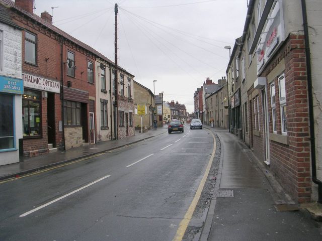
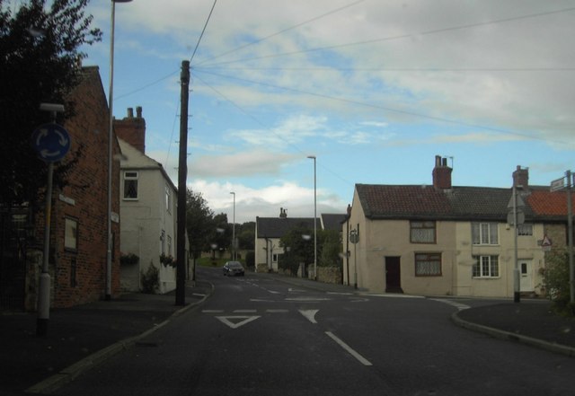
The area is predominantly residential, with a mix of housing types including detached houses, semi-detached houses, and terraced houses. There are also a number of green spaces and parks scattered throughout the parish, providing recreational opportunities for residents.
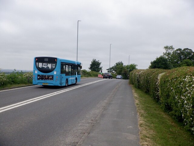
Kippax is known for its strong sense of community and has a range of amenities to cater to the needs of its residents. These include local shops, schools, churches, and community centers. The parish also has good transport links, with regular bus services connecting it to nearby towns and cities.
Overall, Kippax is a charming civil parish in Yorkshire, offering a peaceful residential environment and a close-knit community. Its rich history and range of amenities make it an attractive place to live for individuals and families alike.
If you have any feedback on the listing, please let us know in the comments section below.
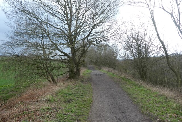
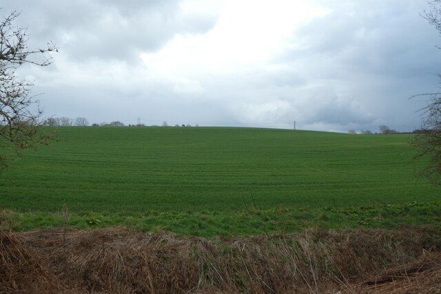
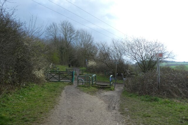
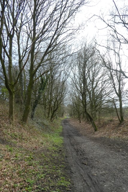
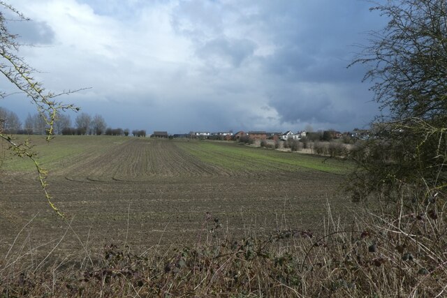
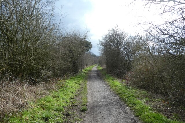
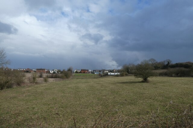
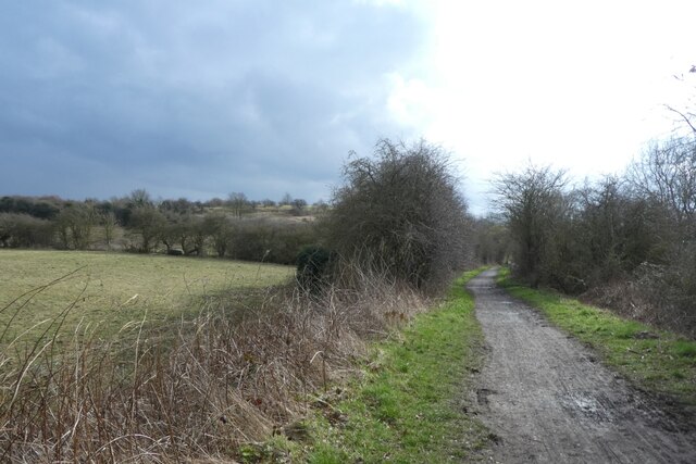
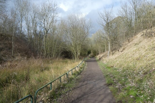
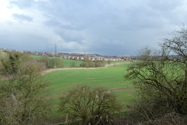
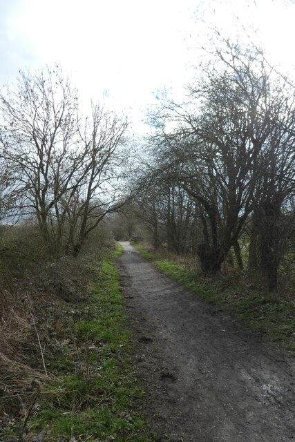
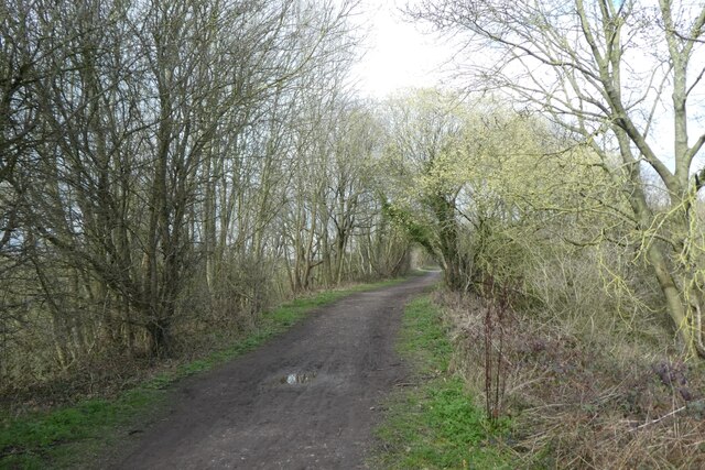
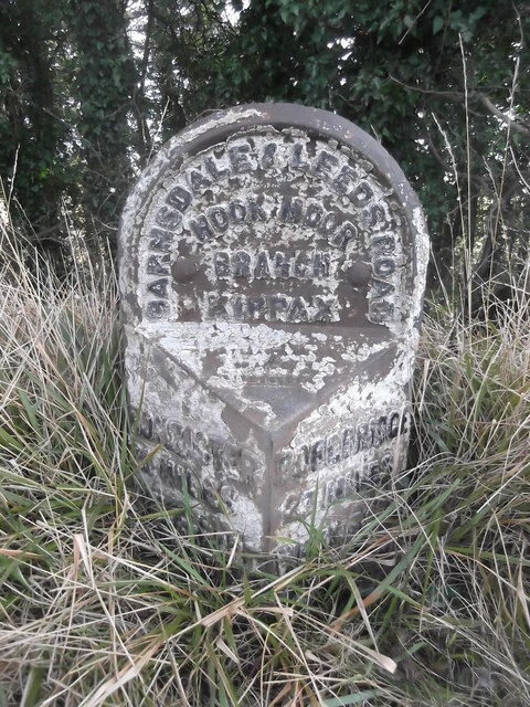
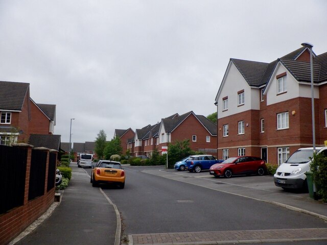
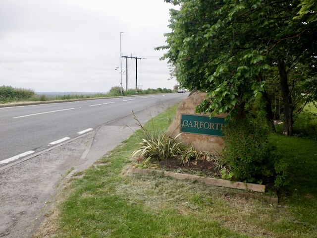
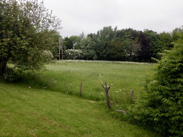
Kippax Images
Images are sourced within 2km of 53.768765/-1.368918 or Grid Reference SE4130. Thanks to Geograph Open Source API. All images are credited.
Kippax is located at Grid Ref: SE4130 (Lat: 53.768765, Lng: -1.368918)
Division: West Riding
Administrative County: West Yorkshire
District: Leeds
Police Authority: West Yorkshire
What 3 Words
///ghosts.revised.albums. Near Kippax, West Yorkshire
Nearby Locations
Related Wikis
Kippax, West Yorkshire
Kippax is a village and civil parish in the City of Leeds metropolitan borough, West Yorkshire, England. It is situated to the east of the city, near...
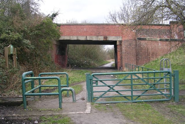
Kippax railway station
Kippax railway station was a railway station on the Castleford–Garforth line in West Yorkshire, England. The station opened in 1878 and closed to passengers...

Brigshaw High School
Brigshaw High School is a coeducational secondary school and sixth form located in the village of Allerton Bywater, West Yorkshire, England. == History... ==
Great Preston
Great Preston is a small rural village in the City of Leeds metropolitan borough, West Yorkshire, England. It has incorporated the once neighbouring hamlet...

Bowers railway station
Bowers railway station was a station opened in 1934 by the London and North Eastern Railway (LNER) on the Castleford–Garforth line, in the West Riding...

Ledston
Ledston (historically also spelt Ledstone) is a village in the Leeds metropolitan borough, in the county of West Yorkshire, England. It is 3 miles (5...

East Garforth railway station
East Garforth railway station serves Garforth in West Yorkshire, England. It is on the Selby Line, and operated by Northern. The station was opened by...

Garforth Academy
Garforth Academy (formerly known as Garforth Comprehensive School until September 1992 and Garforth Community College until November 2010) is a secondary...
Nearby Amenities
Located within 500m of 53.768765,-1.368918Have you been to Kippax?
Leave your review of Kippax below (or comments, questions and feedback).