Kingsbury Episcopi
Civil Parish in Somerset South Somerset
England
Kingsbury Episcopi
Kingsbury Episcopi is a civil parish located in Somerset, England. Situated in the South Somerset district, it covers an area of approximately 17 square kilometers and is home to a population of around 1,300 residents.
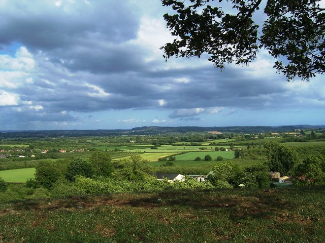
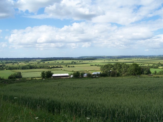
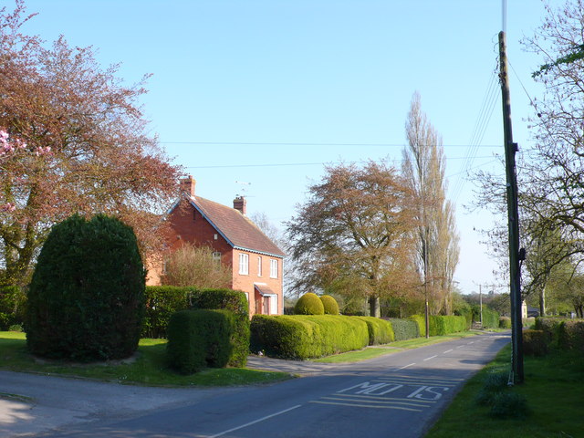
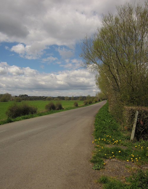
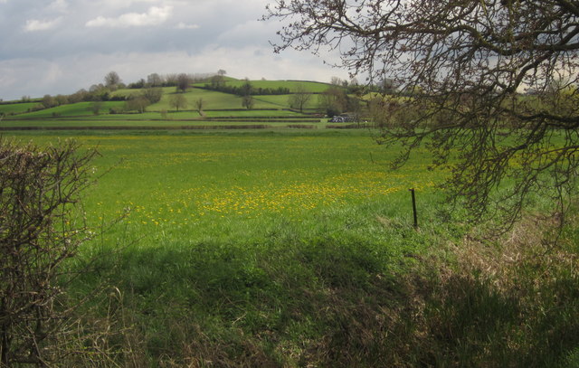
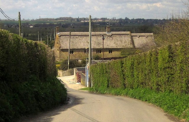
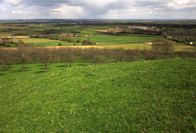
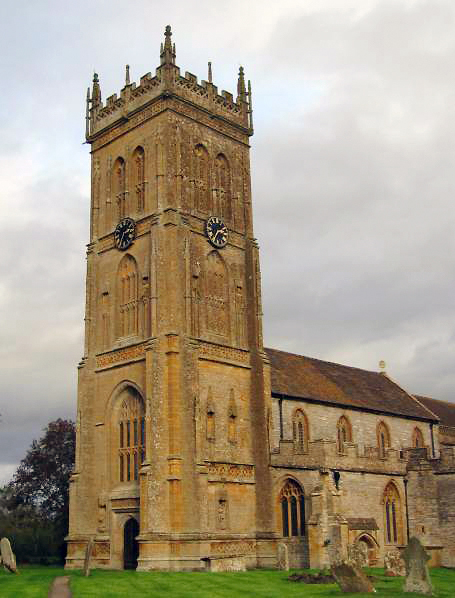
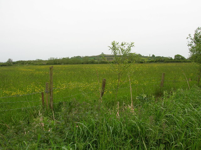
The parish is situated near the River Parrett and is surrounded by beautiful countryside, making it an idyllic rural location. The village itself is characterized by charming thatched cottages, historic buildings, and a traditional village green. The parish church, St. Martin's, is a prominent feature of Kingsbury Episcopi, with parts dating back to the 13th century.
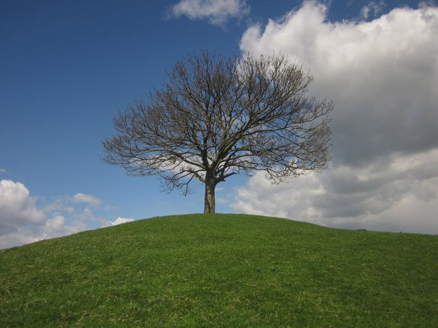
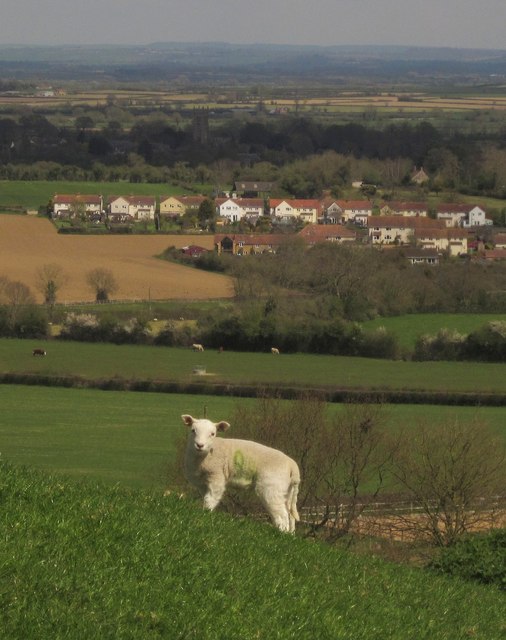
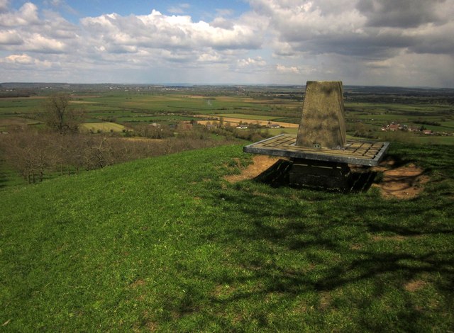
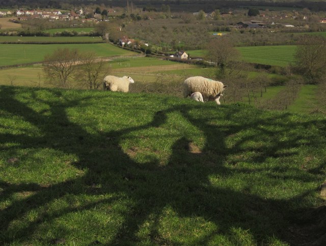
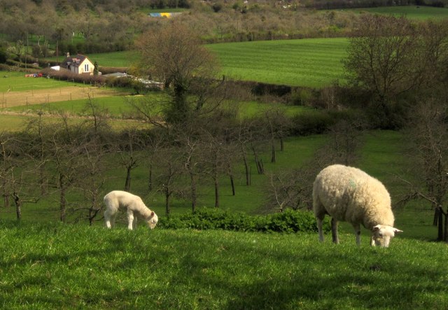
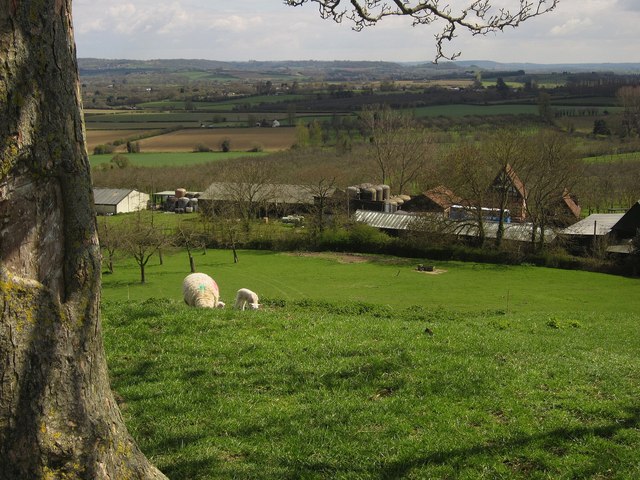
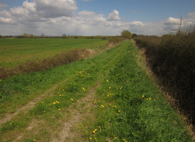
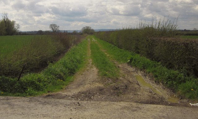
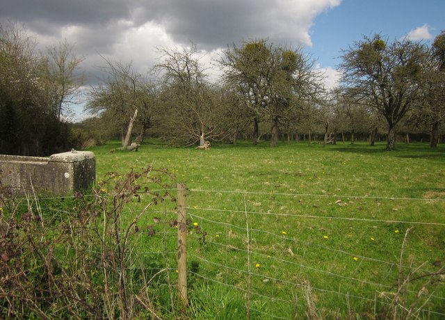
Agriculture plays a significant role in the local economy, with many residents involved in farming and related industries. The fertile land surrounding the village is used for arable farming, livestock rearing, and dairy production. The area is known for its picturesque landscape and is popular with walkers and nature enthusiasts.
The village has a strong sense of community, with various social and recreational activities taking place throughout the year. It has a primary school, a village hall, and a local pub, providing essential services and amenities for residents.
Kingsbury Episcopi benefits from its proximity to larger towns and cities. The market town of Yeovil is just a few miles away, providing access to a wider range of shops, services, and employment opportunities.
Overall, Kingsbury Episcopi offers a peaceful and picturesque setting for its residents, with a strong sense of community and a connection to the surrounding countryside.
If you have any feedback on the listing, please let us know in the comments section below.
Kingsbury Episcopi Images
Images are sourced within 2km of 50.980764/-2.82326 or Grid Reference ST4220. Thanks to Geograph Open Source API. All images are credited.
Kingsbury Episcopi is located at Grid Ref: ST4220 (Lat: 50.980764, Lng: -2.82326)
Administrative County: Somerset
District: South Somerset
Police Authority: Avon and Somerset
What 3 Words
///decoding.recipient.campsites. Near South Petherton, Somerset
Nearby Locations
Related Wikis
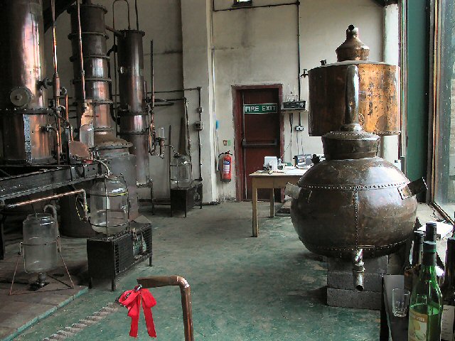
Burrow Hill Cider Farm
Burrow Hill Cider Farm is a cider farm in Somerset, England at the base of Burrow Hill overlooking the Somerset Levels. It has views of most of South Somerset...
Kingsbury Episcopi
Kingsbury Episcopi is a village and civil parish on the River Parrett in Somerset, England, situated 9 miles (14.5 km) north west of Yeovil in the South...
St Martin's Church, Kingsbury Episcopi
The Church of St Martin in Kingsbury Episcopi, Somerset, England, dates from the 14th century and has been designated as a Grade I listed building.The...
West Moor SSSI
West Moor (grid reference ST420220) is a 213.0 hectare (526.3 acre) biological Site of Special Scientific Interest on the River Parrett in Somerset, notified...

East Lambrook
East Lambrook is an English village situated in the civil parish of Kingsbury Episcopi, within the South Somerset district of Somerset. It is noted particularly...
East Lambrook Manor
East Lambrook Manor is a small 15th-century manor house in East Lambrook, Somerset, England, registered by English Heritage as a Grade II* listed building...

Church of St James, East Lambrook
The Anglican Church of St James in East Lambrook, Kingsbury Episcopi, Somerset, England was built in the 12th century. It is a Grade II* listed building...

Midelney Manor
Midelney Manor in Drayton, Somerset, England was built in the late 16th century in two distinct halves by Richard and Thomas Trevillian. It has been designated...
Nearby Amenities
Located within 500m of 50.980764,-2.82326Have you been to Kingsbury Episcopi?
Leave your review of Kingsbury Episcopi below (or comments, questions and feedback).