Stembridge
Settlement in Somerset South Somerset
England
Stembridge
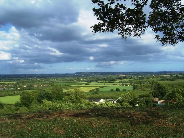
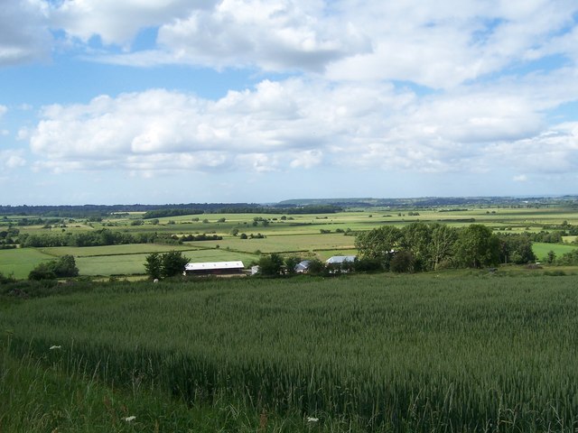
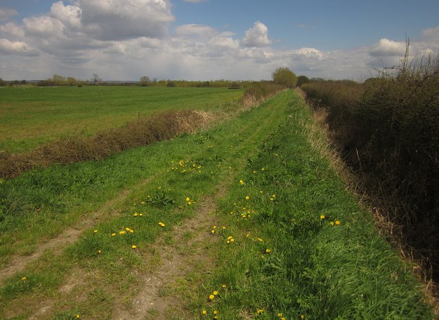
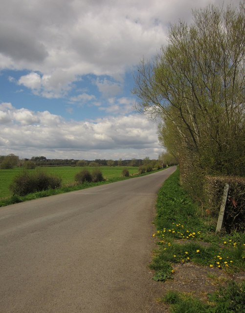
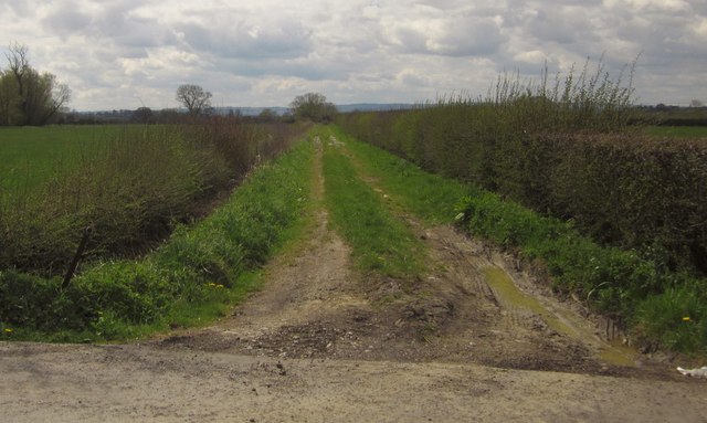
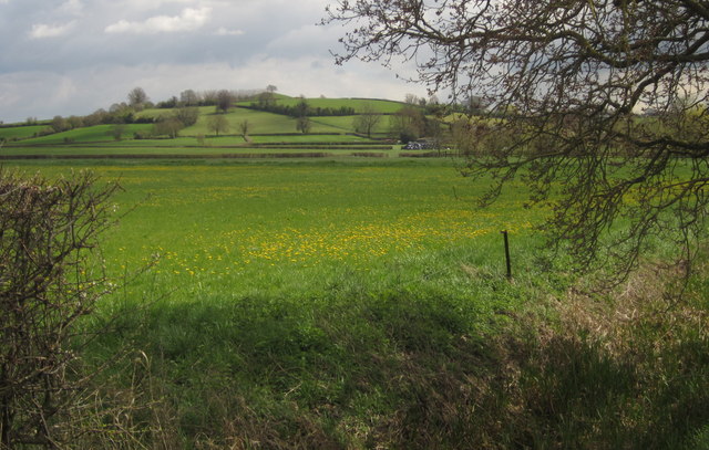
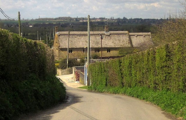
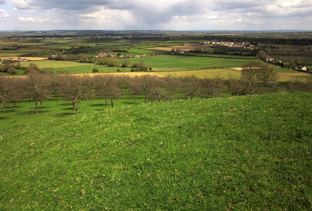
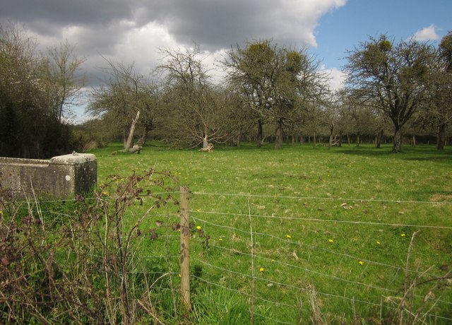
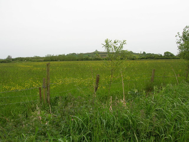
Stembridge is a small village located in the district of South Somerset, England. Situated approximately 4 miles south-west of the town of Martock, Stembridge is nestled in the picturesque countryside of Somerset. The village lies close to the border with Dorset and is surrounded by charming rural landscapes and rolling hills.
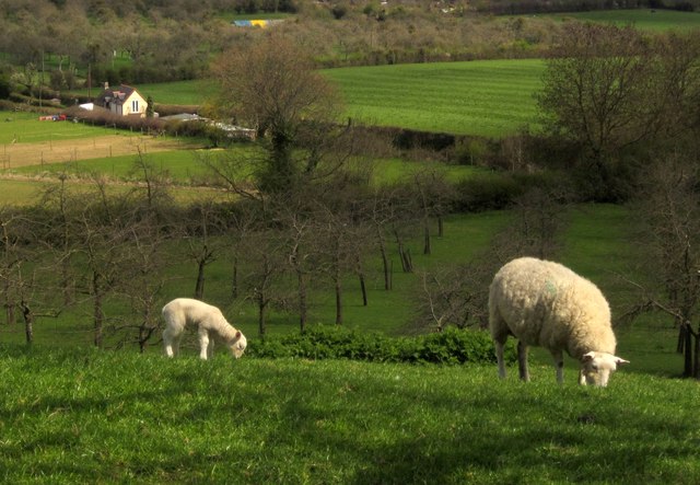
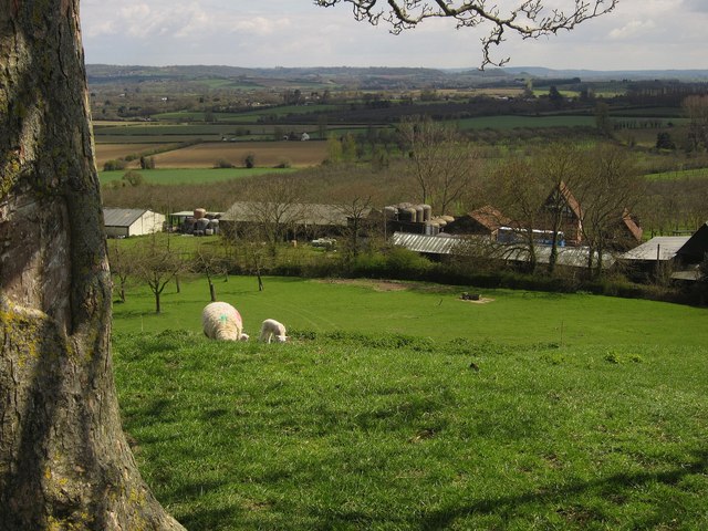
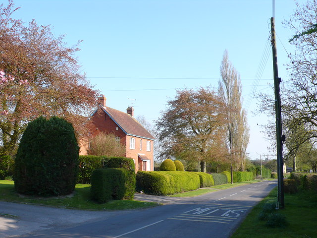
With a population of around 300 residents, Stembridge offers a tranquil and close-knit community atmosphere. The village is primarily residential, with a scattering of traditional cottages and farmhouses dotting the landscape. Many of these properties boast beautiful gardens and open fields, adding to the village's idyllic charm.
Stembridge is perhaps best known for being home to the Stembridge Tower Mill, the oldest surviving thatched windmill in England. This historic landmark, built in the late 18th century, stands proudly in the village and serves as a reminder of Somerset's agricultural heritage. The mill is open to the public and offers visitors a chance to explore its inner workings and learn about traditional milling techniques.
Despite its small size, Stembridge benefits from its proximity to nearby towns and cities. The village is well-connected by road, with the A303 and A358 providing easy access to larger urban areas. This allows residents to enjoy the tranquility of rural living while still having convenient access to amenities and services.
In summary, Stembridge is a charming and peaceful village in Somerset, boasting a close-knit community, stunning countryside surroundings, and a historic windmill that attracts visitors from near and far.
If you have any feedback on the listing, please let us know in the comments section below.
Stembridge Images
Images are sourced within 2km of 50.977967/-2.824578 or Grid Reference ST4220. Thanks to Geograph Open Source API. All images are credited.
Stembridge is located at Grid Ref: ST4220 (Lat: 50.977967, Lng: -2.824578)
Administrative County: Somerset
District: South Somerset
Police Authority: Avon and Somerset
What 3 Words
///rudder.speedily.burying. Near South Petherton, Somerset
Nearby Locations
Related Wikis
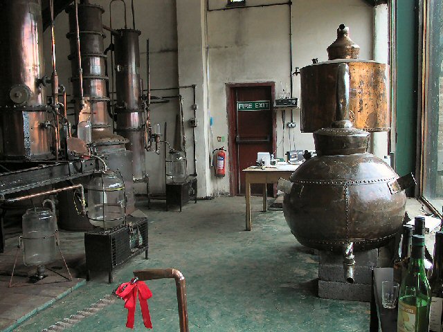
Burrow Hill Cider Farm
Burrow Hill Cider Farm is a cider farm in Somerset, England at the base of Burrow Hill overlooking the Somerset Levels. It has views of most of South Somerset...
Kingsbury Episcopi
Kingsbury Episcopi is a village and civil parish on the River Parrett in Somerset, England, situated 9 miles (14.5 km) north west of Yeovil in the South...

East Lambrook
East Lambrook is an English village situated in the civil parish of Kingsbury Episcopi, within the South Somerset district of Somerset. It is noted particularly...
East Lambrook Manor
East Lambrook Manor is a small 15th-century manor house in East Lambrook, Somerset, England, registered by English Heritage as a Grade II* listed building...
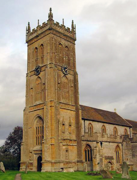
St Martin's Church, Kingsbury Episcopi
The Church of St Martin in Kingsbury Episcopi, Somerset, England, dates from the 14th century and has been designated as a Grade I listed building.The...

Church of St James, East Lambrook
The Anglican Church of St James in East Lambrook, Kingsbury Episcopi, Somerset, England was built in the 12th century. It is a Grade II* listed building...
West Moor SSSI
West Moor (grid reference ST420220) is a 213.0 hectare (526.3 acre) biological Site of Special Scientific Interest on the River Parrett in Somerset, notified...

Parrett Iron Works
The Parrett Iron Works was a series of industrial buildings next to the River Parrett, near Martock, Somerset, England. The site was originally named Carey...
Nearby Amenities
Located within 500m of 50.977967,-2.824578Have you been to Stembridge?
Leave your review of Stembridge below (or comments, questions and feedback).