Stembridge
Settlement in Glamorgan
Wales
Stembridge
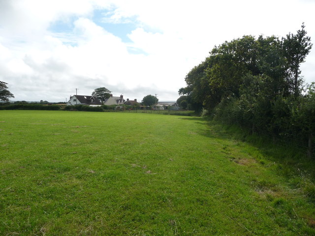
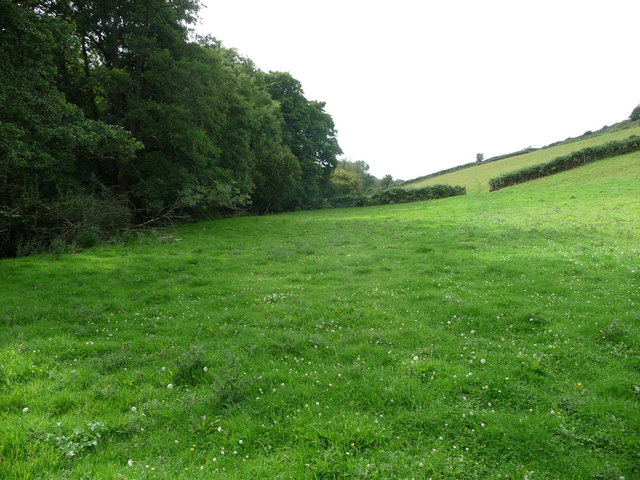
Stembridge is a small village located in the county of Glamorgan, Wales. Situated in the southern part of the country, it lies approximately 10 miles northwest of the bustling city of Cardiff. Stembridge is known for its picturesque surroundings, with rolling hills and lush green landscapes dominating the area.
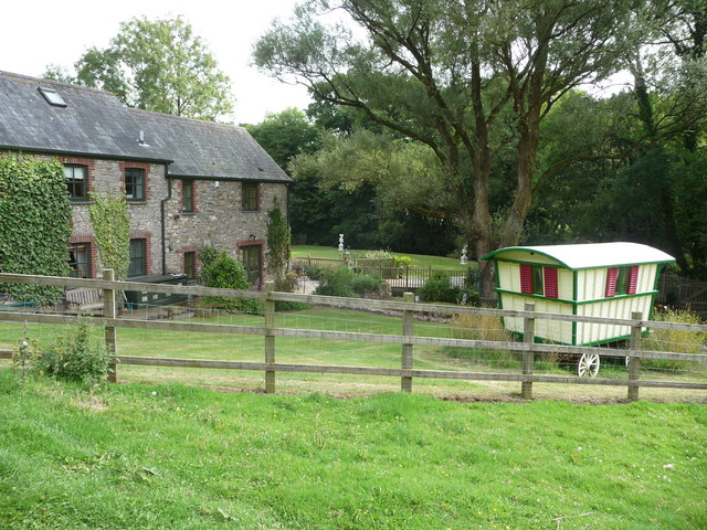
The village itself is quite small, with a population of around 500 residents. It is characterized by its quaint cottages and charming rural atmosphere. Stembridge is a close-knit community, where neighbors often know each other and a strong sense of community spirit is evident.
Despite its small size, Stembridge boasts a few amenities for its residents. There is a local primary school, which serves the village and the surrounding areas. Additionally, a village hall provides a space for community events and gatherings. Stembridge is also home to a small pub, where locals and visitors can enjoy a drink or a meal.
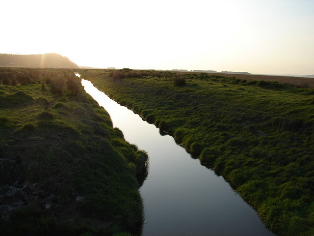
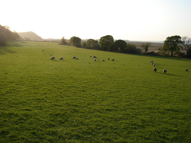
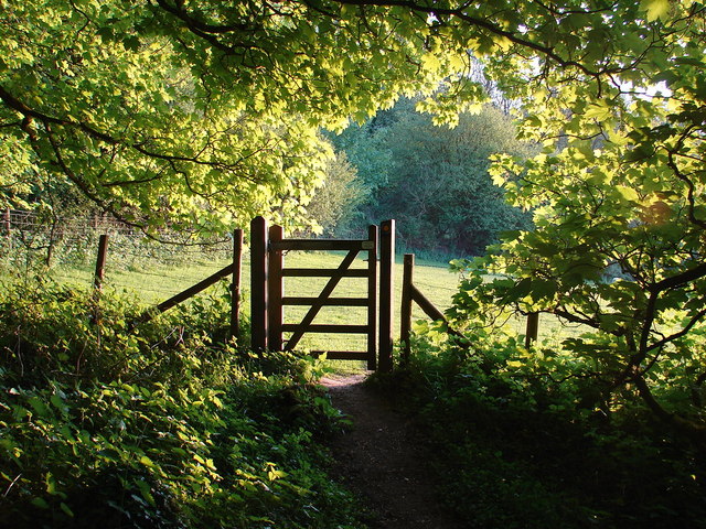
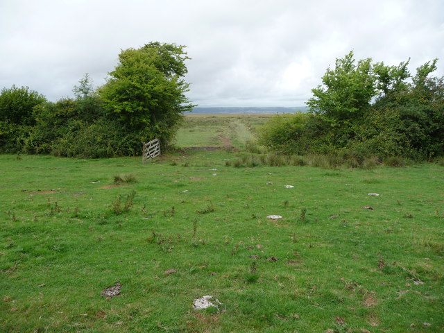
The village is surrounded by beautiful countryside, making it an ideal location for outdoor enthusiasts. There are numerous walking and cycling trails in the vicinity, offering breathtaking views of the surrounding hills and valleys. Stembridge is also close to several nature reserves and parks, providing opportunities for wildlife observation and outdoor leisure activities.
Overall, Stembridge is a peaceful and idyllic village in Glamorgan, offering a tranquil retreat from the nearby city. Its natural beauty and strong sense of community make it an attractive place to live or visit for those seeking a slower pace of life.
If you have any feedback on the listing, please let us know in the comments section below.
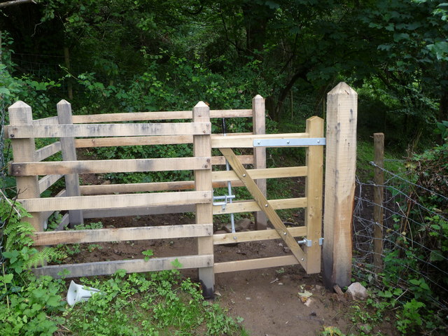
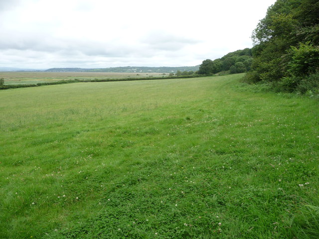
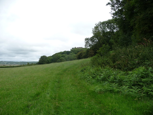
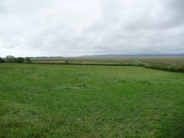
Stembridge Images
Images are sourced within 2km of 51.605737/-4.21734 or Grid Reference SS4691. Thanks to Geograph Open Source API. All images are credited.


Stembridge is located at Grid Ref: SS4691 (Lat: 51.605737, Lng: -4.21734)
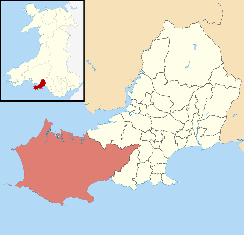
Unitary Authority: Swansea
Police Authority: South Wales
What 3 Words
///menu.replying.clocks. Near Rhossili, Swansea
Nearby Locations
Related Wikis

Landimore
Landimore (Welsh: Llandîmôr) is a hamlet on the north coast of the Gower, in the City and County of Swansea, south Wales. To the north are the extensive...
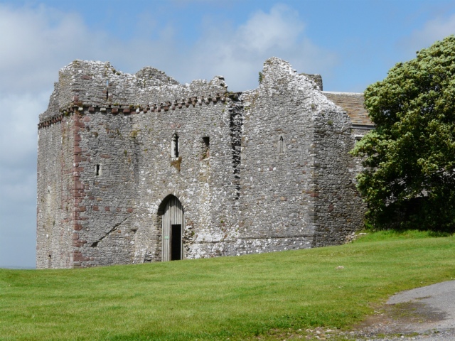
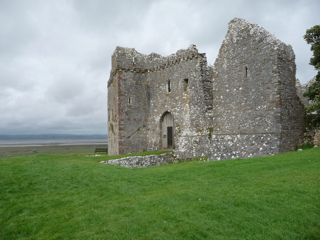
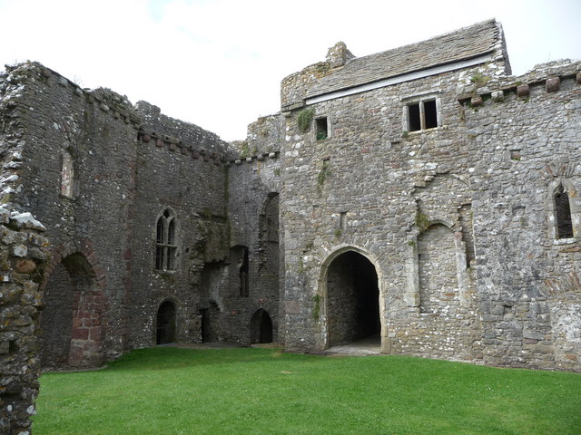
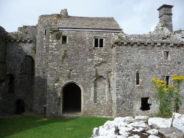
Weobley Castle, Gower
Weobley Castle (pronounced "weblee "; Welsh: Castell Weble) is a 14th-century fortified manor house on the Gower Peninsula, Wales, in the care of Cadw...

Reynoldston
Reynoldston is a rural village and a community in the City and County of Swansea, Wales, which had a population of 439 in 2011. The community has its own...
Gower (electoral ward)
Gower (Welsh: Gŵyr) electoral ward is an electoral ward in Britain. It is a ward of the City and County of Swansea, and comprises the western part of the...
Nearby Amenities
Located within 500m of 51.605737,-4.21734Have you been to Stembridge?
Leave your review of Stembridge below (or comments, questions and feedback).