Bladon

Settlement in Somerset South Somerset

England

Bladon

View from Burrow Hill
View from Burrow Hill Credit: Pam Goodey

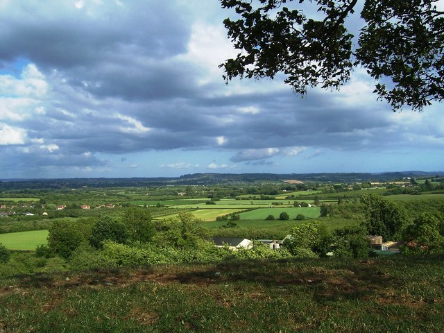
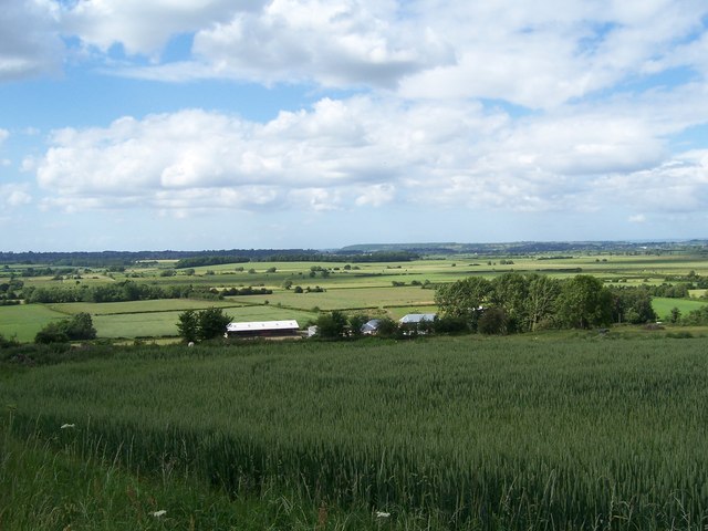
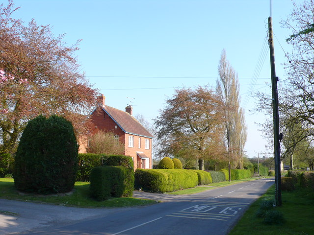
Bladon is a small village located in the county of Somerset, England. It is situated approximately 5 miles northwest of the town of Taunton, and is nestled in the beautiful landscape of the Blackdown Hills Area of Outstanding Natural Beauty.

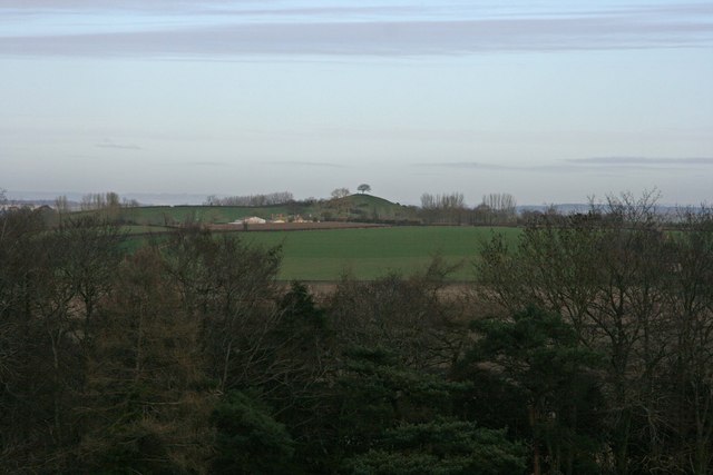
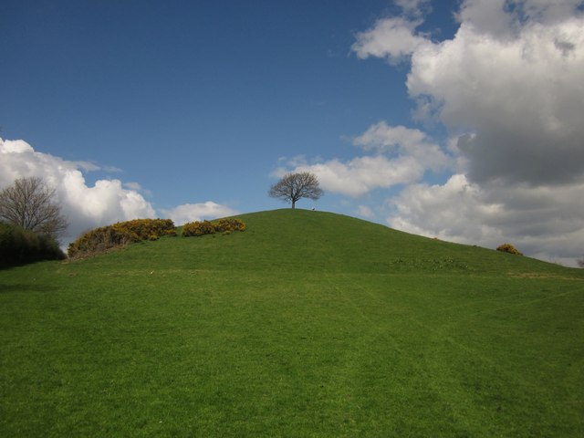
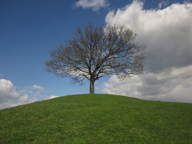
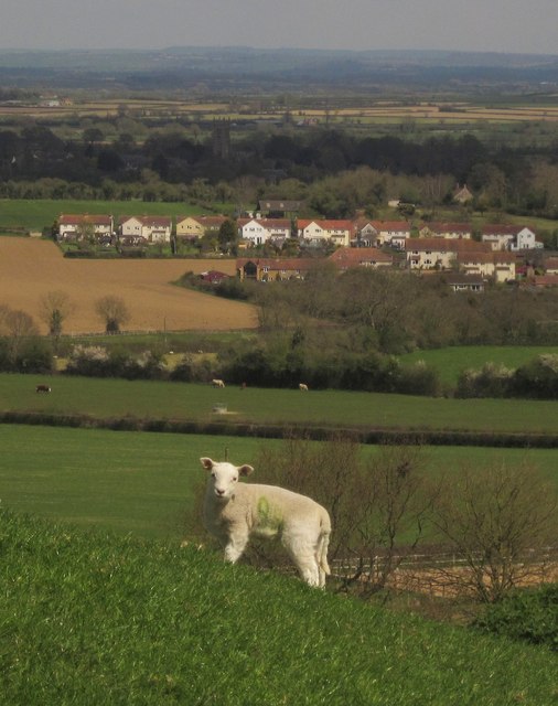
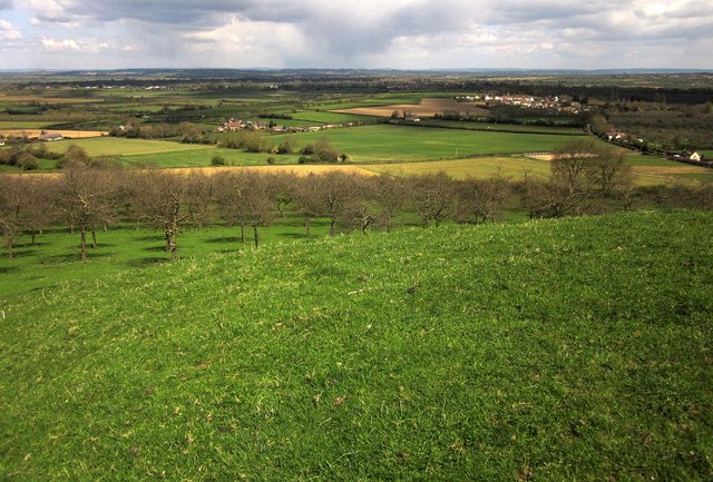
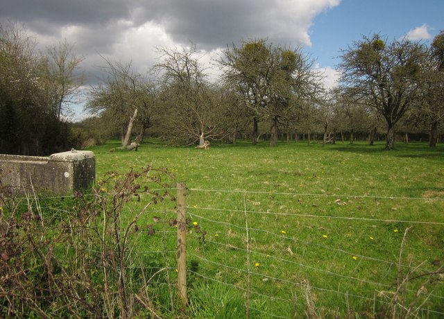
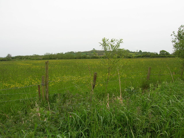
The village is known for its picturesque setting, with rolling hills, charming countryside, and a tranquil atmosphere. It is surrounded by lush fields and woodland, offering residents and visitors alike plenty of opportunities for outdoor activities such as hiking, cycling, and horse riding.

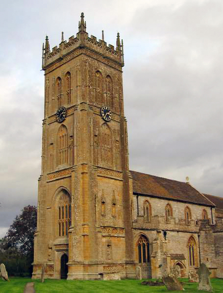
Bladon's history can be traced back to medieval times, as evidenced by the presence of several historical buildings and landmarks. The St. Mary's Church, dating back to the 12th century, is one of the village's most notable features. Its architectural beauty and ancient stone walls make it a popular spot for history enthusiasts and architecture lovers.

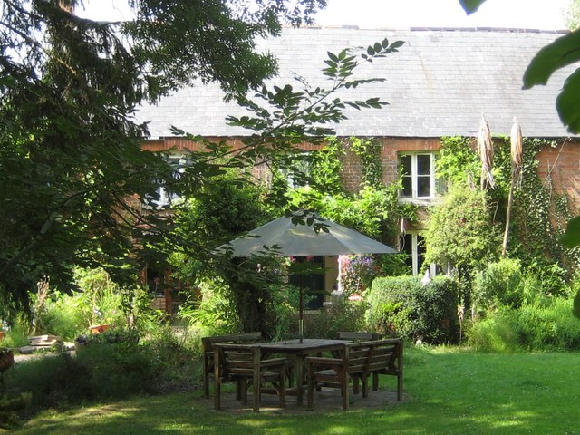
While Bladon is primarily a residential village, it does offer some amenities to its residents. These include a village hall, a primary school, and a few local businesses. For more extensive services, residents can easily access the nearby town of Taunton, which provides a wider range of shops, restaurants, and other amenities.

Bladon, Somerset, is a charming village that offers a peaceful and idyllic lifestyle within the stunning English countryside. Its rich history, natural beauty, and close proximity to Taunton make it an attractive place to live for those seeking a rural retreat.

If you have any feedback on the listing, please let us know in the comments section below.
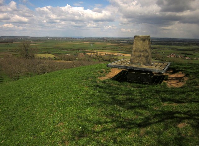
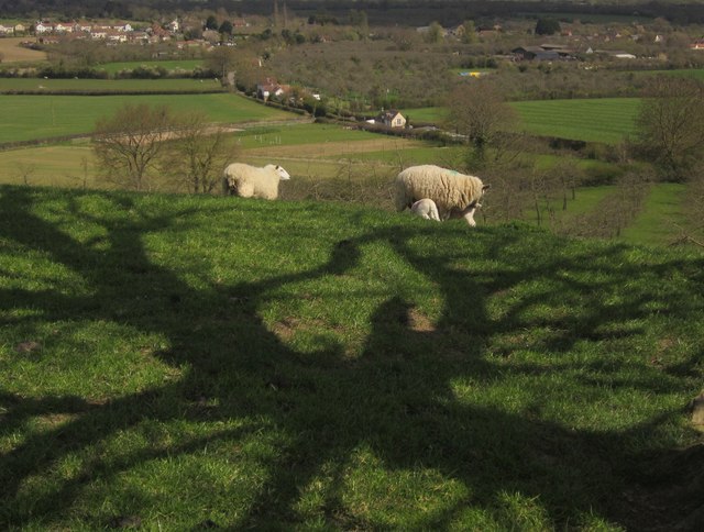
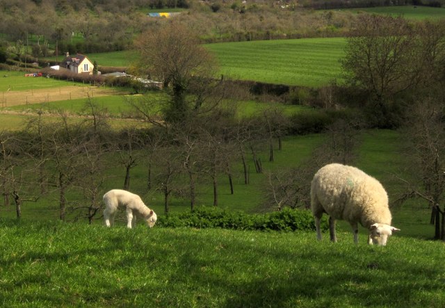
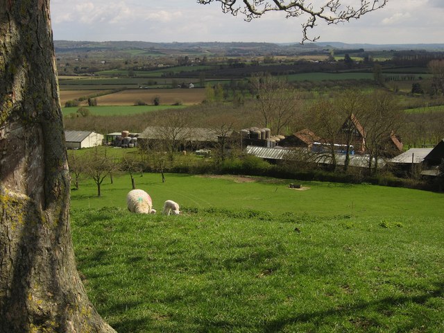
Bladon Images

Images are sourced within 2km of 50.983003/-2.8136898 or Grid Reference ST4220. Thanks to Geograph Open Source API. All images are credited.

View from Burrow Hill
Town Tree Farmhouse Town Tree farmhouse is situated in the centre of the walk through the 22 acres of nature garden that was started in the 1970's and opened to the public in 1987. The land was originally flat farmland until Chris Burnett who was born in the farmhouse, started his dream of forming the garden.
Town Tree Farmhouse
Town Tree farmhouse is situated in the centre of the walk through the 22 acres of nature garden that was started in the 1970's and opened to the public in 1987. The land was originally flat farmland until Chris Burnett who was born in the farmhouse, started his dream of forming the garden.
Town Tree nature garden This stone commemorates the opening of the nature garden in the 1980's by Richard Wyatt of HTV Bristol.
Town Tree nature garden
This stone commemorates the opening of the nature garden in the 1980's by Richard Wyatt of HTV Bristol.
Burrow Hill from Barrington
Burrow Hill The perfect hill, for this day, anyway, after hours spent mainly on the levels. A ewe awaits me beside the solitary hilltop tree. One public footpath leads to the top, another passes along the left side.
Burrow Hill
The perfect hill, for this day, anyway, after hours spent mainly on the levels. A ewe awaits me beside the solitary hilltop tree. One public footpath leads to the top, another passes along the left side.
Tree on Burrow Hill Approaching the sycamore on top of the hill shown in <a href="https://www.geograph.org.uk/photo/3434266">ST4120 : Burrow Hill</a>.
Tree on Burrow Hill
Approaching the sycamore on top of the hill shown in ST4120 : Burrow Hill.
Lamb on Burrow Hill A number of lambs and ewes had climbed to enjoy the view. In shadow behind is the church at Kingsbury Episcopi <a href="https://www.geograph.org.uk/photo/45554">ST4321 : Kingsbury Episcopi: church</a>, with housing at Stembridge nearer at hand.
Lamb on Burrow Hill
A number of lambs and ewes had climbed to enjoy the view. In shadow behind is the church at Kingsbury Episcopi ST4321 : Kingsbury Episcopi: church, with housing at Stembridge nearer at hand.
Trig point on Burrow Hill Only 77 metres above sea level but a commanding view in all directions. The houses behind the pillar are at Lower Burrow; the levels beyond are West Moor.
Trig point on Burrow Hill
Only 77 metres above sea level but a commanding view in all directions. The houses behind the pillar are at Lower Burrow; the levels beyond are West Moor.
Sheep on Burrow Hill With the shadow of the sycamore shown in <a href="https://www.geograph.org.uk/photo/3434344">ST4120 : Tree on Burrow Hill</a>. Below are houses along Burrow Way.
Sheep on Burrow Hill
With the shadow of the sycamore shown in ST4120 : Tree on Burrow Hill. Below are houses along Burrow Way.
Sheep on Burrow Hill In the background is a detail of the scene in <a href="https://www.geograph.org.uk/photo/3434459">ST4120 : Sheep on Burrow Hill</a>, with orchards on either side of Burrow Way.
Sheep on Burrow Hill
In the background is a detail of the scene in ST4120 : Sheep on Burrow Hill, with orchards on either side of Burrow Way.
Pass Vale Farm A view from the top of Burrow Hill. The farm is the HQ of The Somerset Cider Brandy Company (Burrow Hill Cider).
Pass Vale Farm
A view from the top of Burrow Hill. The farm is the HQ of The Somerset Cider Brandy Company (Burrow Hill Cider).
House in Stembridge Ash This is the view south along New Cross Hill which runs from Stembridge up to New Cross.
House in Stembridge Ash
This is the view south along New Cross Hill which runs from Stembridge up to New Cross.
Sowing Maize Seed These two tractors were working a field just west of Martock not far from the river Parrett. 
The further tractor is tilling the field producing a good tilth ready for the closer tractor to plant the maize seed. It can be seen that the soil on the extreme right is still quite rough.
 The seed maize is held in the six small white hoppers on the seed drill on  the rear of the closer tractor. The seed drill deposits the maize seeds a fixed distance apart and also deposits a small amount of fertiliser just to the side of the seed. The fertiliser is held in the large white hopper on the back of the closer tractor. 
The raised discs on either side of the seed drill can be lowered to cut a furrow which the tractor driver can follow on his next pass down the field to ensure correct coverage of the whole field.
Thanks to the farmer Steve for letting me take the photos and for explaining what was going on.
Sowing Maize Seed
These two tractors were working a field just west of Martock not far from the river Parrett. The further tractor is tilling the field producing a good tilth ready for the closer tractor to plant the maize seed. It can be seen that the soil on the extreme right is still quite rough. The seed maize is held in the six small white hoppers on the seed drill on the rear of the closer tractor. The seed drill deposits the maize seeds a fixed distance apart and also deposits a small amount of fertiliser just to the side of the seed. The fertiliser is held in the large white hopper on the back of the closer tractor. The raised discs on either side of the seed drill can be lowered to cut a furrow which the tractor driver can follow on his next pass down the field to ensure correct coverage of the whole field. Thanks to the farmer Steve for letting me take the photos and for explaining what was going on.
Tractor and Seed Drill The driver of this tractor with attached seed drill was patiently waiting for the field to be completely tilled before he started sowing seed maize. See <a href="https://www.geograph.org.uk/photo/3451088">ST4420 : Sowing Maize Seed</a> to see what was going on with full explanation.
Tractor and Seed Drill
The driver of this tractor with attached seed drill was patiently waiting for the field to be completely tilled before he started sowing seed maize. See ST4420 : Sowing Maize Seed to see what was going on with full explanation.
Seed Hopper on Seed Drill This shows the seed hopper on a seed drill with it about half full of bright pink maize seed. The colouring is due to a coating to protect the seed. The handles at the bottom of the image are presumably for setting planting depths and separation.
See <a href="https://www.geograph.org.uk/photo/3451088">ST4420 : Sowing Maize Seed</a> for more details.
Seed Hopper on Seed Drill
This shows the seed hopper on a seed drill with it about half full of bright pink maize seed. The colouring is due to a coating to protect the seed. The handles at the bottom of the image are presumably for setting planting depths and separation. See ST4420 : Sowing Maize Seed for more details.
View from Burrow Hill Beyond the orchard, on the north and east slopes of the hill, are a hamlet around Lower Burrow Farm (left of centre) and Stembridge (right). Lost in shadow beyond is Kingsbury Episcopi.
View from Burrow Hill
Beyond the orchard, on the north and east slopes of the hill, are a hamlet around Lower Burrow Farm (left of centre) and Stembridge (right). Lost in shadow beyond is Kingsbury Episcopi.
Orchard, Stembridge This is beside Deadlands Lane near Oak Tree Farm.
Orchard, Stembridge
This is beside Deadlands Lane near Oak Tree Farm.
Show me another place!

Bladon is located at Grid Ref: ST4220 (Lat: 50.983003, Lng: -2.8136898)

Administrative County: Somerset

District: South Somerset

Police Authority: Avon and Somerset

What 3 Words

///pushover.pranced.scenes. Near Martock, Somerset

Related Wikis

Kingsbury Episcopi

Kingsbury Episcopi is a village and civil parish on the River Parrett in Somerset, England, situated 9 miles (14.5 km) north west of Yeovil in the South...

St Martin's Church, Kingsbury Episcopi

The Church of St Martin in Kingsbury Episcopi, Somerset, England, dates from the 14th century and has been designated as a Grade I listed building.The...

West Moor SSSI

West Moor (grid reference ST420220) is a 213.0 hectare (526.3 acre) biological Site of Special Scientific Interest on the River Parrett in Somerset, notified...

Burrow Hill Cider Farm

Burrow Hill Cider Farm is a cider farm in Somerset, England at the base of Burrow Hill overlooking the Somerset Levels. It has views of most of South Somerset...

East Lambrook

East Lambrook is an English village situated in the civil parish of Kingsbury Episcopi, within the South Somerset district of Somerset. It is noted particularly...

East Lambrook Manor

East Lambrook Manor is a small 15th-century manor house in East Lambrook, Somerset, England, registered by English Heritage as a Grade II* listed building...

Church of St James, East Lambrook

The Anglican Church of St James in East Lambrook, Kingsbury Episcopi, Somerset, England was built in the 12th century. It is a Grade II* listed building...

Parrett Iron Works

The Parrett Iron Works was a series of industrial buildings next to the River Parrett, near Martock, Somerset, England. The site was originally named Carey...

Nearby Amenities

Located within 500m of 50.983003,-2.8136898
Power: pole
Source: bing
Lat/Long: 50.9816141/-2.8091124
Power: pole
Source: bing
Switch: yes
Lat/Long: 50.9810442/-2.8085089
Power: pole
Source: bing
Lat/Long: 50.9804329/-2.8078423
Note: Recloser?
Power: pole
Source: bing
Switch: yes
Lat/Long: 50.9799102/-2.8092733
Power: pole
Source: bing
Switch: yes
Lat/Long: 50.979429/-2.8106278
Power: pole
Source: bing
Lat/Long: 50.9832251/-2.8104454
Power: pole
Source: bing
Transformer: distribution
Lat/Long: 50.9841293/-2.8110167
Power: pole
Source: bing
Lat/Long: 50.9847507/-2.8112447
Power: pole
Source: bing
Lat/Long: 50.9854354/-2.8115049
Power: pole
Source: bing
Lat/Long: 50.9868942/-2.8120561
Power: pole
Source: bing
Lat/Long: 50.9860719/-2.8092438
Power: pole
Source: bing
Lat/Long: 50.9861116/-2.8117611
Power: pole
Source: bing
Lat/Long: 50.9857494/-2.8103851
Power: pole
Source: bing
Lat/Long: 50.9822769/-2.8098124
Power: pole
Source: bing
Lat/Long: 50.9789629/-2.8119408
Power: pole
Source: bing
Lat/Long: 50.9785171/-2.8132403
Information: guidepost
Tourism: information
Lat/Long: 50.9825768/-2.8071509
The data included in this document is from www.openstreetmap.org. The data is made available under ODbL.

Have you been to Bladon?

Leave your review of Bladon below (or comments, questions and feedback).