Ibberton

Civil Parish in Dorset North Dorset

England

Ibberton

Farmland, Turnworth
Farmland, Turnworth Credit: Richard Webb

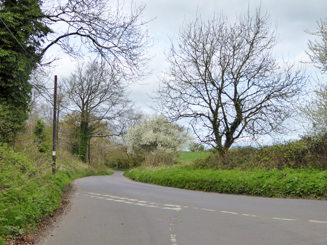
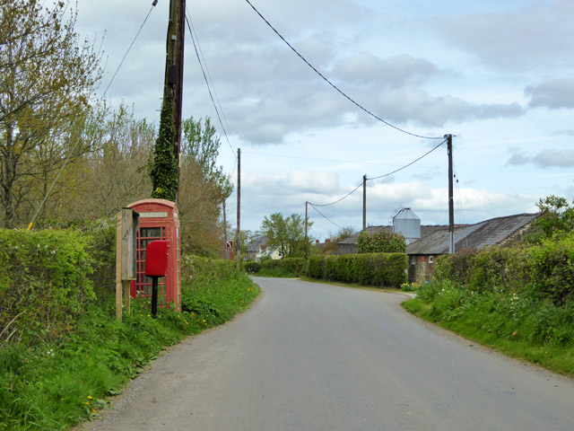
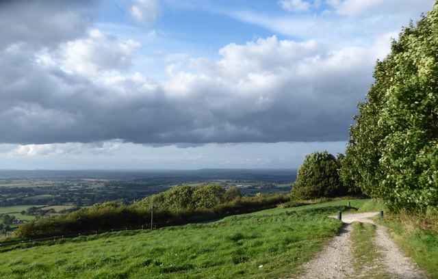
Ibberton is a small civil parish located in the county of Dorset, England. Situated near the town of Blandford Forum, Ibberton covers an area of approximately 4 square miles and has a population of around 200 residents. The parish is surrounded by picturesque countryside, with rolling hills and charming rural landscapes.

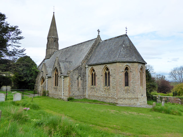
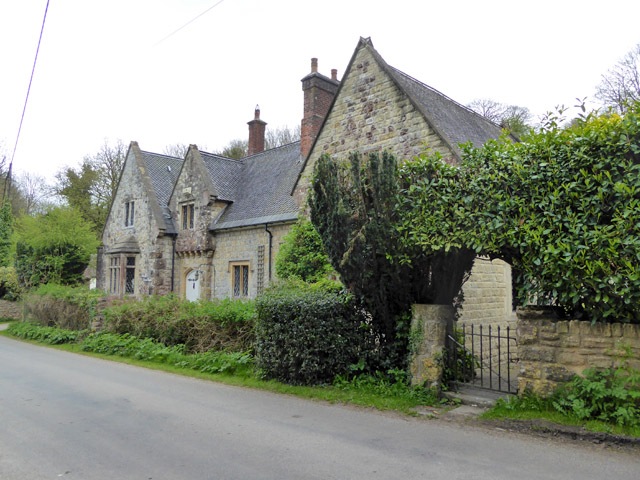
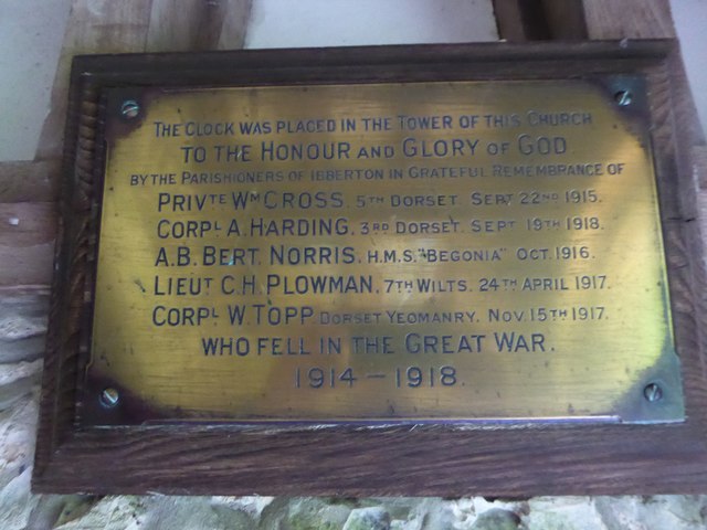
The village of Ibberton itself is a quintessential English village, with a small collection of traditional cottages and houses. The centerpiece of the village is the historic St Eustace Church, which dates back to the 13th century and is a Grade I listed building. The church's architecture is a mix of Norman and Gothic styles, and it is renowned for its beautifully preserved stained glass windows.

The local economy of Ibberton is predominantly agricultural, with farming playing a significant role in the community. The fertile soil and favorable climate in the area make it ideal for crop cultivation and livestock rearing. The village also benefits from being part of the larger Dorset tourism industry, with visitors attracted to the area for its natural beauty and historical attractions.

Residents of Ibberton enjoy a close-knit community spirit, with various social events and activities organized throughout the year. The village has a well-maintained playground and a village hall that serves as a hub for community gatherings and local events.

Overall, Ibberton offers a tranquil and idyllic setting, making it an appealing place to live for those seeking a peaceful rural lifestyle.

If you have any feedback on the listing, please let us know in the comments section below.
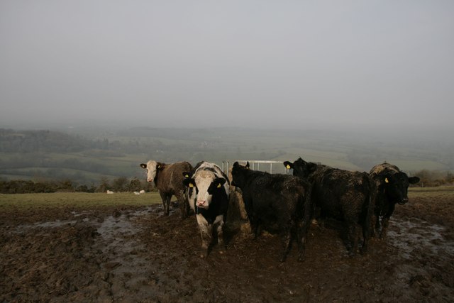
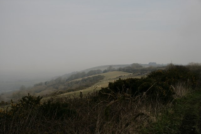
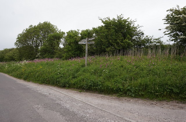
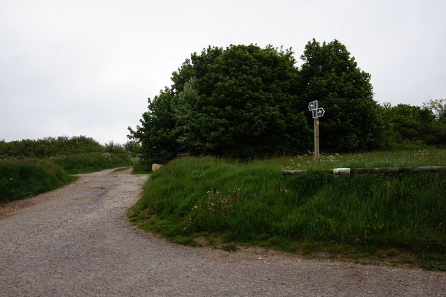
Ibberton Images

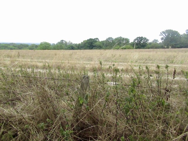
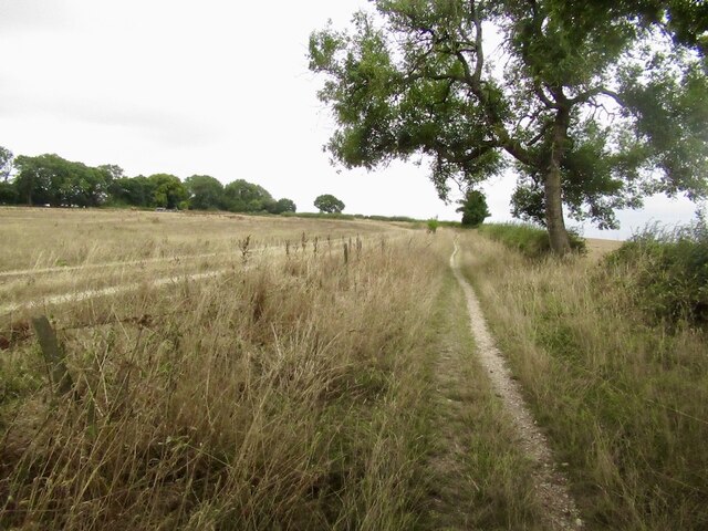
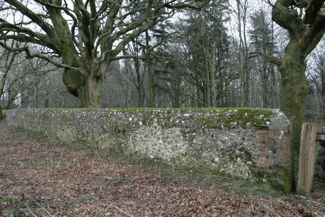
Images are sourced within 2km of 50.865952/-2.293736 or Grid Reference ST7907. Thanks to Geograph Open Source API. All images are credited.

Farmland, Turnworth
Farmland, Turnworth
Path on Bell Hill
Path on Bell Hill
Pigs, Pigs, Pigs Pigs on the summit field of Bell Hill
Pigs, Pigs, Pigs
Pigs on the summit field of Bell Hill
Wall at Delcombe Head There is an Ordnance Survey benchmark on the wall end. See <span class="nowrap"><a title="http://www.bench-marks.org.uk/bm47073" rel="nofollow ugc noopener" href="http://www.bench-marks.org.uk/bm47073">Link</a><img style="margin-left:2px;" alt="External link" title="External link - shift click to open in new window" src="https://s1.geograph.org.uk/img/external.png" width="10" height="10"/></span> for description and <a href="https://www.geograph.org.uk/photo/4863413">ST7805 : Benchmark on wall, Delcombe Head</a> for closer picture.
Wall at Delcombe Head
There is an Ordnance Survey benchmark on the wall end. See LinkExternal link for description and ST7805 : Benchmark on wall, Delcombe Head for closer picture.
Benchmark on wall, Delcombe Head Ordnance Survey benchmark, described on database at <span class="nowrap"><a title="http://www.bench-marks.org.uk/bm47073" rel="nofollow ugc noopener" href="http://www.bench-marks.org.uk/bm47073">Link</a><img style="margin-left:2px;" alt="External link" title="External link - shift click to open in new window" src="https://s1.geograph.org.uk/img/external.png" width="10" height="10"/></span>. For context photo, see <a href="https://www.geograph.org.uk/photo/4863400">ST7805 : Wall at Delcombe Head</a>.
Benchmark on wall, Delcombe Head
Ordnance Survey benchmark, described on database at LinkExternal link. For context photo, see ST7805 : Wall at Delcombe Head.
Ibberton Ford This ford at Marsh Farm, Ibberton runs along the byway for about 50 metres.
Ibberton Ford
This ford at Marsh Farm, Ibberton runs along the byway for about 50 metres.
Cross Dyke at Ibberton
Baker's Folly, Ibberton
Cows and mud on Chitcombe Down Taken from the Wessex ridgeway, looking north on a very misty morning.
Cows and mud on Chitcombe Down
Taken from the Wessex ridgeway, looking north on a very misty morning.
Misty morning on Chitcombe Down
Cross Tracks on Chitcombe Down
Bridleway at Ibberton Hill
Rural road junction The road ahead, according to the signpost here, goes to Bulbarrow, Stoke Wake and Ansty Cross.
Rural road junction
The road ahead, according to the signpost here, goes to Bulbarrow, Stoke Wake and Ansty Cross.
Woolland church A grade II listed building, about 1857. 'Unknown dedication' - odd for such a late church, surely someone must know.
Woolland church
A grade II listed building, about 1857. 'Unknown dedication' - odd for such a late church, surely someone must know.
Notice board, postbox, telephone box, Woolland Across the road from Skinners Farm.
Notice board, postbox, telephone box, Woolland
Across the road from Skinners Farm.
The Old School, Woolland A grade II listed building, from about 1850.
The Old School, Woolland
A grade II listed building, from about 1850.
Exiting the car park on Ibberton Hill
War Memorial, Ibberton Church Porch
Show me another place!

Ibberton is located at Grid Ref: ST7907 (Lat: 50.865952, Lng: -2.293736)

Administrative County: Dorset

District: North Dorset

Police Authority: Dorset

What 3 Words

///commented.breakfast.grabs. Near Shillingstone, Dorset

Related Wikis

Church of St Eustace, Ibberton

The Parish Church of St Eustace is a Grade II* listed Anglican church in the village of Ibberton, Dorset. It stands to the south of the village, on a steep...

Ibberton

Ibberton is a village and civil parish in the county of Dorset in southern England. It is situated in the Blackmore Vale under the scarp face of the Dorset...

Bell Hill, Dorset

At 258 metres, Bell Hill is one of the highest hills in the county of Dorset, England and a high point on the Wessex Ridgeway. == Location == Bell Hill...

Belchalwell Street

Belchalwell Street is a village in Dorset, England, at the foot of Bell Hill, generally included in the village of Belchalwell. == External links == Belchalwell

Nearby Amenities

Located within 500m of 50.865952,-2.293736
Parking
Lat/Long: 50.8625236/-2.2980652
Colour: gray
Design: portal
Line Attachment: suspension
Material: metal
Power: tower
Source: bing
Structure: lattice
Lat/Long: 50.864714/-2.3003101
Colour: gray
Design: portal
Line Attachment: suspension
Material: metal
Power: tower
Source: bing
Structure: lattice
Lat/Long: 50.8648255/-2.2875956
Colour: gray
Design: portal
Line Attachment: suspension
Material: metal
Power: tower
Source: bing
Structure: lattice
Lat/Long: 50.864991/-2.2977879
Colour: gray
Design: portal
Line Attachment: suspension
Material: metal
Power: tower
Source: bing
Structure: lattice
Lat/Long: 50.8651265/-2.2893179
Colour: gray
Design: portal
Line Attachment: suspension
Material: metal
Power: tower
Source: bing
Structure: lattice
Lat/Long: 50.8651508/-2.2962409
Colour: gray
Design: portal
Line Attachment: suspension
Material: metal
Power: tower
Source: bing
Structure: lattice
Lat/Long: 50.8654085/-2.293791
Colour: gray
Design: portal
Line Attachment: suspension
Material: metal
Power: tower
Source: bing
Structure: lattice
Lat/Long: 50.8656105/-2.2919816
Barrier: kissing_gate
Lat/Long: 50.8626173/-2.2984507
The data included in this document is from www.openstreetmap.org. The data is made available under ODbL.

Have you been to Ibberton?

Leave your review of Ibberton below (or comments, questions and feedback).