Hythe and Dibden

Civil Parish in Hampshire New Forest

England

Hythe and Dibden

A bus for Hythe departing from the Garden City stop, Dibden A 'Blue Star' No.8 service.
A bus for Hythe departing from the Garden City stop, Dibden Credit: John Lucas

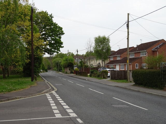
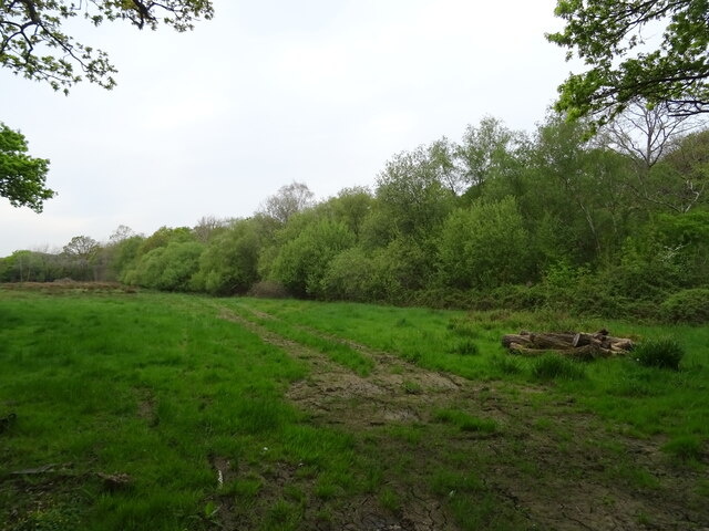
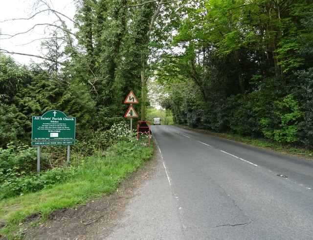
Hythe and Dibden is a civil parish located in the county of Hampshire, England. Situated on the eastern edge of the New Forest National Park, it is a picturesque area that encompasses the towns of Hythe and Dibden.

Hythe, which lies on the western bank of the Southampton Water, has a rich maritime history. It is home to the Hythe Pier, one of the oldest operating piers in the country. The pier is renowned for its electric train service, which has been operating since 1922, and provides a unique way to travel to Southampton. The town also features a charming high street with a variety of shops, cafes, and restaurants, offering a mix of local and national retailers.

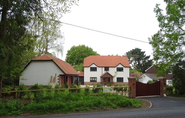
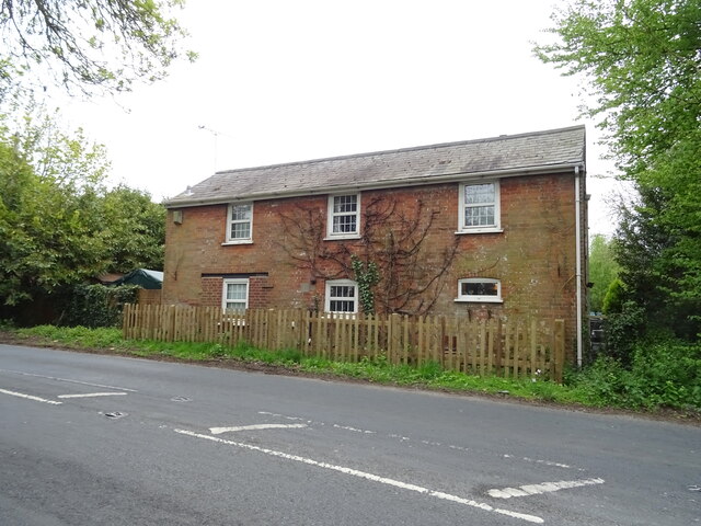
Dibden, on the other hand, is a more rural area located slightly inland. It is characterized by its beautiful countryside, open spaces, and farmland. Dibden Purlieu, a small village within the parish, is home to a local primary school and several community facilities.

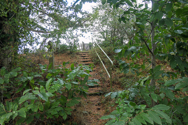
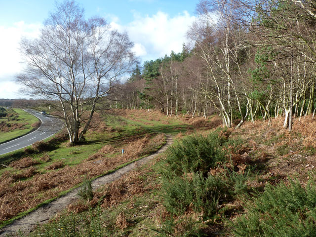
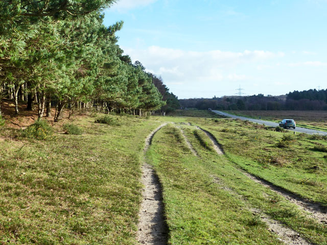
The parish as a whole offers a range of recreational activities for residents and visitors alike. The New Forest National Park provides ample opportunities for walking, cycling, and wildlife spotting. The area is also popular for water sports such as sailing, kayaking, and fishing due to its proximity to the Southampton Water.

In terms of amenities, Hythe and Dibden have good transportation links, with regular bus services connecting the towns to nearby Southampton and other surrounding areas. The parish also has a number of schools, healthcare facilities, and leisure centers, providing essential services and activities for the local community.

Overall, Hythe and Dibden offer a unique blend of maritime heritage, rural charm, and natural beauty, making it an attractive place to live or visit.

If you have any feedback on the listing, please let us know in the comments section below.

Hythe and Dibden Images

Images are sourced within 2km of 50.87383/-1.43317 or Grid Reference SU3908. Thanks to Geograph Open Source API. All images are credited.

A bus for Hythe departing from the Garden City stop, Dibden A 'Blue Star' No.8 service.
A bus for Hythe departing from the Garden City stop, Dibden
A 'Blue Star' No.8 service.
A field of harvested sweetcorn A fairly benign looking field, but when attempting to follow a public footpath around the edge, I slipped into a deep furrow and was trapped there in the mud for some 36 hours. A police team and dog eventually found me after establishing my location from the last 'ping' of my phone (which had been rendered useless by water).

After some 16 years of Geographing, I doubt that I shall again be exploring new ground 'off the beaten track', mostly at the exhortations of my family, but the event also shook my own confidence - we shall see if I can overcome that.

It's somewhat ironic that, after wild camping and exploring the wilds of Scotland, The Peaks, Snowdonia etc., it should be in an ordinary field in the county of my birth which has bought my 'wild' Geographing exploration to an end. 

This image was the last that I took before finding myself in my 'predicament'. Thankfully, I was able to rescue the memory cards from my ruined camera gear!
A field of harvested sweetcorn
A fairly benign looking field, but when attempting to follow a public footpath around the edge, I slipped into a deep furrow and was trapped there in the mud for some 36 hours. A police team and dog eventually found me after establishing my location from the last 'ping' of my phone (which had been rendered useless by water). After some 16 years of Geographing, I doubt that I shall again be exploring new ground 'off the beaten track', mostly at the exhortations of my family, but the event also shook my own confidence - we shall see if I can overcome that. It's somewhat ironic that, after wild camping and exploring the wilds of Scotland, The Peaks, Snowdonia etc., it should be in an ordinary field in the county of my birth which has bought my 'wild' Geographing exploration to an end. This image was the last that I took before finding myself in my 'predicament'. Thankfully, I was able to rescue the memory cards from my ruined camera gear!
Hythe Road
Hythe Road
The Pilgrim Inn
The Pilgrim Inn
Sign for the Pilgrim Inn
Woodland beside railway
Hythe Road
Hythe Road
House on Main Road
House on Main Road
Cottage on Main Road
Main Road towards Dibden
Elizabeth II postbox on Main Road, Dibden Postbox No. SO45 57.
Elizabeth II postbox on Main Road, Dibden
Postbox No. SO45 57.
Bus stop and shelter on Main Road, Dibden Showing position of Postbox No. SO45 57.
Bus stop and shelter on Main Road, Dibden
Showing position of Postbox No. SO45 57.
Steps leading to a footpath which crosses farmland leading to Hangar Corner Leading away from the Marchwood Bypass. Although waymarked, the path is not well maintained and a barrier has been positioned on the other side of the gate in the centre of the view.
Steps leading to a footpath which crosses farmland leading to Hangar Corner
Leading away from the Marchwood Bypass. Although waymarked, the path is not well maintained and a barrier has been positioned on the other side of the gate in the centre of the view.
Barred footpath gateway - public footpath I was able to step over it - just. But it might have been better if I hadn't, given what followed a while later! See <a href="https://www.geograph.org.uk/photo/7305672">SU3908 : A field of harvested sweetcorn</a>. Marchwood bypass is just visible through the foliage.
Barred footpath gateway - public footpath
I was able to step over it - just. But it might have been better if I hadn't, given what followed a while later! See SU3908 : A field of harvested sweetcorn. Marchwood bypass is just visible through the foliage.
New Arterio train at Marchwood Military Port These much-delayed new suburban trains for South Western Railway are in storage at Marchwood Military Port, hopefully waiting to be put into service soon!
New Arterio train at Marchwood Military Port
These much-delayed new suburban trains for South Western Railway are in storage at Marchwood Military Port, hopefully waiting to be put into service soon!
Path by Marchwood Inclosure It is certainly used by horses, but whether ridden or free ranging is hard to tell.
Path by Marchwood Inclosure
It is certainly used by horses, but whether ridden or free ranging is hard to tell.
Three strand path Between Marchwood Inclosure on the left and the road to Dibden.
Three strand path
Between Marchwood Inclosure on the left and the road to Dibden.
Show me another place!

Hythe and Dibden is located at Grid Ref: SU3908 (Lat: 50.87383, Lng: -1.43317)

Administrative County: Hampshire

District: New Forest

Police Authority: Hampshire

What 3 Words

///became.drives.noted. Near Marchwood, Hampshire

Nearby Locations

Hythe and Dibden

Related Wikis

Dibden

Dibden is a small village in Hampshire, England, which dates from the Middle Ages. It is dominated by the nearby settlements of Hythe and Dibden Purlieu...

Hythe & Dibden F.C.

Hythe & Dibden Football Club is a football club based in Hythe, near Southampton in Hampshire. They are currently members of the Wessex League Premier...

Dibden Bay

Dibden Bay is a 229.4-hectare (567-acre) biological Site of Special Scientific Interest (SSSI) between Marchwood and Hythe in Hampshire.Most of this site...

Applemore College

Applemore College is a secondary school in Hampshire, England, situated in the village of Dibden Purlieu on the edge of the New Forest. It offers education...
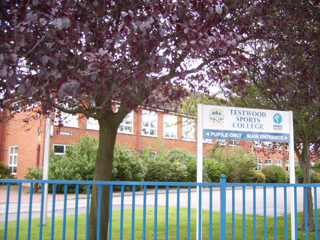
Testwood School

Testwood School (formerly Testwood Sports College) is a secondary school with academy status located in the town of Totton and Eling, England. The school...

Fawley branch line

The Fawley branch line, also known as the Waterside line is a standard-gauge railway line to Fawley, in the English county of Hampshire. It is on the opposite...

Noadswood School

Noadswood School is an academy school and specialist Sports College in Dibden Purlieu, Hampshire, England. It provides state funded education for children...

Marchwood railway station

Marchwood railway station was an intermediate station on the Totton, Hythe and Fawley Light Railway, which was built along the coast of Southampton Water...

Nearby Amenities

Located within 500m of 50.87383,-1.43317
Dibden Golf Club
Created By: Potlatch 0.4b
Sport: golf
Lat/Long: 50.8702246/-1.4317698
Traffic Calming: island
Lat/Long: 50.8726312/-1.4397279
Post Box
Operator: Royal Mail
Operator Wikidata: Q638098
Ref: SO45 57
Lat/Long: 50.8750506/-1.4391022
Bus Stop
Dibden Garden City
Bus: yes
Naptan AtcoCode: 1900HA080284
Naptan Bearing: N
Naptan CommonName: Dibden Garden City
Naptan Crossing: Garden City
Naptan NaptanCode: hamatgwd
Naptan Street: Main Road
Naptan Verified: no
Public Transport: platform
Source: naptan_import
Lat/Long: 50.8756319/-1.4393583
Bus Stop
Dibden Garden City
Bus: yes
Naptan AtcoCode: 1900HA080285
Naptan Bearing: S
Naptan CommonName: Dibden Garden City
Naptan Crossing: Garden City
Naptan NaptanCode: hamatgwj
Naptan Street: Main Road
Naptan Verified: no
Public Transport: platform
Source: naptan_import
Lat/Long: 50.8750737/-1.4392087
Crossing
Bicycle: yes
Crossing Island: yes
Crossing Markings: dots
Kerb: lowered
Tactile Paving: yes
Lat/Long: 50.8736852/-1.4393515
Crossing
Bicycle: yes
Crossing Island: yes
Crossing Markings: dots
Kerb: lowered
Tactile Paving: yes
Lat/Long: 50.8738877/-1.4389799
Golf: pin
Lat/Long: 50.8697673/-1.4324011
Golf: pin
Lat/Long: 50.8708938/-1.4314057
Golf: pin
Lat/Long: 50.8705185/-1.4327967
Golf: pin
Lat/Long: 50.8715262/-1.429348
Golf: pin
Lat/Long: 50.872833/-1.4264129
Golf: pin
Lat/Long: 50.87028/-1.4309916
Ele: 31
Man Made: survey_point
Natural: peak
Ref: TP 2775
Survey Point Purpose: both
Survey Point Structure: pillar
Lat/Long: 50.8758975/-1.4378643
Dibden
Place: hamlet
Lat/Long: 50.8740641/-1.4281826
Give Way
Lat/Long: 50.8727177/-1.4396509
Bench
Lat/Long: 50.8735924/-1.4393069
The data included in this document is from www.openstreetmap.org. The data is made available under ODbL.

Have you been to Hythe and Dibden?

Leave your review of Hythe and Dibden below (or comments, questions and feedback).