Aplin's Heath

Downs, Moorland in Dorset

England

Aplin's Heath

Pigs, Pigs, Pigs Pigs on the summit field of Bell Hill
Pigs, Pigs, Pigs Credit: Richard Webb

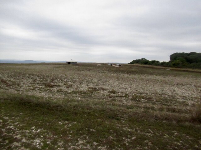
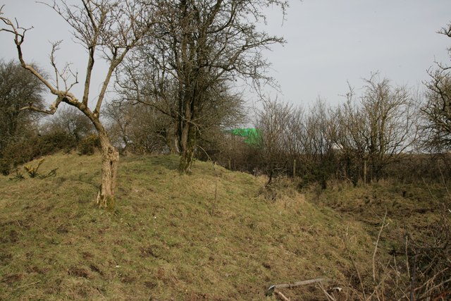
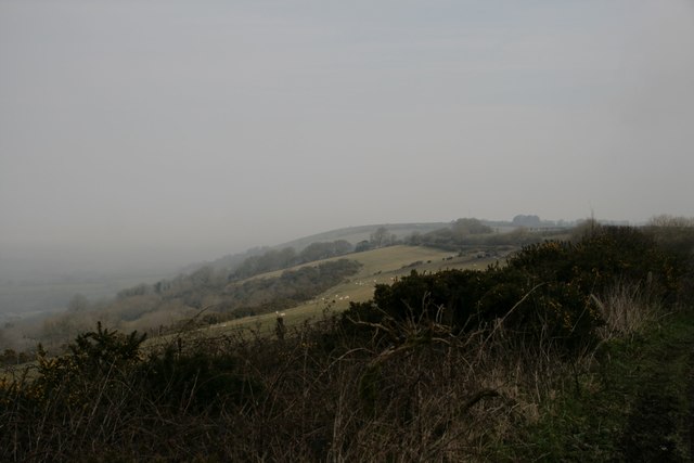
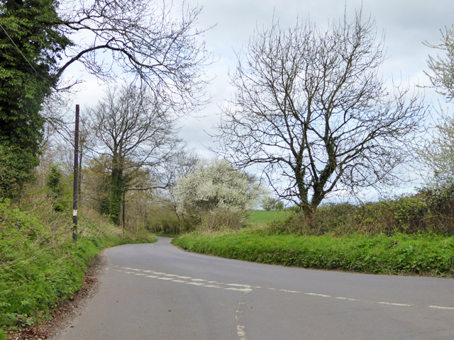
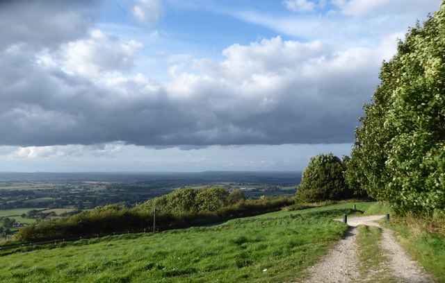
Aplin's Heath is a picturesque area situated in Dorset, England. It is renowned for its stunning natural beauty, characterized by rolling hills, expansive downs, and vast stretches of moorland. Covering an area of approximately 500 acres, Aplin's Heath offers visitors a unique and immersive experience in the heart of the Dorset countryside.

The landscape of Aplin's Heath is dominated by open grasslands, interspersed with patches of heather and gorse. These vibrant colors create a captivating visual spectacle, particularly during the summer months when the heath is in full bloom. The area is also home to a variety of wildlife, including rare bird species, such as the Dartford warbler and the stonechat.

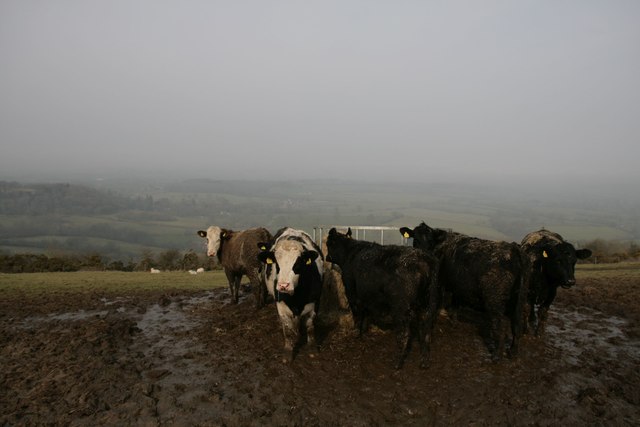
The heathland at Aplin's Heath is carefully managed to preserve its natural habitat and encourage biodiversity. Traditional farming and grazing practices are employed to maintain the delicate balance of this ecosystem. Visitors to the area can witness the harmonious coexistence of agriculture and conservation efforts.

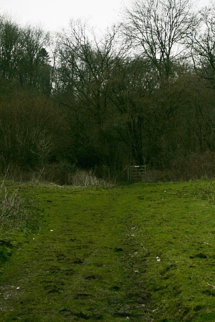
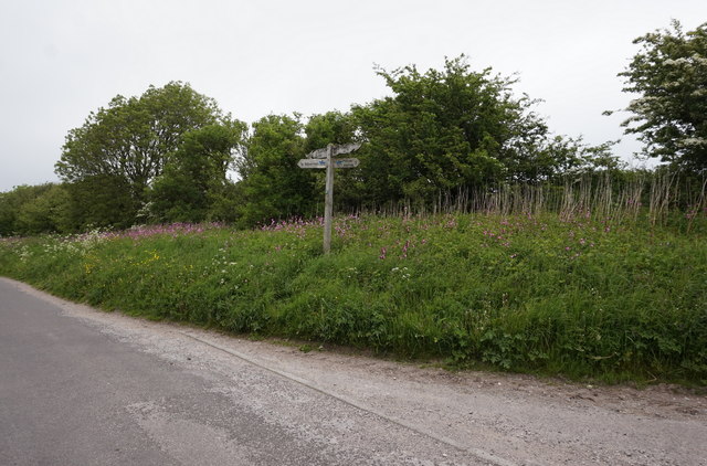
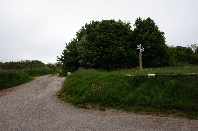
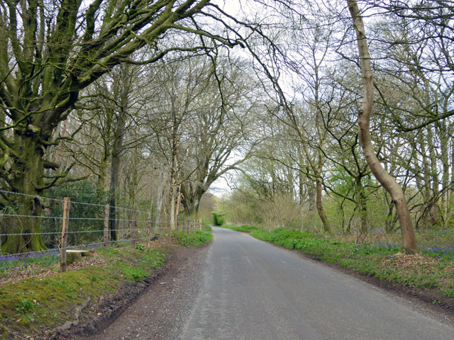
Aplin's Heath offers a range of recreational activities for nature enthusiasts and outdoor adventurers. Visitors can explore the numerous footpaths and trails that crisscross the heath, providing breathtaking views of the surrounding countryside. The area is also popular among birdwatchers, who come to observe the diverse avian species that inhabit the heathland.

With its unspoiled natural beauty and rich biodiversity, Aplin's Heath is a must-visit destination for those seeking tranquility and a connection with nature. Whether it's a leisurely stroll, a birdwatching expedition, or simply enjoying the beauty of the countryside, Aplin's Heath offers an unforgettable experience for all who venture into its captivating landscape.

If you have any feedback on the listing, please let us know in the comments section below.

Aplin's Heath Images

Images are sourced within 2km of 50.863542/-2.2933531 or Grid Reference ST7907. Thanks to Geograph Open Source API. All images are credited.

Pigs, Pigs, Pigs Pigs on the summit field of Bell Hill
Pigs, Pigs, Pigs
Pigs on the summit field of Bell Hill
Wall at Delcombe Head There is an Ordnance Survey benchmark on the wall end. See <span class="nowrap"><a title="http://www.bench-marks.org.uk/bm47073" rel="nofollow ugc noopener" href="http://www.bench-marks.org.uk/bm47073">Link</a><img style="margin-left:2px;" alt="External link" title="External link - shift click to open in new window" src="https://s1.geograph.org.uk/img/external.png" width="10" height="10"/></span> for description and <a href="https://www.geograph.org.uk/photo/4863413">ST7805 : Benchmark on wall, Delcombe Head</a> for closer picture.
Wall at Delcombe Head
There is an Ordnance Survey benchmark on the wall end. See LinkExternal link for description and ST7805 : Benchmark on wall, Delcombe Head for closer picture.
Benchmark on wall, Delcombe Head Ordnance Survey benchmark, described on database at <span class="nowrap"><a title="http://www.bench-marks.org.uk/bm47073" rel="nofollow ugc noopener" href="http://www.bench-marks.org.uk/bm47073">Link</a><img style="margin-left:2px;" alt="External link" title="External link - shift click to open in new window" src="https://s1.geograph.org.uk/img/external.png" width="10" height="10"/></span>. For context photo, see <a href="https://www.geograph.org.uk/photo/4863400">ST7805 : Wall at Delcombe Head</a>.
Benchmark on wall, Delcombe Head
Ordnance Survey benchmark, described on database at LinkExternal link. For context photo, see ST7805 : Wall at Delcombe Head.
Ibberton Ford This ford at Marsh Farm, Ibberton runs along the byway for about 50 metres.
Ibberton Ford
This ford at Marsh Farm, Ibberton runs along the byway for about 50 metres.
Cross Dyke at Ibberton
Bridleway through Ochil Wood
Baker's Folly, Ibberton
Cows and mud on Chitcombe Down Taken from the Wessex ridgeway, looking north on a very misty morning.
Cows and mud on Chitcombe Down
Taken from the Wessex ridgeway, looking north on a very misty morning.
Misty morning on Chitcombe Down
Cross Tracks on Chitcombe Down
Bridleway at Ibberton Hill
Road towards Woolland Hill Passing through access woodland for much of the way, the wood on the left, Delcombe Wood, is private.
Road towards Woolland Hill
Passing through access woodland for much of the way, the wood on the left, Delcombe Wood, is private.
Rural road junction The road ahead, according to the signpost here, goes to Bulbarrow, Stoke Wake and Ansty Cross.
Rural road junction
The road ahead, according to the signpost here, goes to Bulbarrow, Stoke Wake and Ansty Cross.
Woolland church A grade II listed building, about 1857. 'Unknown dedication' - odd for such a late church, surely someone must know.
Woolland church
A grade II listed building, about 1857. 'Unknown dedication' - odd for such a late church, surely someone must know.
Notice board, postbox, telephone box, Woolland Across the road from Skinners Farm.
Notice board, postbox, telephone box, Woolland
Across the road from Skinners Farm.
The Old School, Woolland A grade II listed building, from about 1850.
The Old School, Woolland
A grade II listed building, from about 1850.
Exiting the car park on Ibberton Hill
War Memorial, Ibberton Church Porch
Show me another place!

Aplin's Heath is located at Grid Ref: ST7907 (Lat: 50.863542, Lng: -2.2933531)

Unitary Authority: Dorset

Police Authority: Dorset

What 3 Words

///aimless.bleat.radically. Near Shillingstone, Dorset

Related Wikis

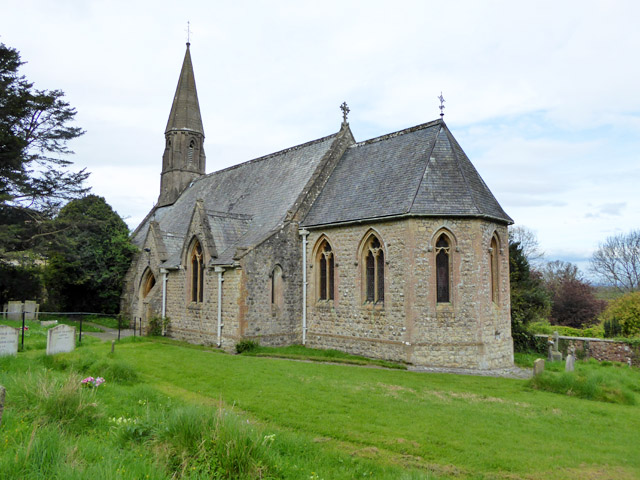
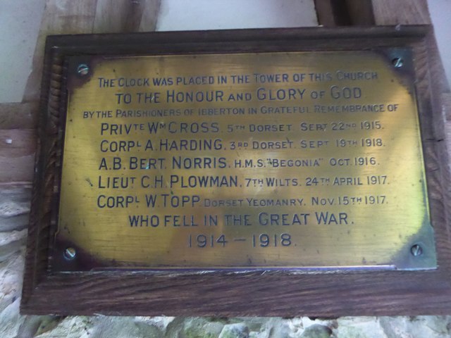
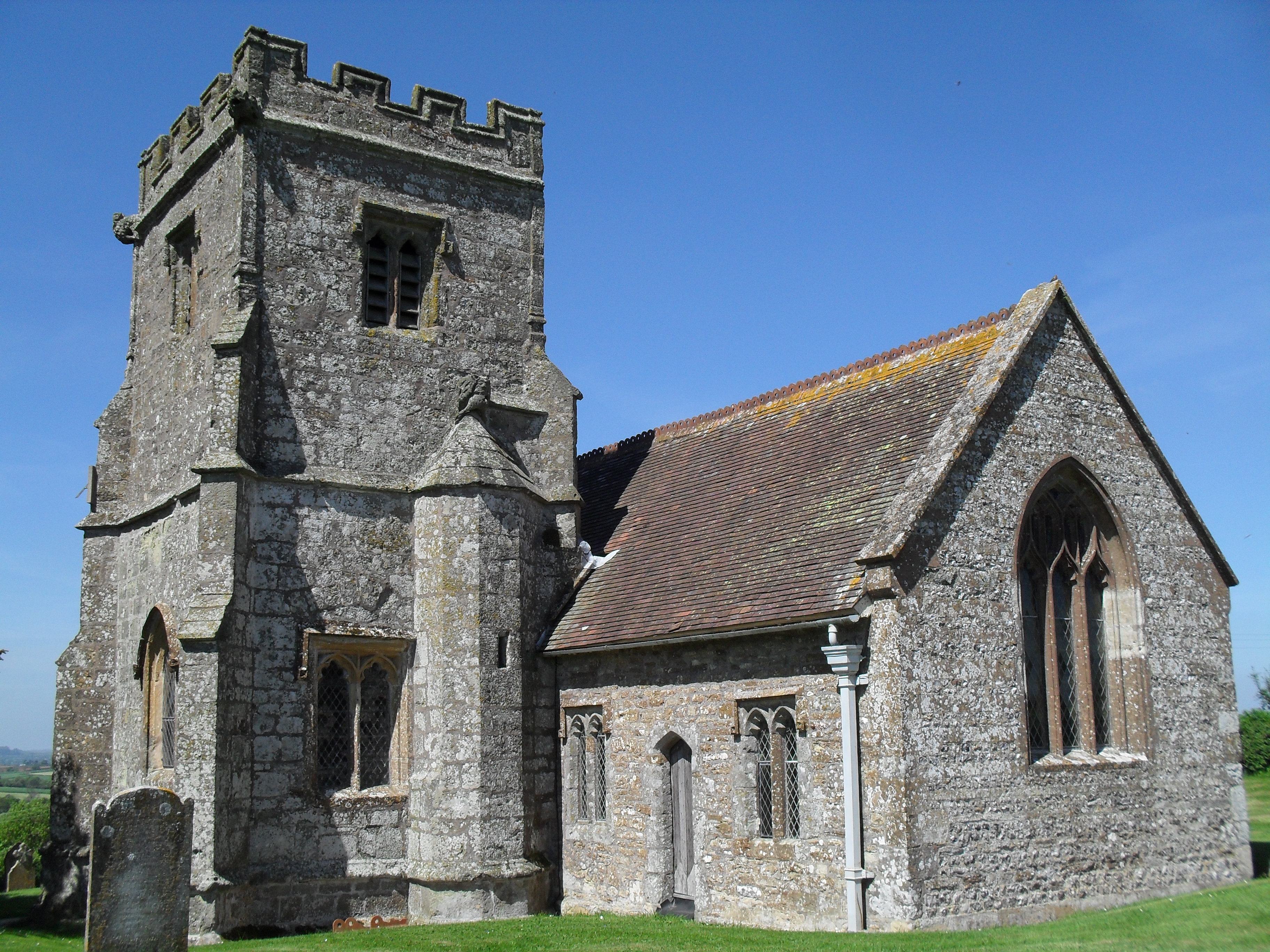
Church of St Eustace, Ibberton

The Parish Church of St Eustace is a Grade II* listed Anglican church in the village of Ibberton, Dorset. It stands to the south of the village, on a steep...

Ibberton

Ibberton is a village and civil parish in the county of Dorset in southern England. It is situated in the Blackmore Vale under the scarp face of the Dorset...

Bell Hill, Dorset

At 258 metres, Bell Hill is one of the highest hills in the county of Dorset, England and a high point on the Wessex Ridgeway. == Location == Bell Hill...

Belchalwell Street

Belchalwell Street is a village in Dorset, England, at the foot of Bell Hill, generally included in the village of Belchalwell. == External links == Belchalwell

Woolland

Woolland is a village and civil parish in north Dorset, England, situated in the Blackmore Vale under Bulbarrow Hill 7 miles (11 km) west of Blandford...

Ringmoor

The Ringmoor settlement is an Iron Age/Romano-British farming settlement in Dorset, England. It is between the villages of Okeford Fitzpaine and Turnworth...

Delcombe Manor

Delcombe Manor is a Grade II*-listed manor in Milton Abbas, Dorset, England. == History == The manor was built circa 1750 using flint and stone from Milton...

Belchalwell

Belchalwell is a small village and former civil parish, now in the parish of Okeford Fitzpaine in the Blackmore Vale, in the Dorset district, in the ceremonial...

Nearby Amenities

Located within 500m of 50.863542,-2.2933531
Parking
Lat/Long: 50.8625236/-2.2980652
Colour: gray
Design: portal
Line Attachment: suspension
Material: metal
Power: tower
Source: bing
Structure: lattice
Lat/Long: 50.8648255/-2.2875956
Colour: gray
Design: portal
Line Attachment: suspension
Material: metal
Power: tower
Source: bing
Structure: lattice
Lat/Long: 50.864991/-2.2977879
Colour: gray
Design: portal
Line Attachment: suspension
Material: metal
Power: tower
Source: bing
Structure: lattice
Lat/Long: 50.8651265/-2.2893179
Colour: gray
Design: portal
Line Attachment: suspension
Material: metal
Power: tower
Source: bing
Structure: lattice
Lat/Long: 50.8651508/-2.2962409
Colour: gray
Design: portal
Line Attachment: suspension
Material: metal
Power: tower
Source: bing
Structure: lattice
Lat/Long: 50.8654085/-2.293791
Colour: gray
Design: portal
Line Attachment: suspension
Material: metal
Power: tower
Source: bing
Structure: lattice
Lat/Long: 50.8656105/-2.2919816
Barrier: kissing_gate
Lat/Long: 50.8626173/-2.2984507
The data included in this document is from www.openstreetmap.org. The data is made available under ODbL.

Have you been to Aplin's Heath?

Leave your review of Aplin's Heath below (or comments, questions and feedback).