Hutton Mulgrave

Civil Parish in Yorkshire Scarborough

England

Hutton Mulgrave

Moorgate Farm The derelict Moorgate Farm.
Moorgate Farm Credit: T Eyre

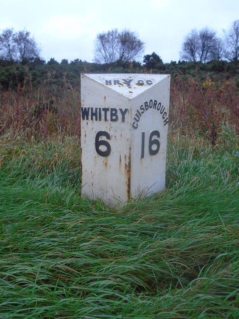
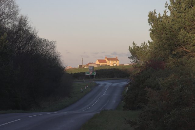
Hutton Mulgrave is a civil parish located in the county of Yorkshire, England. Situated approximately 6 miles southwest of Whitby, this small rural parish covers an area of around 5 square miles. It lies within the district of Scarborough and is part of the North Yorkshire region.

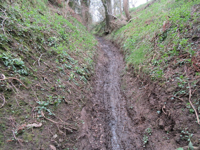
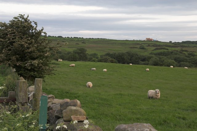
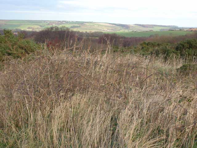
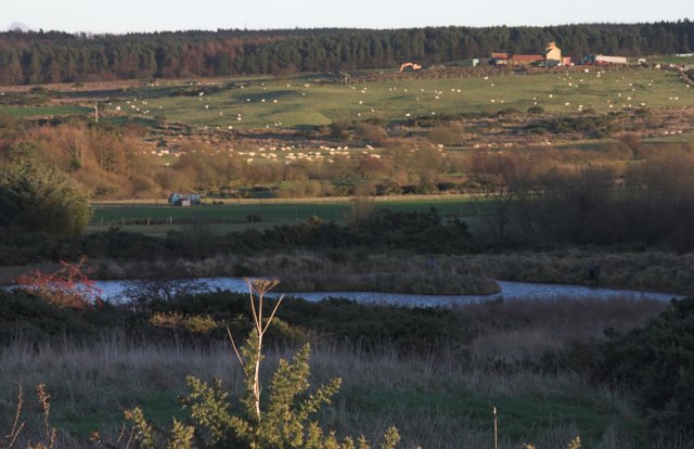
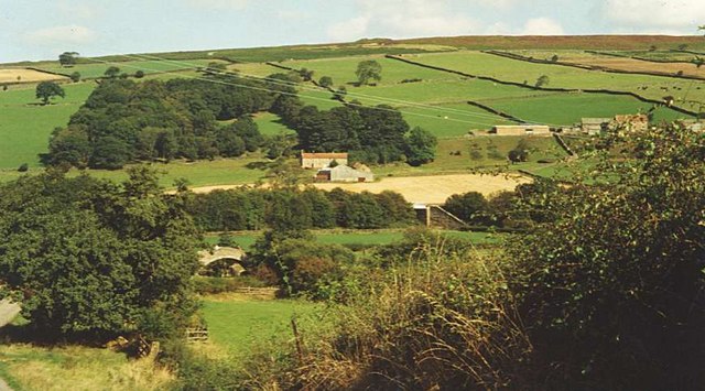
The parish is primarily known for its picturesque landscape, featuring rolling hills, lush farmland, and scattered woodlands. Hutton Mulgrave is surrounded by natural beauty, with the North York Moors National Park to its west and the North Sea coastline to its east.

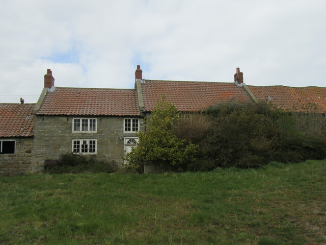
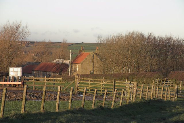
The village of Hutton Mulgrave itself is a small, tight-knit community with a population of around 200 residents. It is characterized by its charming stone-built houses and traditional architecture. The village also boasts a historic church, St. Matthew's, which dates back to the 13th century.

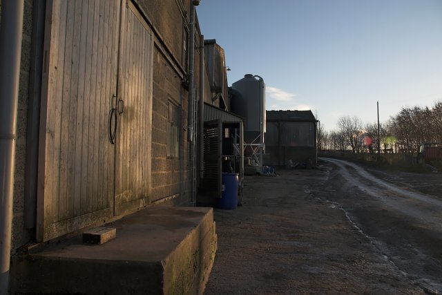
Despite its small size, Hutton Mulgrave offers a range of amenities for its residents, including a local pub and a village hall that hosts community events and activities. The parish is well-connected to nearby towns and villages, with good transport links and a regular bus service.

The area surrounding Hutton Mulgrave is popular with outdoor enthusiasts, offering numerous opportunities for walking, hiking, and cycling. The nearby North York Moors provide ample opportunities for exploring the stunning countryside, while the coastal town of Whitby is just a short drive away, offering further amenities and attractions.

If you have any feedback on the listing, please let us know in the comments section below.

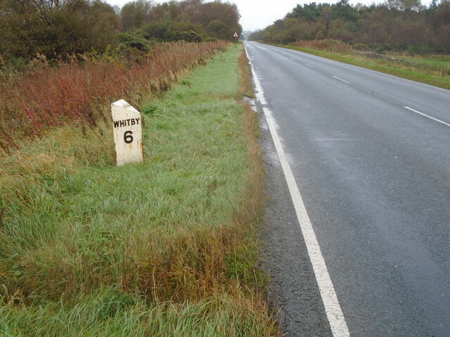
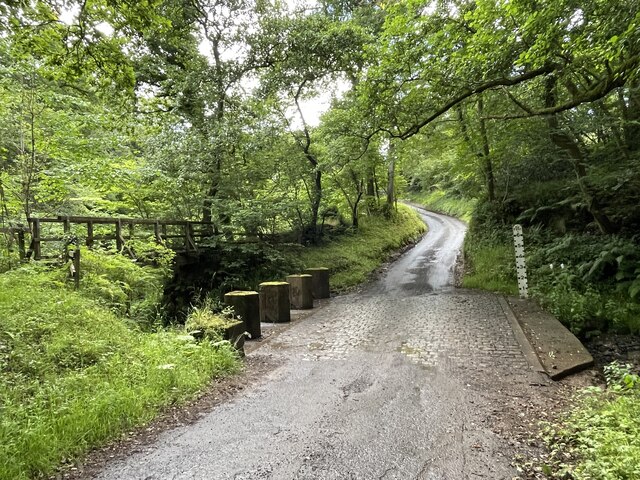
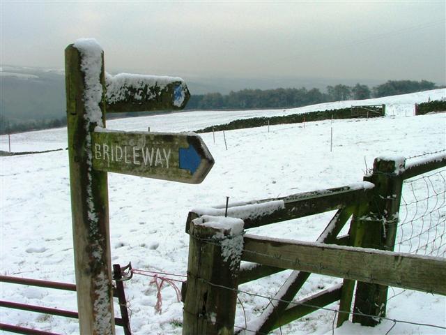
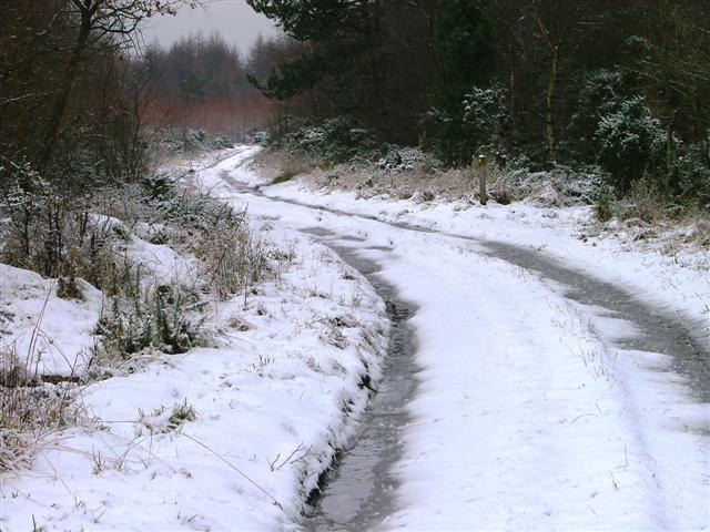
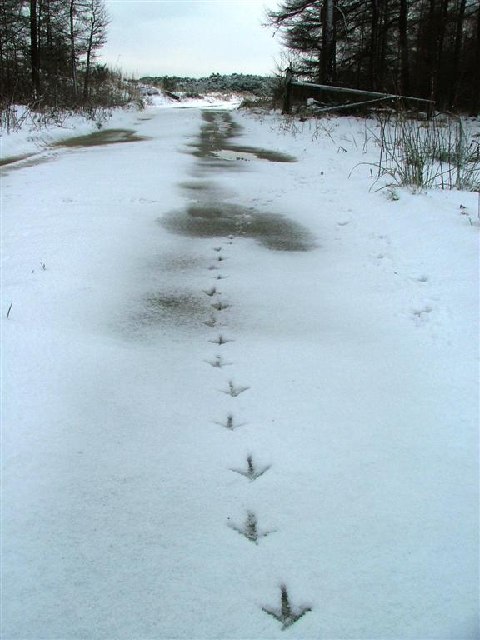
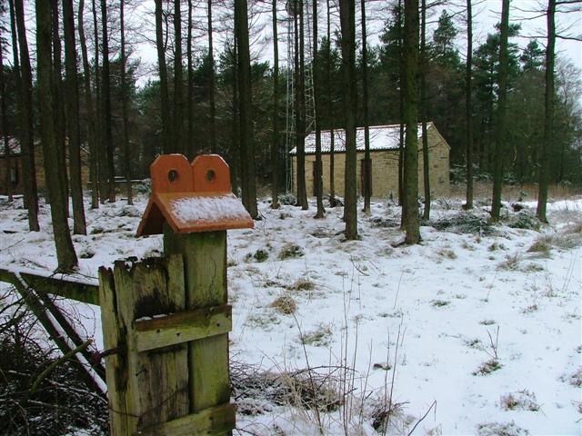
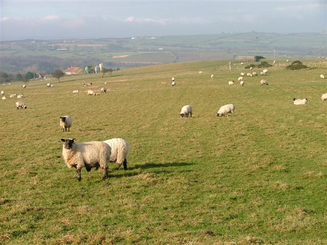
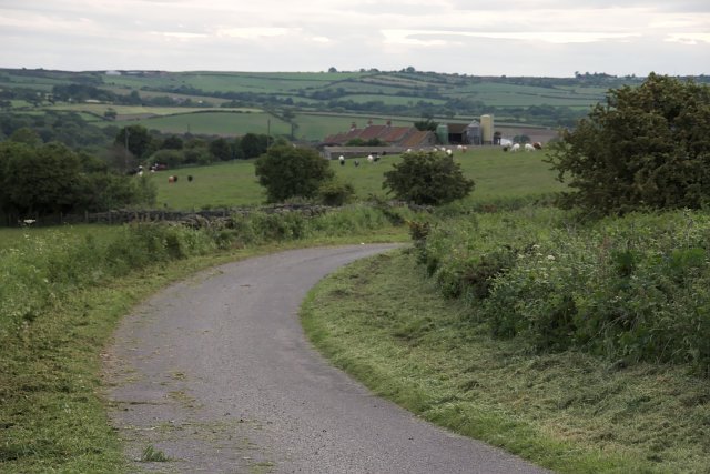
Hutton Mulgrave Images

Images are sourced within 2km of 54.475885/-0.730338 or Grid Reference NZ8209. Thanks to Geograph Open Source API. All images are credited.

Moorgate Farm The derelict Moorgate Farm.
Moorgate Farm
The derelict Moorgate Farm.
Kitter Lane Kitter Lane has been damaged by motorbikes, which should be banned from this route.
Kitter Lane
Kitter Lane has been damaged by motorbikes, which should be banned from this route.
Lady Cross Old waymarker stone by the A171.
Lady Cross
Old waymarker stone by the A171.
Old milepost This metal milepost is on the A171 west of the road junction sign for the minor road leading north to the A174.  It is one of the original F Mattison & Co. of Bedale castings.   Geograph photograph 6738866 was not taken by me in 2006 but by another Milestone Society member in 2002.   The mileposts on this route were repainted in 2004 by Cleveland Corrosion Control.
Old milepost
This metal milepost is on the A171 west of the road junction sign for the minor road leading north to the A174. It is one of the original F Mattison & Co. of Bedale castings. Geograph photograph 6738866 was not taken by me in 2006 but by another Milestone Society member in 2002. The mileposts on this route were repainted in 2004 by Cleveland Corrosion Control.
Old milepost Looking towards Whitby along the A171 the distance of the NRYCC milepost from  the road sign for the minor road northwards can be seen.
Old milepost
Looking towards Whitby along the A171 the distance of the NRYCC milepost from the road sign for the minor road northwards can be seen.
Ford at East Barnby This is another image of the ford at East Barnby. A photograph from a previous visit can be viewed at:
<a title="https://www.geograph.org.uk/photo/3805096" href="https://www.geograph.org.uk/photo/3805096">Link</a>
Ford at East Barnby
This is another image of the ford at East Barnby. A photograph from a previous visit can be viewed at: Link
Public Right of Way Sign, Moorcock
Hutton Mulgrave Wood View north west along the track used as a Public Bridleway with the Public Footpath to High Farm off to the right.
Hutton Mulgrave Wood
View north west along the track used as a Public Bridleway with the Public Footpath to High Farm off to the right.
Forest Track, Hutton Mulgrave Woods Looking south east towards Dunsley Moor just the other side of the gate.
Forest Track, Hutton Mulgrave Woods
Looking south east towards Dunsley Moor just the other side of the gate.
Wireless Station, Hutton Mulgrave Woods
Pasture Near Allerton Head Farm View west with Moorgate Farm in the distance.
Pasture Near Allerton Head Farm
View west with Moorgate Farm in the distance.
Moorgate Farm from the East
Grazing near Moorgate Farm In the distance is Eden House, quite close to the A171.
Grazing near Moorgate Farm
In the distance is Eden House, quite close to the A171.
Scrub at Ladycross
Scrub at Ladycross
Briscoe Farm A quite old farmhouse with very sizeable dairy herd accommodation below the house.
Briscoe Farm
A quite old farmhouse with very sizeable dairy herd accommodation below the house.
Briscoe Farm Here's the working part of the farm with access for large vehicles such as the milk tanker and bulk feed wagon.
Briscoe Farm
Here's the working part of the farm with access for large vehicles such as the milk tanker and bulk feed wagon.
Man-made pond 
Now well-established pond near Briscoe has been created as a home for wildfowl.
Man-made pond
Now well-established pond near Briscoe has been created as a home for wildfowl.
Egton - junction with A171 The house beyond, to the North of the main road, is Eden house.
Egton - junction with A171
The house beyond, to the North of the main road, is Eden house.
Show me another place!

Hutton Mulgrave is located at Grid Ref: NZ8209 (Lat: 54.475885, Lng: -0.730338)

Division: North Riding

Administrative County: North Yorkshire

District: Scarborough

Police Authority: North Yorkshire

What 3 Words

///opposites.cherish.minds. Near Sleights, North Yorkshire

Related Wikis

Hutton Mulgrave

Hutton Mulgrave is a village and civil parish in the Scarborough district of North Yorkshire, England. According to the 2001 UK census, Hutton Mulgrave...

Barnby, North Yorkshire

Barnby is a civil parish in the Scarborough district of North Yorkshire, England. According to the 2001 UK census, the parish had a population of 79....

Aislaby Quarry

Aislaby Quarry is a sandstone quarry in the village of Aislaby, near to Whitby in North Yorkshire, England. The quarry produces sandstone which has been...

Ugthorpe

Ugthorpe is a village and civil parish in the Scarborough borough, situated near Whitby, North Yorkshire, England. According to the 2011 UK census, Ugthorpe...

A171 road

The A171 is a road in England that links the North Yorkshire towns of Middlesbrough, Guisborough, Whitby, Robin Hood's Bay and Scarborough. Locally it...

Aislaby, Scarborough

Aislaby ( AYZ-əl-bi) is a village and civil parish in the Scarborough district of North Yorkshire, England. It is situated near the town of Whitby on the...

Eskdale, North Yorkshire

Eskdale is a valley running west to east from Westerdale on the North York Moors to Whitby on the Yorkshire Coast of England. Formed during the last major...

Egton

Egton is a village and civil parish in the Scarborough local administration district of North Yorkshire county, England, about 5 miles (8 km) west of Whitby...

Have you been to Hutton Mulgrave?

Leave your review of Hutton Mulgrave below (or comments, questions and feedback).