Hutton Magna

Civil Parish in Yorkshire

England

Hutton Magna

Roman Road (A66) Towards Brough.
Roman Road (A66) Credit: JThomas

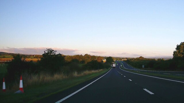
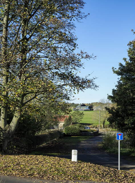
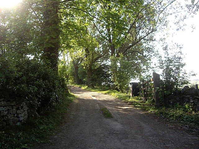
Hutton Magna is a small civil parish located in the Richmondshire district of North Yorkshire, England. Situated in the northern part of the county, it lies approximately 7 miles southwest of the market town of Barnard Castle. The village is nestled in a rural area, surrounded by picturesque countryside and rolling hills.

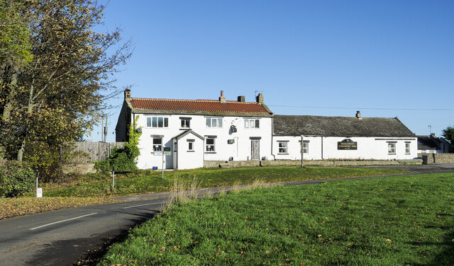
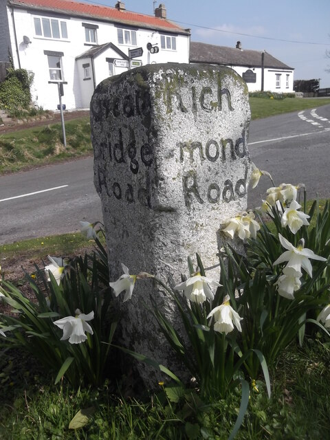
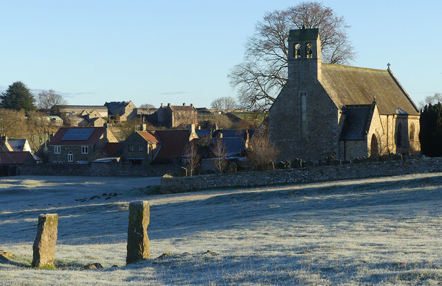
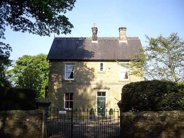
With a population of around 250 residents, Hutton Magna is a close-knit community that offers a peaceful and tranquil environment. The parish is characterized by its charming stone buildings, including the local church of St. Mary the Virgin, which dates back to the 12th century and is a prominent feature of the village.

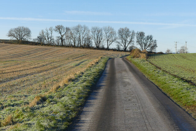
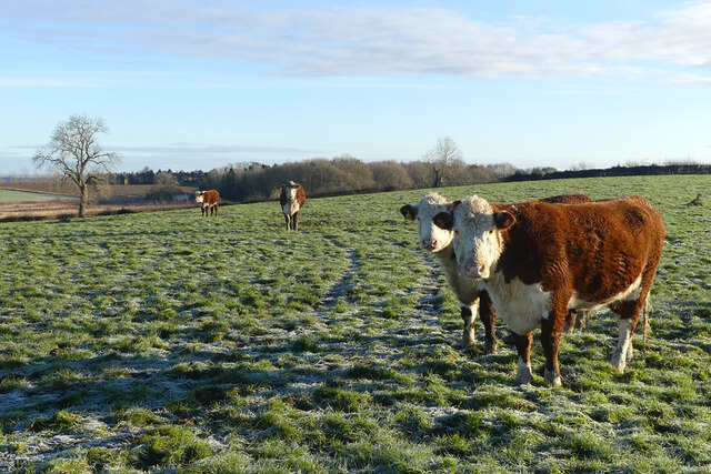
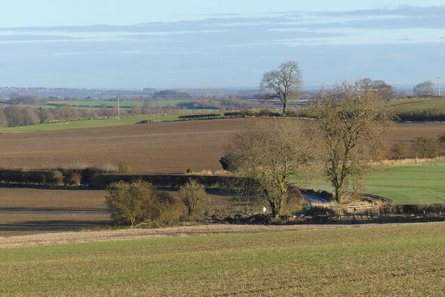
The economy of Hutton Magna primarily revolves around agriculture, with farming and livestock being the main sources of income for many residents. The village is known for its fertile land and is surrounded by numerous farms and agricultural fields.

Hutton Magna provides limited amenities, with a community hall serving as a central gathering point for social events and activities. The village also has a primary school that caters to the educational needs of local children.

The area around Hutton Magna offers a range of outdoor activities for residents and visitors alike. The nearby Pennine Way, a long-distance footpath, provides opportunities for hiking and exploring the beautiful countryside. Additionally, the village is within easy reach of the Yorkshire Dales National Park, offering further options for outdoor enthusiasts.

Overall, Hutton Magna is a charming and idyllic village that offers a peaceful rural lifestyle amidst the scenic beauty of North Yorkshire.

If you have any feedback on the listing, please let us know in the comments section below.
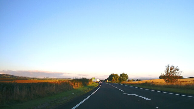
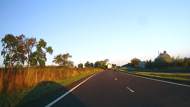
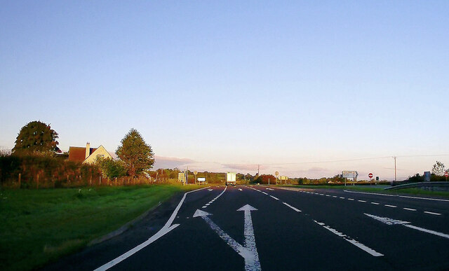
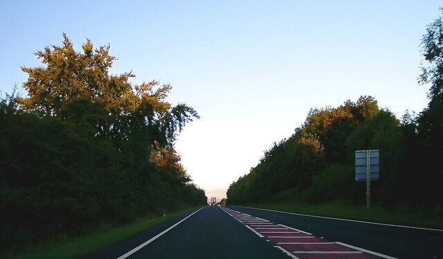
Hutton Magna Images

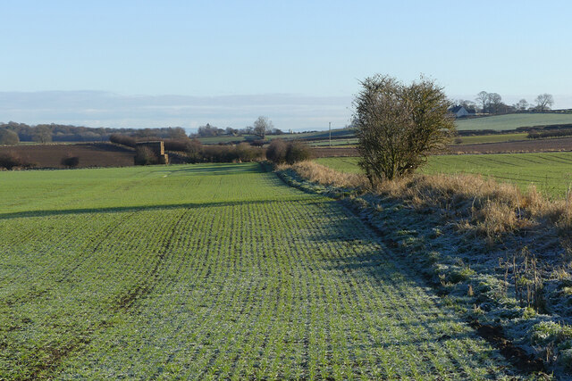
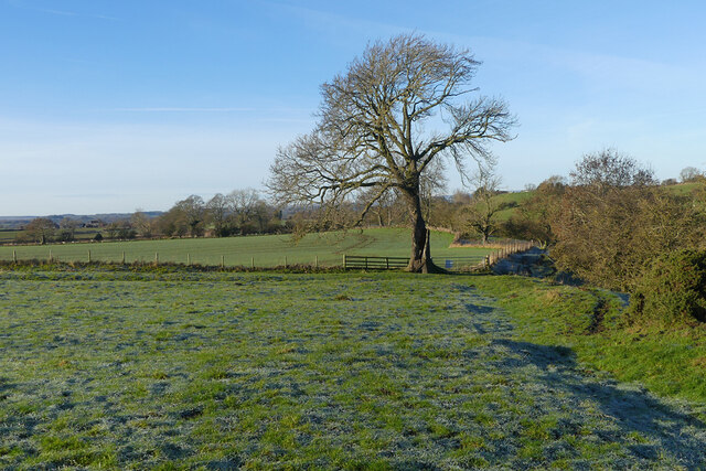
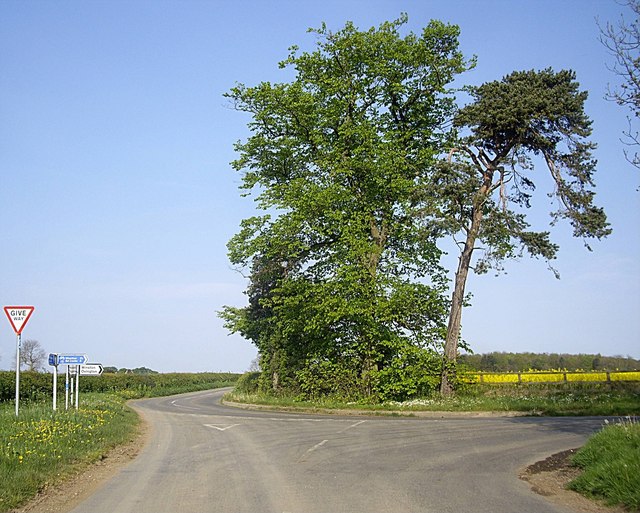
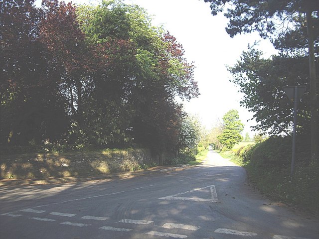
Images are sourced within 2km of 54.49966/-1.805162 or Grid Reference NZ1211. Thanks to Geograph Open Source API. All images are credited.

Roman Road (A66) Towards Brough.
Roman Road (A66)
Towards Brough.
A66 near Grove House Towards Brough.
A66 near Grove House
Towards Brough.
A66, Smallways Towards Brough.
A66, Smallways
Towards Brough.
A66 towards Brough
A66 towards Brough
A66, Stephen Bank Towards Brough.
A66, Stephen Bank
Towards Brough.
Road beyond guide stone The shadowed road is on the south side of a dualled stretch of the A66 and is probably part of an earlier alignment of that road. There's a motel at the location. The face of the white-painted stone in view reads 'East Catterick Road' .
Road beyond guide stone
The shadowed road is on the south side of a dualled stretch of the A66 and is probably part of an earlier alignment of that road. There's a motel at the location. The face of the white-painted stone in view reads 'East Catterick Road' .
Smallways Country Inn The inn, a motel, is just south of the A66 and it's possible that the road passing in front of it is part of an earlier alignment of that road.
Smallways Country Inn
The inn, a motel, is just south of the A66 and it's possible that the road passing in front of it is part of an earlier alignment of that road.
Old guidestone A view of the west and south faces of the guidestone at Smallways.   Was Greta Bridge once spelt Greata or was that how the mason in 1774 thought it was spelt.  Perhaps in his local dialect it was Gree-a-ta.
Old guidestone
A view of the west and south faces of the guidestone at Smallways. Was Greta Bridge once spelt Greata or was that how the mason in 1774 thought it was spelt. Perhaps in his local dialect it was Gree-a-ta.
Pasture and St Mary's church, Hutton Magna This field contains many earthworks suggestive of former habitation.  West Middleton is seen in the background beyond some of the village's houses.
Pasture and St Mary's church, Hutton Magna
This field contains many earthworks suggestive of former habitation. West Middleton is seen in the background beyond some of the village's houses.
Road and farmland, Hutton Magna The unfenced road approaching Lane Head from Hutton Fields between arable fields.
Road and farmland, Hutton Magna
The unfenced road approaching Lane Head from Hutton Fields between arable fields.
Pasture, Hutton Magna Docile cattle in a field crossed by a bridleway to the south of Hutton Fields.
Pasture, Hutton Magna
Docile cattle in a field crossed by a bridleway to the south of Hutton Fields.
Farmland, West Layton Collier Lane is seen from the footpath south of White House Farm.
Farmland, West Layton
Collier Lane is seen from the footpath south of White House Farm.
Farmland, West Layton Arable land beside the footpath north of White House Farm.
Farmland, West Layton
Arable land beside the footpath north of White House Farm.
Farmland, Hutton Magna Pasture and arable land beside a footpath to the east of the village.
Farmland, Hutton Magna
Pasture and arable land beside a footpath to the east of the village.
Bartle Gate junction Approached from Little Hutton Lane.
Bartle Gate junction
Approached from Little Hutton Lane.
Quarry junction, Hutton Magna
The Vicarage, Hutton Magna
Access lane to West Middleton
Show me another place!

Hutton Magna is located at Grid Ref: NZ1211 (Lat: 54.49966, Lng: -1.805162)

Division: North Riding

Unitary Authority: County Durham

Police Authority: Durham

What 3 Words

///sketching.situation.presumes. Near Hutton Magna, Co. Durham

Nearby Locations

Lane Head Hutton Magna

Related Wikis

Hutton Magna

Hutton Magna is a village and civil parish in County Durham, England. Situated 7.6 miles (12.2 km) southeast of Barnard Castle. Lying within the historic...

West Layton

West Layton is a village and civil parish in the Richmondshire district of North Yorkshire, England, close to the border with County Durham and a few miles...

Newsham, Richmondshire

Newsham is a village and civil parish in the Richmondshire district of North Yorkshire, England. The village is 8 miles (13 km) north west of Richmond...

Wycliffe, County Durham

Wycliffe is a village on the south bank of the River Tees in the North East of England, situated a short distance to the east of Barnard Castle. Wycliffe...

Nearby Amenities

Located within 500m of 54.49966,-1.805162
Bus Stop
Bus stop
Naptan AtcoCode: 13007121A
Naptan Bearing: N
Naptan CommonName: Bus stop
Naptan Indicator: north bound
Naptan Landmark: Landmark not known
Naptan NaptanCode: durdwdpa
Naptan Notes: North West of Lanehead Cottage- Hutton Magna
Naptan Street: Street not known
Naptan Verified: no
Source: naptan_import
Lat/Long: 54.5006114/-1.8086182
Bus Stop
Bus stop
Naptan AtcoCode: 13007121E
Naptan Bearing: S
Naptan CommonName: Bus stop
Naptan Indicator: south bound
Naptan Landmark: Landmark not known
Naptan NaptanCode: durdwdpd
Naptan Notes: North West of Lanehead Cottage- Hutton Magna
Naptan Street: Street not known
Naptan Verified: no
Source: naptan_import
Lat/Long: 54.5006112/-1.8085256
Lane Head
Place: locality
Lat/Long: 54.5001475/-1.8068902
The data included in this document is from www.openstreetmap.org. The data is made available under ODbL.

Have you been to Hutton Magna?

Leave your review of Hutton Magna below (or comments, questions and feedback).