Hutton Henry

Civil Parish in Durham

England

Hutton Henry

Hurworth Burn Reservoir The northeastern corner of the reservoir, pictured, is separated from the rest  by the embankment of the former Castle Eden Railway, now part of National Cycle Route 1.
Hurworth Burn Reservoir Credit: David Robinson

Hutton Henry is a civil parish located in the county of Durham, England. Situated approximately 4 miles east of Peterlee and 12 miles northeast of Durham city, it is a small rural community with a population of around 1,100 people.

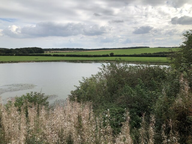
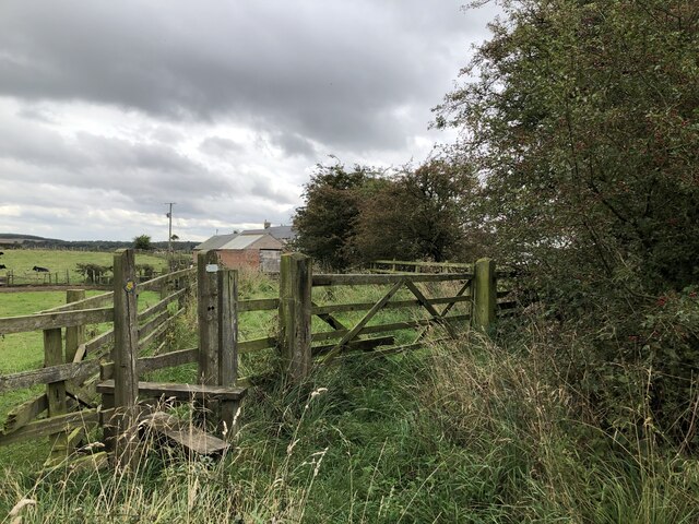
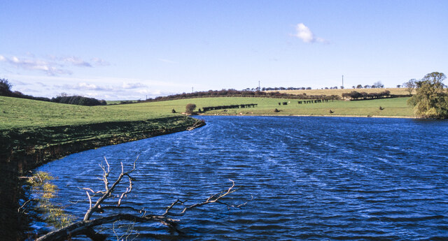
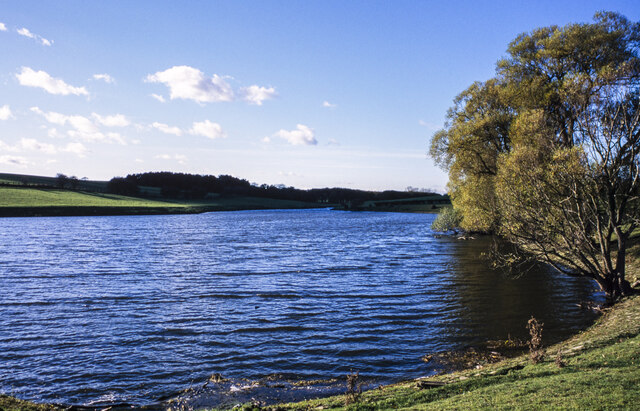
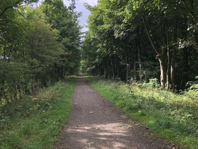
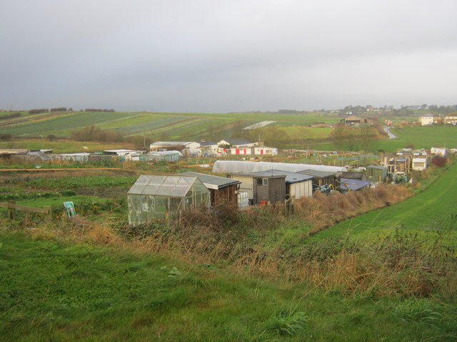
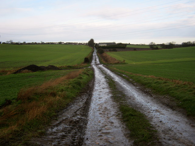
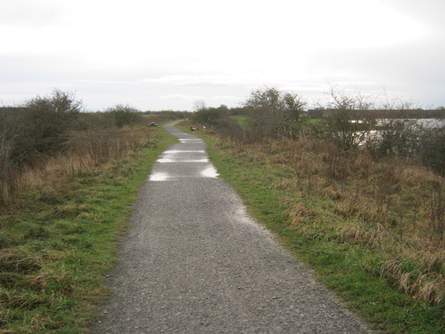
The parish is known for its picturesque countryside, consisting of rolling hills, farmland, and patches of woodland. It is surrounded by several other villages, including Wingate to the north and Castle Eden to the south.

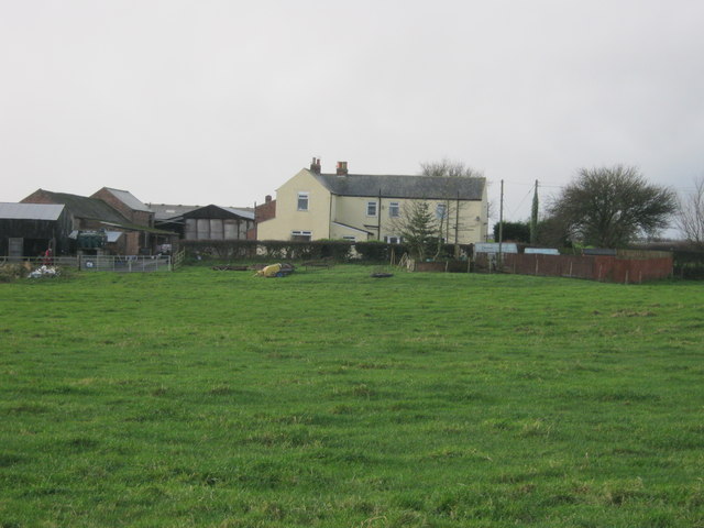
Hutton Henry itself is predominantly residential, with a mix of traditional and modern housing. The village has a close-knit community, with a village hall serving as a hub for various social events and activities. There is also a primary school, providing education for children in the local area.

While Hutton Henry is primarily a residential area, there are some amenities available to residents. These include a post office, a convenience store, and a pub, offering basic services and a sense of community.

The village is well-connected to nearby towns and cities by road, with the A19 and A181 providing easy access to the wider region. Public transportation options are limited, but there are regular bus services that connect Hutton Henry to neighboring areas.

Overall, Hutton Henry is a quiet and rural parish, offering a peaceful and idyllic setting for its residents.

If you have any feedback on the listing, please let us know in the comments section below.
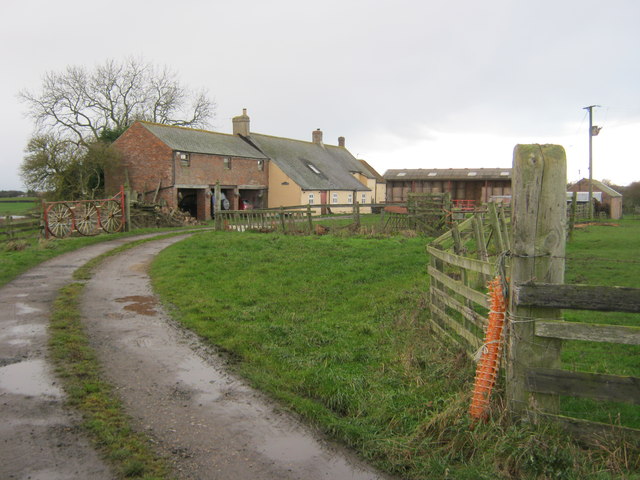
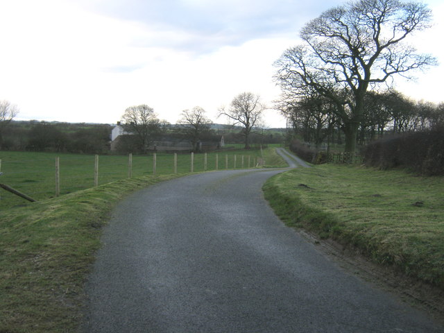
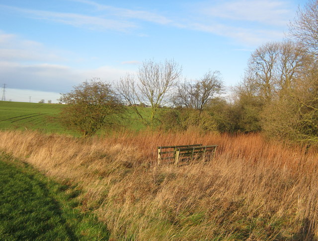
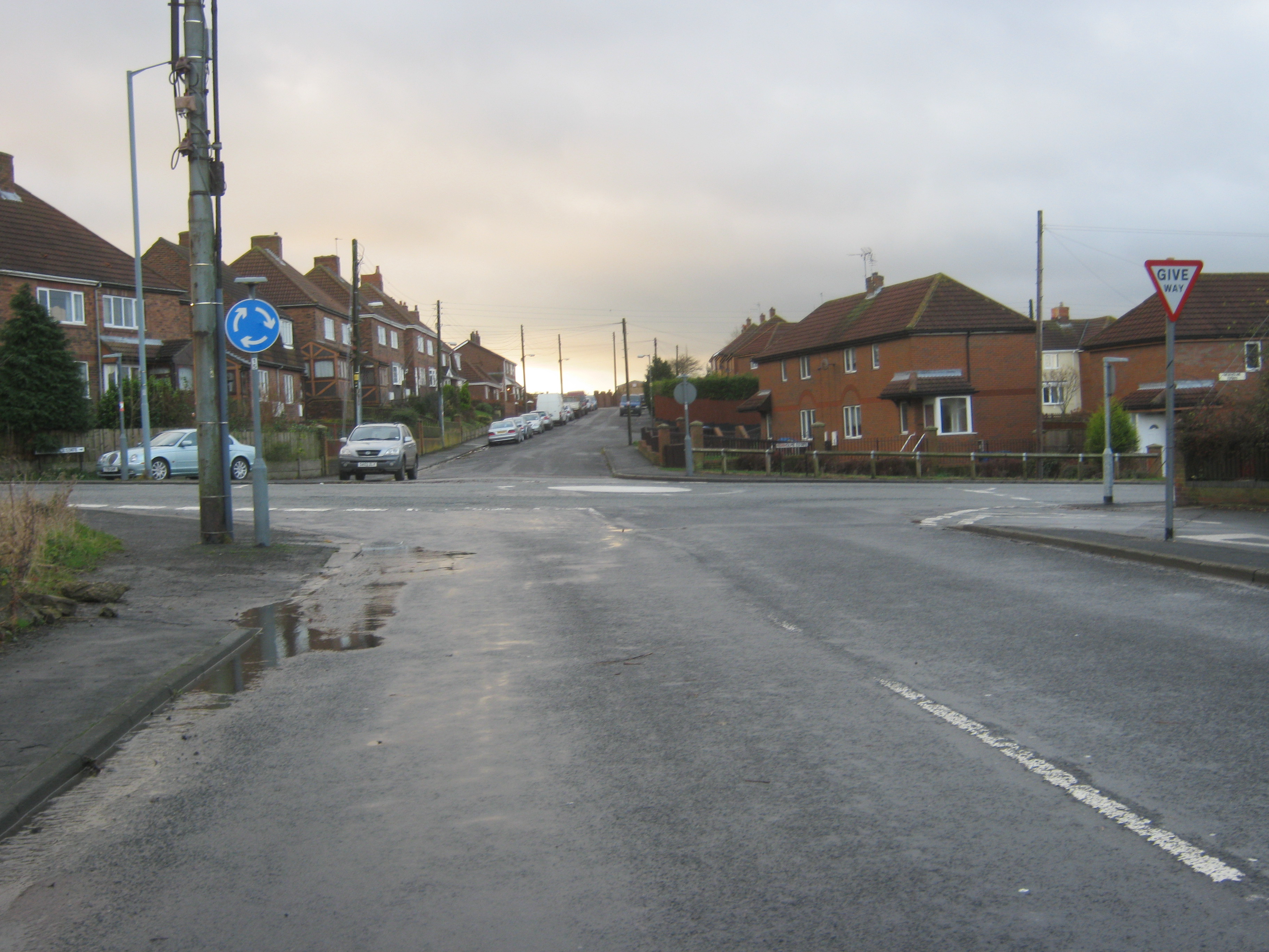
Hutton Henry Images

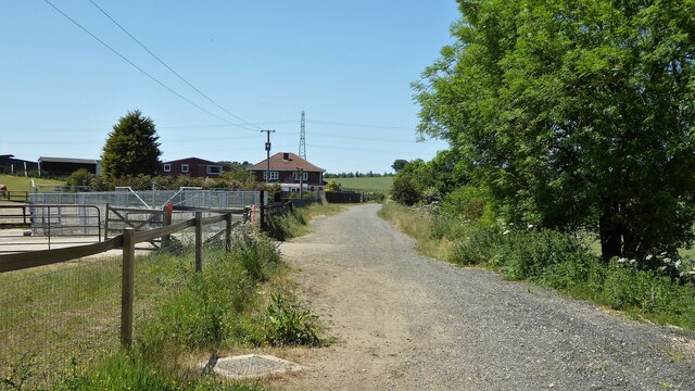
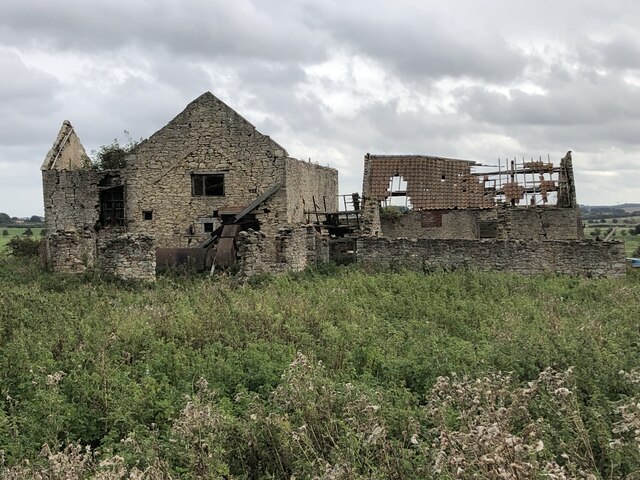
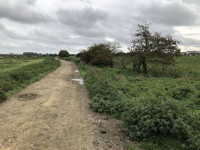
Images are sourced within 2km of 54.714379/-1.368259 or Grid Reference NZ4035. Thanks to Geograph Open Source API. All images are credited.

Hurworth Burn Reservoir The northeastern corner of the reservoir, pictured, is separated from the rest  by the embankment of the former Castle Eden Railway, now part of National Cycle Route 1.
Hurworth Burn Reservoir
The northeastern corner of the reservoir, pictured, is separated from the rest by the embankment of the former Castle Eden Railway, now part of National Cycle Route 1.
Castle Eden Walkway Passing Under Minor Road
Station Road, Station Town
Gallops Near Station Town
Path To Black Hurworth
Cycle path following route of former railway Approaching Headshope cottages the site of Castle Eden junction on the Hart to Haswell route
Cycle path following route of former railway
Approaching Headshope cottages the site of Castle Eden junction on the Hart to Haswell route
South shore of Hurworth Reservoir The south shore of the western arm of the reservoir viewed from near to a bridge carrying a public footpath over the water. The reservoir is a well-known birdwatching location.
South shore of Hurworth Reservoir
The south shore of the western arm of the reservoir viewed from near to a bridge carrying a public footpath over the water. The reservoir is a well-known birdwatching location.
Towards western end of Hurworth Reservoir The western end of the reservoir where the River Skerne and the Hurworth Burn enter.
Towards western end of Hurworth Reservoir
The western end of the reservoir where the River Skerne and the Hurworth Burn enter.
Cycle Path On Former Railway A stretch of the former railway linking Ferryhill with Hartlepool. Built as an extension of the Hartlepool Dock & Railway to link with the Great North of England Railway and the Clarence Railway it was given the grand title of Great North Of England, Clarence & Hartlepool Junction Railway. The short section from Station Town to Trimdon Colliery is now a cycle route.
Cycle Path On Former Railway
A stretch of the former railway linking Ferryhill with Hartlepool. Built as an extension of the Hartlepool Dock & Railway to link with the Great North of England Railway and the Clarence Railway it was given the grand title of Great North Of England, Clarence & Hartlepool Junction Railway. The short section from Station Town to Trimdon Colliery is now a cycle route.
Ruined Farm Buildings Old farm ruin including outbuildings with machinery, near the current Hurworth Bryan farm.
Ruined Farm Buildings
Old farm ruin including outbuildings with machinery, near the current Hurworth Bryan farm.
Track To White Hurworth
Allotment gardens at Hutton Henry
Footpath south of Hutton Henry
Wood Close Farm
Wood Close Farm
Castle Eden Walkway alongside Hurworth Burn Reservoir
Black Hurworth Farm
Black Hurworth Farm
Drive to Hart Bushes Hall
Footbridge over unnamed watercourse at South Wingate
Show me another place!

Hutton Henry is located at Grid Ref: NZ4035 (Lat: 54.714379, Lng: -1.368259)

Unitary Authority: County Durham

Police Authority: Durham

What 3 Words

///sprinting.hobbies.broad. Near Wingate, Co. Durham

Nearby Locations

Hutton Henry Carstead Wood

Related Wikis

Station Town

Station Town is a village in the civil parish of Hutton Henry and Station Town, in County Durham, England. It is situated to the south of Wingate, west...

Hutton Henry

Hutton Henry is a village in the civil parish of Hutton Henry and Station Town, in County Durham, England, near Peterlee, Castle Eden and Wingate. The...

Wellfield School

Wellfield School is a coeducational secondary school located in Wingate, County Durham, England. == History == The original school was opened by Councillor...

Pike Whin Bog

Pike Whin Bog is a Site of Special Scientific Interest in the Easington district of east County Durham, England. It is situated just east of Hurworth Burn...

Nearby Amenities

Located within 500m of 54.714379,-1.368259
Bus Stop
Newholme Estate
Naptan AtcoCode: 13003119D
Naptan Bearing: SE
Naptan BusStopType: MKD
Naptan CommonName: Newholme Estate
Naptan Indicator: SE-bound
Naptan NaptanCode: durapdat
Naptan RevisionNumber: 4
Naptan Street: Milbank Terrace
Naptan Verified: no
Old Name: Corner House
Source: naptan_import
Lat/Long: 54.7181229/-1.3686181
Bus Stop
Newholme Estate
Naptan AtcoCode: 13003119H
Naptan Bearing: NW
Naptan BusStopType: MKD
Naptan CommonName: Newholme Estate
Naptan Indicator: NW-bound
Naptan NaptanCode: durapdaw
Naptan RevisionNumber: 4
Naptan Street: Milbank Terrace
Naptan Verified: no
Old Name: Corner House
Public Transport: platform
Source: naptan_import
Lat/Long: 54.7185586/-1.3691806
Bus Stop
Heaton Terrace
Naptan AtcoCode: 13003120C
Naptan Bearing: E
Naptan CommonName: Heaton Terrace
Naptan Indicator: east bound
Naptan Landmark: Landmark not known
Naptan NaptanCode: durapdga
Naptan Notes: Heaton Terrace- Hutton Henry
Naptan Street: Unclassified road to Hutton Henry
Naptan Verified: no
Source: naptan_import
Lat/Long: 54.7180848/-1.3647687
Bus Stop
Heaton Terrace
Naptan AtcoCode: 13003120G
Naptan Bearing: W
Naptan CommonName: Heaton Terrace
Naptan Indicator: west bound
Naptan Landmark: Landmark not known
Naptan NaptanCode: durapdgd
Naptan Notes: heaton terrace- Hutton Henry
Naptan Street: Unclassified road to Hutton Henry
Naptan Verified: no
Source: naptan_import
Lat/Long: 54.7179924/-1.3659965
Bus Stop
Road End
Naptan AtcoCode: 13003432C
Naptan Bearing: W
Naptan CommonName: Road End
Naptan Indicator: west bound
Naptan Landmark: Landmark not known
Naptan NaptanCode: duratajd
Naptan Notes: Hutton Henry- between Bridgefield Farm and crossroad of B1280
Naptan Street: Unclassified Road
Naptan Verified: no
Public Transport: platform
Source: naptan_import
Lat/Long: 54.7130989/-1.366849
Bus Stop
Road End
Naptan AtcoCode: 13003432G
Naptan Bearing: E
Naptan CommonName: Road End
Naptan Indicator: east bound
Naptan Landmark: Landmark not known
Naptan NaptanCode: duratajg
Naptan Notes: Hutton Henry- between Bridgefield Farm and crossroad of B1280
Naptan Street: Unclassified Road
Naptan Verified: no
Public Transport: platform
Source: naptan_import
Lat/Long: 54.7130906/-1.3674453
Mini Roundabout
Direction: clockwise
Lat/Long: 54.717824/-1.368463
Bus: yes
Public Transport: stop_position
Lat/Long: 54.71306/-1.3668698
Bus: yes
Public Transport: stop_position
Lat/Long: 54.7131374/-1.3674183
Bus: yes
Public Transport: stop_position
Lat/Long: 54.718624/-1.3691198
Barrier: bollard
Bicycle: yes
Foot: yes
Lat/Long: 54.7183354/-1.3699088
Power: pole
Lat/Long: 54.7186399/-1.3665989
The data included in this document is from www.openstreetmap.org. The data is made available under ODbL.

Have you been to Hutton Henry?

Leave your review of Hutton Henry below (or comments, questions and feedback).