Andrew Howe
Heritage Site in Yorkshire Scarborough
England
Andrew Howe
Andrew Howe is a historic site located in the picturesque county of Yorkshire, England. Situated in the heart of the Yorkshire Dales National Park, this heritage site offers visitors a glimpse into the region's rich history and breathtaking natural beauty.
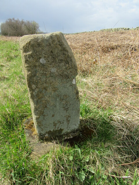
The site itself is an ancient stone circle dating back to the Neolithic period, making it one of the oldest structures in the area. Comprising of approximately 30 stones, Andrew Howe is believed to have served as a ceremonial and religious site for the local inhabitants thousands of years ago.
The stones at Andrew Howe are of various sizes and shapes, with the tallest reaching up to 2 meters in height. The arrangement of the stones suggests a deliberate placement, possibly aligning with celestial events or serving as markers for seasonal changes. Archaeologists have also discovered remnants of pottery and tools in the vicinity, hinting at the site's significance in the daily lives of its ancient inhabitants.
Today, Andrew Howe attracts both history enthusiasts and nature lovers alike. Visitors can explore the site at their own pace, taking in the tranquil surroundings and marveling at the ancient stones. The site offers stunning views of the surrounding countryside, with rolling hills and lush greenery stretching as far as the eye can see.
Guided tours are available for those seeking a deeper understanding of the site's historical and cultural significance. The knowledgeable guides provide insights into the rituals and ceremonies that may have taken place at Andrew Howe, as well as the broader context of Neolithic life in Yorkshire.
Overall, Andrew Howe is a captivating heritage site that offers visitors a chance to step back in time and connect with the ancient history of Yorkshire.
If you have any feedback on the listing, please let us know in the comments section below.
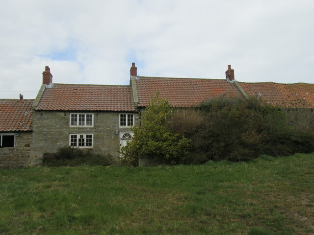
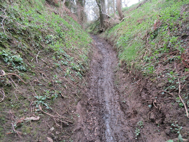
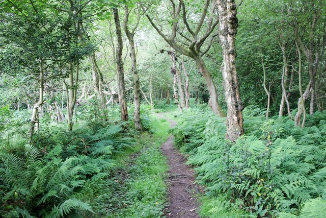
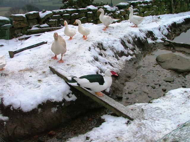
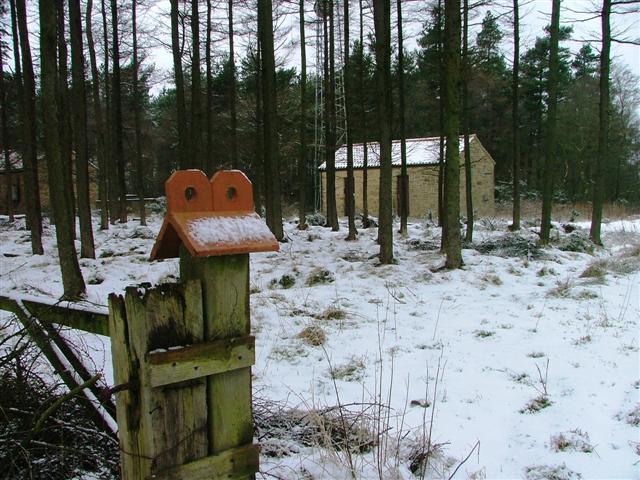
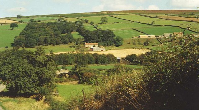
Andrew Howe Images
Images are sourced within 2km of 54.473/-0.727 or Grid Reference NZ8209. Thanks to Geograph Open Source API. All images are credited.
Andrew Howe is located at Grid Ref: NZ8209 (Lat: 54.473, Lng: -0.727)
Division: North Riding
Administrative County: North Yorkshire
District: Scarborough
Police Authority: North Yorkshire
What 3 Words
///buyers.exhaling.polar. Near Sleights, North Yorkshire
Nearby Locations
Related Wikis

Hutton Mulgrave
Hutton Mulgrave is a village and civil parish in the Scarborough district of North Yorkshire, England. According to the 2001 UK census, Hutton Mulgrave...

Aislaby Quarry
Aislaby Quarry is a sandstone quarry in the village of Aislaby, near to Whitby in North Yorkshire, England. The quarry produces sandstone which has been...

Barnby, North Yorkshire
Barnby is a civil parish in the Scarborough district of North Yorkshire, England. According to the 2001 UK census, the parish had a population of 79....

A171 road
The A171 is a road in England that links the North Yorkshire towns of Middlesbrough, Guisborough, Whitby, Robin Hood's Bay and Scarborough. Locally it...

Ugthorpe
Ugthorpe is a village and civil parish in the Scarborough borough, situated near Whitby, North Yorkshire, England. According to the 2011 UK census, Ugthorpe...

Aislaby, Scarborough
Aislaby ( AYZ-əl-bi) is a village and civil parish in the Scarborough district of North Yorkshire, England. It is situated near the town of Whitby on the...

Egton
Egton is a village and civil parish in the Scarborough local administration district of North Yorkshire county, England, about 5 miles (8 km) west of Whitby...
Eskdale, North Yorkshire
Eskdale is a valley running west to east from Westerdale on the North York Moors to Whitby on the Yorkshire Coast of England. Formed during the last major...
Related Videos

Hutton Mulgrave Woods & Mulgrave Woods, North York Moors - 8 January 2023
A 6.85 mile walk from the A171, the route first heads north into Hutton Mulgrave Woods before exiting the woods and then ...

Lythe & Mulgrave Castle, North York Moors - 28 September 2020
A 7.5 mile walk from Lythe just outside of Sandsend (near Whitby) The route initially heads north towards the coast where it joins ...

Ugthorpe & Mulgrave Woods, North York Moors - 17 October 2021
An11 mile walk from Ugthorpe. The route heads east towards Mulgrave Woods. Walking through the woods the route first passes ...

Mulgrave Castle (Sandsend)
Lovely walk in Mulgrave Woods in search of the elusive Mulgrave Castle.
Have you been to Andrew Howe?
Leave your review of Andrew Howe below (or comments, questions and feedback).