Hutton Roof
Civil Parish in Westmorland South Lakeland
England
Hutton Roof

The requested URL returned error: 429 Too Many Requests
If you have any feedback on the listing, please let us know in the comments section below.
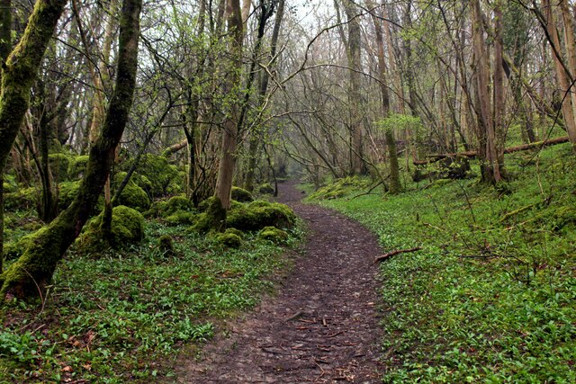
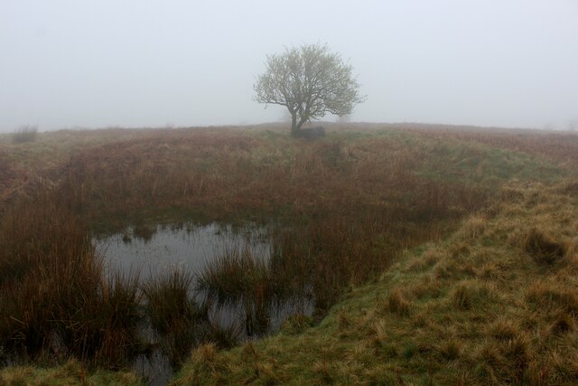
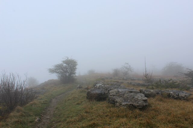
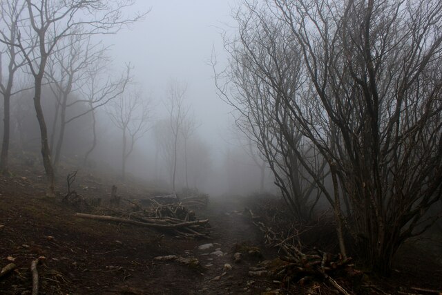
Hutton Roof Images
Images are sourced within 2km of 54.199765/-2.668254 or Grid Reference SD5678. Thanks to Geograph Open Source API. All images are credited.


Hutton Roof is located at Grid Ref: SD5678 (Lat: 54.199765, Lng: -2.668254)
Administrative County: Cumbria
District: South Lakeland
Police Authority: Cumbria
What 3 Words
///raced.flattens.envy. Near Kirkby Lonsdale, Cumbria
Nearby Locations
Related Wikis

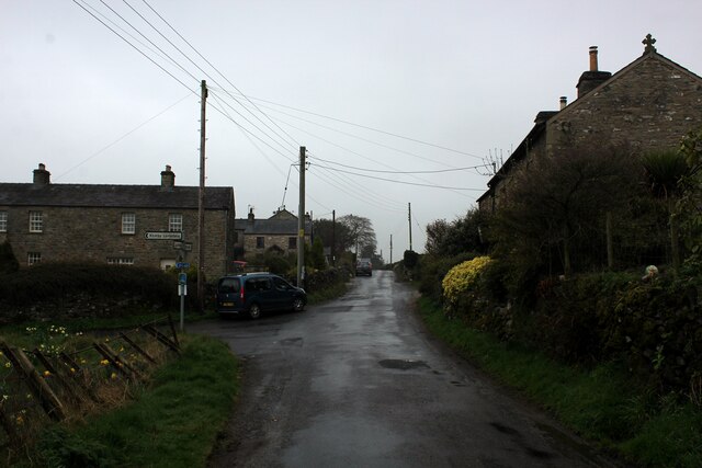
Hutton Roof, South Lakeland
Hutton Roof is a village and civil parish in the South Lakeland district of Cumbria, England, close to Kirkby Lonsdale and Hutton Roof Crags. Historically...
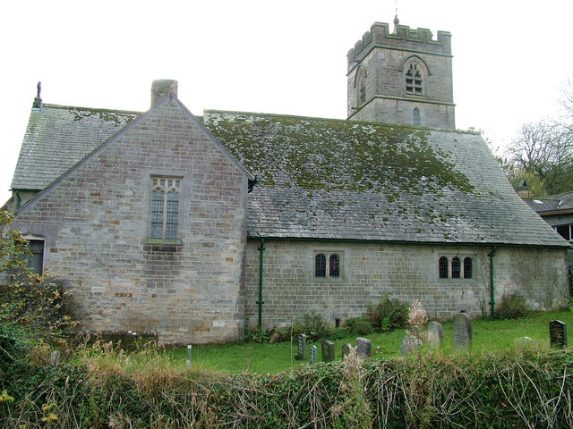
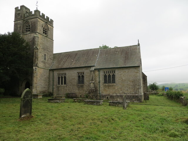
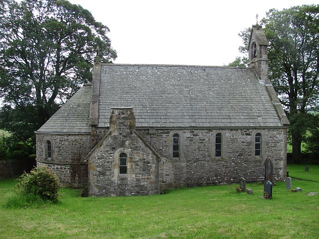
St John's Church, Hutton Roof
St John's Church is in the village of Hutton Roof, Cumbria, England. It is an active Anglican parish church in the deanery of Kendal, the archdeaconry...
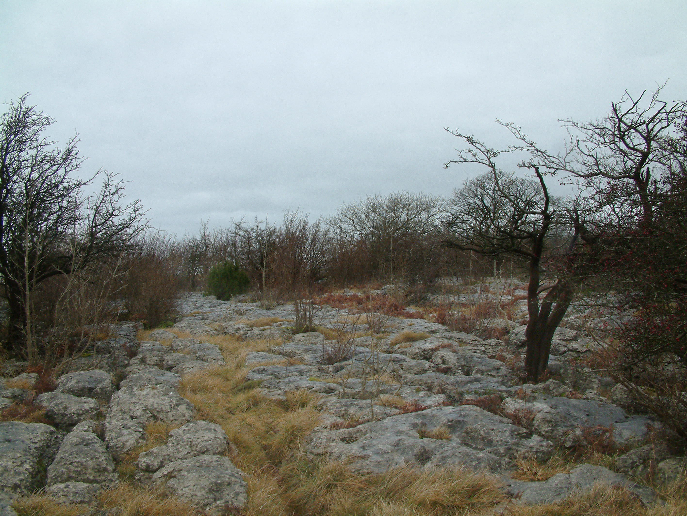
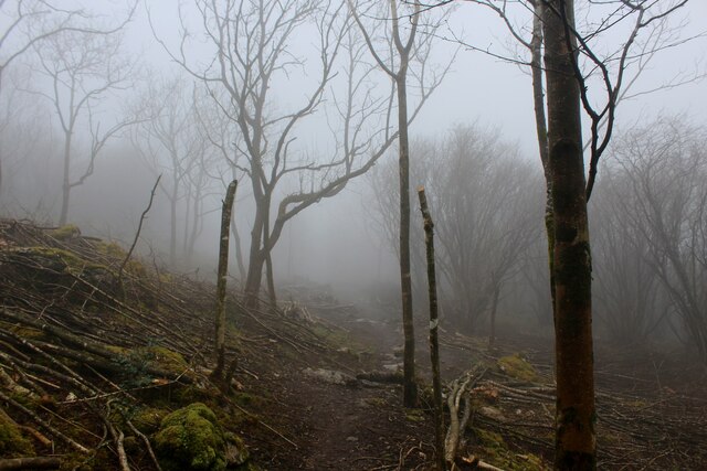
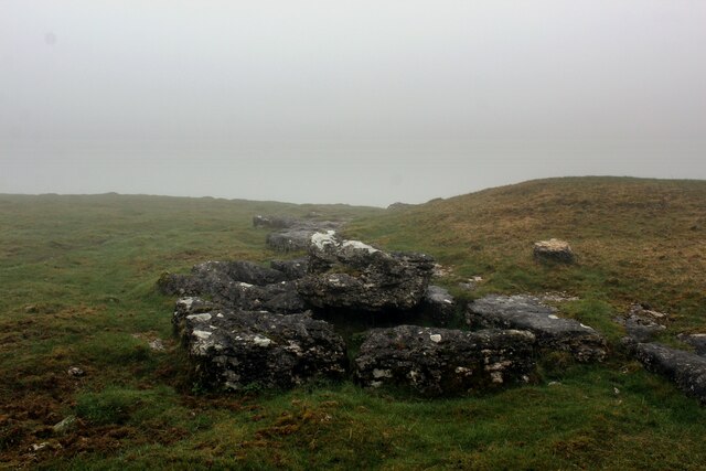
Hutton Roof Crags
Hutton Roof Crags is a hill in southeastern Cumbria in northwest England, located near to the village of Hutton Roof. It has extensive areas of limestone...
All Saints Church, Lupton
All Saints Church is in the village of Lupton, Cumbria, England. It is an active Anglican parish church in the deanery of Kendal, the archdeaconry of...
Nearby Amenities
Located within 500m of 54.199765,-2.668254Have you been to Hutton Roof?
Leave your review of Hutton Roof below (or comments, questions and feedback).