Birkber Head
Landscape Feature in Westmorland South Lakeland
England
Birkber Head
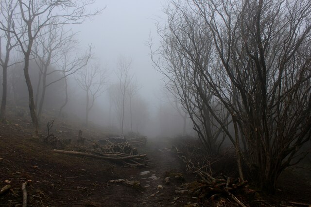
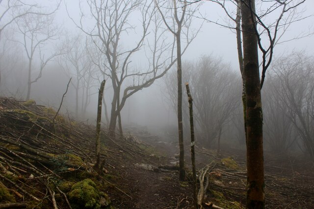
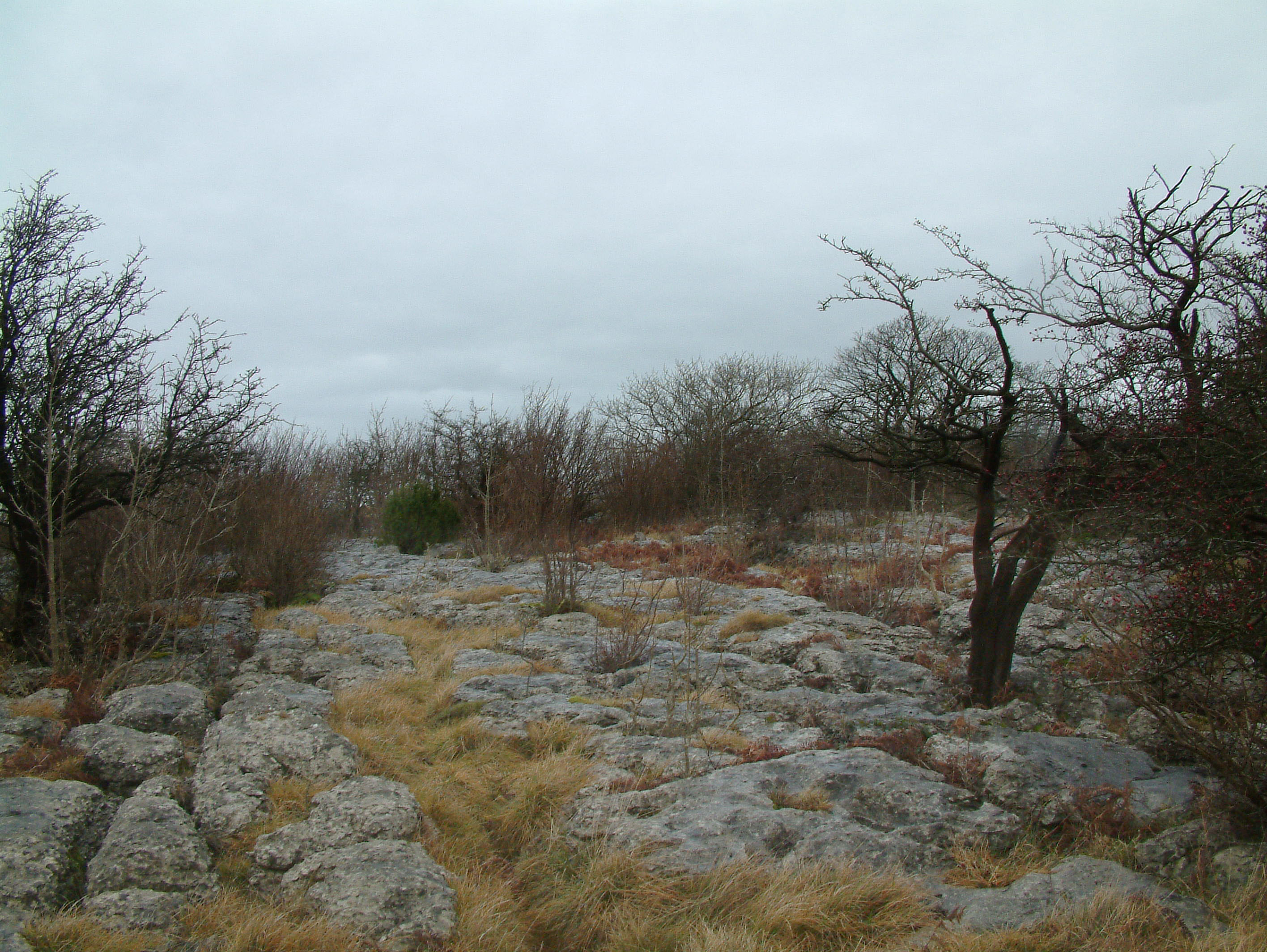
Birkber Head is a prominent landscape feature located in the county of Westmorland, England. Situated in the Lake District National Park, it is a picturesque and rugged hill that offers stunning views of the surrounding area. Rising to an elevation of approximately 500 meters (1,640 feet), Birkber Head is a notable landmark within the region.
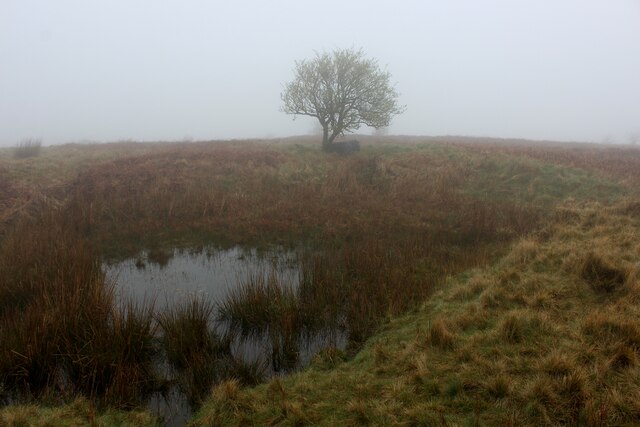
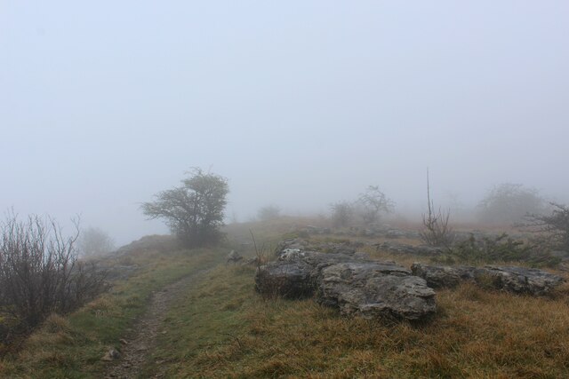
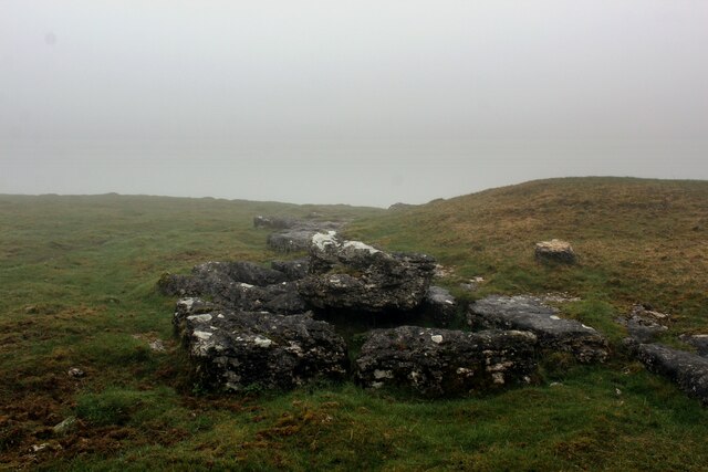
The hill is characterized by its distinct shape, with a gently sloping eastern side and a steep western face. Its summit is crowned with rocky outcrops, adding to its dramatic appearance. The vegetation on Birkber Head is predominantly heathland, covered with patches of heather, bracken, and scattered trees, providing an enchanting and diverse habitat for various species of plants and animals.
The panoramic views from Birkber Head are truly breathtaking. On a clear day, visitors can admire the vast expanse of the Lake District, with its rolling hills, shimmering lakes, and distant mountains. The nearby valleys, including the picturesque Lyvennet Valley and the tranquil Mallerstang, can also be seen from this vantage point.
Birkber Head is a popular destination for hikers and nature enthusiasts, as it offers an opportunity to immerse oneself in the natural beauty of the Lake District. Several walking trails traverse the area, allowing visitors to explore the hill and its surroundings. The hill's accessibility and its captivating vistas make it a favored spot for photographers and artists, who seek to capture its scenic charm.
Overall, Birkber Head in Westmorland is a captivating landscape feature that showcases the natural beauty of the Lake District. With its striking shape, diverse vegetation, and stunning views, it is a must-visit destination for anyone seeking to experience the splendor of this renowned national park.
If you have any feedback on the listing, please let us know in the comments section below.
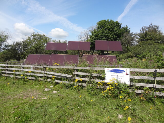
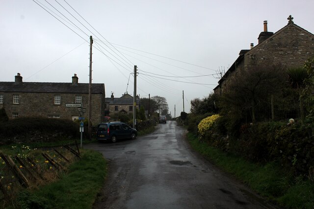
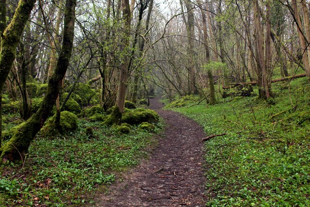
Birkber Head Images
Images are sourced within 2km of 54.198099/-2.6706795 or Grid Reference SD5678. Thanks to Geograph Open Source API. All images are credited.


Birkber Head is located at Grid Ref: SD5678 (Lat: 54.198099, Lng: -2.6706795)
Administrative County: Cumbria
District: South Lakeland
Police Authority: Cumbria
What 3 Words
///shrimp.clicker.terms. Near Kirkby Lonsdale, Cumbria
Nearby Locations
Related Wikis

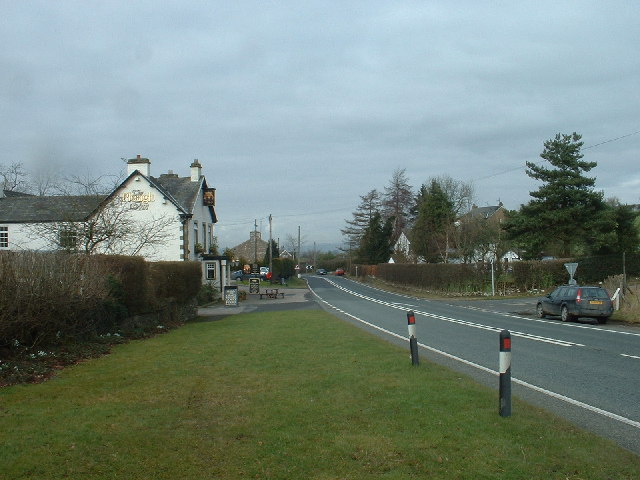
Hutton Roof, South Lakeland
Hutton Roof is a village and civil parish in the South Lakeland district of Cumbria, England, close to Kirkby Lonsdale and Hutton Roof Crags. Historically...
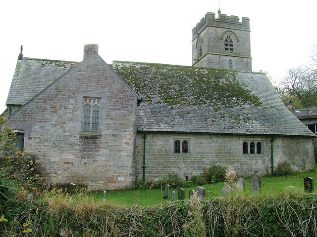
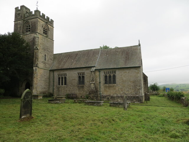
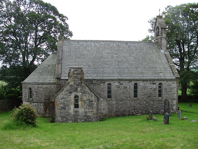
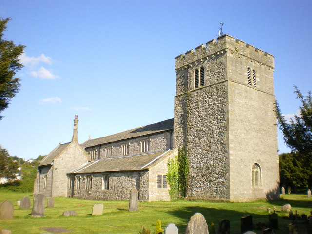
St John's Church, Hutton Roof
St John's Church is in the village of Hutton Roof, Cumbria, England. It is an active Anglican parish church in the deanery of Kendal, the archdeaconry...
Hutton Roof Crags
Hutton Roof Crags is a hill in south-eastern Cumbria in north-west England, located near to the village of Hutton Roof. It has extensive areas of limestone...

Dalton, Cumbria
Dalton is a hamlet and former civil parish, now in the parish of Burton-in-Kendal, in the Westmorland and Furness district, Cumbria, England. Until 1894...
All Saints Church, Lupton
All Saints Church is in the village of Lupton, Cumbria, England. It is an active Anglican parish church in the deanery of Kendal, the archdeaconry of...
Lupton, Cumbria
Lupton is a linear village and civil parish in the South Lakeland district of Cumbria, England, along the main A65 road north west of Kirkby Lonsdale,...
Clawthorpe
Clawthorpe is a hamlet in the South Lakeland district, in the county of Cumbria, England. It is near the village of Burton-in-Kendal and the town of Kendal...
St James' Church, Burton-in-Kendal
St James' Church is in the village of Burton-in-Kendal, Cumbria, England. It is an active Anglican parish church in the deanery of Kendal, the archdeaconry...
Nearby Amenities
Located within 500m of 54.198099,-2.6706795Have you been to Birkber Head?
Leave your review of Birkber Head below (or comments, questions and feedback).