Horsley
Civil Parish in Derbyshire Amber Valley
England
Horsley
Horsley is a civil parish located in Derbyshire, England. Situated approximately 5 miles north of the city of Derby, Horsley covers an area of around 7 square miles. The parish is bordered by the River Derwent to the east, offering picturesque views and recreational opportunities.
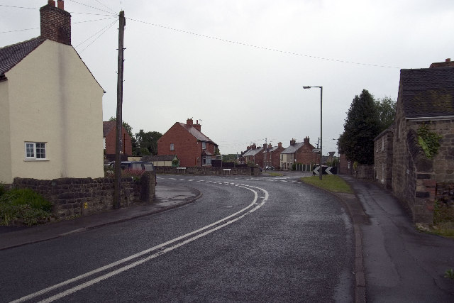
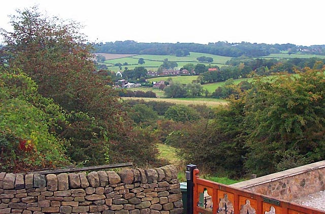
Horsley is a predominantly rural area, characterized by its charming countryside and rolling hills. The landscape is dotted with traditional stone-built houses, farms, and fields, providing a tranquil and idyllic setting. The parish is home to a small population, contributing to its peaceful and close-knit community atmosphere.
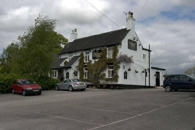
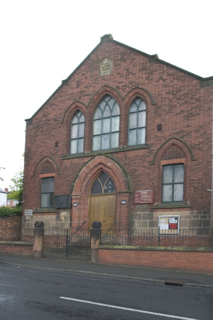
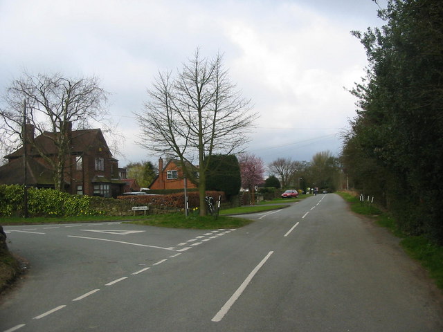
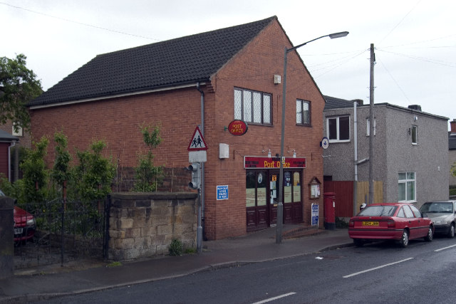
The village of Horsley is the main settlement within the parish and serves as a focal point for local amenities. It features a village hall, a primary school, a church, and a pub, offering essential services and social gathering places for residents. The village retains its historic charm, with many buildings dating back to the 18th and 19th centuries.
With its rural location, Horsley offers numerous opportunities for outdoor activities. The surrounding countryside provides ample space for walking, cycling, and horse riding, allowing residents and visitors to explore the natural beauty of the area. The nearby River Derwent is also popular for fishing and boating.
Overall, Horsley in Derbyshire is a peaceful and picturesque civil parish, offering a rural escape from the nearby urban areas. Its natural beauty, close-knit community, and range of outdoor activities make it an attractive place to live or visit for those seeking a quieter and more relaxed lifestyle.
If you have any feedback on the listing, please let us know in the comments section below.
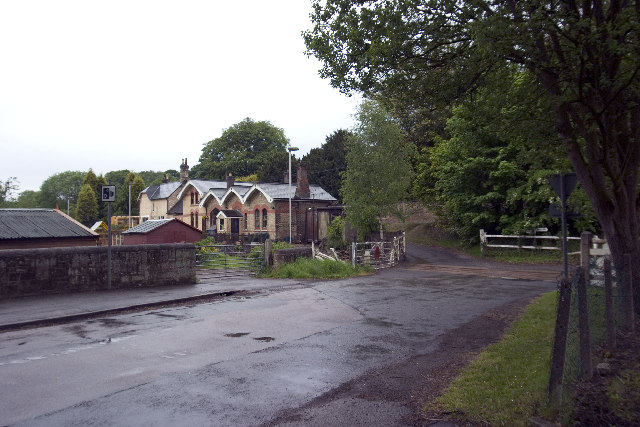
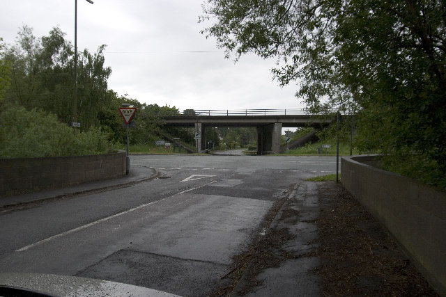
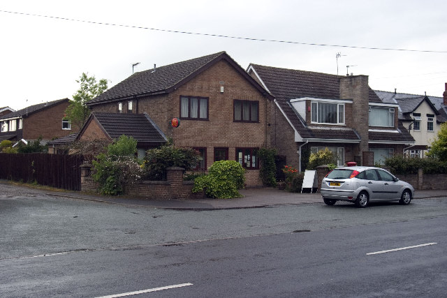
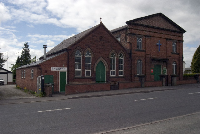
Horsley Images
Images are sourced within 2km of 52.990661/-1.434158 or Grid Reference SK3843. Thanks to Geograph Open Source API. All images are credited.


Horsley is located at Grid Ref: SK3843 (Lat: 52.990661, Lng: -1.434158)
Administrative County: Derbyshire
District: Amber Valley
Police Authority: Derbyshire
What 3 Words
///kind.stack.copper. Near Kilburn, Derbyshire
Nearby Locations
Related Wikis

Horsley, Derbyshire
Horsley is a small village in the Amber Valley district of Derbyshire, roughly 5 miles north of the City of Derby, England, with a population of 973 at...

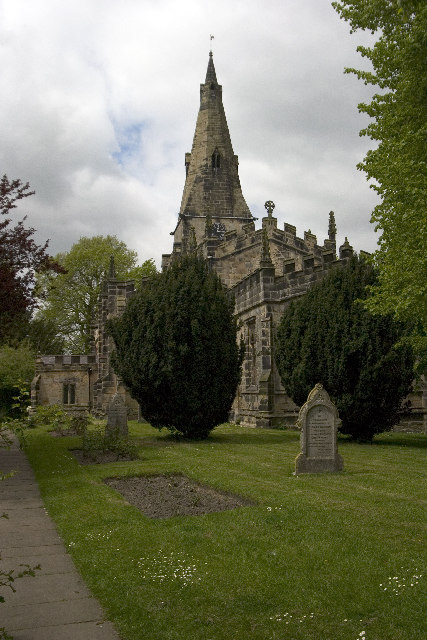
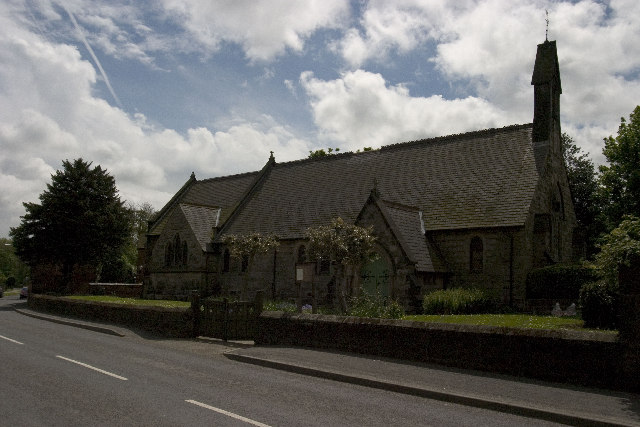
St Clement's Church, Horsley
St Clement's Church, Horsley is a Grade I listed parish church in the Church of England in Horsley, Derbyshire. == History == The church dates from the...

Horston Castle
Horston Castle (sometimes spelt Horeston and also known as Horsley Castle) is about 1 mile to the south of the village of Horsley, some 5 miles north of...

Coxbench railway station
Coxbench railway station was a railway station which served the village of Coxbench in Derbyshire, England. It was opened by the Midland Railway in 1856...
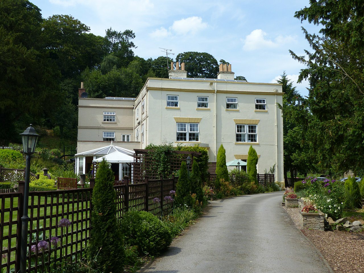
Coxbench Hall
Coxbench Hall is a late 18th-century country house, now in use as a residential home for the elderly, situated at Holbrook, Amber Valley, Derbyshire. It...

Brackley Gate
Brackley Gate is a hamlet in the Erewash district, in Derbyshire, England. It forms part of the civil parish of Morley. It is located northeast of Derby...
Kilburn, Derbyshire
Kilburn is a village and civil parish in the English county of Derbyshire, known as Kilbourne until around 100 years ago. The population of the civil parish...

Horsley Woodhouse
Horsley Woodhouse is a village and civil parish in the Amber Valley district of Derbyshire, in the East Midlands of England. The population of the civil...
Nearby Amenities
Located within 500m of 52.990661,-1.434158Have you been to Horsley?
Leave your review of Horsley below (or comments, questions and feedback).