Marks Hill
Hill, Mountain in Derbyshire Amber Valley
England
Marks Hill
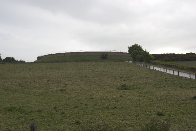
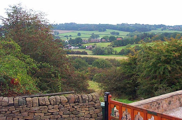
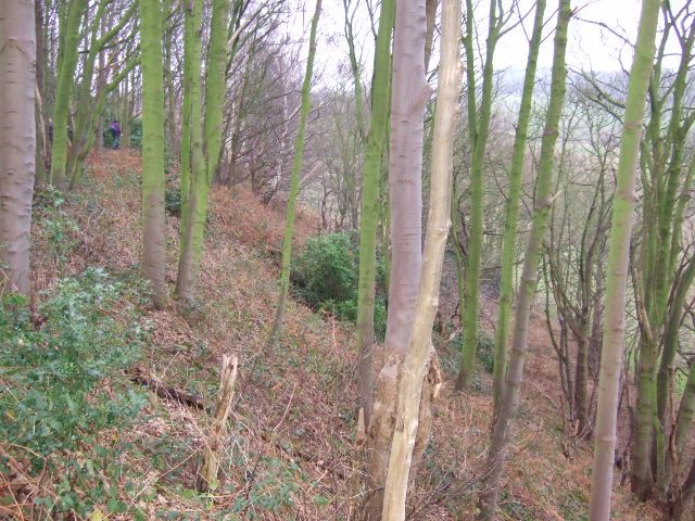
Marks Hill is a prominent hill located in the county of Derbyshire, England. Situated in the southern part of the Peak District National Park, it stands at an elevation of approximately 335 meters (1,099 feet) above sea level. The hill is part of a range of undulating hills that offer breathtaking views of the surrounding countryside.
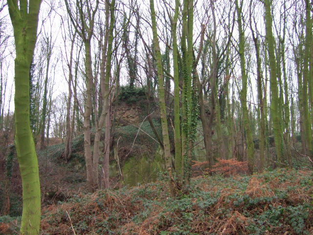
Marks Hill is covered in lush green vegetation, with a mixture of grasses, heather, and scattered shrubs adorning its slopes. The hill's terrain is relatively gentle, making it accessible to hikers and nature enthusiasts of all abilities. A network of footpaths and trails crisscross the area, allowing visitors to explore the hill and appreciate its natural beauty at their own pace.
From the summit of Marks Hill, visitors are treated to panoramic views of the rolling hills and valleys that define the Derbyshire landscape. On clear days, it is possible to spot notable landmarks such as the nearby Carsington Water reservoir and the distant Pennine Mountains.
The hill is home to a diverse range of flora and fauna, with a variety of bird species, small mammals, and butterflies making their homes here. It is not uncommon to see grazing sheep or wild ponies on the hillside, adding to its rural charm.
Marks Hill is a popular destination for outdoor activities such as walking, cycling, and picnicking. Its serene and tranquil setting provides an ideal escape from the hustle and bustle of urban life, offering visitors the opportunity to reconnect with nature in a beautiful and unspoiled environment.
If you have any feedback on the listing, please let us know in the comments section below.
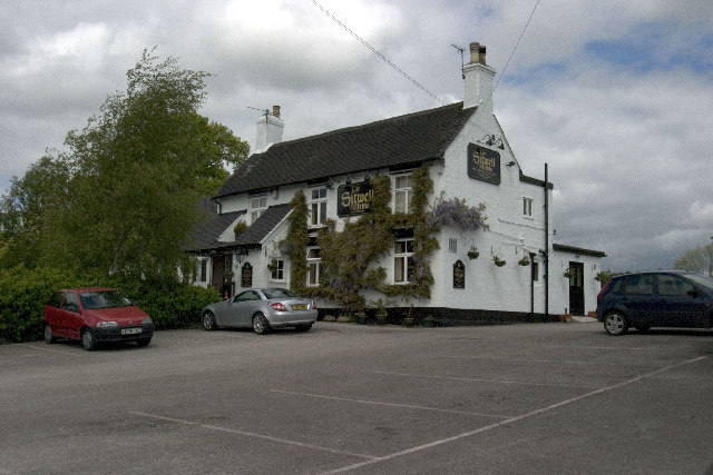
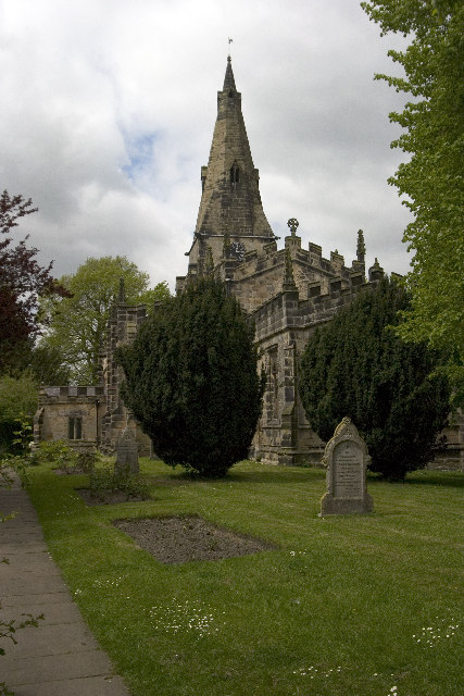
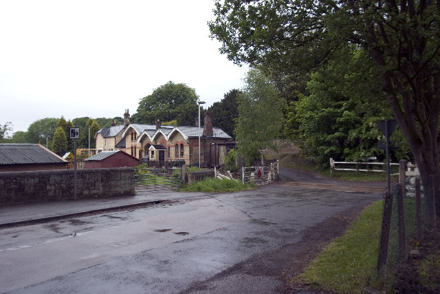
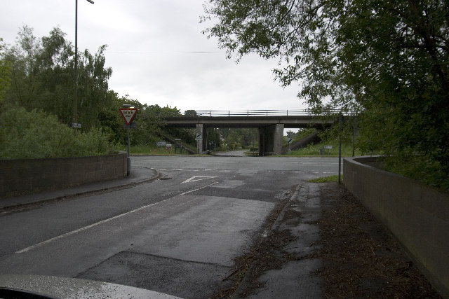
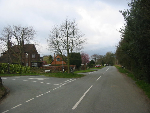
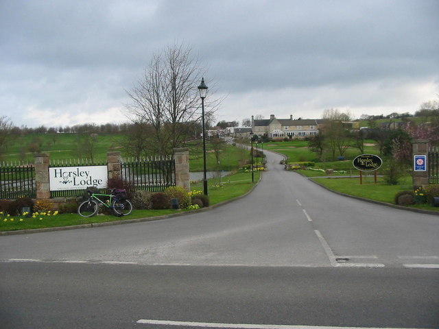
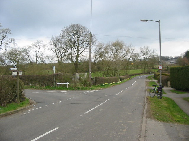
Marks Hill Images
Images are sourced within 2km of 52.984427/-1.4252464 or Grid Reference SK3843. Thanks to Geograph Open Source API. All images are credited.

Marks Hill is located at Grid Ref: SK3843 (Lat: 52.984427, Lng: -1.4252464)
Administrative County: Derbyshire
District: Amber Valley
Police Authority: Derbyshire
What 3 Words
///nods.fancy.regard. Near Kilburn, Derbyshire
Nearby Locations
Related Wikis

Brackley Gate
Brackley Gate is a hamlet in the Erewash district, in Derbyshire, England. It forms part of the civil parish of Morley. It is located northeast of Derby...

Horston Castle
Horston Castle (sometimes spelt Horeston and also known as Horsley Castle) is about 1 mile to the south of the village of Horsley, some 5 miles north of...

Horsley, Derbyshire
Horsley is a small village in the Amber Valley district of Derbyshire, roughly 5 miles north of the City of Derby, England, with a population of 973 at...

Coxbench railway station
Coxbench railway station was a railway station which served the village of Coxbench in Derbyshire, England. It was opened by the Midland Railway in 1856...
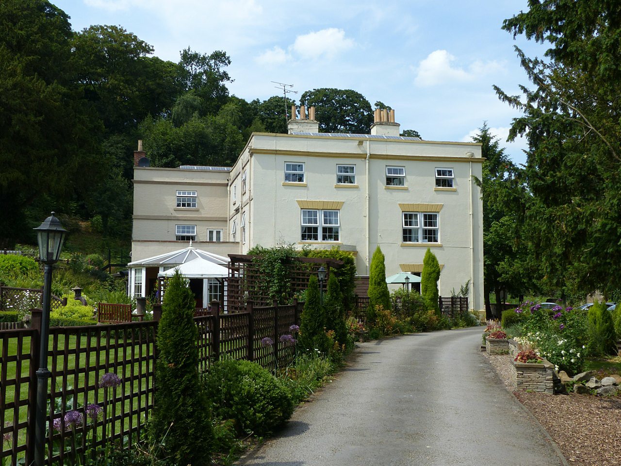
Coxbench Hall
Coxbench Hall is a late 18th-century country house, now in use as a residential home for the elderly, situated at Holbrook, Amber Valley, Derbyshire. It...

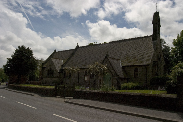
St Clement's Church, Horsley
St Clement's Church, Horsley is a Grade I listed parish church in the Church of England in Horsley, Derbyshire. == History == The church dates from the...

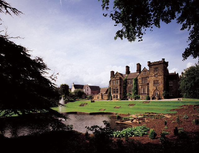
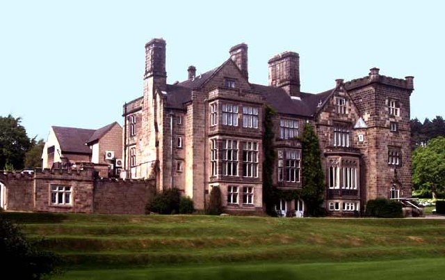
Breadsall Priory
Breadsall Priory is a former Augustinian priory in Derbyshire, situated around two kilometres north of Breadsall, and two kilometres east of Little Eaton...

Stainsby House
Stainsby House is an architecturally notable house in Horsley Woodhouse, Derbyshire, England. It was designed by Nottingham architect David Shelley, and...
Nearby Amenities
Located within 500m of 52.984427,-1.4252464Have you been to Marks Hill?
Leave your review of Marks Hill below (or comments, questions and feedback).