Holme Low

Civil Parish in Cumberland Allerdale

England

Holme Low

Building at entrance to former airfield This appears to be a former RAF guard house.
Building at entrance to former airfield Credit: Kevin Waterhouse

Holme Low is a civil parish located in the county of Cumberland, in the North West region of England. It is situated in the beautiful Lake District National Park, known for its stunning landscapes and abundance of outdoor recreational activities.

The parish covers an area of approximately 10 square kilometers and is home to a small population of around 200 residents. The village itself is quaint and picturesque, with traditional stone-built houses and a charming rural atmosphere.

Holme Low is surrounded by rolling hills and vast expanses of open countryside, making it an ideal location for nature lovers and outdoor enthusiasts. The area offers numerous hiking trails, cycling routes, and fishing spots, allowing visitors to fully immerse themselves in the stunning natural surroundings.

Despite its small size, the parish has a close-knit community and a strong sense of community spirit. Residents often come together for local events and activities, fostering a sense of belonging and camaraderie.

In terms of amenities, Holme Low has a small village hall, which serves as a hub for various community events and gatherings. There are also a few local businesses, including a pub and a small shop, providing essential services and meeting the needs of the residents.

Overall, Holme Low offers a peaceful and idyllic setting, with its picturesque landscapes, strong community ties, and outdoor recreational opportunities, making it an attractive place to live or visit for those seeking a rural retreat in the heart of the Lake District.

If you have any feedback on the listing, please let us know in the comments section below.
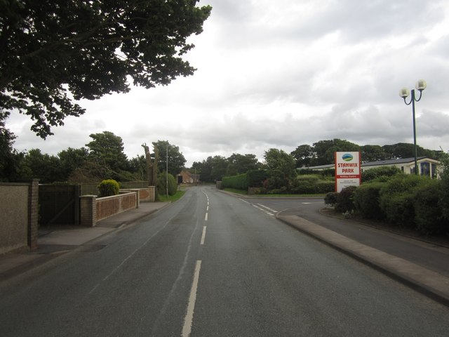
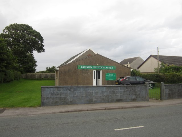
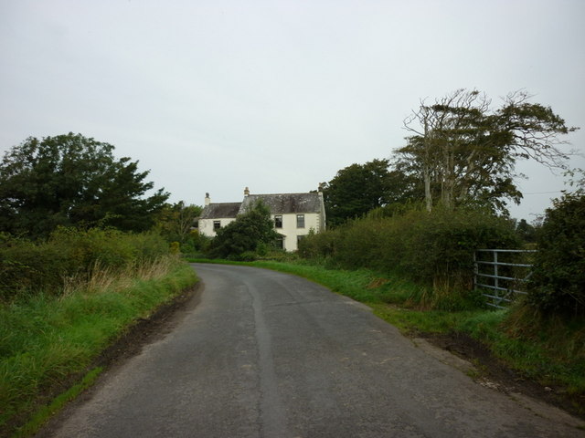
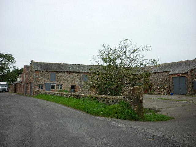
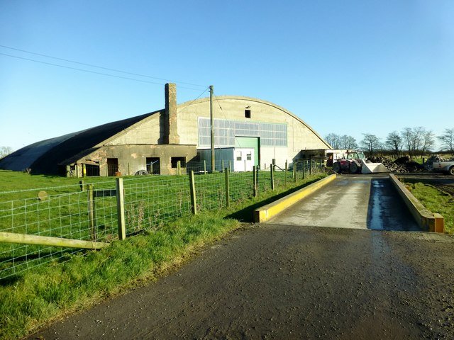
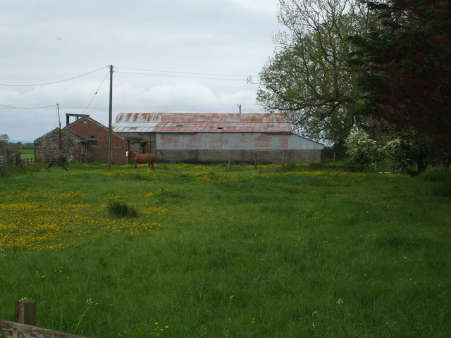
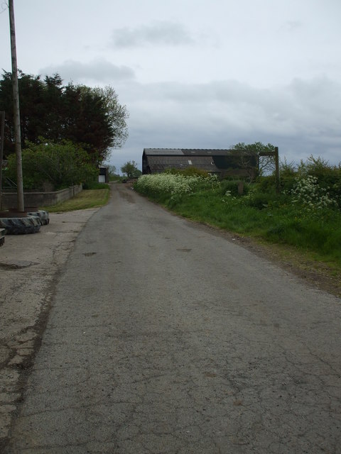
Holme Low Images

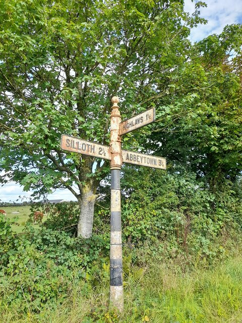
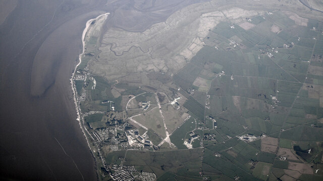
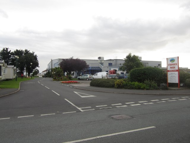
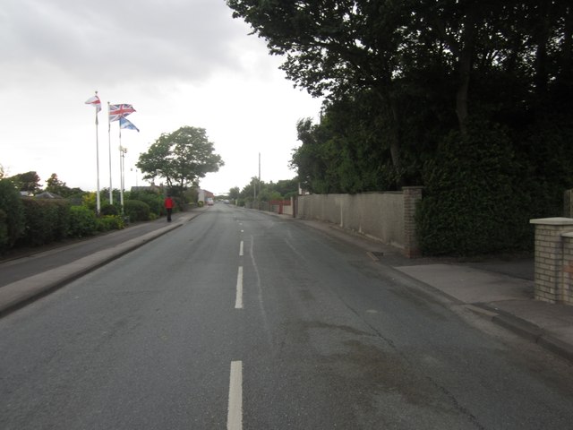
Images are sourced within 2km of 54.856792/-3.358941 or Grid Reference NY1252. Thanks to Geograph Open Source API. All images are credited.

Building at entrance to former airfield This appears to be a former RAF guard house.
Building at entrance to former airfield
This appears to be a former RAF guard house.
Church of St Paul
Church of St Paul
Former RAF hangar At the former Silloth airfield now used in connection with road transport
Former RAF hangar
At the former Silloth airfield now used in connection with road transport
Former RAF Silloth The hangars in this view are associated with road haulage and storage, but behind is a concrete factory and all are in the same company group
Former RAF Silloth
The hangars in this view are associated with road haulage and storage, but behind is a concrete factory and all are in the same company group
Direction Sign – Signpost at Black Dyke Located in the hedge on the south side of the junction near Black Dyke Farm, southwest of Silloth. Holme Low parish. 3 arms and annulus finial.

Milestone Society National ID: CU_NY1352
Direction Sign – Signpost at Black Dyke
Located in the hedge on the south side of the junction near Black Dyke Farm, southwest of Silloth. Holme Low parish. 3 arms and annulus finial. Milestone Society National ID: CU_NY1352
Direction Sign – Signpost Located on the north side of the junction north of Highlaws. Holme Low parish. 3 arms and pawn finial.

Milestone Society National ID: CU_NY1351
Direction Sign – Signpost
Located on the north side of the junction north of Highlaws. Holme Low parish. 3 arms and pawn finial. Milestone Society National ID: CU_NY1351
Minor road towards Skinburness
Former RAF Silloth Airfield from the air Viewed from a Prague bound flight from Glasgow, at 28,000 feet above the Solway Firth. No longer in aviation use.
Former RAF Silloth Airfield from the air
Viewed from a Prague bound flight from Glasgow, at 28,000 feet above the Solway Firth. No longer in aviation use.
Entrance to Stanwix Park, Silloth Stanwix Park provides holiday accommodation in the form of apartments and static caravans. It also has camping and caravanning pitches. The main building housing reception, leisure facilities and entertainment venues can be seen behind the car park on the right.
Entrance to Stanwix Park, Silloth
Stanwix Park provides holiday accommodation in the form of apartments and static caravans. It also has camping and caravanning pitches. The main building housing reception, leisure facilities and entertainment venues can be seen behind the car park on the right.
Looking west along the B5300 in Silloth Looking west along the B5300 road towards the Solway Firth and centre of Silloth. Stanwix Park is on the left whilst residential properties line the right side of the road.
Looking west along the B5300 in Silloth
Looking west along the B5300 road towards the Solway Firth and centre of Silloth. Stanwix Park is on the left whilst residential properties line the right side of the road.
Looking east on the B5300 through Silloth Looking east along the B5300 through Silloth. The entrance to Stanwix Park is on the right, whilst residential properties line the other side of the street.
Looking east on the B5300 through Silloth
Looking east along the B5300 through Silloth. The entrance to Stanwix Park is on the right, whilst residential properties line the other side of the street.
Greenrow Pentecostal Church Greenrow Pentecostal Church, near Silloth, located on the side of the B5300 road.
Greenrow Pentecostal Church
Greenrow Pentecostal Church, near Silloth, located on the side of the B5300 road.
Hartlaw Farmhouse
Hartlaw Farmhouse
Hartlaw Farm
Hartlaw Farm
The entrance to Stanwix Park Holiday Centre
Hangar 25, Causewayhead, Silloth Work today was a trip to Causewayhead, Silloth, to view the progress of a new tunnel composting system. A three hour discussion was required to make sure we were all aware how the validation should proceed.
I then managed a walk from Skinburnessbank down to Grune Point during my late lunch hour in bright sunshine but a very cool breeze.
Hangar 25, Causewayhead, Silloth
Work today was a trip to Causewayhead, Silloth, to view the progress of a new tunnel composting system. A three hour discussion was required to make sure we were all aware how the validation should proceed. I then managed a walk from Skinburnessbank down to Grune Point during my late lunch hour in bright sunshine but a very cool breeze.
Barns at Abbot Farm, Blackdyke
Cracked tarmac in Blackdyke This road passes through Middle Farm, which has buildings on both sides.
Cracked tarmac in Blackdyke
This road passes through Middle Farm, which has buildings on both sides.
Show me another place!

Holme Low is located at Grid Ref: NY1252 (Lat: 54.856792, Lng: -3.358941)

Administrative County: Cumbria

District: Allerdale

Police Authority: Cumbria

What 3 Words

///factoring.boldest.recovery. Near Silloth, Cumbria

Related Wikis

Causewayhead railway station

Causewayhead or, originally, Causey Head, was an early, short lived railway station near Causewayhead, Cumbria on the Carlisle & Silloth Bay Railway &...
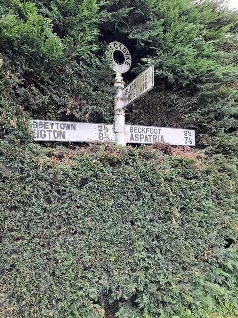
Causewayhead

Causewayhead is a hamlet in the civil parish of Holme Low in Cumbria, England, about 1 mile (2 km) south-east of Silloth. The B5302 road runs through the...

Black Dyke Halt railway station

Black Dyke Halt or Blackdyke was a railway station near Blackdyke, Cumbria on the Silloth branch, serving the small hamlet of Black Dyke and its rural...
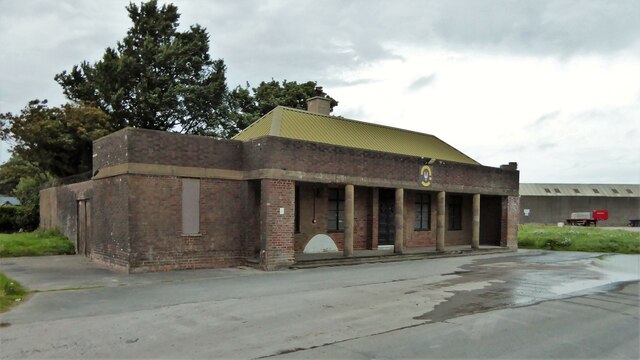
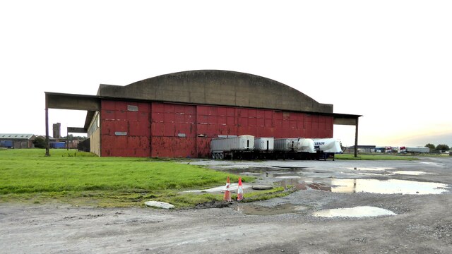
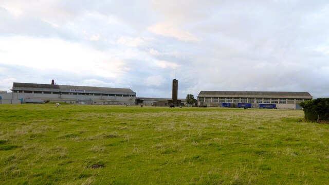
RAF Silloth

Royal Air Force Silloth, or more simply RAF Silloth, is a former Royal Air Force station one mile (1.6 km) north-east of Silloth, Cumbria, England, and...

Nearby Amenities

Located within 500m of 54.856792,-3.358941
Power: pole
Lat/Long: 54.8590221/-3.353688
Power: pole
Lat/Long: 54.8586624/-3.3525266
Power: pole
Lat/Long: 54.8594066/-3.3545396
Power: pole
Lat/Long: 54.8597902/-3.3554395
Power: pole
Lat/Long: 54.8602518/-3.3569603
Power: pole
Lat/Long: 54.860762/-3.3586434
Power: pole
Lat/Long: 54.8611433/-3.359786
Power: pole
Lat/Long: 54.8609039/-3.3598139
Power: pole
Lat/Long: 54.860062/-3.3602921
Power: pole
Lat/Long: 54.8593675/-3.3606735
Power: pole
Lat/Long: 54.8587265/-3.3610548
Power: pole
Lat/Long: 54.8582782/-3.3618417
Power: pole
Lat/Long: 54.8578439/-3.3626386
Power: pole
Lat/Long: 54.8572498/-3.3637009
Power: pole
Lat/Long: 54.8566982/-3.3647622
Power: pole
Lat/Long: 54.8561401/-3.3657791
Power: pole
Lat/Long: 54.8557783/-3.3665357
The data included in this document is from www.openstreetmap.org. The data is made available under ODbL.

Have you been to Holme Low?

Leave your review of Holme Low below (or comments, questions and feedback).