Holme next the Sea
Civil Parish in Norfolk King's Lynn and West Norfolk
England
Holme next the Sea
Holme-next-the-Sea is a civil parish located on the North Norfolk coast in the county of Norfolk, England. Situated approximately three miles west of the popular coastal town of Hunstanton, this small village is known for its natural beauty and tranquil atmosphere.
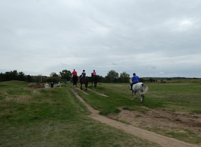
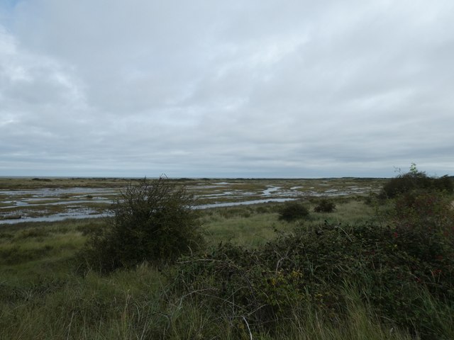
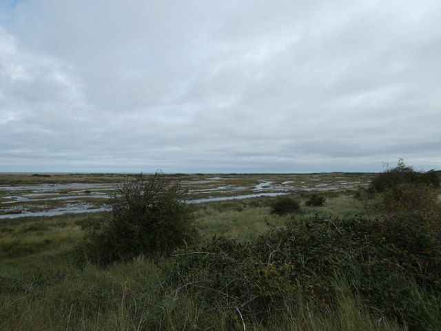
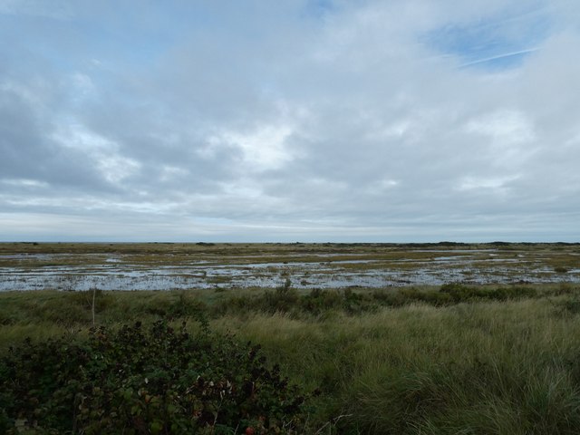
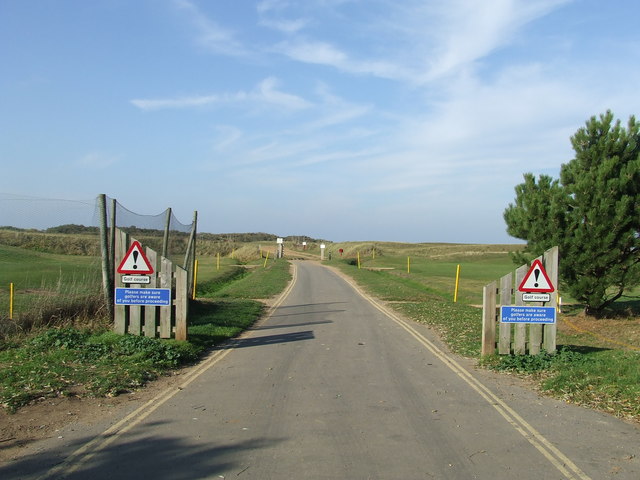
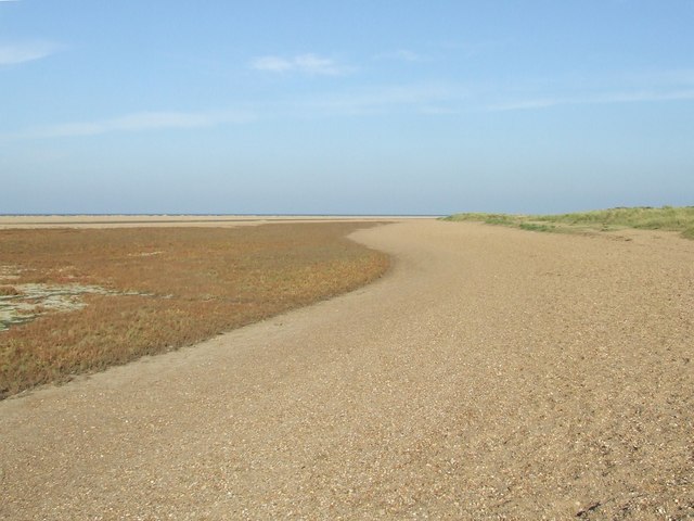
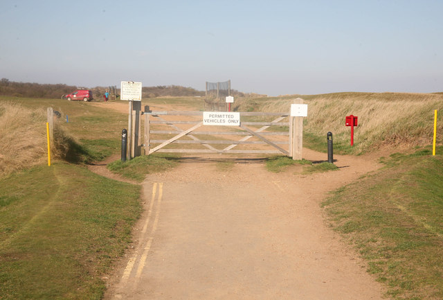
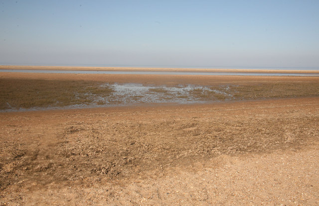
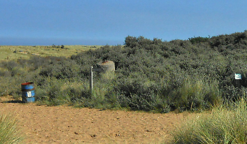
The village is nestled between the Holme Dunes National Nature Reserve and the Holme Beach, which stretches for miles along the coastline. The reserve is a haven for wildlife, offering a diverse habitat of sand dunes, salt marshes, and pine woodlands. Birdwatchers flock to Holme-next-the-Sea, as it is an important site for migratory birds, including rare species such as the ringed plover and the little tern.
Despite its small size, the village offers a range of amenities for visitors and residents alike. The village has a popular pub, The White Horse, which serves delicious food and offers a selection of local ales. There is also a village hall, which hosts various community events throughout the year.
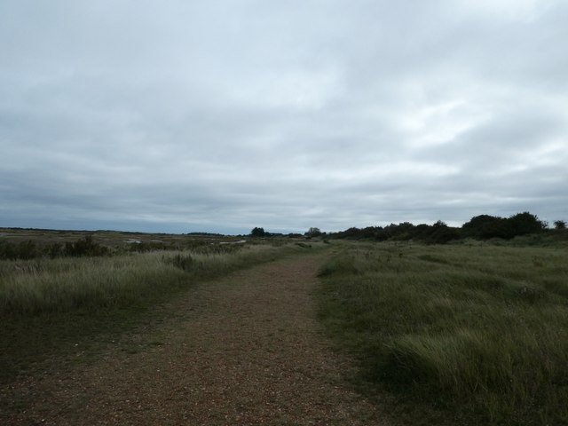
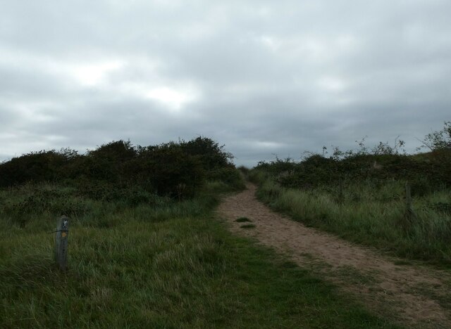
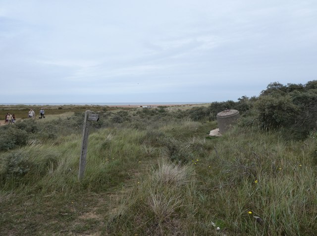
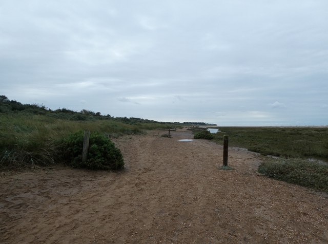
Holme-next-the-Sea is a popular destination for holidaymakers seeking a peaceful retreat by the coast. The village offers a range of accommodation options, including holiday cottages, guesthouses, and campsites, providing visitors with the opportunity to enjoy the natural beauty of the area. The village is also a popular starting point for coastal walks, with the Norfolk Coast Path passing through.
With its stunning natural surroundings, abundant wildlife, and serene atmosphere, Holme-next-the-Sea is a hidden gem on the Norfolk coast, attracting nature lovers, birdwatchers, and those seeking a peaceful coastal getaway.
If you have any feedback on the listing, please let us know in the comments section below.
Holme next the Sea Images
Images are sourced within 2km of 52.963873/0.543997 or Grid Reference TF7043. Thanks to Geograph Open Source API. All images are credited.

Holme next the Sea is located at Grid Ref: TF7043 (Lat: 52.963873, Lng: 0.543997)
Administrative County: Norfolk
District: King's Lynn and West Norfolk
Police Authority: Norfolk
What 3 Words
///ages.ketchup.vowed. Near Hunstanton, Norfolk
Nearby Locations
Related Wikis

St Mary's Church, Holme-next-the-Sea
St Mary's Church is the parish church of Holme-next-the-Sea in the English county of Norfolk. It is dedicated to the Virgin Mary. The church is partly...

Holme-next-the-Sea
Holme-next-the-Sea is a small village and civil parish in the English county of Norfolk. It is situated on the north Norfolk coast some 5 km north-east...

Holme Dunes
Holme Dunes is a 192-hectare (470-acre) nature reserve near Holme-next-the-Sea in Norfolk. It is managed by the Norfolk Wildlife Trust, and is a National...

River Hun
The River Hun is in the west of the county of Norfolk, in England. Its source is in the grounds of Hunstanton Park. Its mouth can be found on the North...

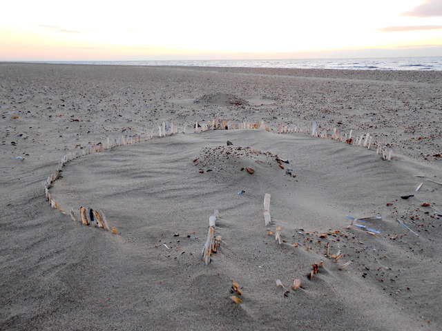
Seahenge
Seahenge, also known as Holme I, was a prehistoric monument located in the village of Holme-next-the-Sea, near Old Hunstanton in the English county of...
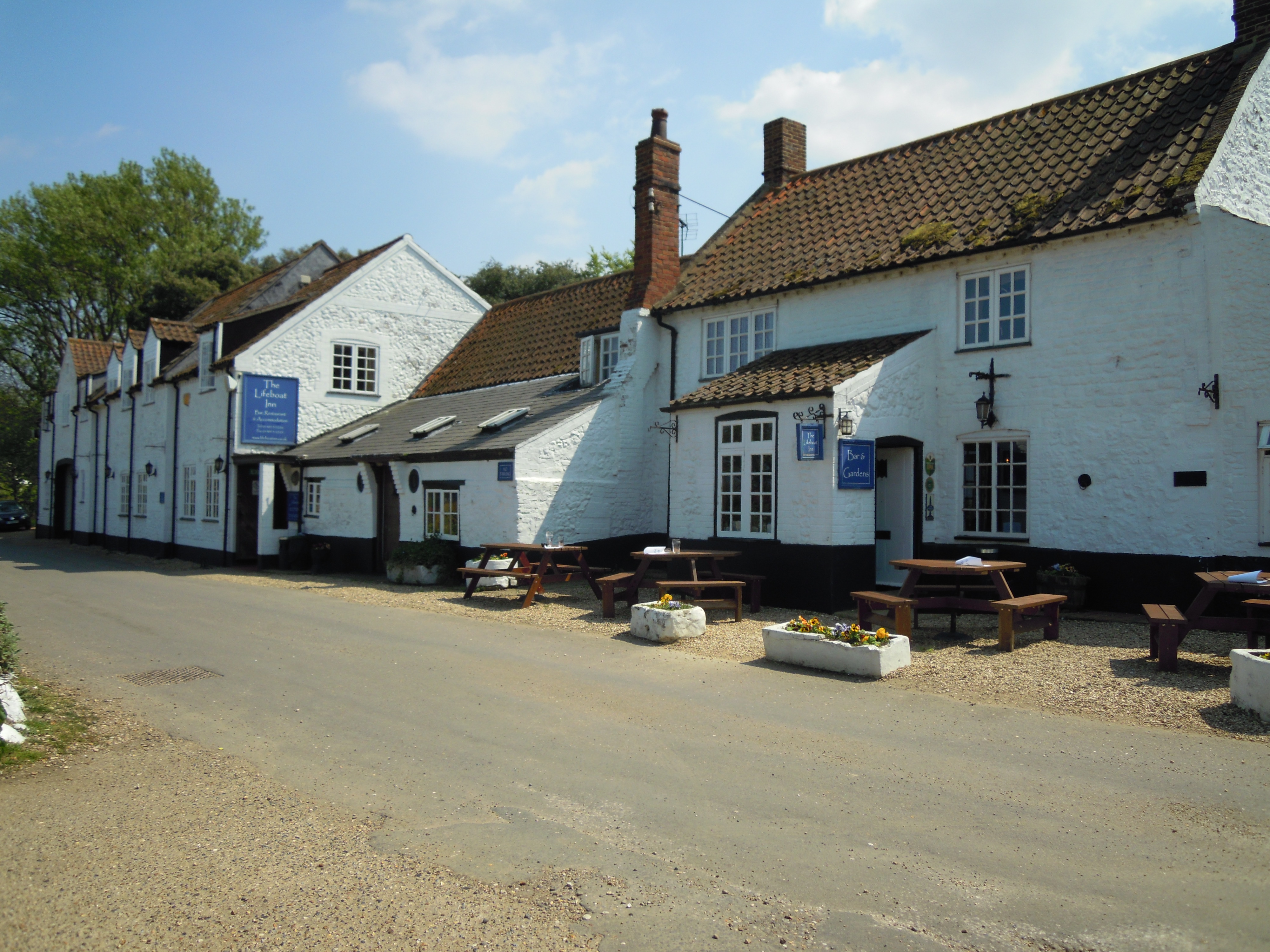
The Lifeboat Inn, Thornham
The Lifeboat Inn is a public house and inn in Ship Lane, Thornham, Norfolk, England. It lies near the wooded grounds of Thornham Manor. The white-painted...

Thornham, Norfolk
Thornham is a village and civil parish in the English county of Norfolk. It is situated on the north Norfolk coast some 7 kilometres (4.3 mi) north-east...

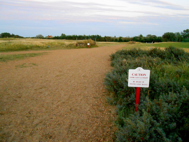
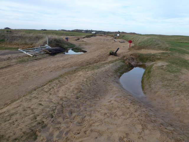
Hunstanton Golf Club
Hunstanton Golf Club is an 18-hole members golf club in Norfolk, England which has hosted many of the leading amateur golf tournaments in Britain including...
Nearby Amenities
Located within 500m of 52.963873,0.543997Have you been to Holme next the Sea?
Leave your review of Holme next the Sea below (or comments, questions and feedback).