East Causewayhead
Settlement in Cumberland Allerdale
England
East Causewayhead
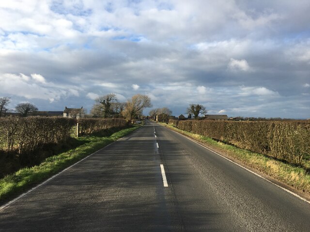
East Causewayhead is a small village located in the county of Cumberland, England. Situated in the picturesque countryside, it is nestled between rolling hills and lush green fields, offering a serene and tranquil environment.
The village is characterized by its charming and quaint atmosphere, with traditional stone houses and well-manicured gardens lining the streets. The local community is close-knit and friendly, always ready to welcome visitors and new residents.
Although relatively secluded, East Causewayhead benefits from its proximity to nearby towns and cities. The bustling market town of Penrith is just a short drive away, providing residents with access to a range of amenities including shops, restaurants, and schools.
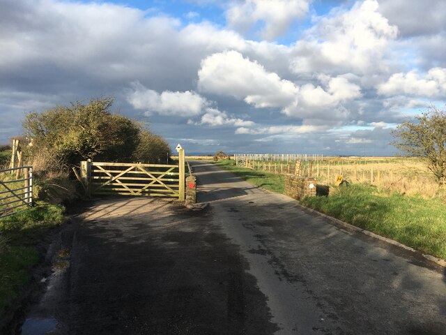
Nature enthusiasts will be delighted by the natural beauty that surrounds East Causewayhead. The village is located near the North Pennines Area of Outstanding Natural Beauty, offering breathtaking landscapes and numerous walking trails. The nearby Lake District National Park is also easily accessible, providing opportunities for outdoor activities such as hiking, boating, and wildlife spotting.
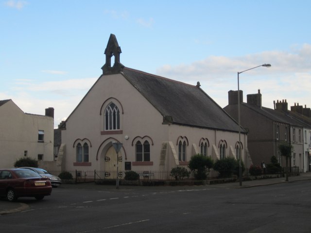
For history buffs, East Causewayhead offers a glimpse into the past. The village is home to several historical landmarks, including a medieval church and a restored farmhouse, which provide insight into the area's rich heritage.
In summary, East Causewayhead is a charming village in Cumberland that offers a peaceful and idyllic lifestyle. With its natural beauty, friendly community, and proximity to amenities, it is an ideal place for those seeking a rural retreat.
If you have any feedback on the listing, please let us know in the comments section below.
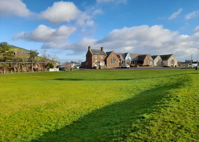
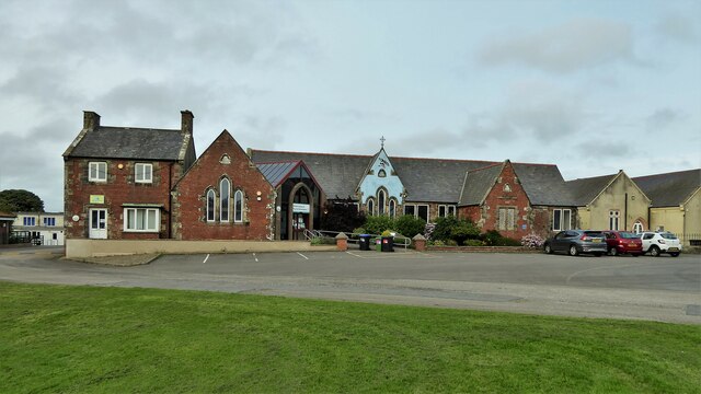
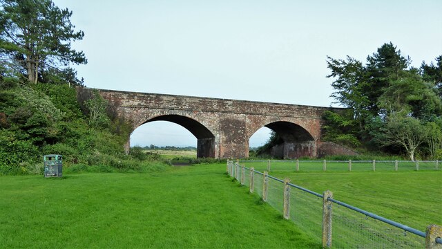
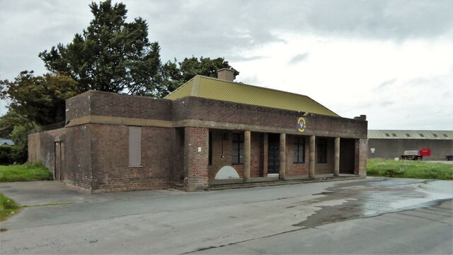
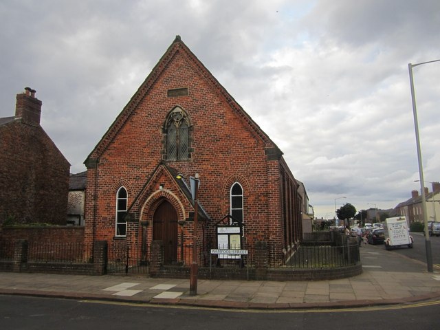
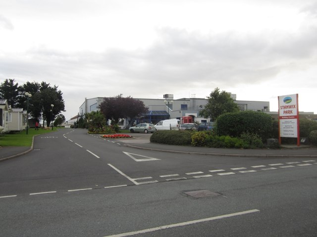
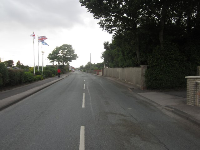
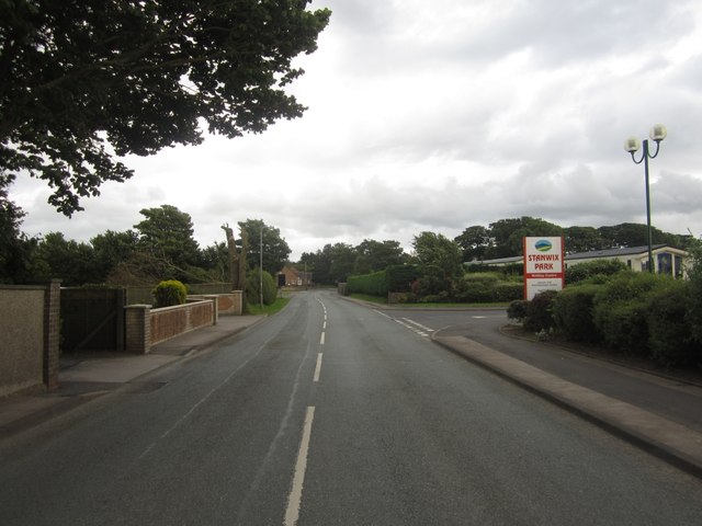
East Causewayhead Images
Images are sourced within 2km of 54.862428/-3.3583884 or Grid Reference NY1252. Thanks to Geograph Open Source API. All images are credited.


East Causewayhead is located at Grid Ref: NY1252 (Lat: 54.862428, Lng: -3.3583884)
Administrative County: Cumbria
District: Allerdale
Police Authority: Cumbria
What 3 Words
///shudders.behalf.tennis. Near Silloth, Cumbria
Nearby Locations
Related Wikis

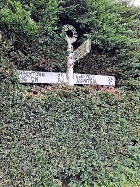
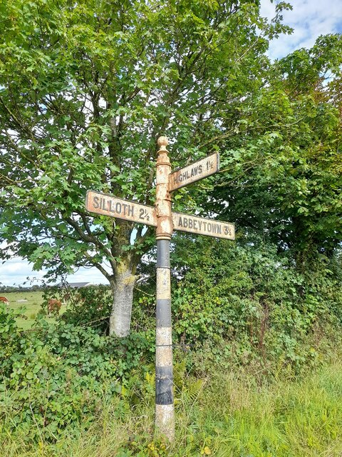
Causewayhead
Causewayhead is a hamlet in the civil parish of Holme Low in Cumbria, England, about 1 mile (2 km) south-east of Silloth. The B5302 road runs through the...

Causewayhead railway station
Causewayhead or, originally, Causey Head, was an early, short lived railway station near Causewayhead, Cumbria on the Carlisle & Silloth Bay Railway &...
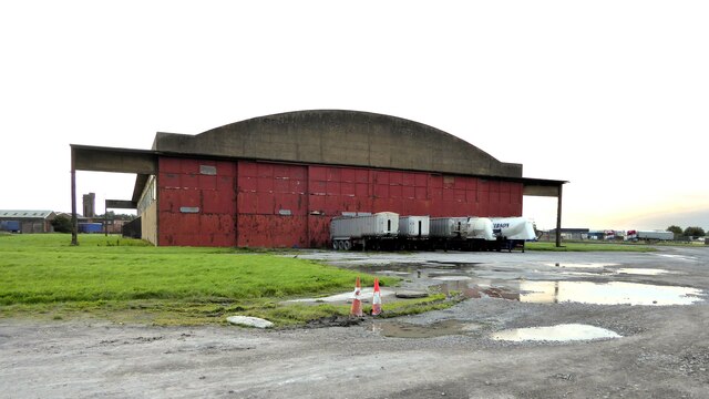
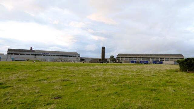
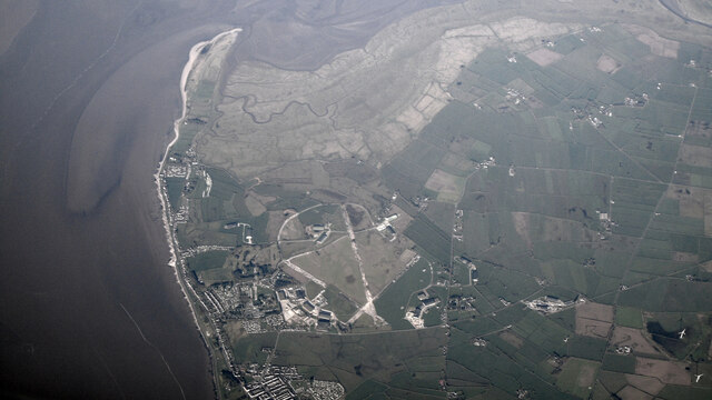
RAF Silloth
Royal Air Force Silloth, or more simply RAF Silloth, is a former Royal Air Force station one mile (1.6 km) north-east of Silloth, Cumbria, England, and...

Black Dyke Halt railway station
Black Dyke Halt or Blackdyke was a railway station near Blackdyke, Cumbria on the Silloth branch, serving the small hamlet of Black Dyke and its rural...
Nearby Amenities
Located within 500m of 54.862428,-3.3583884Have you been to East Causewayhead?
Leave your review of East Causewayhead below (or comments, questions and feedback).