Holbrook

Civil Parish in Suffolk Babergh

England

Holbrook

Hyams Lane Towards Holbrook.
Hyams Lane Credit: Robin Webster

Holbrook is a civil parish located in the county of Suffolk, England. It is situated on the Shotley Peninsula, approximately 9 miles south of the town of Ipswich. The parish covers an area of around 7 square miles and has a population of approximately 2,700 residents.

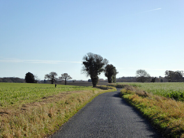
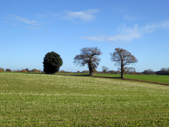
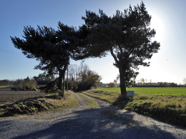
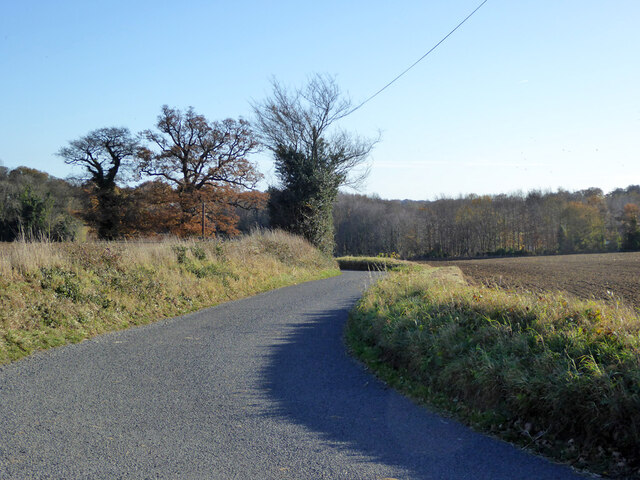
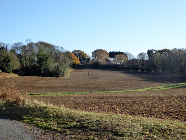
The village of Holbrook is known for its picturesque countryside, with rolling hills and farmland surrounding the area. The River Stour flows through the parish, offering opportunities for recreational activities such as boating and fishing. The nearby Alton Water reservoir also provides a scenic setting for outdoor pursuits.

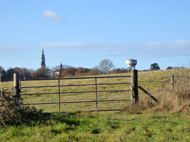
Holbrook has a rich history, with evidence of human habitation dating back to prehistoric times. The village itself grew around the 12th century church of All Saints, which still stands as a prominent landmark. The parish also includes several historic buildings and landmarks, including Holbrook House, a Grade II listed Georgian manor, and the Royal Hospital School, a prestigious boarding school.

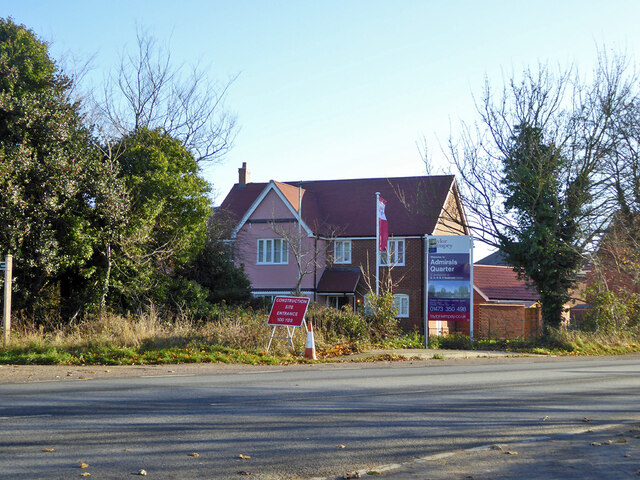
The village is well-served by amenities, including a post office, a convenience store, and a village hall. There are also several pubs and restaurants, offering a range of dining options. Holbrook is also home to various community groups and clubs, providing opportunities for socializing and engagement.

The parish benefits from good transportation links, with the A137 road passing through the area. The nearby towns of Ipswich and Manningtree provide further access to amenities and transport connections, including rail services to London and other major cities.

Overall, Holbrook offers a tranquil and picturesque setting, with a rich history and a strong sense of community.

If you have any feedback on the listing, please let us know in the comments section below.

Holbrook Images

Images are sourced within 2km of 51.978769/1.159002 or Grid Reference TM1735. Thanks to Geograph Open Source API. All images are credited.

Hyams Lane Towards Holbrook.
Hyams Lane
Towards Holbrook.
Farmland with trees West of Holbrook.
Farmland with trees
West of Holbrook.
Track to Alton Hall Cottages Also a footpath to and over the Alton Water dam.
Track to Alton Hall Cottages
Also a footpath to and over the Alton Water dam.
Hyams Lane Towards Holbrook.
Hyams Lane
Towards Holbrook.
Fields SW of Holbrook
War memorial, Holbrook Grade II listed, 1921.
War memorial, Holbrook
Grade II listed, 1921.
B1080 Ipswich Road by The Compasses, Holbrook
Corner house, Admirals Quarter development, Holbrook At the time (2017), building was in hand, this corner was completed first.
Corner house, Admirals Quarter development, Holbrook
At the time (2017), building was in hand, this corner was completed first.
Fishponds Lane Crossing the dam of the largest fish pond (to the left).
Fishponds Lane
Crossing the dam of the largest fish pond (to the left).
View east from Harkstead Road Towards the Royal Hospital School.
View east from Harkstead Road
Towards the Royal Hospital School.
Cottages, Harkstead Road A grade II listed building, the right end older, 16th/17th century or earlier.
Cottages, Harkstead Road
A grade II listed building, the right end older, 16th/17th century or earlier.
Track up from Alton Wharf A public footpath.
Track up from Alton Wharf
A public footpath.
Alton Wharf, Holbrook Creek Off the Stour estuary.
Alton Wharf, Holbrook Creek
Off the Stour estuary.
Alton Wharf, Holbrook Creek Off the Stour estuary.
Alton Wharf, Holbrook Creek
Off the Stour estuary.
Boat, Holbrook Creek, low tide Just off Alton Wharf.
Boat, Holbrook Creek, low tide
Just off Alton Wharf.
Boats, Holbrook Creek, low tide The tower of the Royal Hospital School is in the distance.
Boats, Holbrook Creek, low tide
The tower of the Royal Hospital School is in the distance.
Very low cliff, Holbrook Bay Since late Victorian times, about 30 m of land has been lost here.
Very low cliff, Holbrook Bay
Since late Victorian times, about 30 m of land has been lost here.
Royal Hospital School A grade II*(star) listed building of the 1920s/30s.
Royal Hospital School
A grade II*(star) listed building of the 1920s/30s.
Show me another place!

Holbrook is located at Grid Ref: TM1735 (Lat: 51.978769, Lng: 1.159002)

Administrative County: Suffolk

District: Babergh

Police Authority: Suffolk

What 3 Words

///rave.sampling.soak. Near Holbrook, Suffolk

Related Wikis

Holbrook, Suffolk

Holbrook is a village situated close to the northern shore of the estuary of the River Stour, in Suffolk, England. It is located on the Shotley Peninsula...

Royal Hospital School

The Royal Hospital School (usually shortened as "RHS" and historically nicknamed "The Cradle of the Navy") is a British co-educational fee-charging boarding...

Holbrook Academy, Suffolk

Holbrook Academy is a secondary school with academy status located in the village of Holbrook, 5 miles (8 km) south of Ipswich in the English county of...

Alton Water

Alton Water (or Alton Reservoir) is a manmade reservoir located on the Shotley peninsula. It is the largest in Suffolk, with a perimeter of over 8 miles...

Nearby Amenities

Located within 500m of 51.978769,1.159002
Turning Circle
Lat/Long: 51.9825427/1.1552915
Bus Stop
Compasses
Lit: yes
Local Ref: adj
Naptan AtcoCode: 390010037
Naptan Bearing: N
Naptan CommonName: Compasses
Naptan Landmark: Compasses
Naptan NaptanCode: sufadatd
Naptan Street: Church Road
Naptan Verified: no
Public Transport: platform
Shelter: yes
Source: naptan_import
Lat/Long: 51.9828604/1.1583516
Bus Stop
Compasses
Local Ref: opp
Naptan AtcoCode: 390010038
Naptan Bearing: S
Naptan BusStopType: CUS
Naptan CommonName: Compasses
Naptan Landmark: Compasses
Naptan NaptanCode: sufadatg
Naptan Street: Church Road
Naptan Verified: no
Public Transport: platform
Source: naptan_import
Lat/Long: 51.9828515/1.1585654
Fire Station
Lat/Long: 51.9813053/1.1579424
Power: pole
Lat/Long: 51.9786938/1.1582488
Power: pole
Lat/Long: 51.9787021/1.153968
Power: pole
Lat/Long: 51.9759997/1.1634574
Power: pole
Lat/Long: 51.9792373/1.1572808
Power: pole
Lat/Long: 51.9800343/1.1558754
Location Transition: yes
Power: pole
Lat/Long: 51.978224/1.1524423
Power: pole
Lat/Long: 51.9799799/1.1558727
Power: pole
Lat/Long: 51.9792721/1.1558022
Power: pole
Lat/Long: 51.9797664/1.1563478
Power: pole
Lat/Long: 51.9784853/1.1532156
Booth: K6
Removed Amenity: telephone
Lat/Long: 51.9828/1.1583619
Power: pole
Lat/Long: 51.978032/1.1595706
Power: pole
Lat/Long: 51.977423/1.1607045
Power: pole
Lat/Long: 51.9767431/1.1620241
Power: pole
Lat/Long: 51.9789172/1.1546602
Bicycle Parking
Bicycle Parking: stands
Capacity: 4
Covered: no
Lat/Long: 51.9827148/1.1583698
Waste Basket
Lat/Long: 51.9827679/1.1583778
The data included in this document is from www.openstreetmap.org. The data is made available under ODbL.

Have you been to Holbrook?

Leave your review of Holbrook below (or comments, questions and feedback).