Broom Covert
Wood, Forest in Suffolk Babergh
England
Broom Covert
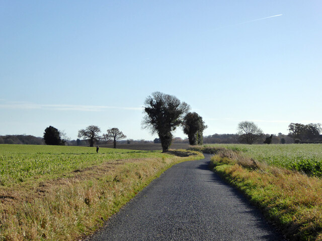
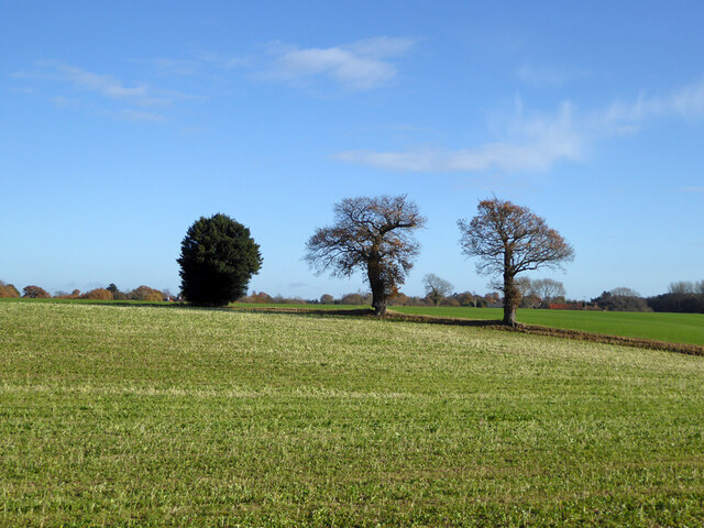
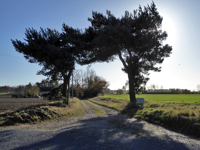
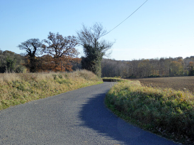
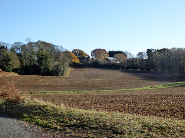
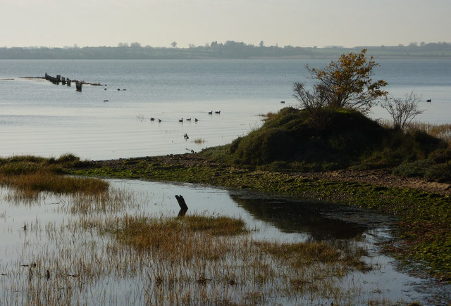
Broom Covert is a picturesque wood located in Suffolk, England. Situated in the east of the county, it forms part of the larger area known as the Suffolk Sandlings, which encompasses heathland, forest, and wetlands. Broom Covert itself is a dense woodland, predominantly composed of oak and birch trees. The forest floor is covered in a thick carpet of moss, ferns, and wildflowers, creating a vibrant and diverse ecosystem.
This woodland is home to a variety of wildlife species, including deer, foxes, badgers, and a plethora of bird species such as woodpeckers, owls, and warblers. The tranquil atmosphere and abundance of natural resources make Broom Covert a haven for nature enthusiasts and birdwatchers alike.
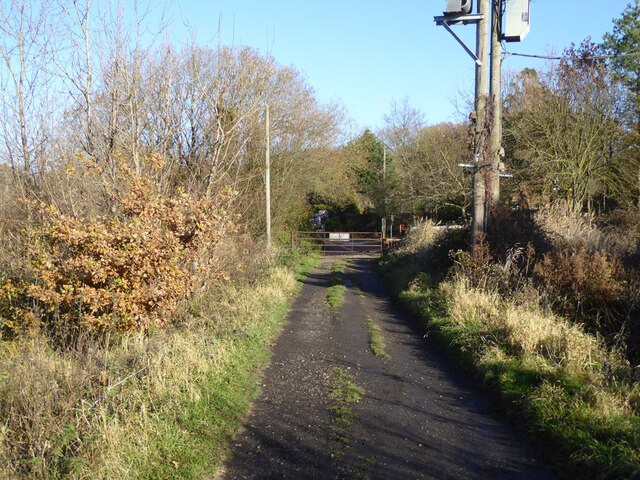
Visitors to Broom Covert can enjoy a range of activities, from leisurely walks along the well-maintained trails to bird spotting and photography. The wood is also popular among local schools and educational groups, who often organize nature walks and environmental workshops to educate students about the importance of conservation and biodiversity.
Broom Covert is easily accessible, with ample parking available nearby. The wood is open to the public year-round and is particularly stunning during the spring and summer months when the trees are in full bloom. Whether one seeks solitude and tranquility or wishes to immerse themselves in the wonders of nature, Broom Covert is a hidden gem waiting to be discovered in the heart of Suffolk.
If you have any feedback on the listing, please let us know in the comments section below.
Broom Covert Images
Images are sourced within 2km of 51.978577/1.1628401 or Grid Reference TM1735. Thanks to Geograph Open Source API. All images are credited.


Broom Covert is located at Grid Ref: TM1735 (Lat: 51.978577, Lng: 1.1628401)
Administrative County: Suffolk
District: Babergh
Police Authority: Suffolk
What 3 Words
///joyously.grins.chairs. Near Holbrook, Suffolk
Nearby Locations
Related Wikis

Holbrook, Suffolk
Holbrook is a village situated close to the northern shore of the estuary of the River Stour, in Suffolk, England. It is located on the Shotley Peninsula...

Royal Hospital School
The Royal Hospital School (usually shortened as "RHS" and historically nicknamed "The Cradle of the Navy") is a British co-educational fee-charging boarding...
Holbrook Academy, Suffolk
Holbrook Academy is a secondary school with academy status located in the village of Holbrook, 5 miles (8 km) south of Ipswich in the English county of...
Shotley Peninsula
The Shotley Peninsula is a rural area east of the A137 Ipswich-Colchester road located between the rivers Stour and Orwell in Suffolk, England. The peninsula...

Harkstead
Harkstead is a village and civil parish in the county of Suffolk, England. The village is located on the northern bank of the River Stour estuary at Holbrook...

Alton Water
Alton Water (or Alton Reservoir) is a manmade reservoir located on the Shotley peninsula. It is the largest in Suffolk, with a perimeter of over 8 miles...

Stutton, Suffolk
Stutton is a small village and a civil parish approximately seven miles south of Ipswich in Suffolk, United Kingdom, on the Shotley peninsula. The village...
Stour Estuary
Stour Estuary is a 2,523 hectare biological and geological Site of Special Scientific Interest which stretches from Manningtree to Harwich in Essex and...
Related Videos
Woolverstone Marina and Lodge Park: A wonderful staycation
Set in 22 acres of beautiful parkland on the River Orwell, Woolverstone Marina and Lodge Park is the perfect escape from the ...

Choose MDL Holidays for your idyllic UK Staycation
If you're looking for the perfect UK staycation then we have two stunning locations to choose from. Ideal any time of the year for ...

Our £5.00 per night Autumn Vanlife Camper Weekend Stopover Hike on the Shotley Peninsula
Our £5.00 per night Autumn, Vanlife, Camper Weekend on the Shotley Peninsula. We stayed at the lovely Vera's Motorhome Aire ...

Stour and Orwell Walk Stage 4 Pin Mill to Lower Holbrook 11.5m/ 18.5 km 8/12/19 #longdistancewalk
We embarked on Stage 4 of the Stour & Orwell walk, Pin Mill to Lower Holbrook 11.5 miles/ 18.5 Kilometers. This was a ...
Nearby Amenities
Located within 500m of 51.978577,1.1628401Have you been to Broom Covert?
Leave your review of Broom Covert below (or comments, questions and feedback).