Osier Carr

Wood, Forest in Norfolk North Norfolk

England

Osier Carr

Bessingham Manor Due to be demolished the Manor has an unusually interesting history. For more information read the shared description by Evelyn Simak.
Bessingham Manor Credit: Adrian S Pye

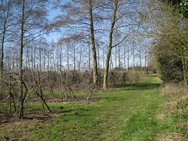
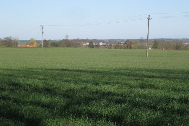
Osier Carr is a wood and forest located in Norfolk, England. Covering an area of approximately 200 acres, it is a significant natural reserve within the county. The woodland is primarily composed of different species of willow trees, known as osiers, which give the area its name.

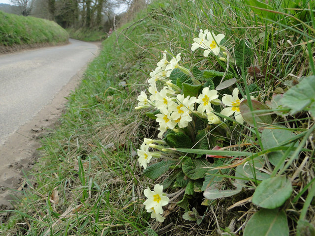
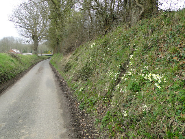
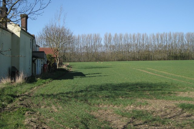
The forest is characterized by its dense vegetation, consisting of thick undergrowth and a variety of trees, including oak and birch. This diverse ecosystem provides a habitat for numerous species of wildlife, such as birds, mammals, and insects. It is particularly renowned for its bird population, attracting birdwatchers and nature enthusiasts from across the region.

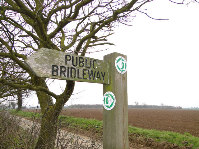
Osier Carr boasts a network of walking trails that wind through the woodland, allowing visitors to explore its beauty and tranquility. These paths offer stunning views of the surrounding countryside and provide an opportunity to observe the flora and fauna up close.

The woodland is managed by local conservation organizations, which strive to protect and preserve its natural heritage. Efforts are made to maintain the delicate balance of the ecosystem, ensuring the continued survival of the various species that call Osier Carr home.

In addition to its ecological significance, Osier Carr also serves as a recreational space for the local community. Visitors can enjoy picnicking, photography, or simply immersing themselves in the peaceful ambiance of this beautiful forest.

Overall, Osier Carr in Norfolk is a cherished natural reserve, offering visitors a chance to connect with nature and experience the inherent beauty of woodlands in England.

If you have any feedback on the listing, please let us know in the comments section below.
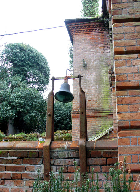
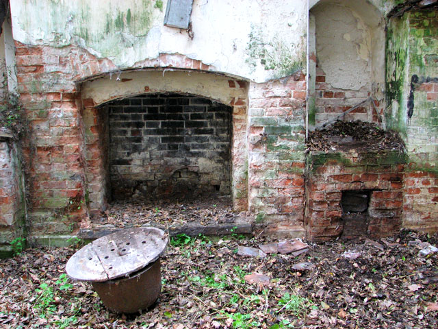
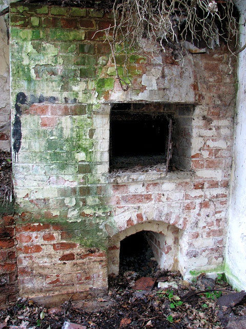
Osier Carr Images

Images are sourced within 2km of 52.868769/1.2272712 or Grid Reference TG1735. Thanks to Geograph Open Source API. All images are credited.

Bessingham Manor Due to be demolished the Manor has an unusually interesting history. For more information read the shared description by Evelyn Simak.
Bessingham Manor
Due to be demolished the Manor has an unusually interesting history. For more information read the shared description by Evelyn Simak.
Public Bridleway sign and ploughed fields beyond From Ringbank Lane, which can also be seen in the picture
Public Bridleway sign and ploughed fields beyond
From Ringbank Lane, which can also be seen in the picture
Ringbank Lane, Hanworth with primroses
Mud on Road, Ringbank Lane, Hanworth
Primroses on the bank of Ringbank Lane, Hanworth
Bessingham Manor - the bell It is still in its place but not for very much longer - the manor house is scheduled for demolition.
Bessingham Manor - the bell
It is still in its place but not for very much longer - the manor house is scheduled for demolition.
Bessingham Manor - the wash-house The coppers and fireplaces are still there but everything surrounding them has collapsed. The manor house is scheduled for demolition.
Bessingham Manor - the wash-house
The coppers and fireplaces are still there but everything surrounding them has collapsed. The manor house is scheduled for demolition.
Bessingham Manor - the chamber pot Found amongst the debris.  The manor house is scheduled for demolition.
Bessingham Manor - the chamber pot
Found amongst the debris. The manor house is scheduled for demolition.
Bessingham Manor - redundant doorknob The manor house is scheduled for demolition.
Bessingham Manor - redundant doorknob
The manor house is scheduled for demolition.
Bessingham Manor - crystal chandelier The manor house is scheduled for demolition but the crystal chandeliers are still hanging on.
Bessingham Manor - crystal chandelier
The manor house is scheduled for demolition but the crystal chandeliers are still hanging on.
Bessingham Manor and outbuildings The manor house is scheduled for demolition.
Bessingham Manor and outbuildings
The manor house is scheduled for demolition.
Dovecote by the entrance to Bessingham Manor (interior) This tower > <a title="https://www.geograph.org.uk/photo/2287318" href="https://www.geograph.org.uk/photo/2287318">Link</a> on a corner of the wall surrounding the manor house is described as having been a dovecote. I don't think that's correct: there is a very narrow spiral staircase inside going up all the way and according to the original plans it served as an obervatory.
Dovecote by the entrance to Bessingham Manor (interior)
This tower > Link on a corner of the wall surrounding the manor house is described as having been a dovecote. I don't think that's correct: there is a very narrow spiral staircase inside going up all the way and according to the original plans it served as an obervatory.
Dovecote by the entrance to Bessingham Manor This tower on a corner of the wall surrounding the manor house is described as having been a dovecote.  I don't think that's correct: there is a very narrow spiral staircase inside going up all the way > <a title="https://www.geograph.org.uk/photo/2334184" href="https://www.geograph.org.uk/photo/2334184">Link</a> - what purpose it served I do not know.
Dovecote by the entrance to Bessingham Manor
This tower on a corner of the wall surrounding the manor house is described as having been a dovecote. I don't think that's correct: there is a very narrow spiral staircase inside going up all the way > Link - what purpose it served I do not know.
Orchard, mid-March There is a surprising contrast between the lofty windbreaks of Grey Alder (Alnus incana) and the apple trees which appear to be growing on a dwarfing rootstock. Photographed at a junction of public footpaths.
Orchard, mid-March
There is a surprising contrast between the lofty windbreaks of Grey Alder (Alnus incana) and the apple trees which appear to be growing on a dwarfing rootstock. Photographed at a junction of public footpaths.
Edge of a field of grass Beyond the left-hand pole there is another large field; the land falls gently away towards the village of Thurgarton, northwest of Aldborough.
Edge of a field of grass
Beyond the left-hand pole there is another large field; the land falls gently away towards the village of Thurgarton, northwest of Aldborough.
Orchard southwest of Aldborough Across the field rows of poplar and Grey Alder shelter an orchard of dwarfed apple trees. According to OS  the buildings on the left are Manor Farm while Streetmap calls them Old School Cottages with Manor Farm to the north in TG1834: see <a href="https://www.geograph.org.uk/photo/2368507">TG1834 : 'Manor House', Thwaite Road</a> and <a href="https://www.geograph.org.uk/photo/2368519">TG1834 : Community bus at Manor Farm</a>
Orchard southwest of Aldborough
Across the field rows of poplar and Grey Alder shelter an orchard of dwarfed apple trees. According to OS the buildings on the left are Manor Farm while Streetmap calls them Old School Cottages with Manor Farm to the north in TG1834: see TG1834 : 'Manor House', Thwaite Road and TG1834 : Community bus at Manor Farm
Show me another place!

Osier Carr is located at Grid Ref: TG1735 (Lat: 52.868769, Lng: 1.2272712)

Administrative County: Norfolk

District: North Norfolk

Police Authority: Norfolk

What 3 Words

///pairings.jeeps.rollover. Near Sheringham, Norfolk

Related Wikis

Thurgarton, Norfolk

Thurgarton is a village and former civil parish, now in the parish of Aldborough and Thurgarton, in the North Norfolk district of the county of Norfolk...

All Saints Church, Thurgarton

All Saints' Church is a redundant Anglican church in the village of Thurgarton, Norfolk, England. It is recorded in the National Heritage List for England...

Aldborough, Norfolk

Aldborough is a village and former civil parish, now in the parish of Aldborough and Thurgarton (together with Thurgarton), in the North Norfolk district...

Wickmere

Wickmere is a village and a civil parish in the English county of Norfolk, 18.9 miles (30.4 km) north of Norwich, 7.3 miles (11.7 km) south-southwest...

Gur Beck

Gur Beck is a minor watercourse which rises in the north of the English county of Norfolk. It is a tributary of the Scarrow Beck. Its spring is a little...
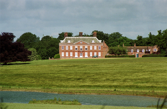
Hanworth Hall

Hanworth Hall is a large late 17th century country house some 500m to the south of the village of Hanworth, Norfolk, England. It is protected and recognised...

Bessingham

Bessingham is a village and former civil parish, now in the parish of Sustead, in the North Norfolk district of the English county of Norfolk. It lies...

Matlaske

Matlaske is a village and a civil parish in the English county of Norfolk. The village is 21.6 miles (34.8 km) North-north-west of Norwich, 9.3 miles...

Have you been to Osier Carr?

Leave your review of Osier Carr below (or comments, questions and feedback).