Avenue Wood
Wood, Forest in Kent Canterbury
England
Avenue Wood
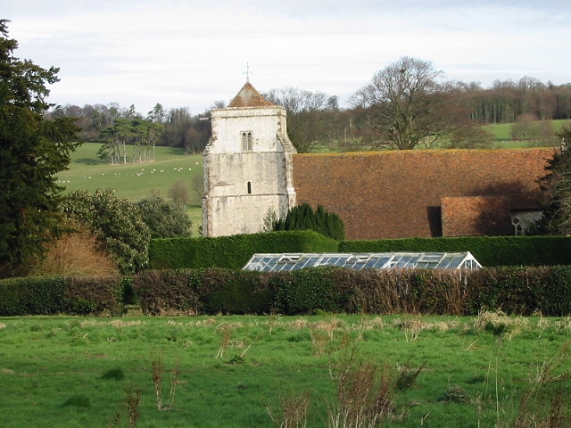
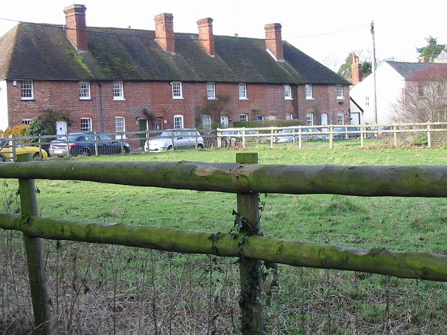
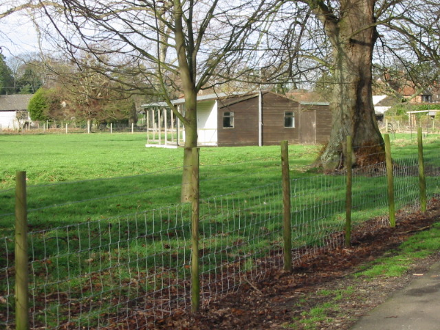
Avenue Wood, located in Kent, England, is a picturesque forest renowned for its natural beauty and serene atmosphere. Spanning an area of approximately 50 acres, the woodland is filled with an abundance of diverse flora and fauna, making it a popular destination for nature enthusiasts and hikers alike.
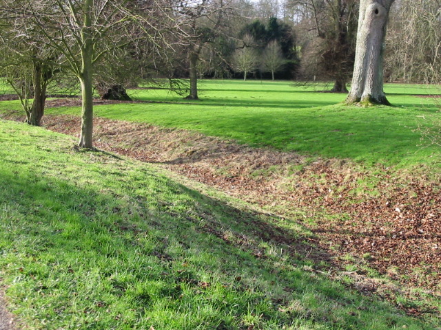
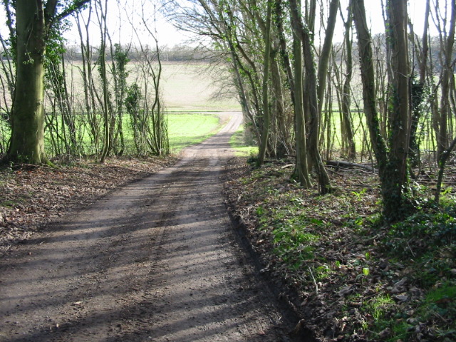
The wood is characterized by its dense canopy of tall trees, primarily consisting of oak, beech, and birch. These trees provide a protective shelter, creating a tranquil environment that is perfect for peaceful walks or birdwatching. The forest floor is carpeted with a rich assortment of wildflowers, including bluebells and primroses, which bloom in vibrant colors during the spring and summer months.
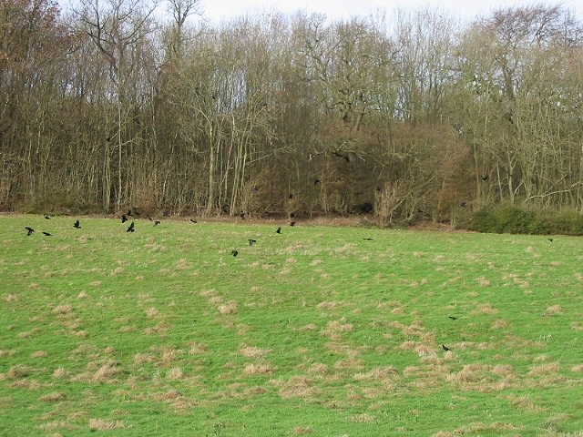
Avenue Wood is also home to a variety of wildlife, including deer, foxes, badgers, and numerous species of birds. Visitors may catch glimpses of these animals as they explore the forest, adding to the enchantment of the natural surroundings.
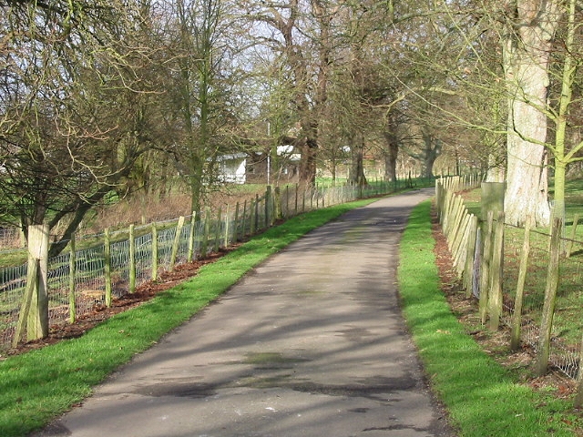
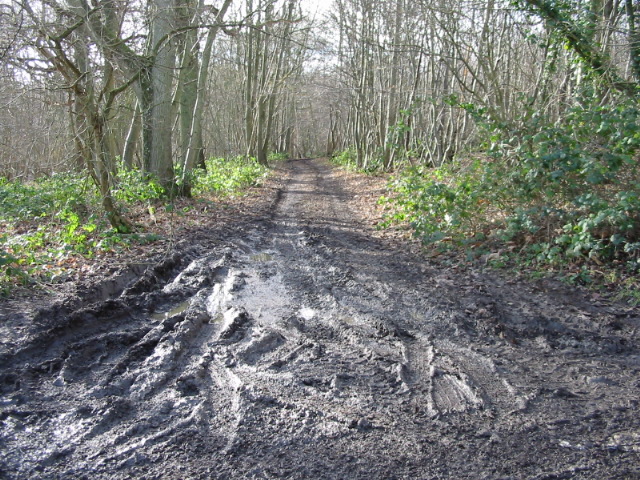
The forest is crisscrossed by a network of well-maintained footpaths and trails, allowing visitors to easily navigate the area and discover its hidden gems. These paths lead to tranquil ponds, where visitors can sit and enjoy the peaceful ambiance or observe the resident ducks and swans.
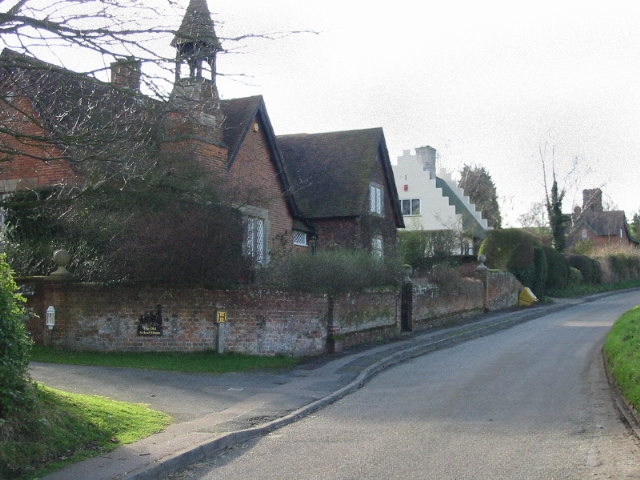
Avenue Wood is a popular destination for both locals and tourists seeking a respite from the hustle and bustle of everyday life. Its beauty and tranquility make it an ideal spot for picnics, nature photography, or simply unwinding amidst the serenity of nature.
If you have any feedback on the listing, please let us know in the comments section below.
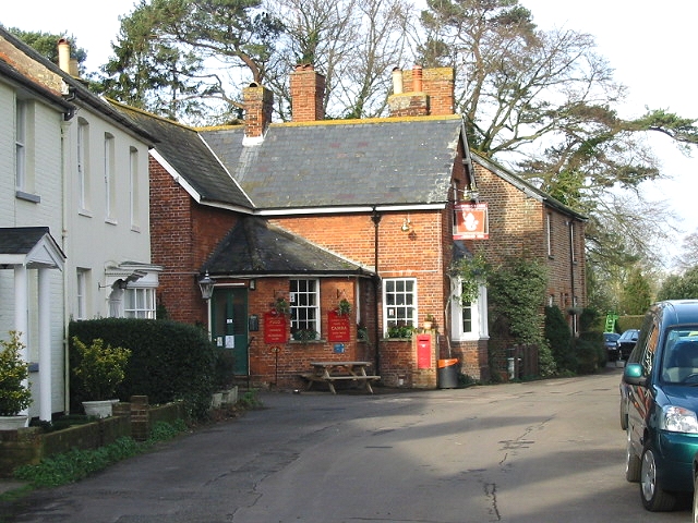
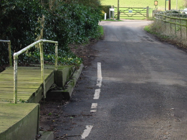
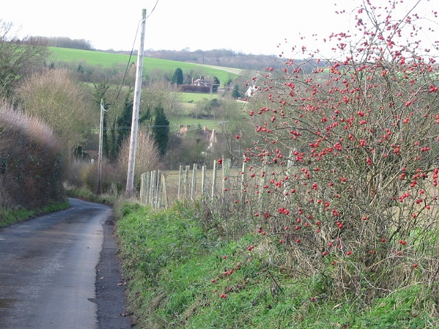
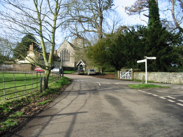
Avenue Wood Images
Images are sourced within 2km of 51.230407/1.1113639 or Grid Reference TR1752. Thanks to Geograph Open Source API. All images are credited.


Avenue Wood is located at Grid Ref: TR1752 (Lat: 51.230407, Lng: 1.1113639)
Administrative County: Kent
District: Canterbury
Police Authority: Kent
What 3 Words
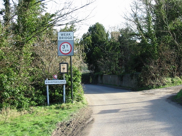
///barbarian.tilts.riskiest. Near Bridge, Kent
Nearby Locations
Related Wikis
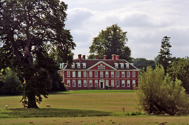
Bourne Park House
Bourne Park House is a Queen Anne style country house on Bourne Park Road, between Bishopsbourne and Bridge near Canterbury in Kent. Built in 1701, it...

Bourne Paddock
Bourne Paddock was a cricket ground at Bourne Park House, the seat of Sir Horatio Mann, at Bishopsbourne around 4 miles (6.4 km) south-east of Canterbury...

Bishopsbourne railway station
Bishopsbourne was a station on the Elham Valley Railway. It opened in 1889 and closed to passengers in 1940 and freight in 1947. == History == The station...

Pett Bottom (Canterbury)
Pett Bottom is a small settlement about five miles (8 km) south of Canterbury, Kent, England. The nearest village is Lower Hardres. It is in the civil...
Nearby Amenities
Located within 500m of 51.230407,1.1113639Have you been to Avenue Wood?
Leave your review of Avenue Wood below (or comments, questions and feedback).