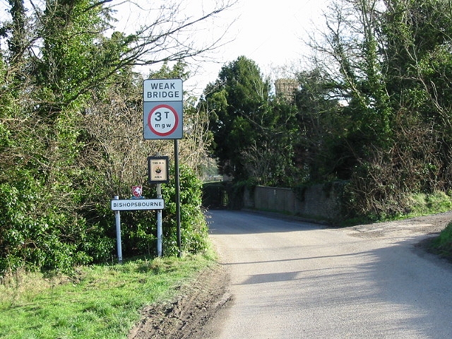
Bishopsbourne
Civil Parish in Kent Canterbury
England
Bishopsbourne
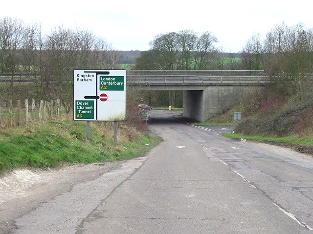
Bishopsbourne is a small civil parish located in the county of Kent, England. It is situated approximately four miles south-east of Canterbury and covers an area of approximately 4.5 square miles.
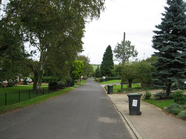
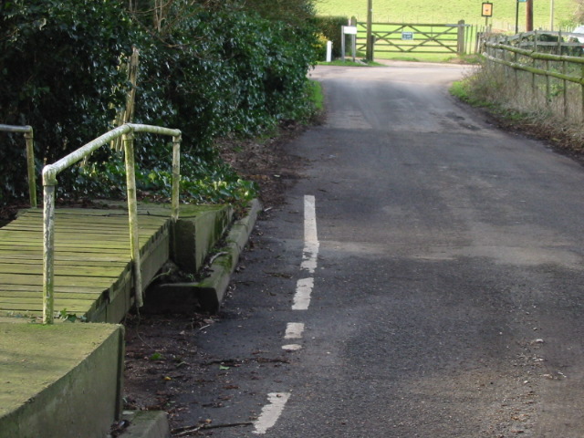
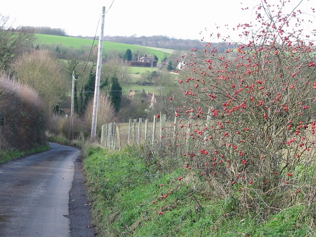
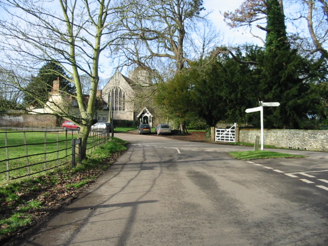
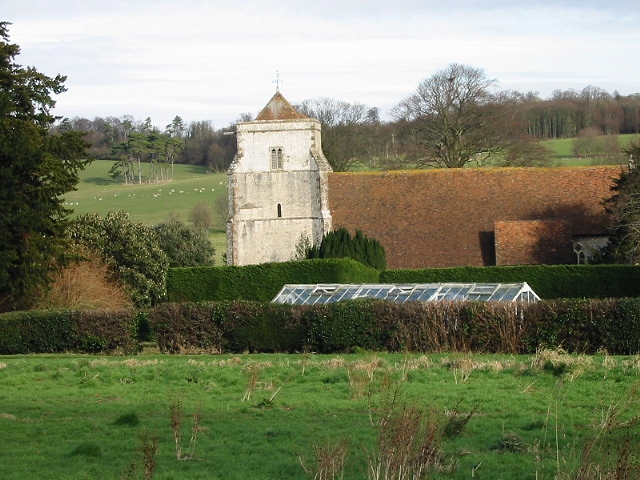
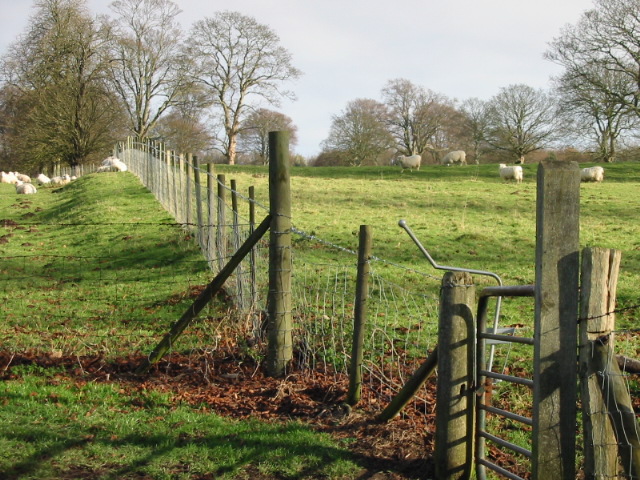
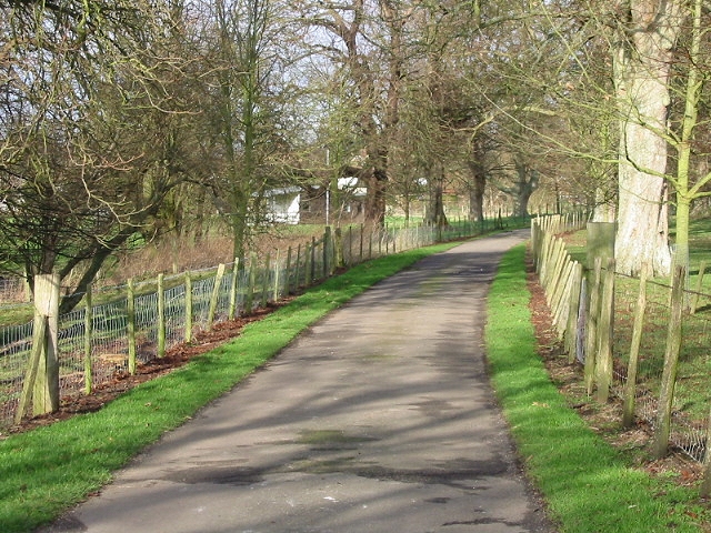
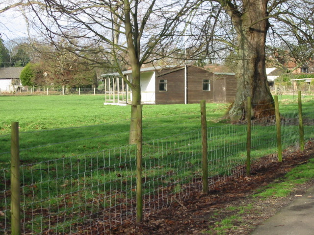
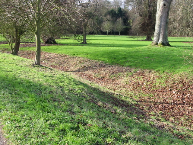
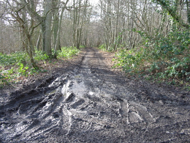
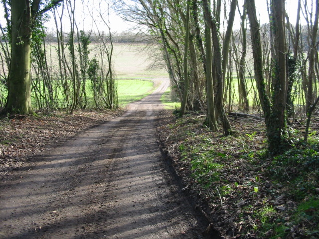
The village of Bishopsbourne is known for its picturesque and idyllic setting, surrounded by beautiful countryside and rolling hills. The local landscape is characterized by verdant meadows, woodland areas, and charming rural lanes. It is a popular destination for nature lovers and walkers who enjoy exploring the scenic surroundings.
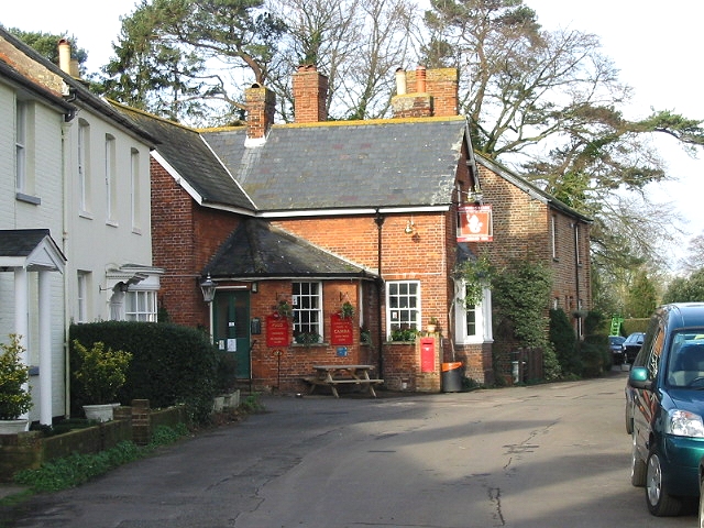
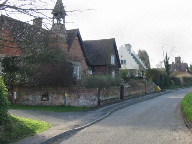
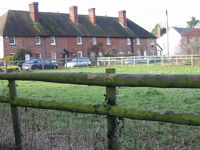
The village itself is small but vibrant, with a close-knit community. It features a range of traditional Kentish architecture, including many historic buildings and thatched cottages. St. Mary's Church, which dates back to the 13th century, is a prominent landmark and a testament to the area's rich history.
Bishopsbourne is also notable for its literary connections. The famous English author, Joseph Conrad, resided in the village during the early 20th century, and his former home, Oswalds, still stands today. The village has also inspired other literary works, including Charles Dickens' "David Copperfield," as he was a frequent visitor to the area.
In terms of amenities, Bishopsbourne has a village hall, a primary school, and a pub, providing essential services to the local community. It also benefits from excellent transport links, with easy access to the nearby city of Canterbury and its range of facilities.
Overall, Bishopsbourne offers a charming and peaceful rural lifestyle, combined with convenient proximity to larger towns and cities, making it an attractive place to live or visit in the heart of the Kentish countryside.
If you have any feedback on the listing, please let us know in the comments section below.
Bishopsbourne Images
Images are sourced within 2km of 51.226324/1.117137 or Grid Reference TR1752. Thanks to Geograph Open Source API. All images are credited.


Bishopsbourne is located at Grid Ref: TR1752 (Lat: 51.226324, Lng: 1.117137)
Administrative County: Kent
District: Canterbury
Police Authority: Kent
What 3 Words
///civic.aliens.fortified. Near Bridge, Kent
Nearby Locations
Related Wikis

Bishopsbourne railway station
Bishopsbourne was a station on the Elham Valley Railway. It opened in 1889 and closed to passengers in 1940 and freight in 1947. == History == The station...

Bourne Paddock
Bourne Paddock was a cricket ground at Bourne Park House, the seat of Sir Horatio Mann, at Bishopsbourne around 4 miles (6.4 km) south-east of Canterbury...
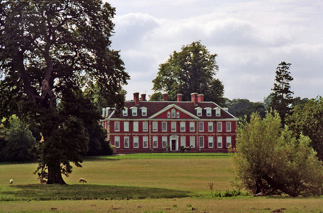
Bourne Park House
Bourne Park House is a Queen Anne style country house on Bourne Park Road, between Bishopsbourne and Bridge near Canterbury in Kent. Built in 1701, it...

Bishopsbourne
Bishopsbourne is a mostly rural and wooded village and civil parish in Kent, England. It has two short developed sections of streets at the foot of the...

Pett Bottom (Canterbury)
Pett Bottom is a small settlement about five miles (8 km) south of Canterbury, Kent, England. The nearest village is Lower Hardres. It is in the civil...

Marley, Canterbury
Marley is a scattered hamlet in the civil parish of Kingston, in the county of Kent, England. The hamlet is on a minor road about 1 mile (1.6 km) southwest...

Bridge, Kent
Bridge is a village and civil parish near Canterbury in Kent, South East England. Bridge village is in the Nailbourne valley in a rural setting on the...
Kingston, Kent
Kingston is a village and civil parish between Canterbury and Dover in Kent, South East England. The parish contains the hamlet of Marley. == History... ==
Nearby Amenities
Located within 500m of 51.226324,1.117137Have you been to Bishopsbourne?
Leave your review of Bishopsbourne below (or comments, questions and feedback).