Buck Wood
Wood, Forest in Suffolk Babergh
England
Buck Wood
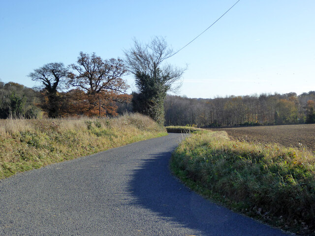
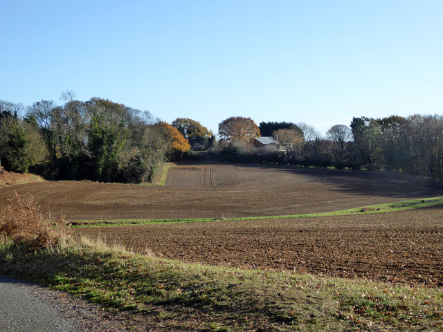
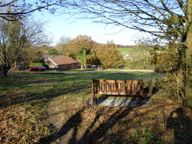
Buck Wood, Suffolk (also known as Wood or Forest) is a picturesque woodland located in the county of Suffolk, England. Spanning an area of approximately 100 acres, it is nestled within the scenic countryside, offering visitors a tranquil and natural environment to explore.
The wood is primarily composed of native broadleaf trees, including oak, ash, beech, and birch, which create a dense canopy providing shade and shelter to a variety of wildlife. The forest floor is covered in a thick carpet of moss, ferns, and wildflowers, adding to the area's beauty and biodiversity.
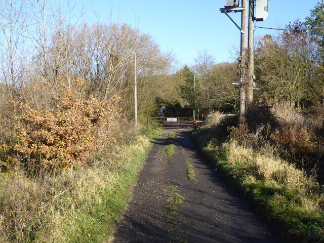
Buck Wood is a haven for wildlife enthusiasts, as it is home to a diverse range of fauna. Visitors may be lucky enough to spot deer, foxes, badgers, and numerous species of birds, including woodpeckers, owls, and various songbirds. The wood's isolation from major roads and human activity contributes to the preservation of its natural habitat.
For nature lovers, Buck Wood offers several walking trails and footpaths that wind through the forest, providing an opportunity to immerse oneself in the peaceful surroundings. These paths are well-maintained and suitable for all ages and abilities. Additionally, the wood is equipped with informative signposts and interpretation boards, educating visitors about the flora and fauna found within the area.
Whether it's for a leisurely stroll, birdwatching, or simply seeking solace in nature, Buck Wood, Suffolk is a hidden gem that offers a serene escape from the hustle and bustle of everyday life.
If you have any feedback on the listing, please let us know in the comments section below.
Buck Wood Images
Images are sourced within 2km of 51.974766/1.17179 or Grid Reference TM1735. Thanks to Geograph Open Source API. All images are credited.


Buck Wood is located at Grid Ref: TM1735 (Lat: 51.974766, Lng: 1.17179)
Administrative County: Suffolk
District: Babergh
Police Authority: Suffolk
What 3 Words
///hatter.accordion.issues. Near Holbrook, Suffolk
Nearby Locations
Related Wikis

Harkstead
Harkstead is a village and civil parish in the county of Suffolk, England. The village is located on the northern bank of the River Stour estuary at Holbrook...

Holbrook, Suffolk
Holbrook is a village situated close to the northern shore of the estuary of the River Stour, in Suffolk, England. It is located on the Shotley Peninsula...

Royal Hospital School
The Royal Hospital School (usually shortened as "RHS" and historically nicknamed "The Cradle of the Navy") is a British co-educational fee-charging boarding...
Holbrook Academy, Suffolk
Holbrook Academy is a secondary school with academy status located in the village of Holbrook, 5 miles (8 km) south of Ipswich in the English county of...
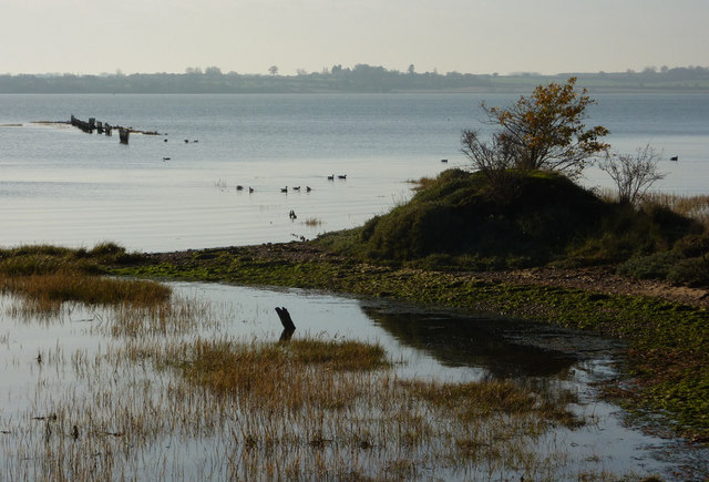
Stour Estuary
Stour Estuary is a 2,523 hectare biological and geological Site of Special Scientific Interest which stretches from Manningtree to Harwich in Essex and...
Shotley Peninsula
The Shotley Peninsula is a rural area east of the A137 Ipswich-Colchester road located between the rivers Stour and Orwell in Suffolk, England. The peninsula...

Alton Water
Alton Water (or Alton Reservoir) is a manmade reservoir located on the Shotley peninsula. It is the largest in Suffolk, with a perimeter of over 8 miles...

Stutton, Suffolk
Stutton is a small village and a civil parish approximately seven miles south of Ipswich in Suffolk, United Kingdom, on the Shotley peninsula. The village...
Nearby Amenities
Located within 500m of 51.974766,1.17179Have you been to Buck Wood?
Leave your review of Buck Wood below (or comments, questions and feedback).