Burnt Allotment
Wood, Forest in Norfolk Broadland
England
Burnt Allotment
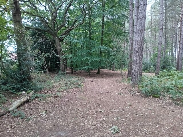
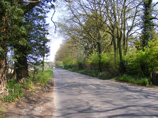
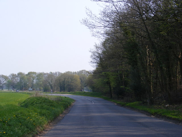
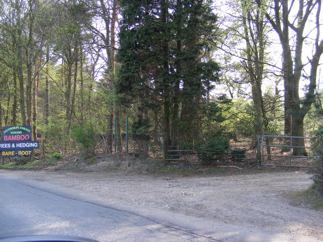
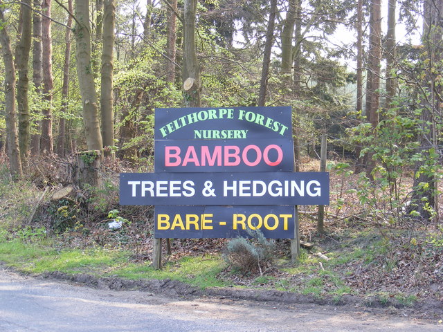
Burnt Allotment is a woodland area located in Norfolk, England. It is a part of the larger Norfolk Forest, known for its natural beauty and diverse wildlife. The woodland covers an area of approximately 20 acres and is predominantly made up of deciduous trees such as oak, birch, and beech.
The name "Burnt Allotment" is believed to have originated from a historical event where a fire swept through the area, leaving the land scorched. However, this event has not impacted the forest's ability to regenerate and thrive.
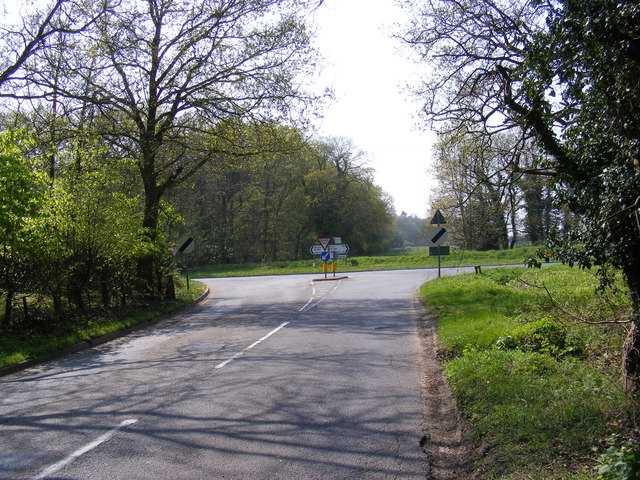
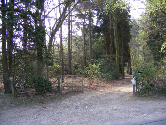
The woodland is a popular destination for nature enthusiasts, hikers, and birdwatchers. It offers a tranquil environment with well-maintained paths and trails, making it easily accessible to visitors. Numerous species of birds can be spotted here, including woodpeckers, nuthatches, and various songbirds.
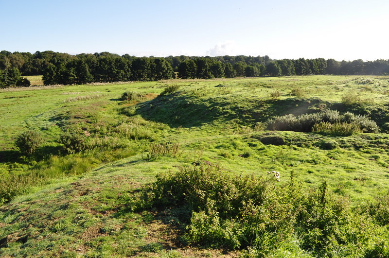
Wildlife is abundant in Burnt Allotment, with sightings of deer, rabbits, and squirrels being common. The forest floor is covered in a rich carpet of ferns, wildflowers, and mosses, providing a diverse habitat for insects and small mammals.
The management of Burnt Allotment is overseen by local conservation organizations, ensuring the protection and preservation of its natural features. Regular maintenance work is carried out to control invasive species and promote the growth of native flora.
Overall, Burnt Allotment is a picturesque woodland area in Norfolk, offering visitors the opportunity to immerse themselves in nature and experience the beauty of a thriving forest ecosystem.
If you have any feedback on the listing, please let us know in the comments section below.
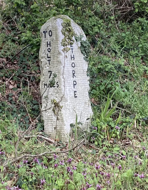
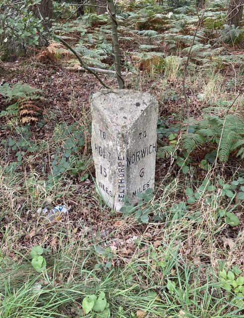
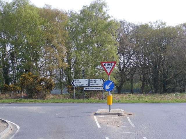
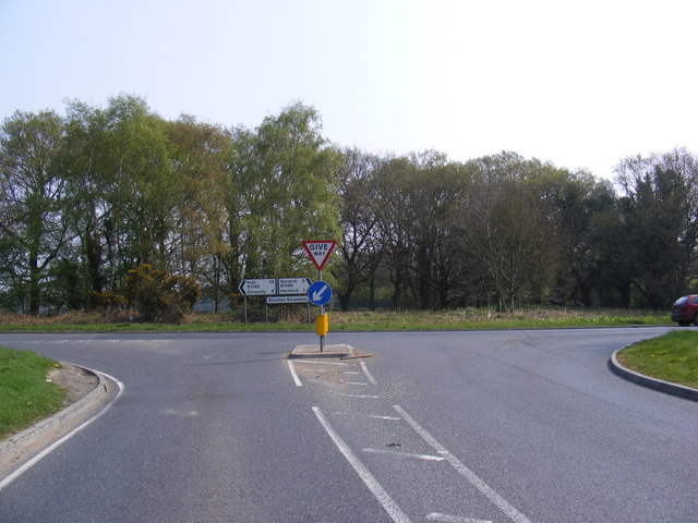
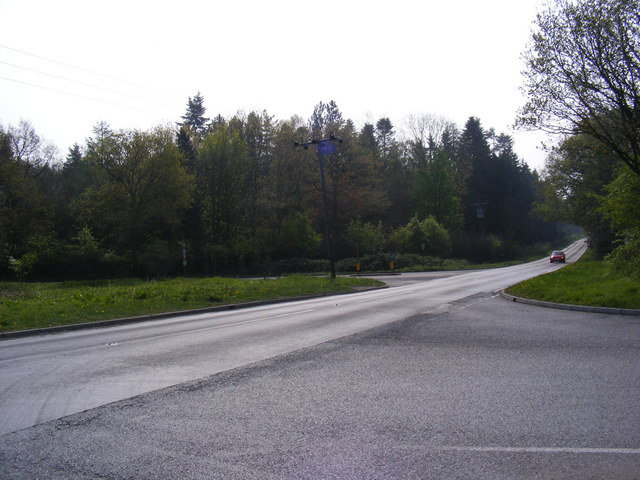
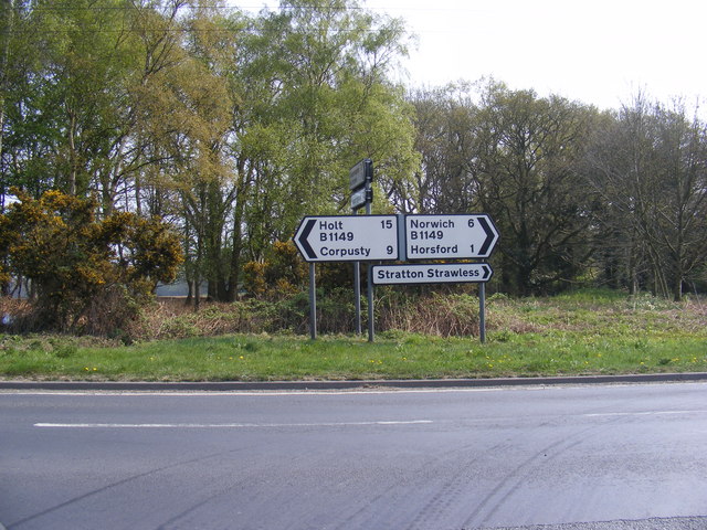
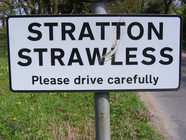
Burnt Allotment Images
Images are sourced within 2km of 52.716879/1.2253693 or Grid Reference TG1718. Thanks to Geograph Open Source API. All images are credited.
Burnt Allotment is located at Grid Ref: TG1718 (Lat: 52.716879, Lng: 1.2253693)
Administrative County: Norfolk
District: Broadland
Police Authority: Norfolk
What 3 Words
///distilled.kitchens.smoothly. Near Horsford, Norfolk
Nearby Locations
Related Wikis

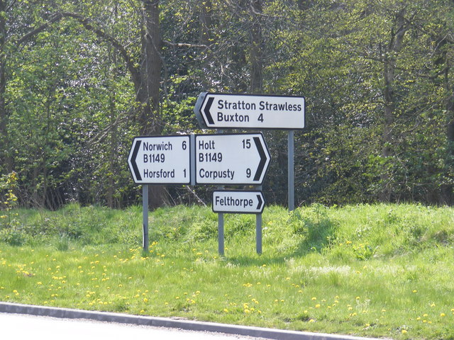
Felthorpe
Felthorpe is a village and civil parish in the English county of Norfolk. The village is located 11 miles (18 km) east of Dereham and 7.1 miles (11.4 km...

Horsford
Horsford is a village six miles north of Norwich, England which is surrounded by the Horsford Forest and is named after the dried up section of the River...

1966 Felthorpe Trident crash
On 3 June 1966, a newly built Hawker Siddeley Trident jetliner crashed during a pre-delivery test flight near the village of Felthorpe, Norfolk, England...

Swannington Upgate Common
Swannington Upgate Common is a 20.5-hectare (51-acre) biological Site of Special Scientific Interest north-west of Norwich in Norfolk.This site has varied...

Haveringland
Haveringland is a village and civil parish in the English county of Norfolk about 8 miles (13 km) north-west of Norwich. It covers an area of 8.91 km2...

St Faith's and Aylsham Rural District
St Faith's and Aylsham Rural Districts were adjacent rural districts in Norfolk, England from 1894 to 1935.They were formed under the Local Government...
Horsford Castle
Horsford Castle is situated in the village of Horsford, 6 miles to the north of the city of Norwich. == Details == Before the Norman conquest of England...

Hevingham
Hevingham is a village and civil parish in the Broadland district of the English county of Norfolk. Situated between the A140 road Norwich to Cromer road...
Nearby Amenities
Located within 500m of 52.716879,1.2253693Have you been to Burnt Allotment?
Leave your review of Burnt Allotment below (or comments, questions and feedback).