Holbrook
Civil Parish in Derbyshire Amber Valley
England
Holbrook

Holbrook is a civil parish located in Derbyshire, England. It lies approximately 7 miles northeast of Derby city centre and has a population of around 1,500 people. The village is situated on a hillside, offering picturesque views of the surrounding countryside.
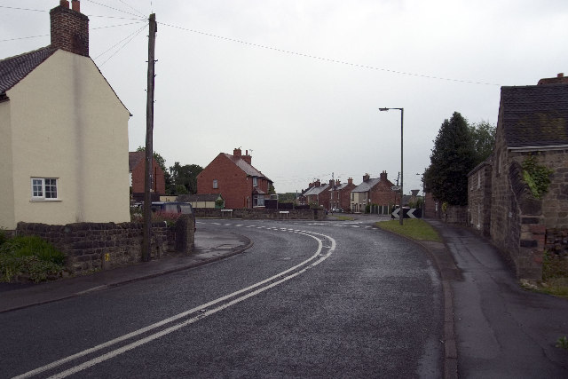
Holbrook is known for its charming and traditional English village atmosphere. It has a range of beautiful stone-built houses, many dating back to the 17th and 18th centuries, giving the village a historic feel. The parish also includes the hamlet of Holbrook Moor, located to the south.
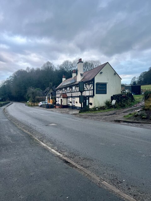
The village has a strong sense of community, with various amenities and social activities available to residents. These include a primary school, a village hall, a post office, and a local shop. The village also boasts two pubs, The Spotted Cow and The Dead Poet's Inn, which are popular gathering spots for locals and visitors alike.
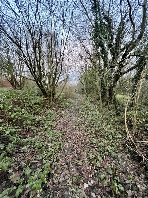
The surrounding countryside provides ample opportunities for outdoor activities such as walking, hiking, and cycling. The nearby Holbrook Moor Wood is a designated Site of Special Scientific Interest, known for its diverse range of flora and fauna.
Holbrook is well-connected to surrounding areas by road, with easy access to the A38 and A52. The village also has good public transport links, with regular bus services to Derby and other nearby towns.
Overall, Holbrook is a peaceful and picturesque village that offers a close-knit community, stunning countryside views, and a range of amenities for residents and visitors to enjoy.
If you have any feedback on the listing, please let us know in the comments section below.
Holbrook Images
Images are sourced within 2km of 52.997757/-1.466071 or Grid Reference SK3544. Thanks to Geograph Open Source API. All images are credited.


Holbrook is located at Grid Ref: SK3544 (Lat: 52.997757, Lng: -1.466071)
Administrative County: Derbyshire
District: Amber Valley
Police Authority: Derbyshire
What 3 Words
///flats.nobody.learn. Near Kilburn, Derbyshire
Related Wikis

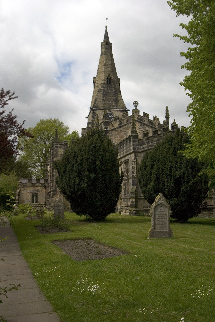
St Michael's Church, Holbrook
St Michael's Church, Holbrook is a Grade II listed parish church in the Church of England in Holbrook, Derbyshire. == History == The church foundation...

Holbrook, Derbyshire
Holbrook is a village in Derbyshire at the southern end of the Pennines around five miles north of Derby, England. The population of the civil parish at...

Holly Bush Inn, Makeney
The Holly Bush Inn is a Grade II listed public house at 2 Holly Bush Lane, Makeney, Derbyshire, DE56 0RX. It is a family run pub.It is on the Campaign...

Milford Hydro
Milford Hydro is the name given to a hydro-electric power plant built on the River Derwent in Milford, Derbyshire. The original electrical power plant...
Holbrook Sports F.C.
Holbrook Sports Football Club is a football club based in Holbrook, near Derby, Derbyshire, England. They are currently members of the Central Midlands...

Holy Trinity Church, Milford
Holy Trinity Church, Milford is a former Grade II listed parish church in the Church of England situated in Milford, Derbyshire. == History == The architect...
Milford, Derbyshire
Milford is a village in Derbyshire, England, on the River Derwent, between Duffield and Belper on the A6 trunk road. Until the end of the 18th century...
Hopping Hill
Hopping Hill is an area in Milford, Derbyshire, England. It consists mainly of 19th century terraced housing, built by the Strutt family to house workers...
Nearby Amenities
Located within 500m of 52.997757,-1.466071Have you been to Holbrook?
Leave your review of Holbrook below (or comments, questions and feedback).