Aldsworth

Settlement in Gloucestershire Cotswold

England

Aldsworth

Old Milestone, B4425 nr Aldsworth About ½ a mile West of the village. In parish of ALDSWORTH (COTSWOLD District), East of Aldsworth. Bibury marker, erected by the Bibury & Dancy's Fancy turnpike trust in the 19th century.

Inscription once read: Burford 7 / Cirencester 10
Lost benchmark representing 428.5 ft ASL (in 1900).

Milestone Society National ID: GL_CIBF10
Old Milestone, B4425 nr Aldsworth Credit: Mr Red

Aldsworth is a small village located in the county of Gloucestershire, England. Situated in the Cotswolds, it lies about 6 miles north of the town of Burford and is surrounded by picturesque countryside. The village is part of the Cotswold District and falls within the civil parish of Alvescot.

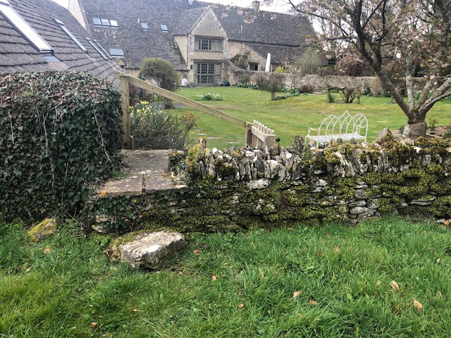
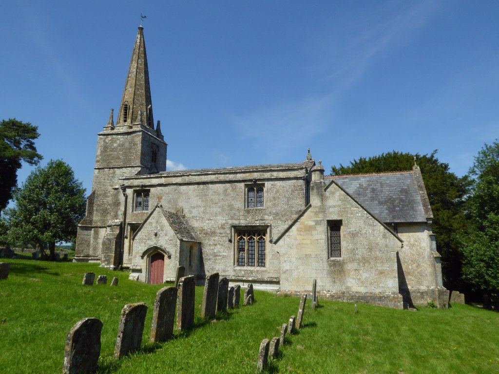
With a population of around 250 residents, Aldsworth is a close-knit community that exudes a tranquil and charming atmosphere. The architecture of the village reflects its rich history, with many traditional Cotswold stone cottages and buildings scattered throughout.

Despite its small size, Aldsworth offers a range of amenities for its residents. The village is home to a local pub, providing a gathering place for locals and visitors alike. Additionally, a village hall serves as a hub for social events and community activities.

Surrounded by rolling hills and beautiful countryside, Aldsworth is a haven for nature lovers and outdoor enthusiasts. The area offers numerous walking and cycling trails, allowing residents and visitors to explore the stunning Cotswold landscape. Nearby attractions include the Cotswold Wildlife Park and Gardens, which is just a short drive away.

Overall, Aldsworth is a tranquil and idyllic village that offers a peaceful retreat from the hustle and bustle of urban life. Its rich history, stunning surroundings, and strong sense of community make it a truly special place to visit or call home.

If you have any feedback on the listing, please let us know in the comments section below.
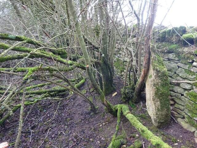
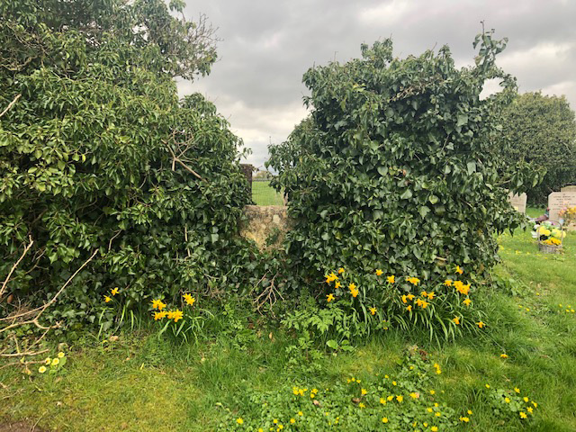
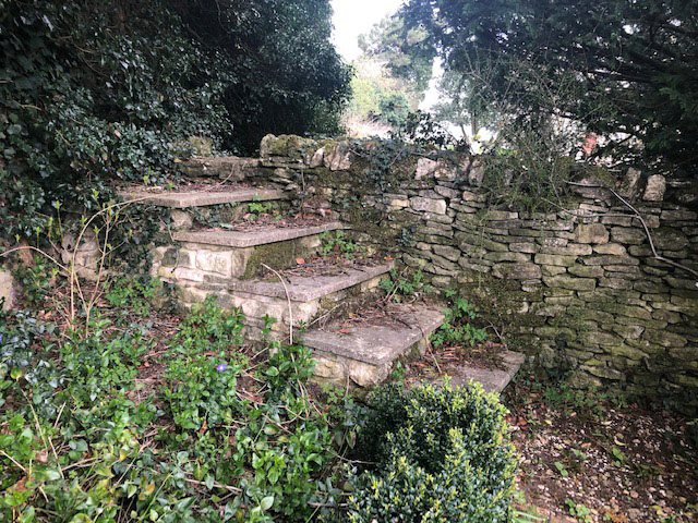
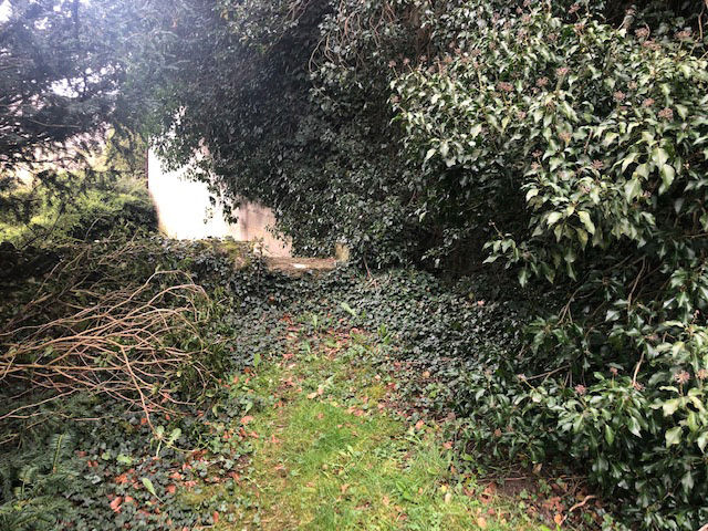
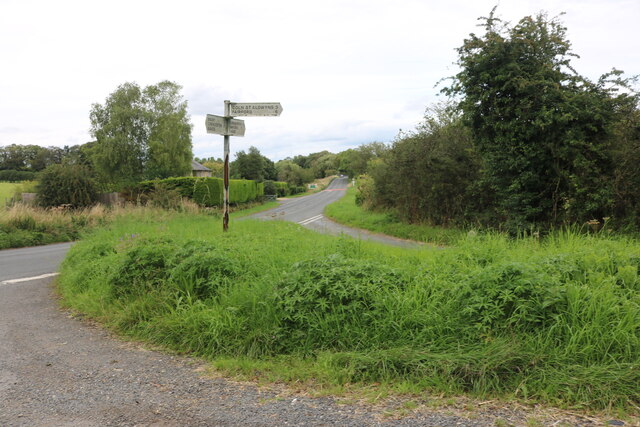
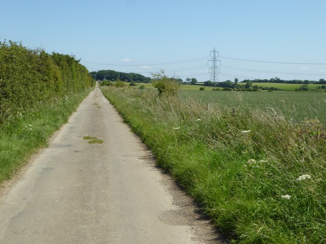
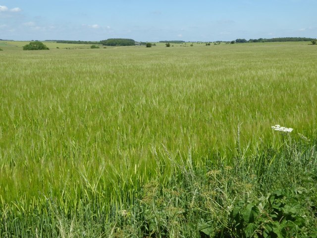
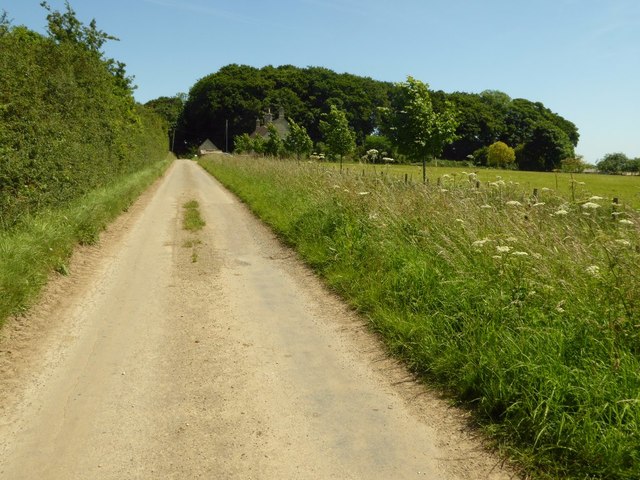
Aldsworth Images

Images are sourced within 2km of 51.789336/-1.7768988 or Grid Reference SP1510. Thanks to Geograph Open Source API. All images are credited.

Old Milestone, B4425 nr Aldsworth About ½ a mile West of the village. In parish of ALDSWORTH (COTSWOLD District), East of Aldsworth. Bibury marker, erected by the Bibury & Dancy's Fancy turnpike trust in the 19th century.

Inscription once read: Burford 7 / Cirencester 10
Lost benchmark representing 428.5 ft ASL (in 1900).

Milestone Society National ID: GL_CIBF10
Old Milestone, B4425 nr Aldsworth
About ½ a mile West of the village. In parish of ALDSWORTH (COTSWOLD District), East of Aldsworth. Bibury marker, erected by the Bibury & Dancy's Fancy turnpike trust in the 19th century. Inscription once read: Burford 7 / Cirencester 10 Lost benchmark representing 428.5 ft ASL (in 1900). Milestone Society National ID: GL_CIBF10
Stone Stile, Aldsworth Not on a registered footpath, in the churchyard wall of St Bartholomew's.
Stone Stile, Aldsworth
Not on a registered footpath, in the churchyard wall of St Bartholomew's.
Stone Stile, Aldsworth A private stile to the church storeyard from the graveyard. St Bartholomew's. Looking towards the church, the view SE back is <a href="https://www.geograph.org.uk/photo/7299535">SP1509 : Stone Stile, Aldsworth</a>.
Stone Stile, Aldsworth
A private stile to the church storeyard from the graveyard. St Bartholomew's. Looking towards the church, the view SE back is SP1509 : Stone Stile, Aldsworth.
Stone Stile, Aldsworth A private stile to the church storeyard from the graveyard. St Bartholomew's. Looking SE, the view NW towards the church is <a href="https://www.geograph.org.uk/photo/7299530">SP1509 : Stone Stile, Aldsworth</a>.
Stone Stile, Aldsworth
A private stile to the church storeyard from the graveyard. St Bartholomew's. Looking SE, the view NW towards the church is SP1509 : Stone Stile, Aldsworth.
Stone Stile, Aldsworth A private stile from the large divided house made to look like a Tithe Barn, and St Bartholomews.
Stone Stile, Aldsworth
A private stile from the large divided house made to look like a Tithe Barn, and St Bartholomews.
Slow Hedgehogs Crossing road sign near Swyre Farm (1) This road sign is located on the road between Aldsworth and Coln St Alwyns. Swyre Farm can be seen in the background.
Slow Hedgehogs Crossing road sign near Swyre Farm (1)
This road sign is located on the road between Aldsworth and Coln St Alwyns. Swyre Farm can be seen in the background.
Slow Hedgehogs Crossing road sign near Swyre Farm (2) This road sign is located by the road near Swyre Farm GL54 3RE between Aldsworth and Coln St Aldwyns.
Slow Hedgehogs Crossing road sign near Swyre Farm (2)
This road sign is located by the road near Swyre Farm GL54 3RE between Aldsworth and Coln St Aldwyns.
New Cottage
New Cottage
Junction on the B4425, Aldsworth
The road to Aldsworth From Coln St Aldwyns
The road to Aldsworth
From Coln St Aldwyns
Fields in Aldsworth
Fields in Aldsworth
Approaching Aldsworth
Field in Aldsworth
Field in Aldsworth
Hay bale and old shed Hay bale and old shed opposite Swyre Farm near Aldsworth.
Hay bale and old shed
Hay bale and old shed opposite Swyre Farm near Aldsworth.
Field entrance Field entrance opposite Swyre Farm near Aldsworth.
Field entrance
Field entrance opposite Swyre Farm near Aldsworth.
Road to Ladbarrow Farm A no through road from the village of Aldsworth giving access to Ladbarrow Farm.
Road to Ladbarrow Farm
A no through road from the village of Aldsworth giving access to Ladbarrow Farm.
A large barley field A large barley field to the east of Aldsworth.
A large barley field
A large barley field to the east of Aldsworth.
Approaching Ladbarrow Farm Ladbarrow Farm is at the end of a no through road to the east of the village of Aldsworth.
Approaching Ladbarrow Farm
Ladbarrow Farm is at the end of a no through road to the east of the village of Aldsworth.
Show me another place!

Aldsworth is located at Grid Ref: SP1510 (Lat: 51.789336, Lng: -1.7768988)

Administrative County: Gloucestershire

District: Cotswold

Police Authority: Gloucestershire

What 3 Words

///compiler.depravity.panicking. Near Northleach, Gloucestershire

Nearby Locations

Aldsworth Aldsworth

Related Wikis

Nearby Amenities

Located within 500m of 51.789336,-1.7768988
Aldsworth
Created By: Potlatch 0.9c
Place: village
Lat/Long: 51.7895416/-1.7747076
Bus Stop
Wall Farm
Bus: yes
Naptan AtcoCode: 1600GL5461
Naptan Bearing: SW
Naptan CommonName: Wall Farm
Naptan NaptanCode: glogdpma
Naptan Street: Northleach Rd
Naptan Verified: no
Public Transport: platform
Source: naptan_import
Lat/Long: 51.790356/-1.7794285
Bus Stop
Wall Farm
Bus: yes
Naptan AtcoCode: 1600GL5462
Naptan Bearing: SE
Naptan CommonName: Wall Farm
Naptan NaptanCode: glogdpmt
Naptan Street: Northleach Rd
Naptan Verified: no
Public Transport: platform
Source: naptan_import
Lat/Long: 51.790445/-1.7789496
Bus Stop
The Green
Bus: yes
Naptan AtcoCode: 1600GL67
Naptan Bearing: NE
Naptan CommonName: The Green
Naptan NaptanCode: glogdtag
Naptan Street: Sherborne Rd
Naptan Verified: no
Public Transport: platform
Source: naptan_import
Lat/Long: 51.7888797/-1.7737668
Bus Stop
The Green
Bus: yes
Naptan AtcoCode: 1600GL68
Naptan Bearing: SW
Naptan CommonName: The Green
Naptan Indicator: Opp
Naptan NaptanCode: glogdtam
Naptan Street: Sherborne Rd
Naptan Verified: no
Public Transport: platform
Source: naptan_import
Lat/Long: 51.7888436/-1.7736945
Bus Stop
Blackpitts Farm Lane
Bus: yes
Naptan AtcoCode: 1600GL69
Naptan Bearing: N
Naptan CommonName: Blackpitts Farm Lane
Naptan NaptanCode: glogdtap
Naptan Street: Sherborne Rd
Naptan Verified: no
Public Transport: platform
Source: naptan_import
Lat/Long: 51.7907315/-1.7735545
Bus Stop
Blackpitts Farm Lane
Bus: yes
Naptan AtcoCode: 1600GL70
Naptan Bearing: S
Naptan CommonName: Blackpitts Farm Lane
Naptan NaptanCode: glogdtat
Naptan Street: Sherborne Rd
Naptan Verified: no
Public Transport: platform
Source: naptan_import
Lat/Long: 51.7907583/-1.7734529
Bus Stop
New Row
Bus: yes
Naptan AtcoCode: 1600GLC379
Naptan Bearing: N
Naptan CommonName: New Row
Naptan NaptanCode: glogdtaw
Naptan Street: Sherborne Rd
Naptan Verified: no
Public Transport: platform
Source: naptan_import
Lat/Long: 51.7899128/-1.7732831
Bus Stop
New Row
Bus: yes
Naptan AtcoCode: 1600GLC380
Naptan Bearing: S
Naptan CommonName: New Row
Naptan NaptanCode: glogdtdg
Naptan Street: Sherborne Rd
Naptan Verified: no
Public Transport: platform
Source: naptan_import
Lat/Long: 51.7899486/-1.773196
Bus Stop
Green Garden
Bus: yes
Naptan AtcoCode: 1600GLC435
Naptan Bearing: N
Naptan CommonName: Green Garden
Naptan NaptanCode: glogdpwp
Naptan Street: The Green
Naptan Verified: no
Public Transport: platform
Source: naptan_import
Lat/Long: 51.7888447/-1.7742744
Bus Stop
Green Garden
Bus: yes
Naptan AtcoCode: 1600GLC436
Naptan Bearing: S
Naptan CommonName: Green Garden
Naptan Indicator: Opp
Naptan NaptanCode: glogdpwt
Naptan Street: The Green
Naptan Verified: no
Public Transport: platform
Source: naptan_import
Lat/Long: 51.7888535/-1.7741874
Barrier: stile
Lat/Long: 51.7891738/-1.7723303
Pub
The Sherborne Arms
Fhrs Id: 59849
Lat/Long: 51.7884244/-1.7712986
Parking
Parking: layby
Lat/Long: 51.7877972/-1.7730756
The data included in this document is from www.openstreetmap.org. The data is made available under ODbL.

Have you been to Aldsworth?

Leave your review of Aldsworth below (or comments, questions and feedback).