Aldsworth

Civil Parish in Gloucestershire Cotswold

England

Aldsworth

Old Milestone, B4425 nr Aldsworth About ½ a mile West of the village. In parish of ALDSWORTH (COTSWOLD District), East of Aldsworth. Bibury marker, erected by the Bibury & Dancy's Fancy turnpike trust in the 19th century.

Inscription once read: Burford 7 / Cirencester 10
Lost benchmark representing 428.5 ft ASL (in 1900).

Milestone Society National ID: GL_CIBF10
Old Milestone, B4425 nr Aldsworth Credit: Mr Red

Aldsworth is a civil parish located in the Cotswold district of Gloucestershire, England. This small village is nestled in the heart of the Cotswolds, an area renowned for its picturesque landscapes and charming stone-built villages.

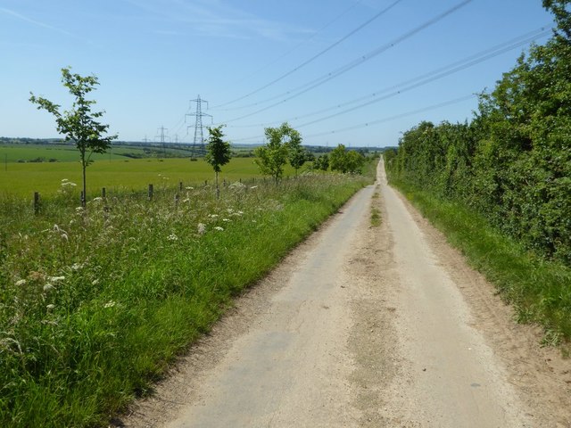
Aldsworth is situated approximately 10 miles southwest of the historic market town of Burford and about 5 miles north of Northleach. It covers an area of around 4 square miles and has a population of around 200 residents. The village is surrounded by rolling hills, lush farmland, and patches of woodland, offering residents and visitors stunning views and ample opportunities for outdoor activities.

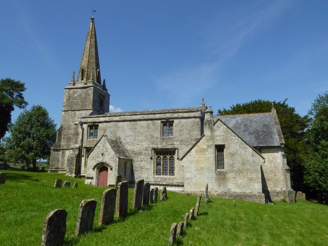
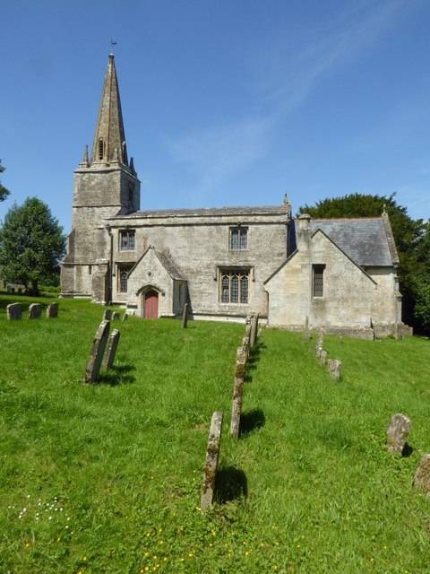
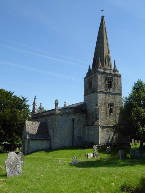
The village itself is made up of a collection of traditional Cotswold stone cottages, many of which date back several centuries. The village church, St. Bartholomew's, is a Grade II listed building and serves as a focal point for the local community. There is also a village hall that hosts various events and activities throughout the year.

Aldsworth is a peaceful and close-knit community, with a strong sense of local pride and a friendly atmosphere. While it may be small in size, it offers a range of amenities including a well-regarded primary school, a village shop, and a pub. The village is also conveniently located within easy reach of larger towns and cities, with Cheltenham and Oxford both being less than 20 miles away. Overall, Aldsworth is a quintessential Cotswold village, offering a tranquil and idyllic place to live or visit.

If you have any feedback on the listing, please let us know in the comments section below.
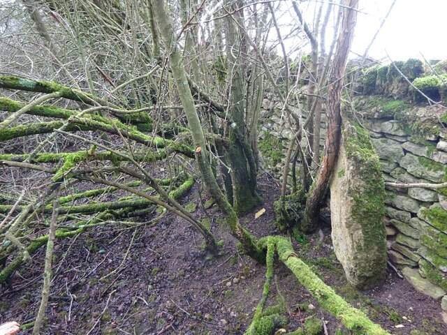
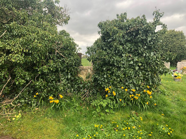
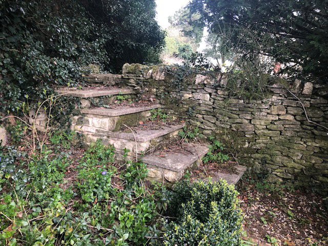
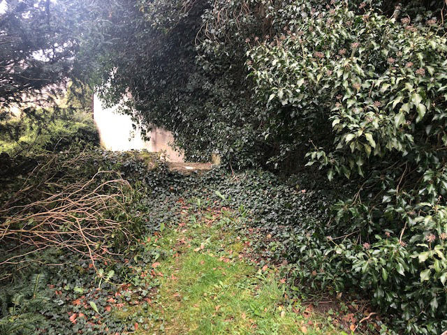
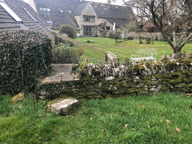
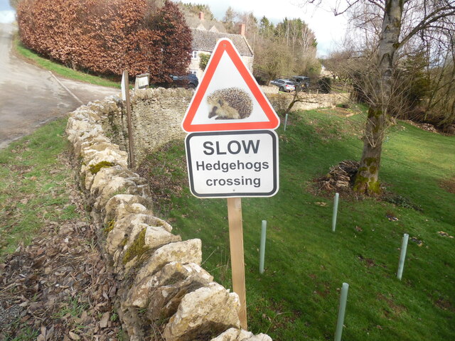
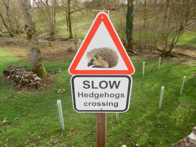
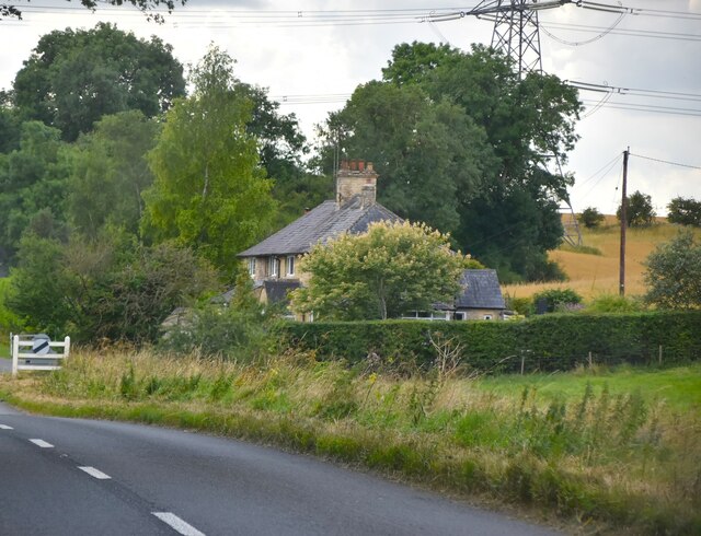
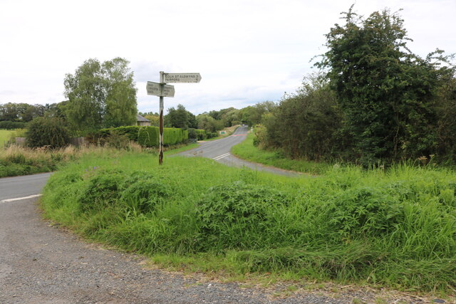
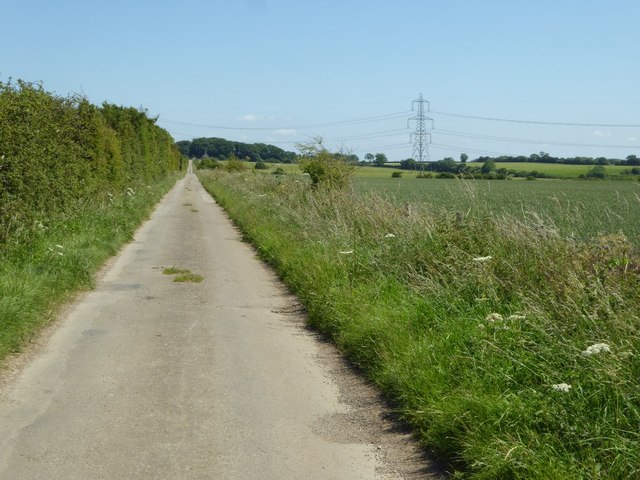
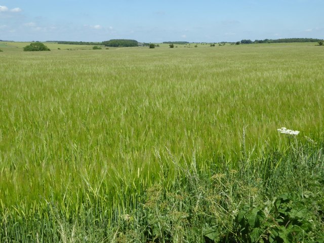
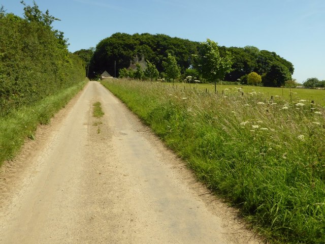
Aldsworth Images

Images are sourced within 2km of 51.794568/-1.771446 or Grid Reference SP1510. Thanks to Geograph Open Source API. All images are credited.

Old Milestone, B4425 nr Aldsworth About ½ a mile West of the village. In parish of ALDSWORTH (COTSWOLD District), East of Aldsworth. Bibury marker, erected by the Bibury & Dancy's Fancy turnpike trust in the 19th century.

Inscription once read: Burford 7 / Cirencester 10
Lost benchmark representing 428.5 ft ASL (in 1900).

Milestone Society National ID: GL_CIBF10
Old Milestone, B4425 nr Aldsworth
About ½ a mile West of the village. In parish of ALDSWORTH (COTSWOLD District), East of Aldsworth. Bibury marker, erected by the Bibury & Dancy's Fancy turnpike trust in the 19th century. Inscription once read: Burford 7 / Cirencester 10 Lost benchmark representing 428.5 ft ASL (in 1900). Milestone Society National ID: GL_CIBF10
Stone Stile, Aldsworth Not on a registered footpath, in the churchyard wall of St Bartholomew's.
Stone Stile, Aldsworth
Not on a registered footpath, in the churchyard wall of St Bartholomew's.
Stone Stile, Aldsworth A private stile to the church storeyard from the graveyard. St Bartholomew's. Looking towards the church, the view SE back is <a href="https://www.geograph.org.uk/photo/7299535">SP1509 : Stone Stile, Aldsworth</a>.
Stone Stile, Aldsworth
A private stile to the church storeyard from the graveyard. St Bartholomew's. Looking towards the church, the view SE back is SP1509 : Stone Stile, Aldsworth.
Stone Stile, Aldsworth A private stile to the church storeyard from the graveyard. St Bartholomew's. Looking SE, the view NW towards the church is <a href="https://www.geograph.org.uk/photo/7299530">SP1509 : Stone Stile, Aldsworth</a>.
Stone Stile, Aldsworth
A private stile to the church storeyard from the graveyard. St Bartholomew's. Looking SE, the view NW towards the church is SP1509 : Stone Stile, Aldsworth.
Stone Stile, Aldsworth A private stile from the large divided house made to look like a Tithe Barn, and St Bartholomews.
Stone Stile, Aldsworth
A private stile from the large divided house made to look like a Tithe Barn, and St Bartholomews.
Slow Hedgehogs Crossing road sign near Swyre Farm (1) This road sign is located on the road between Aldsworth and Coln St Alwyns. Swyre Farm can be seen in the background.
Slow Hedgehogs Crossing road sign near Swyre Farm (1)
This road sign is located on the road between Aldsworth and Coln St Alwyns. Swyre Farm can be seen in the background.
Slow Hedgehogs Crossing road sign near Swyre Farm (2) This road sign is located by the road near Swyre Farm GL54 3RE between Aldsworth and Coln St Aldwyns.
Slow Hedgehogs Crossing road sign near Swyre Farm (2)
This road sign is located by the road near Swyre Farm GL54 3RE between Aldsworth and Coln St Aldwyns.
New Cottage
New Cottage
Junction on the B4425, Aldsworth
Road to Ladbarrow Farm A no through road from the village of Aldsworth giving access to Ladbarrow Farm.
Road to Ladbarrow Farm
A no through road from the village of Aldsworth giving access to Ladbarrow Farm.
A large barley field A large barley field to the east of Aldsworth.
A large barley field
A large barley field to the east of Aldsworth.
Approaching Ladbarrow Farm Ladbarrow Farm is at the end of a no through road to the east of the village of Aldsworth.
Approaching Ladbarrow Farm
Ladbarrow Farm is at the end of a no through road to the east of the village of Aldsworth.
Power lines crossing the Cotswolds Power lines crossing the Cotswolds landscape and this no through road providing access to Ladbarrow Farm.
Power lines crossing the Cotswolds
Power lines crossing the Cotswolds landscape and this no through road providing access to Ladbarrow Farm.
Aldsworth church Aldsworth church is dedicated to St Bartholomew.  This Grade I listed church dates from the late 12th and 15th centuries, it was restored in 1842-3 and again in the late 1870s.  For more information see: <span class="nowrap"><a title="https://historicengland.org.uk/listing/the-list/list-entry/1340781" rel="nofollow ugc noopener" href="https://historicengland.org.uk/listing/the-list/list-entry/1340781">Link</a><img style="margin-left:2px;" alt="External link" title="External link - shift click to open in new window" src="https://s1.geograph.org.uk/img/external.png" width="10" height="10"/></span>
Aldsworth church
Aldsworth church is dedicated to St Bartholomew. This Grade I listed church dates from the late 12th and 15th centuries, it was restored in 1842-3 and again in the late 1870s. For more information see: LinkExternal link
Aldsworth church Aldsworth church is dedicated to St Bartholomew, here it is viewed from the north-east.  This Grade I listed church dates from the late 12th and 15th centuries, it was restored in 1842-3 and again in the late 1870s.  For more information see: <span class="nowrap"><a title="https://historicengland.org.uk/listing/the-list/list-entry/1340781" rel="nofollow ugc noopener" href="https://historicengland.org.uk/listing/the-list/list-entry/1340781">Link</a><img style="margin-left:2px;" alt="External link" title="External link - shift click to open in new window" src="https://s1.geograph.org.uk/img/external.png" width="10" height="10"/></span>
Aldsworth church
Aldsworth church is dedicated to St Bartholomew, here it is viewed from the north-east. This Grade I listed church dates from the late 12th and 15th centuries, it was restored in 1842-3 and again in the late 1870s. For more information see: LinkExternal link
Benchmark on Aldsworth church An OS benchmark on the base of the tower of St Bartholomew's church, Aldsworth.
Benchmark on Aldsworth church
An OS benchmark on the base of the tower of St Bartholomew's church, Aldsworth.
Show me another place!

Aldsworth is located at Grid Ref: SP1510 (Lat: 51.794568, Lng: -1.771446)

Administrative County: Gloucestershire

District: Cotswold

Police Authority: Gloucestershire

What 3 Words

///aunts.crockery.spaceship. Near Northleach, Gloucestershire

Nearby Locations

Aldsworth Aldsworth

Related Wikis

Nearby Amenities

Located within 500m of 51.794568,-1.771446
Bus Stop
Blackpitts Farm Lane
Bus: yes
Naptan AtcoCode: 1600GL69
Naptan Bearing: N
Naptan CommonName: Blackpitts Farm Lane
Naptan NaptanCode: glogdtap
Naptan Street: Sherborne Rd
Naptan Verified: no
Public Transport: platform
Source: naptan_import
Lat/Long: 51.7907315/-1.7735545
Bus Stop
Blackpitts Farm Lane
Bus: yes
Naptan AtcoCode: 1600GL70
Naptan Bearing: S
Naptan CommonName: Blackpitts Farm Lane
Naptan NaptanCode: glogdtat
Naptan Street: Sherborne Rd
Naptan Verified: no
Public Transport: platform
Source: naptan_import
Lat/Long: 51.7907583/-1.7734529
The data included in this document is from www.openstreetmap.org. The data is made available under ODbL.

Have you been to Aldsworth?

Leave your review of Aldsworth below (or comments, questions and feedback).