Aldwark

Civil Parish in Derbyshire Derbyshire Dales

England

Aldwark

Bronze-age barrow on Minninglow Hill, Derbyshire Minninglow is a hill in the Peak Park in Derbyshire, in the White Peak area. Within the clump of trees on the hill are a Neolithic chambered tomb and two Bronze Age bowl barrows.
There’s no public right of way butat thetime of posting a concessionary path gives access.
Bronze-age barrow on Minninglow Hill, Derbyshire Credit: Colin Hoskins

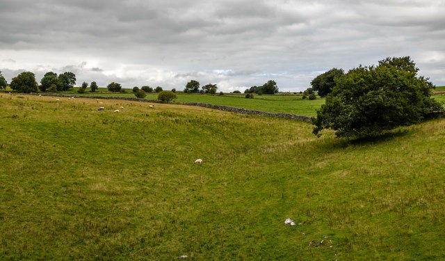
Aldwark is a civil parish located in the county of Derbyshire, England. It is situated approximately 7 miles northwest of the city of Derby and lies on the western bank of the River Derwent. The parish covers an area of around 4 square miles and is surrounded by picturesque countryside, offering stunning views of the nearby Peak District National Park.

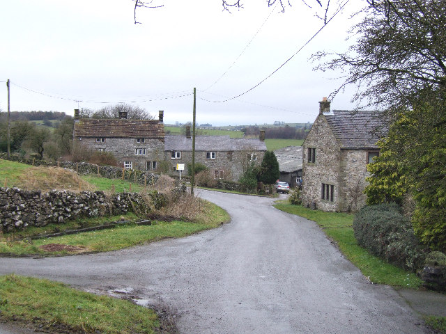
The village of Aldwark itself is small and quaint, with a population of around 300 residents. It features a charming mix of traditional stone-built cottages and more modern houses. The parish also includes the hamlet of Wyaston, which is located to the east of Aldwark.

One of the main landmarks in Aldwark is the All Saints Church, a Grade II listed building that dates back to the 12th century. The church is known for its beautiful stained glass windows and historic architecture, making it a popular attraction for visitors.

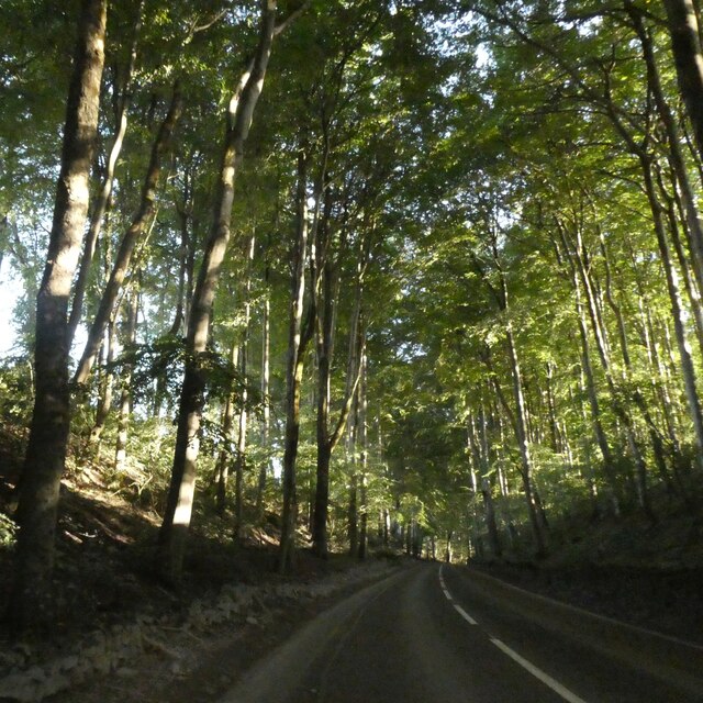
Aldwark is well-connected to nearby towns and cities, with a good transport network in place. The A52 road runs through the parish, providing easy access to Derby and other major destinations. Additionally, there are regular bus services that connect Aldwark to surrounding areas.

The parish is surrounded by a wealth of natural beauty, with plenty of walking and cycling routes available in the surrounding countryside. The nearby River Derwent also offers opportunities for boating and fishing.

Overall, Aldwark is a peaceful and picturesque civil parish, offering a charming village atmosphere and easy access to both rural and urban amenities.

If you have any feedback on the listing, please let us know in the comments section below.
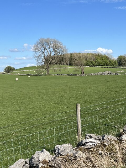
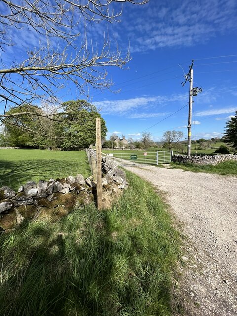
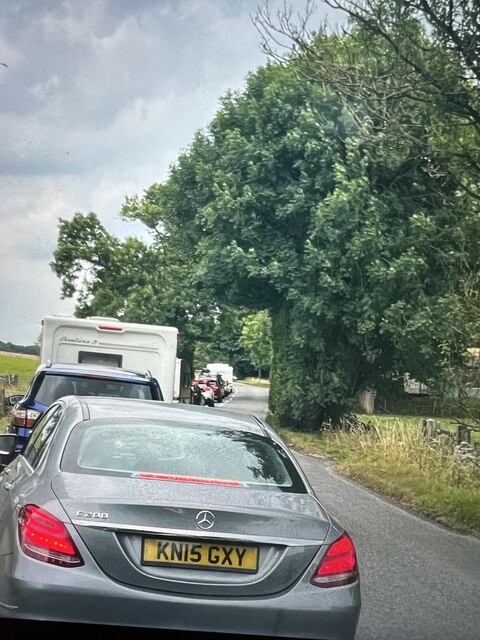
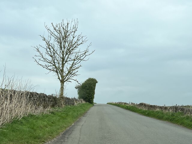
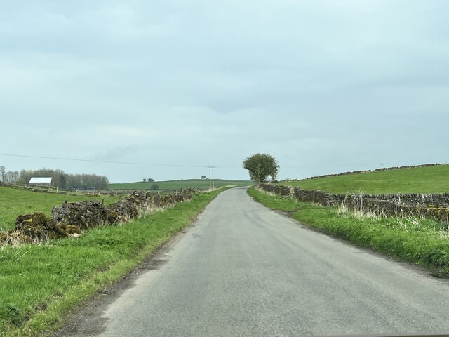
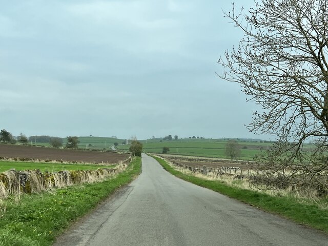
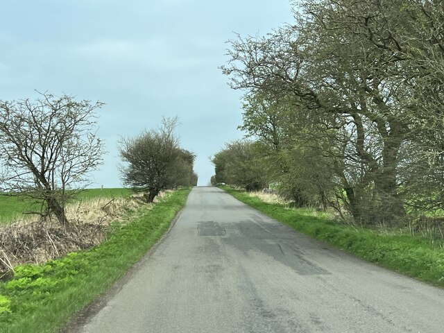
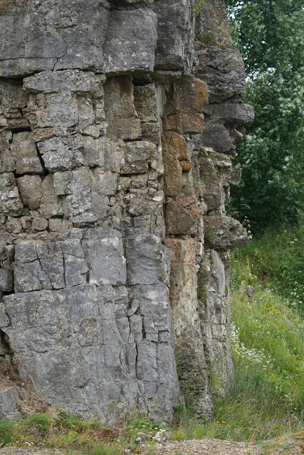
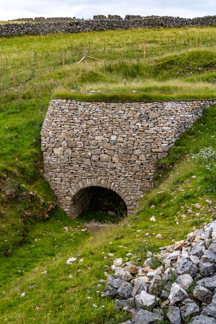
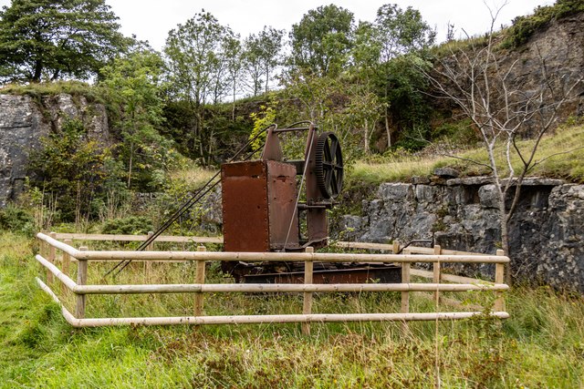
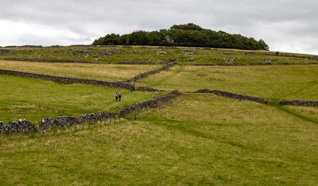
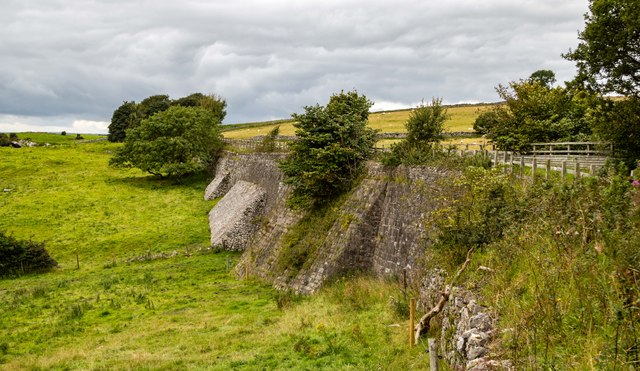
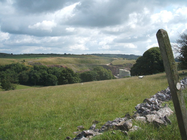
Aldwark Images

Images are sourced within 2km of 53.118611/-1.666095 or Grid Reference SK2257. Thanks to Geograph Open Source API. All images are credited.

Bronze-age barrow on Minninglow Hill, Derbyshire Minninglow is a hill in the Peak Park in Derbyshire, in the White Peak area. Within the clump of trees on the hill are a Neolithic chambered tomb and two Bronze Age bowl barrows.
There’s no public right of way butat thetime of posting a concessionary path gives access.
Bronze-age barrow on Minninglow Hill, Derbyshire
Minninglow is a hill in the Peak Park in Derbyshire, in the White Peak area. Within the clump of trees on the hill are a Neolithic chambered tomb and two Bronze Age bowl barrows. There’s no public right of way butat thetime of posting a concessionary path gives access.
Grange Barn Farm A snowy scene on the A5102 Nr Grange Mill.
Grange Barn Farm
A snowy scene on the A5102 Nr Grange Mill.
Feeding Cattle Cattle eating hay in the field next to Grange Barn Farm
Feeding Cattle
Cattle eating hay in the field next to Grange Barn Farm
Old Milestone, Slipper Low Farm Near Aldwark. A guide post re-located from a crossroads ¼ mile to the South. Now being used as a gatepost.

Inscription:  (A)SHB / (OU)RN // DER / BY // CHEST / ERFEIL / D 1709 // BUX / TO(N) / (1)

Listed in Derbyshire Heritage see <span class="nowrap"><a title="https://her.derbyshire.gov.uk/Monument/MDR8585" rel="nofollow ugc noopener" href="https://her.derbyshire.gov.uk/Monument/MDR8585">Link</a><img style="margin-left:2px;" alt="External link" title="External link - shift click to open in new window" src="https://s1.geograph.org.uk/img/external.png" width="10" height="10"/></span>

Milestone Society National ID: DE_XALD
Old Milestone, Slipper Low Farm
Near Aldwark. A guide post re-located from a crossroads ¼ mile to the South. Now being used as a gatepost. Inscription: (A)SHB / (OU)RN // DER / BY // CHEST / ERFEIL / D 1709 // BUX / TO(N) / (1) Listed in Derbyshire Heritage see LinkExternal link Milestone Society National ID: DE_XALD
Greenlow Hill Across the grassland towards Greenlow Hill.
Greenlow Hill
Across the grassland towards Greenlow Hill.
Footpath and Farm Entrance The footpath and entrance to Greenlow Farm.
Footpath and Farm Entrance
The footpath and entrance to Greenlow Farm.
Traffic Holdup Stationary traffic for the next two miles due to the Ynot music festival at Pikehall.
Traffic Holdup
Stationary traffic for the next two miles due to the Ynot music festival at Pikehall.
Approaching Winster On an unnamed road.
Approaching Winster
On an unnamed road.
Towards Winster An unnamed road.
Towards Winster
An unnamed road.
On Elton Common An unnamed road.
On Elton Common
An unnamed road.
Towards Winster An unnamed road.
Towards Winster
An unnamed road.
Old cliff face at Hoe Grange Quarry Hoe Grange is a very old Longcliffe quarry which is now under the combined management of The Butterfly Conservation and Derbyshire Wildlife Trust. It is managed for all wildlife but especially to increase the numbers and range of species of butterflies. Today 2/7/2023 has been the yearly open day with guided walks around this interesting site.
Old cliff face at Hoe Grange Quarry
Hoe Grange is a very old Longcliffe quarry which is now under the combined management of The Butterfly Conservation and Derbyshire Wildlife Trust. It is managed for all wildlife but especially to increase the numbers and range of species of butterflies. Today 2/7/2023 has been the yearly open day with guided walks around this interesting site.
Limekiln Following a collapse of the original structure in 2019, the recently rebuilt Limekiln alongside the High Peak Trail.
Limekiln
Following a collapse of the original structure in 2019, the recently rebuilt Limekiln alongside the High Peak Trail.
Mininglow Limestone Quarry What appears to be a track mounted, hand operated small quarry crane.  Pictures of this crane on the Alamy website indicate that it is a Stothart & Pitt machine of 1860 vintage.
Mininglow Limestone Quarry
What appears to be a track mounted, hand operated small quarry crane. Pictures of this crane on the Alamy website indicate that it is a Stothart & Pitt machine of 1860 vintage.
Minninglow Hill
Minninglow Hill
High Peak Trail Trackbed on a masonry embankment section of the dismantled Cromford and High Peak Railway.  Also part of the Midshires Way.
High Peak Trail
Trackbed on a masonry embankment section of the dismantled Cromford and High Peak Railway. Also part of the Midshires Way.
Haven Hoe Farm Fields on Haven Hoe Farm seen from the High Peak Trail.
Haven Hoe Farm
Fields on Haven Hoe Farm seen from the High Peak Trail.
Tree lined road north of Curzon Lodge A narrow belt of trees lines the road on each side; it has been there for over 100 years in its current extent
Tree lined road north of Curzon Lodge
A narrow belt of trees lines the road on each side; it has been there for over 100 years in its current extent
Show me another place!

Aldwark is located at Grid Ref: SK2257 (Lat: 53.118611, Lng: -1.666095)

Administrative County: Derbyshire

District: Derbyshire Dales

Police Authority: Derbyshire

What 3 Words

///again.jeeps.corporate. Near Newhaven, Derbyshire

Related Wikis

Aldwark, Derbyshire

Aldwark (Old English "the old fortification") is a small upland village and parish in the Derbyshire Dales district of Derbyshire, England, about 8 miles...
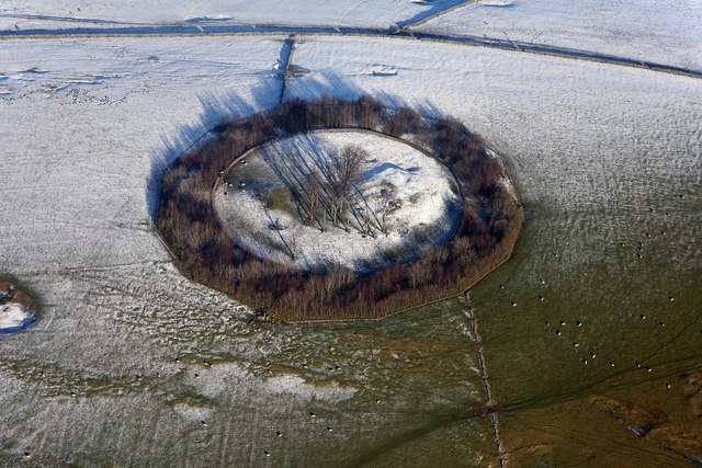
Minninglow

Minninglow (or Minning Low) is a hill in the Peak District National Park in Derbyshire, located within the White Peak area at grid reference SK209573....

Ivonbrook Grange

Ivonbrook Grange is a civil parish within the Derbyshire Dales district, in the county of Derbyshire, England. Largely rural, Ivonbrook Grange's population...

Grangemill

Grangemill is a village in the English county of Derbyshire. The hamlet is made up of a cluster of houses, a farm and a pub called the Hollybush. There...

Longcliffe

Longcliffe is a crossroads hamlet in the English county of Derbyshire. It lies on the B5056 road where it is crossed by the Brassington-Elton road. The...

West Derbyshire (UK Parliament constituency)

West Derbyshire was a county constituency represented in the House of Commons of the Parliament of the United Kingdom. From 1885, until it was replaced...

Ible

Ible (pronounced 'eyebull', or 'ib-ull') is a hamlet in Derbyshire, England, just within the Peak District National Park.It is near the Via Gellia valley...

Elton, Derbyshire

Elton is a village and civil parish in the Derbyshire Dales district of Derbyshire, England, and lies within the Peak District. Its nearest towns are Bakewell...

Related Videos

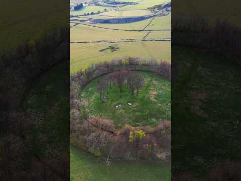
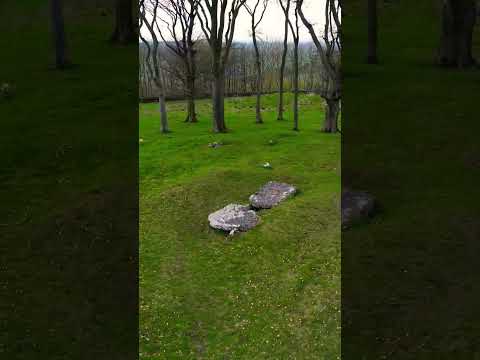
Minninglow Hill - Peak District - DJI Air 2S | Solo Hiking

Minninglow Hill - Peak District Minninglow Hill is a Neolithic burial mound located in the Peak District of England. This ancient ...

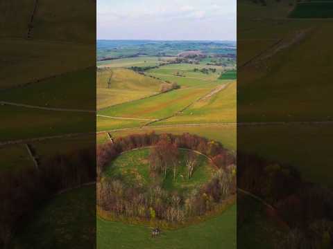
Peak District - Minninglow Hill - Dji Air 2s | Solo Hiking

Minninglow Hill - Peak District Minninglow Hill is a Neolithic burial mound located in the Peak District of England. This ancient ...

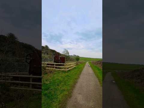
Sound Of Nature - Minninglow - Peak District | Solo Hiking

Sound Of Nature - Minninglow - Peak District - Solo Traveler Get the same gear as me for shooting vlogs: DJI Drones: DJI Mini ...

Minninglow Hill Tomb - Peak District | Solo Hiking

Minninglow Hill - Peak District Minninglow Hill is a Neolithic burial mound located in the Peak District of England. This ancient ...

Nearby Amenities

Located within 500m of 53.118611,-1.666095
Barrier: stile
Stile: squeezer
Lat/Long: 53.1204032/-1.6598481
Barrier: stile
Steps: 2
Stile: stepover
Lat/Long: 53.1184949/-1.6596528
Barrier: stile
Stile: squeezer
Lat/Long: 53.1168543/-1.6597976
Barrier: stile
Steps: 2
Stile: stepover
Lat/Long: 53.1190277/-1.6596507
Barrier: stile
Steps: 1
Stile: stepover
Lat/Long: 53.1197682/-1.6648762
Barrier: stile
Steps: 2
Stile: wall
Lat/Long: 53.1197397/-1.6649301
Barrier: stile
Steps: 3
Stile: wall
Lat/Long: 53.1190576/-1.6661784
Barrier: stile
Steps: 3
Stile: wall
Lat/Long: 53.1189922/-1.6664154
Barrier: stile
Steps: 3
Stile: wall
Lat/Long: 53.1190217/-1.6662656
Barrier: stile
Steps: 2
Stile: stepover
Lat/Long: 53.1184949/-1.6596528
The data included in this document is from www.openstreetmap.org. The data is made available under ODbL.

Have you been to Aldwark?

Leave your review of Aldwark below (or comments, questions and feedback).