Aldwark

Civil Parish in Yorkshire Hambleton

England

Aldwark

Start of Goose Lane Looking along Goose Lane at the southern end.
Start of Goose Lane Credit: DS Pugh

Aldwark is a civil parish located in North Yorkshire, England. It is situated approximately 16 miles northwest of York and 5 miles southwest of Easingwold. The parish covers an area of about 10 square miles and is made up of several small villages and hamlets, including Aldwark, Flawith, Tholthorpe, and Youlton.

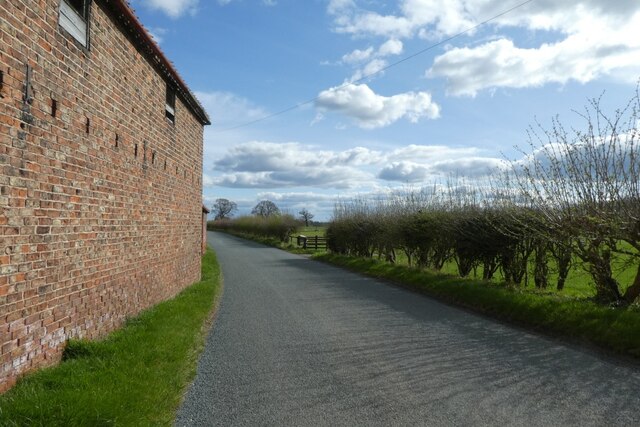
Aldwark is known for its picturesque countryside and tranquil surroundings. The area is predominantly rural, with rolling hills, farmland, and scattered woodlands. The River Kyle, a tributary of the River Ouse, flows through the parish, providing a scenic backdrop and recreational opportunities for residents and visitors.

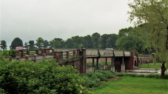
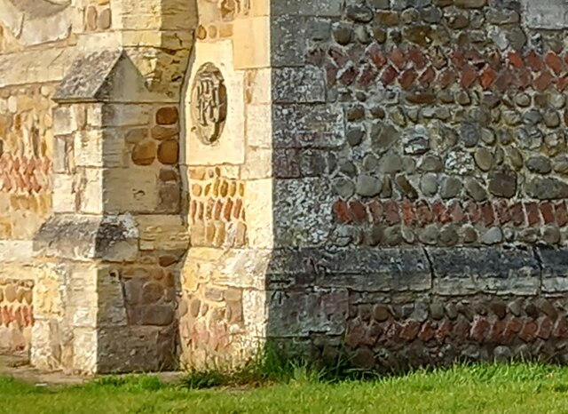
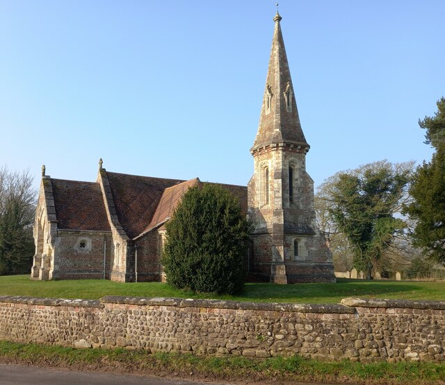
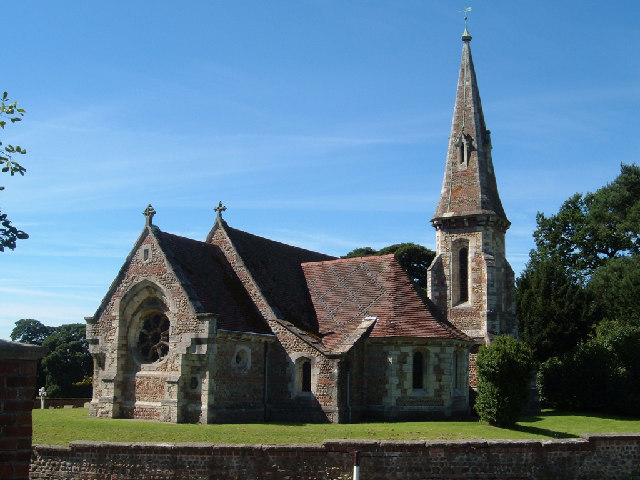
The parish has a rich history, dating back to Roman times. There are several ancient landmarks and historical sites in the area, including Aldwark Bridge, a Grade II listed structure that dates back to the 18th century. The parish church, St. Stephen's, is also of historical significance and features beautiful stained glass windows and architectural elements.

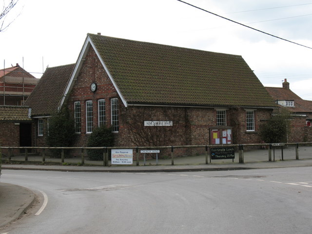
Aldwark is a close-knit community with a small population. It offers a peaceful and idyllic lifestyle, away from the hustle and bustle of larger towns and cities. The parish has limited amenities, with a few local businesses, a primary school, and a village hall serving as the social hub for residents. However, larger towns like Easingwold and York are within easy reach, offering a wider range of amenities, services, and employment opportunities.

If you have any feedback on the listing, please let us know in the comments section below.
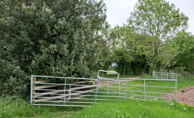
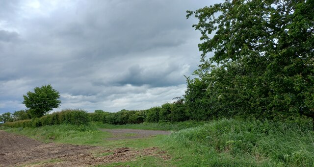
Aldwark Images

Images are sourced within 2km of 54.069935/-1.28459 or Grid Reference SE4664. Thanks to Geograph Open Source API. All images are credited.

Start of Goose Lane Looking along Goose Lane at the southern end.
Start of Goose Lane
Looking along Goose Lane at the southern end.
Road north of Youlton Looking along the road from Youlton at the junction with Goose Lane.
Road north of Youlton
Looking along the road from Youlton at the junction with Goose Lane.
Field beside Goose Lane Looking into a field from Goose Lane.
Field beside Goose Lane
Looking into a field from Goose Lane.
Bracken along Goose Lane Looking along the track between Youlton and Flawith.
Bracken along Goose Lane
Looking along the track between Youlton and Flawith.
Goose Lane and bracken Looking along the bridleway towards Flawith from Youlton.
Goose Lane and bracken
Looking along the bridleway towards Flawith from Youlton.
Along Goose Lane Looking along the track towards Youlton.
Along Goose Lane
Looking along the track towards Youlton.
Fields beside Goose Lane Looking into a field from a bridleway between Youlton and Flawith.
Fields beside Goose Lane
Looking into a field from a bridleway between Youlton and Flawith.
Greengates Lane Looking towards a road junction south of Flawith.
Greengates Lane
Looking towards a road junction south of Flawith.
Sign for Flawith Approaching the village from the south.
Sign for Flawith
Approaching the village from the south.
Cottages in Flawith Looking along the northern edge of the village.
Cottages in Flawith
Looking along the northern edge of the village.
Houses in Flawith Looking northwest towards Tholthorpe.
Houses in Flawith
Looking northwest towards Tholthorpe.
Road northwest of Flawith Looking along the lane towards Myton.
Road northwest of Flawith
Looking along the lane towards Myton.
Beside Bridge Farm Looking along the road towards Linton on Ouse.
Beside Bridge Farm
Looking along the road towards Linton on Ouse.
Aldwark Bridge in 2000 Road toll bridge over River Ure, which becomes River Ouse shortly downstream. This is the only bridge across the river between York to the south and Boroughbridge to the north.
Aldwark Bridge in 2000
Road toll bridge over River Ure, which becomes River Ouse shortly downstream. This is the only bridge across the river between York to the south and Boroughbridge to the north.
Aldwark, St Stephen's church The benchmark is cut in a cornerstone on a north-east face of the church.
Aldwark, St Stephen's church
The benchmark is cut in a cornerstone on a north-east face of the church.
Aldwark, St Stephen's church There is a benchmark cut in a cornerstone on a north-east face of the church.
Aldwark, St Stephen's church
There is a benchmark cut in a cornerstone on a north-east face of the church.
Aldwark, Rice Lane According to the OS benchmark database there was a benchmark cut into a concrete gatepost in this vicinity. Nothing was found and it is likely the benchmark has been destroyed.
Aldwark, Rice Lane
According to the OS benchmark database there was a benchmark cut into a concrete gatepost in this vicinity. Nothing was found and it is likely the benchmark has been destroyed.
Aldwark, Rice Lane According to the OS benchmark database there was a benchmark cut into a concrete gatepost at this field entrance. Today there are no gateposts and it is likely the benchmark has been destroyed.
Aldwark, Rice Lane
According to the OS benchmark database there was a benchmark cut into a concrete gatepost at this field entrance. Today there are no gateposts and it is likely the benchmark has been destroyed.
Show me another place!

Aldwark is located at Grid Ref: SE4664 (Lat: 54.069935, Lng: -1.28459)

Division: North Riding

Administrative County: North Yorkshire

District: Hambleton

Police Authority: North Yorkshire

What 3 Words

///banana.lakeside.expert. Near Linton upon Ouse, North Yorkshire

Nearby Locations

Riley's Plantation Aldwark

Related Wikis

Aldwark, Hambleton

Aldwark is a village and civil parish in the Hambleton District of North Yorkshire, England. It is situated on the River Ouse about 14 miles from York...

Flawith

Flawith is a village and civil parish in Hambleton district of North Yorkshire, England. It is situated approximately 4 miles (6.4 km) south-west of Easingwold...

Youlton

Youlton is a village and civil parish in Hambleton District of North Yorkshire, England. It is situated approximately 5 miles (8 km) south-west of Easingwold...
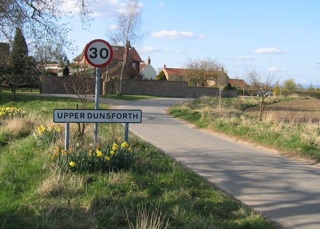
Upper Dunsforth

Upper Dunsforth is a village in located in the civil parish of Dunsforths, in the Borough of Harrogate of North Yorkshire, England. It was mentioned in...

Dunsforths

Dunsforths is a civil parish in the Borough of Harrogate of North Yorkshire, England. In 2011, the civil parish had 224 inhabitants. It consists of Lower...

Tholthorpe

Tholthorpe is a village and civil parish in the Hambleton district of North Yorkshire, England. It is situated approximately 4 miles (6 km) south-west...

Lower Dunsforth

Lower Dunsforth is a village in the civil parish of Dunsforths, in North Yorkshire, England. It was recorded in the Domesday Book (1086) as Doneforde/Dunesford/Dunesforde...

Alne, North Yorkshire

Alne is a village and civil parish in the Hambleton District of North Yorkshire, England, about twelve miles north-west of York and four miles from Easingwold...

Nearby Amenities

Located within 500m of 54.069935,-1.28459
Aldwark
Place: village
Lat/Long: 54.0667965/-1.289405
The data included in this document is from www.openstreetmap.org. The data is made available under ODbL.

Have you been to Aldwark?

Leave your review of Aldwark below (or comments, questions and feedback).