Aldwick

Civil Parish in Sussex Arun

England

Aldwick

Houses on Victoria Road, Bognor Regis, West Sussex
Houses on Victoria Road, Bognor Regis, West Sussex Credit: Jeff Gogarty

Aldwick is a civil parish located in the district of Arun, West Sussex, England. Situated on the southern coast of England, the parish is bordered by the English Channel to the south and the town of Bognor Regis to the north. Covering an area of approximately 4.5 square kilometers, Aldwick has a population of around 11,000 residents.

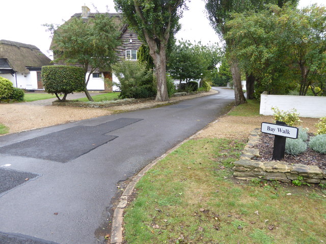
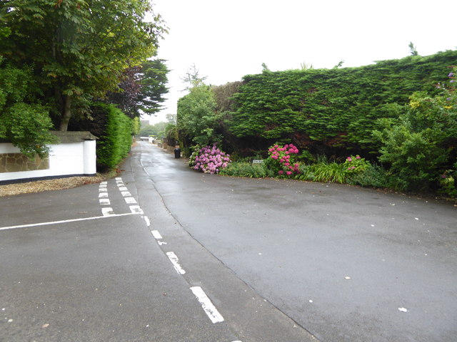
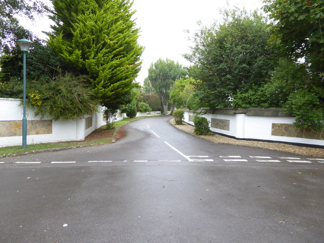
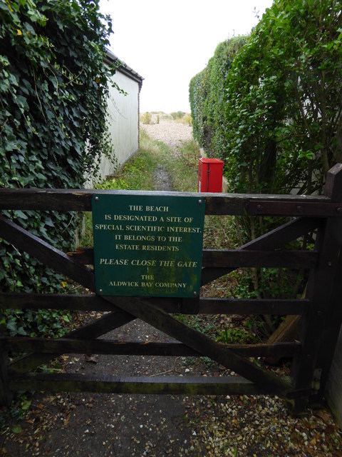
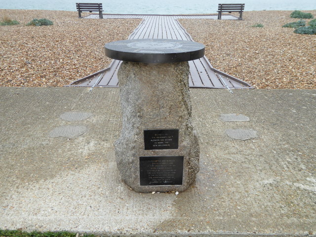
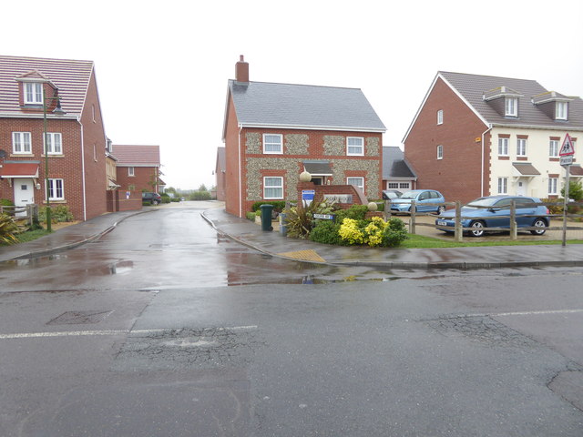
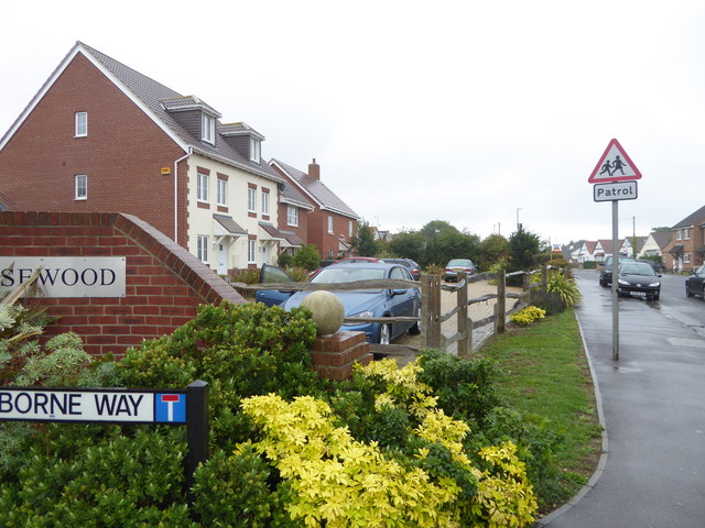
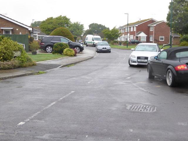
The area is known for its stunning coastal scenery and sandy beaches, attracting many tourists during the summer months. Aldwick boasts a mix of residential areas, including traditional cottages and modern housing estates. The parish is well-served by local amenities, such as shops, cafes, and restaurants, catering to both residents and visitors alike.

Aldwick also has a strong community spirit, with several community groups and organizations promoting social activities and events. The parish is home to several schools, including primary and secondary schools, providing education to local children.

Historically, Aldwick was a small fishing village, but it has developed into a popular residential area over the years. The parish has a rich history, with evidence of Roman occupation and archaeological finds in the area. The local church, St. Richard's, is a notable landmark, dating back to the 12th century and showcasing architectural features from different periods.

Overall, Aldwick offers a picturesque coastal setting, a vibrant community, and a range of amenities, making it an attractive place to live or visit on the West Sussex coast.

If you have any feedback on the listing, please let us know in the comments section below.
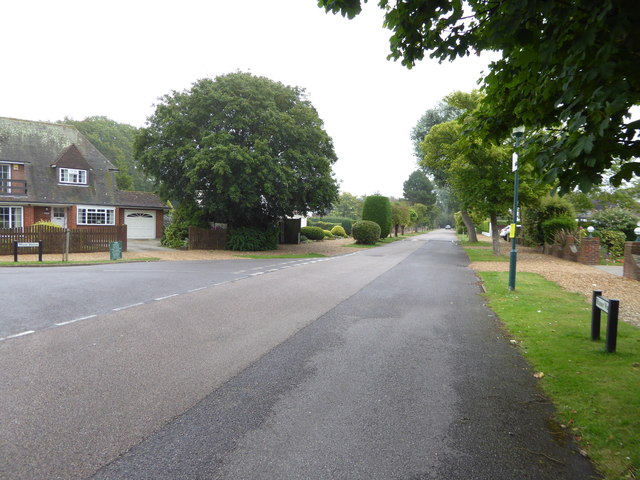
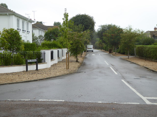
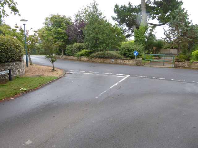
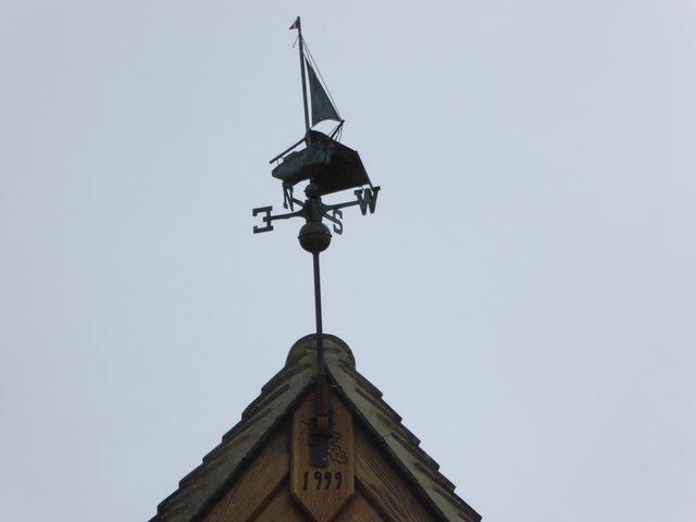
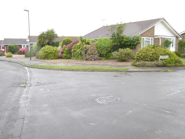
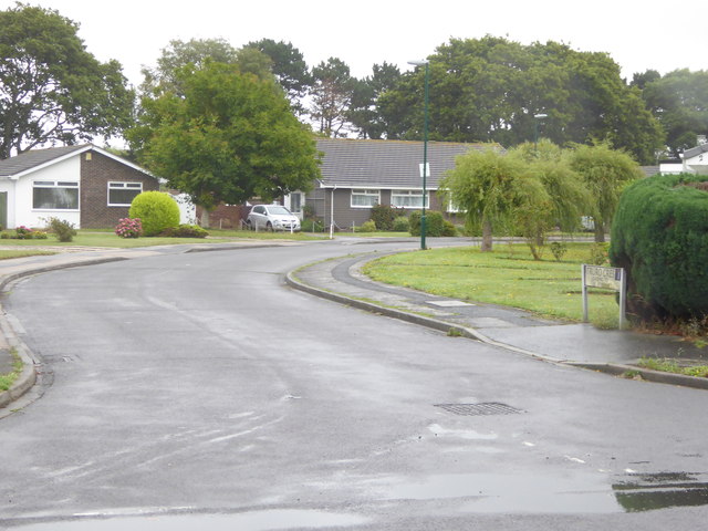
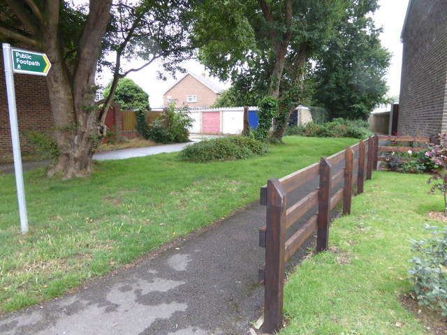
Aldwick Images

Images are sourced within 2km of 50.781879/-0.710959 or Grid Reference SZ9098. Thanks to Geograph Open Source API. All images are credited.

Houses on Victoria Road, Bognor Regis, West Sussex
Looking east on Manor Way from junction with West Drive
Looking southwards along The Ridings
The southern end of The Ridings
Weathershipwreck on The Fairway
Looking into Bay Walk from the north
Looking east on The Bye Way from Bay Walk
Looking north on Bay Walk
Twitten from Bay Walk to the beach
Millennium monument on the beach See also <a title="https://www.geograph.org.uk/photo/3706089" href="https://www.geograph.org.uk/photo/3706089">Link</a>.
Millennium monument on the beach
See also Link.
Looking into Osborne Way
Looking east from the southern end of Osborne Way
Not the Rose Green Friary See also <a title="https://www.geograph.org.uk/photo/672285" href="https://www.geograph.org.uk/photo/672285">Link</a>.
Not the Rose Green Friary
See also Link.
Looking into Wells Crescent from the eastern end
Looking west on Westminster Drive past Wells Crescent
Looking into Truro Crescent
Footpath goes west from Lower Bognor Road
Pavement passes Aldwick Royal British Legion
Show me another place!

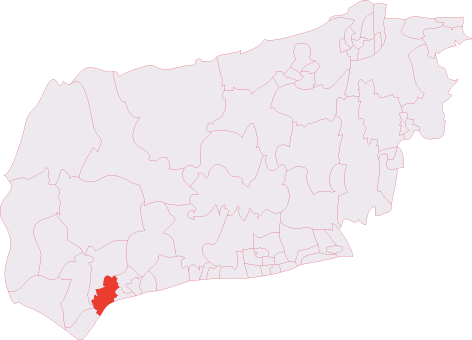
Aldwick is located at Grid Ref: SZ9098 (Lat: 50.781879, Lng: -0.710959)

Administrative County: West Sussex

District: Arun

Police Authority: Sussex

What 3 Words

///wonderful.balloons.shoulders. Near Bognor Regis, West Sussex

Nearby Locations

Aldwick

Related Wikis

Aldwick

Aldwick is a seaside village and civil parish in the Arun district of West Sussex, England. Bognor Regis is to the east of the village. The ecclesiastical...

Craigweil House

Craigweil House was a coastal mansion at Aldwick near Bognor Regis in southern England. King George V stayed there for three months in 1929. Craigweil...

RAF Bognor

RAF Bognor (also known as Bognor Advanced Landing Ground (A.L.G.)) is a former Royal Air Force Advanced Landing Ground 2 miles (3.2 km) north of Bognor...

Bognor Reef

Bognor Reef is a 39.7-hectare (98-acre) biological and geological Site of Special Scientific Interest which stretches along the foreshore of Bognor Regis...

Bognor Regis West & Aldwick (electoral division)

Bognor Regis West & Aldwick is an electoral division of West Sussex in the United Kingdom and returns one member to sit on West Sussex County Council....

Bognor Regis Town F.C.

Bognor Regis Town Football Club is an English football club based in Bognor Regis, West Sussex. Nicknamed 'The Rocks’, the club is an FA Chartered Standard...

Pagham F.C.

Pagham Football Club is a football club based in Pagham, near Bognor Regis, West Sussex, England. They are currently members of the Southern Combination...

Nyetimber (electoral division)

Nyetimber is an electoral division of West Sussex in the United Kingdom and returns one member to sit on West Sussex County Council. == Extent == The division...

Nearby Amenities

Located within 500m of 50.781879,-0.710959
Aldwick
Is In: West Sussex, England, UK
Place: village
Population: 11282
Source: npe
Wikidata: Q2557032
Lat/Long: 50.781519/-0.7065119
Bus Stop
Old Place
Bus: yes
Naptan AtcoCode: 4400LH0401
Naptan Bearing: SE
Naptan CommonName: Old Place
Naptan Indicator: adj Old Place
Naptan Landmark: Old Place
Naptan NaptanCode: wsxdawdg
Naptan Street: Gossamer Lane
Naptan Verified: no
Public Transport: platform
Source: naptan_import
Lat/Long: 50.7825622/-0.7084366
Bus Stop
Old Place
Bus: yes
Naptan AtcoCode: 4400LH0402
Naptan Bearing: NW
Naptan CommonName: Old Place
Naptan Indicator: opp. Old Place
Naptan Landmark: Old Place
Naptan NaptanCode: wsxdawdj
Naptan Street: Gossamer Lane
Naptan Verified: no
Public Transport: platform
Source: naptan_import
Lat/Long: 50.7826397/-0.7089451
Bus Stop
St Richards Church
Bus: yes
Naptan AtcoCode: 4400LH0403
Naptan Bearing: SE
Naptan CommonName: St Richards Church
Naptan Indicator: adj St Richards Way
Naptan Landmark: St Richards Way
Naptan NaptanCode: wsxdawdm
Naptan Street: Gossamer Lane
Naptan Verified: no
Public Transport: platform
Source: naptan_import
Lat/Long: 50.7834808/-0.7109931
Bus Stop
St Richards Church
Bus: yes
Naptan AtcoCode: 4400LH0404
Naptan Bearing: NW
Naptan CommonName: St Richards Church
Naptan Indicator: adj Willowhale Avenue
Naptan Landmark: St Richards Way
Naptan NaptanCode: wsxdawdp
Naptan Street: Gossamer Lane
Naptan Verified: no
Public Transport: platform
Source: naptan_import
Lat/Long: 50.7835675/-0.7115156
Bus Stop
Gossamer Lane
Bus: yes
Naptan AtcoCode: 4400LH0405
Naptan Bearing: W
Naptan CommonName: Gossamer Lane
Naptan Indicator: opp. Aigburth Avenue
Naptan Landmark: Aigburth Avenue
Naptan NaptanCode: wsxdawdt
Naptan Street: Gossamer Lane
Naptan Verified: no
Public Transport: platform
Source: naptan_import
Lat/Long: 50.7847225/-0.7151297
Bus Stop
Gossamer Lane
Bus: yes
Naptan AtcoCode: 4400LH0406
Naptan Bearing: E
Naptan CommonName: Gossamer Lane
Naptan Indicator: adj Aigburth Avenue
Naptan Landmark: Aigburth Avenue
Naptan NaptanCode: wsxdawdw
Naptan Street: Gossamer Lane
Naptan Verified: no
Public Transport: platform
Source: naptan_import
Lat/Long: 50.7849048/-0.7153517
Bus Stop
Aldwick Farm
Bus: yes
Naptan AtcoCode: 4400LH0409
Naptan Bearing: NE
Naptan CommonName: Aldwick Farm
Naptan Indicator: adj Westminster Drive
Naptan Landmark: Westminster Drive
Naptan NaptanCode: wsxdawgj
Naptan Street: Aldwick Road
Naptan Verified: no
Public Transport: platform
Source: naptan_import
Lat/Long: 50.7846738/-0.705839
Bus Stop
Aldwick Farm
Bus: yes
Naptan AtcoCode: 4400LH0410
Naptan Bearing: S
Naptan CommonName: Aldwick Farm
Naptan Indicator: opp. Westminster Drive
Naptan Landmark: Westminster Drive
Naptan NaptanCode: wsxdawgm
Naptan Street: Aldwick Road
Naptan Verified: no
Public Transport: platform
Source: naptan_import
Lat/Long: 50.7839591/-0.7062702
Bus Stop
Westminster Drive
Bus: yes
Naptan AtcoCode: 4400LH0418
Naptan Bearing: E
Naptan CommonName: Westminster Drive
Naptan Indicator: Adj Aldwick Rd
Naptan Landmark: Aldwick Road
Naptan NaptanCode: wsxdawjp
Naptan Street: Westminster Drive
Naptan Verified: no
Public Transport: platform
Source: naptan_import
Lat/Long: 50.7844025/-0.7065133
Westminster Drive
Naptan AtcoCode: 4400LH0419
Naptan Bearing: W
Naptan BusStopType: CUS
Naptan CommonName: Westminster Drive
Naptan Indicator: adj 1
Naptan Landmark: Aldwick Road
Naptan NaptanCode: wsxdawjt
Naptan Street: Westminster Drive
Naptan Verified: no
Source: naptan_import
Lat/Long: 50.784313/-0.7065583
Bus Stop
Westminster Dr
Bus: yes
Naptan AtcoCode: 4400LH0904
Naptan Bearing: S
Naptan CommonName: Westminster Dr
Naptan Indicator: o/s 34
Naptan Landmark: Rochester Way
Naptan Street: Westminster Dr
Naptan Verified: no
Public Transport: platform
Source: naptan_import
Lat/Long: 50.7852328/-0.7092142
Bus Stop
Westminster Dr
Bus: yes
Naptan AtcoCode: 4400LH0905
Naptan Bearing: N
Naptan CommonName: Westminster Dr
Naptan Indicator: o/s 41
Naptan Landmark: Rochester Way
Naptan Street: Westminster Dr
Naptan Verified: no
Public Transport: platform
Source: naptan_import
Lat/Long: 50.7856074/-0.7089343
Post Box
Post Box Type: pillar
Ref: PO21 10
Royal Cypher: GR
Royal Cypher Wikidata: Q33102273
Lat/Long: 50.7811297/-0.7051361
Parking
Access: yes
Fee: no
Parking: surface
Lat/Long: 50.7817563/-0.7175403
Post Box
Brand: Royal Mail
Brand Wikidata: Q638098
Brand Wikipedia: en:Royal Mail
Collection Plate: CP7D
Collection Times: Mo-Fr 09:00; Sa 07:00
Last Checked: 2021-05-04
Operator: Royal Mail
Operator Wikidata: Q638098
Post Box Type: lamp
Ref: PO21 89D
Royal Cypher: EIIR
Royal Cypher Wikidata: Q33102113
Source: survey
Lat/Long: 50.7805805/-0.7157233
Post Box
Post Box Type: lamp
Ref: PO21 123D
Royal Cypher: EIIR
Royal Cypher Wikidata: Q33102113
Lat/Long: 50.7839435/-0.7112628
Site of Hundred House of Aldwick
Historic: memorial
Memorial: plaque
Openplaques Id: 5748
Lat/Long: 50.7815099/-0.7117027
Barrier: bollard
Lat/Long: 50.7806349/-0.7113575
Barrier: bollard
Lat/Long: 50.7808105/-0.7114143
Barrier: bollard
Lat/Long: 50.7812097/-0.7172924
Barrier: bollard
Lat/Long: 50.7812833/-0.717415
Barrier: bollard
Lat/Long: 50.7815037/-0.7177795
The Pound House
Historic: memorial
Memorial: plaque
Openplaques Id: 5746
Lat/Long: 50.7818219/-0.7085779
Barrier: chain
Lat/Long: 50.7794459/-0.7059934
Bench
Lat/Long: 50.7796978/-0.7090312
Generator Method: photovoltaic
Generator Output Electricity: yes
Generator Source: solar
Generator Type: solar_photovoltaic_panel
Location: roof
Power: generator
Lat/Long: 50.7841249/-0.7078779
Generator Method: photovoltaic
Generator Output Electricity: yes
Generator Source: solar
Generator Type: solar_photovoltaic_panel
Location: roof
Power: generator
Lat/Long: 50.7841317/-0.7075775
Generator Method: photovoltaic
Generator Output Electricity: yes
Generator Source: solar
Generator Type: solar_photovoltaic_panel
Location: roof
Power: generator
Lat/Long: 50.7844539/-0.7073119
Generator Method: photovoltaic
Generator Output Electricity: yes
Generator Source: solar
Generator Type: solar_photovoltaic_panel
Location: roof
Power: generator
Lat/Long: 50.7858427/-0.7082078
Access: permissive
Drinking Water: yes
Man Made: water_tap
Lat/Long: 50.783741/-0.7107394
The data included in this document is from www.openstreetmap.org. The data is made available under ODbL.

Have you been to Aldwick?

Leave your review of Aldwick below (or comments, questions and feedback).