Grindale

Civil Parish in Yorkshire

England

Grindale

A big gate for a small track
A big gate for a small track Credit: David Brown

Grindale is a civil parish located in the county of Yorkshire, England. It is situated within the East Riding of Yorkshire, about 3 miles southwest of the market town of Bridlington. With a population of approximately 250 people, Grindale is a small and close-knit community.

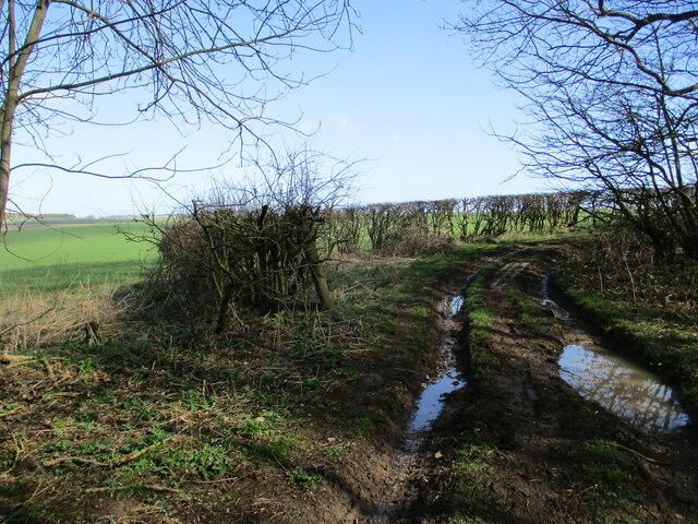
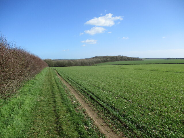
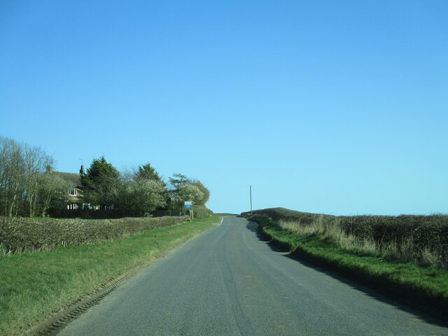
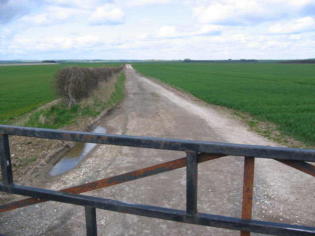
The parish is characterized by its picturesque countryside, rolling hills, and charming rural landscapes. It is surrounded by agricultural land and offers stunning views of the Yorkshire Wolds. The area is known for its tranquil and peaceful atmosphere, making it an ideal place for those seeking a quiet and idyllic lifestyle.

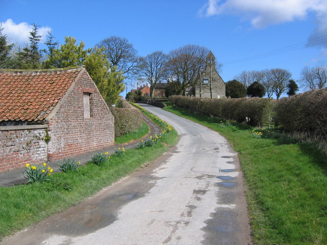
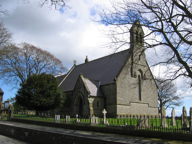
Grindale is home to a handful of historic buildings, including the Grade II listed St. Nicholas' Church. Built in the 12th century, the church is a prominent feature of the local landscape and serves as a place of worship for the community.

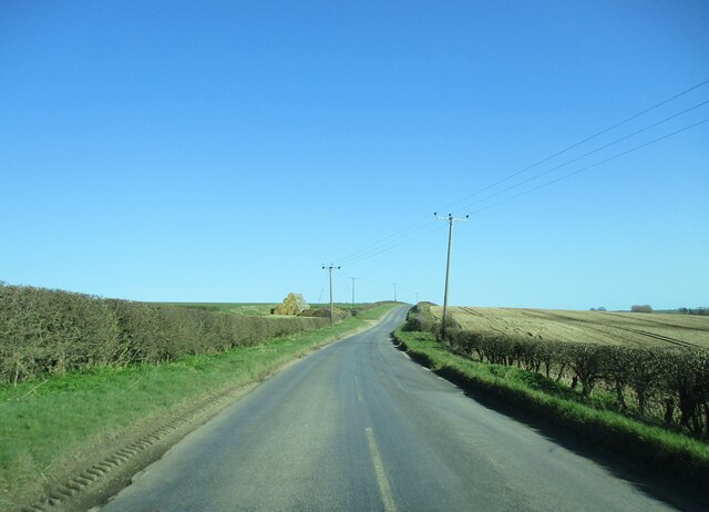
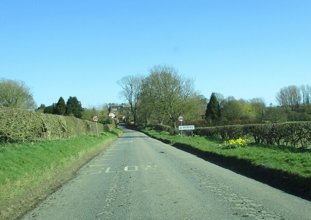
The parish is well-connected to nearby towns and villages, with good road links and public transportation options. Bridlington, with its range of amenities and services, is easily accessible, providing residents with convenient access to schools, shops, healthcare facilities, and leisure activities.

The area surrounding Grindale offers opportunities for outdoor pursuits and exploration. There are numerous walking and cycling routes, allowing residents and visitors to enjoy the beautiful countryside. The nearby coast also provides opportunities for seaside activities, such as beach walks and water sports.

In summary, Grindale is a peaceful and scenic civil parish in Yorkshire, boasting a close-knit community and beautiful rural landscapes. It offers a tranquil lifestyle while providing easy access to nearby amenities and recreational opportunities.

If you have any feedback on the listing, please let us know in the comments section below.
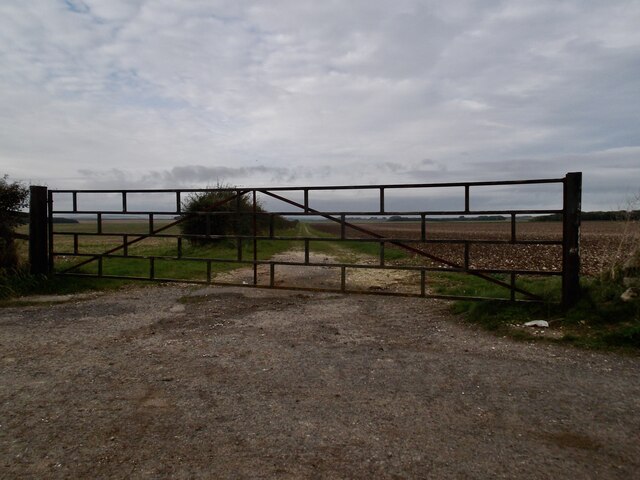
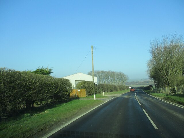
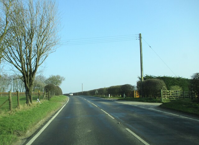
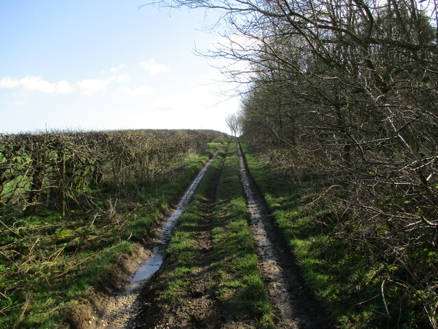
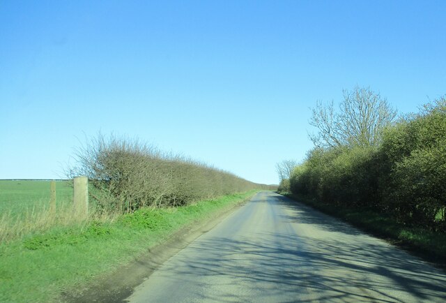
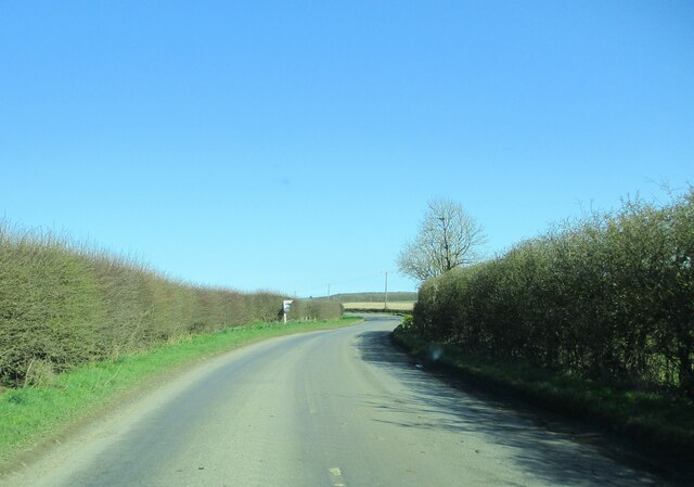
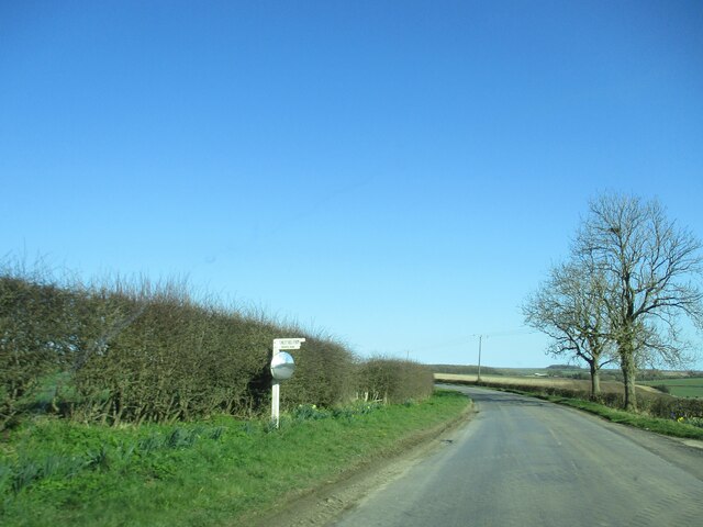
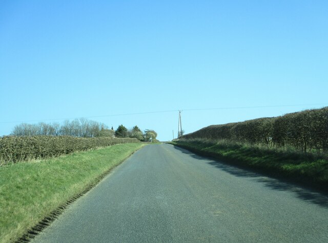
Grindale Images

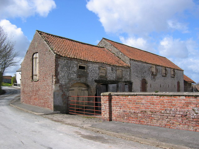
Images are sourced within 2km of 54.12936/-0.267724 or Grid Reference TA1371. Thanks to Geograph Open Source API. All images are credited.

A big gate for a small track
Entrance  to  Southfield  Farm  on  A165
Entrance to Southfield Farm on A165
Access  to  Southfield  Farm  on  the  right A165 going south toward Bridlington
Access to Southfield Farm on the right
A165 going south toward Bridlington
Track  on  the  north  side  of  Fox  Covert  Plantation
Track on the north side of Fox Covert Plantation
Track  going  around  Fox  Covert  Plantation South Dale to the left
Track going around Fox Covert Plantation
South Dale to the left
Field edge  track  on  the  Yorkshire  Wolds Runs from High Caythorpe farm towards Fox Covert Plantation
Field edge track on the Yorkshire Wolds
Runs from High Caythorpe farm towards Fox Covert Plantation
Country  road  toward  Grindale The stack of straw bales to the left are on the site of an old pit
Country road toward Grindale
The stack of straw bales to the left are on the site of an old pit
Entering  Grindale  from  Burton  Fleming
Entering Grindale from Burton Fleming
Country  road  toward  Grindale Arable landscape of the Yorkshire Wolds to the left
Country road toward Grindale
Arable landscape of the Yorkshire Wolds to the left
Approaching  Witch  Lane  junction On road toward Grindale
Approaching Witch Lane junction
On road toward Grindale
Witch  Lane  junction  the  farm  access  from  Finley  Hill  farm
Witch Lane junction the farm access from Finley Hill farm
Grindale  Lane  rising  toward  East  Leys  Farm
Grindale Lane rising toward East Leys Farm
Approaching  the  access  road  to  East  Leys  Farm Also the house at the entrance is aptly named Wolds View
Approaching the access road to East Leys Farm
Also the house at the entrance is aptly named Wolds View
Elizabeth II postbox, Grindale Postbox No. YO16 4.
Newish box which replaces <a href="https://www.geograph.org.uk/photo/4820536">TA1371 : Elizabeth II postbox, Grindale</a>
Elizabeth II postbox, Grindale
Postbox No. YO16 4. Newish box which replaces TA1371 : Elizabeth II postbox, Grindale
East Leys This grid square is all farmland of which this is a typical view looking west.
East Leys
This grid square is all farmland of which this is a typical view looking west.
Grindale Grindale is in the bottom SW corner of the grid square. This view looking NE down the lane to St. Nicholas Church.
Grindale
Grindale is in the bottom SW corner of the grid square. This view looking NE down the lane to St. Nicholas Church.
Grindale Farm Buildings These buildings are at the SW corner of Grindale. St Nicholas Church is situated near the NE end of this lane.
Grindale Farm Buildings
These buildings are at the SW corner of Grindale. St Nicholas Church is situated near the NE end of this lane.
St. Nicholas Church, Grindale The church is situated near the head of the lane in the SE corner of the village.
St. Nicholas Church, Grindale
The church is situated near the head of the lane in the SE corner of the village.
Show me another place!

Grindale is located at Grid Ref: TA1371 (Lat: 54.12936, Lng: -0.267724)

Division: East Riding

Unitary Authority: East Riding of Yorkshire

Police Authority: Humberside

What 3 Words

///uplifting.arose.with. Near Grindale, East Yorkshire

Related Wikis

Grindale

Grindale is a village and civil parish in the East Riding of Yorkshire, England. It is situated approximately 4 miles (6 km) north-west of Bridlington...

Argam

Argam, or Argham (sometimes Ergam, or Ergham), was a civil parish and village in the East Riding of Yorkshire, England. The site is listed in many historical...

Speeton railway station

Speeton railway station served the villages of Speeton and Reighton in North Yorkshire, England. It was situated on the Yorkshire Coast Line from Scarborough...

Speeton

Speeton is a village in the civil parish of Reighton, in North Yorkshire, England. It lies near the edge of the coastal cliffs midway between Filey and...

Nearby Amenities

Located within 500m of 54.12936,-0.267724
Bus Stop
Grindale Main Street
Naptan AtcoCode: 2200YEA01101
Naptan Bearing: S
Naptan CommonName: Grindale Main Street
Naptan Landmark: Near Grindale House
Naptan Street: Main Street
Naptan Verified: no
Source: naptan_import
Lat/Long: 54.1251026/-0.269896
Post Box
Post Box Type: lamp
Ref: YO16 4
Royal Cypher: EIIR
Royal Cypher Wikidata: Q33102113
Lat/Long: 54.1251939/-0.2694925
Telephone
Booth: K6
Covered: booth
Lat/Long: 54.1251814/-0.2694576
Bus Stop
Lat/Long: 54.125139/-0.2693155
The data included in this document is from www.openstreetmap.org. The data is made available under ODbL.

Have you been to Grindale?

Leave your review of Grindale below (or comments, questions and feedback).