Grimstone

Civil Parish in Yorkshire Ryedale

England

Grimstone

Road across Grimston Moor
Road across Grimston Moor Credit: Steven Brown

Grimstone is a small, rural civil parish located in the East Riding of Yorkshire, England. Situated approximately 9 miles south-east of the market town of Malton, Grimstone covers an area of around 4.5 square miles. The parish is bordered by the picturesque Howardian Hills to the north and the stunning Yorkshire Wolds to the south.

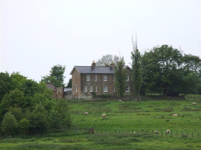
The village itself is home to a close-knit community of around 300 residents. Grimstone is characterized by its charming, traditional stone-built houses and cottages, giving the village a timeless and idyllic feel. The local church, St. Nicholas, is a prominent feature in the parish, dating back to the medieval period and offering a glimpse into Grimstone's historical past.

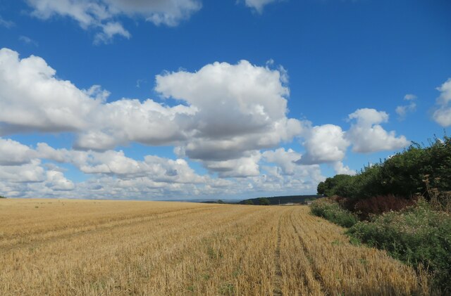
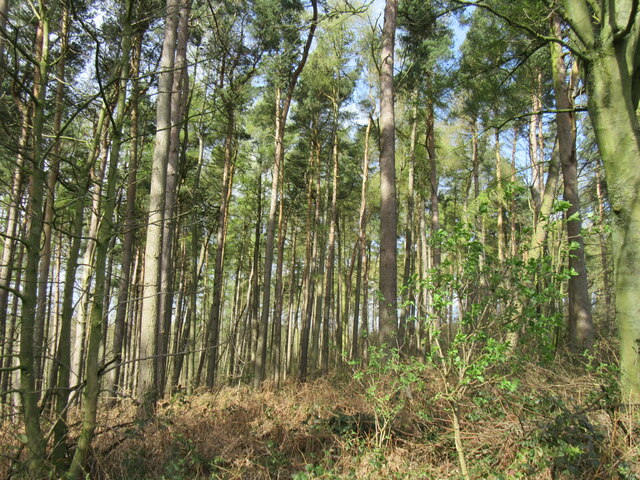
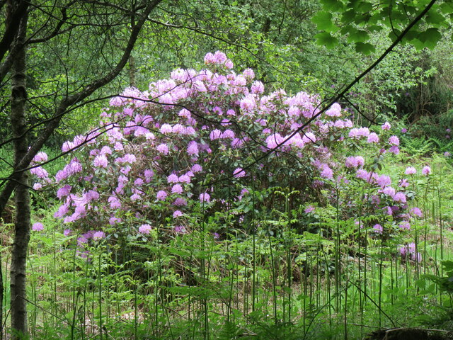
The surrounding countryside is predominantly agricultural, with vast expanses of rolling farmland and fields. The area is known for its fertile soil, making it ideal for farming and the cultivation of crops. The landscape is dotted with grazing livestock, including sheep and cattle, further adding to the rural charm of Grimstone.

Although small in size, Grimstone boasts a strong sense of community spirit. The village holds various social events throughout the year, including a summer fete and a Christmas fair, bringing residents together and fostering a sense of belonging.

Overall, Grimstone offers a peaceful and picturesque setting, providing an escape from the hustle and bustle of city life. It is a place where residents can enjoy the tranquility of the countryside and embrace the beauty of Yorkshire's rural landscape.

If you have any feedback on the listing, please let us know in the comments section below.
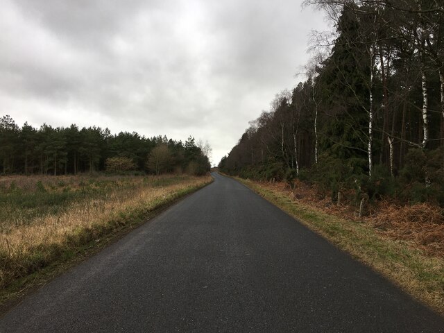
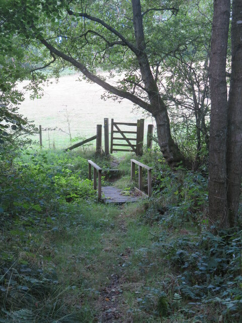
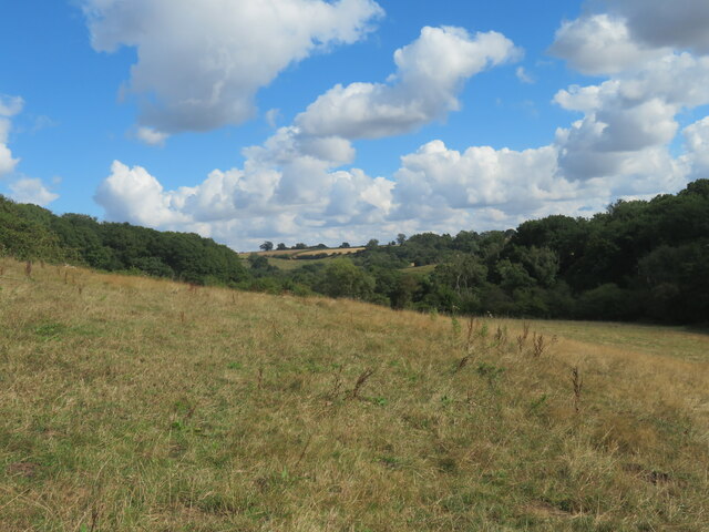
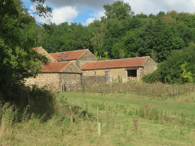
Grimstone Images

Images are sourced within 2km of 54.163067/-1.056263 or Grid Reference SE6174. Thanks to Geograph Open Source API. All images are credited.
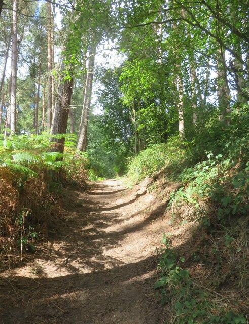
Road across Grimston Moor
Public footpath passing a small reservoir building This path appears to have changed somewhat since other contributors passed this way. The path is now lined either side with rather luxuriant hedges, whilst ahead around the corner one reaches the grounds of an exclusive [and expensive] large property. There will be footpath diversions ahead as well to keep the riff raff well away from the house, but my 2015 edition map doesn't show the changes.
Public footpath passing a small reservoir building
This path appears to have changed somewhat since other contributors passed this way. The path is now lined either side with rather luxuriant hedges, whilst ahead around the corner one reaches the grounds of an exclusive [and expensive] large property. There will be footpath diversions ahead as well to keep the riff raff well away from the house, but my 2015 edition map doesn't show the changes.
Footbridge and gate on footpath below Potter Hill Footpath number 25.24/7 descends through a strip of woodland to reach this bridge over a tiny unnamed beck. Behind the camera position and at the top of the hill are the rather exclusive grounds of Potter Hill where there are footpath diversions.
Footbridge and gate on footpath below Potter Hill
Footpath number 25.24/7 descends through a strip of woodland to reach this bridge over a tiny unnamed beck. Behind the camera position and at the top of the hill are the rather exclusive grounds of Potter Hill where there are footpath diversions.
Valley in the Howardian Hills Path number 25.24/7 passes through what must be one of the quietest areas of the Howardian Hills and the path itself shows little sign of use. This is between the exclusive properties of Potter Hill and Swathgill.
Valley in the Howardian Hills
Path number 25.24/7 passes through what must be one of the quietest areas of the Howardian Hills and the path itself shows little sign of use. This is between the exclusive properties of Potter Hill and Swathgill.
Barns at Swathgill A footpath sign can just be seen left of centre indicating that the path follows a different course to that shown on my 2015 OS map. Beyond the barns to the left is the rather exclusive property of Swathgill House and polite notices advise the hoi polloi that this is private ground. The diverted path now ascends through a mass of nettles and thistles to the right, where one must clamber over a collapsed post and wire fence which has fallen across the path. All part of the fun.
Barns at Swathgill
A footpath sign can just be seen left of centre indicating that the path follows a different course to that shown on my 2015 OS map. Beyond the barns to the left is the rather exclusive property of Swathgill House and polite notices advise the hoi polloi that this is private ground. The diverted path now ascends through a mass of nettles and thistles to the right, where one must clamber over a collapsed post and wire fence which has fallen across the path. All part of the fun.
Heading for Coulton Footpath number 25.24/6 follows this field edge towards Coulton. No doubt progress would have been more difficult before the cereal crop was harvested.
Heading for Coulton
Footpath number 25.24/6 follows this field edge towards Coulton. No doubt progress would have been more difficult before the cereal crop was harvested.
Bridge over tiny beck The bridge carries a private road to Potter Hill Farm, which has the appearance of a multi million pound mansion rather than a humble farmhouse and barns. The footpath through Mug Dale emerges on to the road, crosses the bridge and then heads off into the surrounding woodland.
Bridge over tiny beck
The bridge carries a private road to Potter Hill Farm, which has the appearance of a multi million pound mansion rather than a humble farmhouse and barns. The footpath through Mug Dale emerges on to the road, crosses the bridge and then heads off into the surrounding woodland.
Steep path in Mugdale Wood Bridleway path ascending through woodland above Mug Dale.
Steep path in Mugdale Wood
Bridleway path ascending through woodland above Mug Dale.
Bridleway towards Maidensworth Farm The bridleway is number 25.42/3 and runs almost in a straight line past Maidensworth Farm to reach the road.
Bridleway towards Maidensworth Farm
The bridleway is number 25.42/3 and runs almost in a straight line past Maidensworth Farm to reach the road.
Old milepost Another one of the Mattison's of Bedale Highways District posts with the wrong hands.   It was cast in the late 19thC.     The current Ryedale Urban District Council are good at looking after and even replacing lost mileposts.  In January 2007 this one was found horizontal and out of the ground.   It was reset in February 2007 but is now ready for a repaint.
Old milepost
Another one of the Mattison's of Bedale Highways District posts with the wrong hands. It was cast in the late 19thC. The current Ryedale Urban District Council are good at looking after and even replacing lost mileposts. In January 2007 this one was found horizontal and out of the ground. It was reset in February 2007 but is now ready for a repaint.
Old milepost This is what the post looked like after it had been toppled over in 2007.   That's a huge chunk of concrete that it is fastened to.
Old milepost
This is what the post looked like after it had been toppled over in 2007. That's a huge chunk of concrete that it is fastened to.
Old milepost A view southwards showing the very narrow verge where this milepost is set.   The hedge has been kept cut back so the post is always visible.
Old milepost
A view southwards showing the very narrow verge where this milepost is set. The hedge has been kept cut back so the post is always visible.
New milepost This is one of several replacement mileposts set up by Ryedale Urban District Council about 2010/11.  They were cast at Cleveland Corrosion in Staithes.   Authentic, as they have the hands pointing the wrong way as the original was cast by Mattison's of Bedale.
New milepost
This is one of several replacement mileposts set up by Ryedale Urban District Council about 2010/11. They were cast at Cleveland Corrosion in Staithes. Authentic, as they have the hands pointing the wrong way as the original was cast by Mattison's of Bedale.
Mugdale Wood At the top of the hill.
Mugdale Wood
At the top of the hill.
Blossom Tree a Blossom tree near Grimston Manor.
Blossom Tree
a Blossom tree near Grimston Manor.
Grimston view Looking west.
Grimston view
Looking west.
Rhododendron bush A Rhododendron bush in Yearsley Woods.
Rhododendron bush
A Rhododendron bush in Yearsley Woods.
Stubble  field  toward  Coney  Hill  Farm The roofs of Coney Hill Farm can be seen centre at the field end.
Stubble field toward Coney Hill Farm
The roofs of Coney Hill Farm can be seen centre at the field end.
Show me another place!

Grimstone is located at Grid Ref: SE6174 (Lat: 54.163067, Lng: -1.056263)

Division: North Riding

Administrative County: North Yorkshire

District: Ryedale

Police Authority: North Yorkshire

What 3 Words

///eternally.stop.started. Near Sheriff Hutton, North Yorkshire

Related Wikis

Grimstone, North Yorkshire

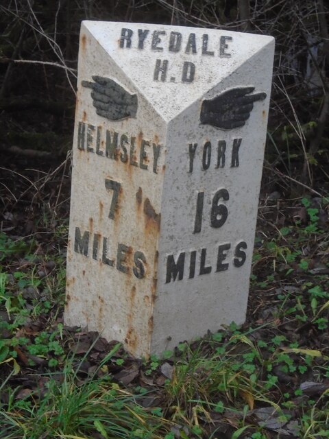
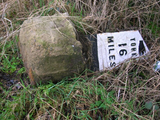
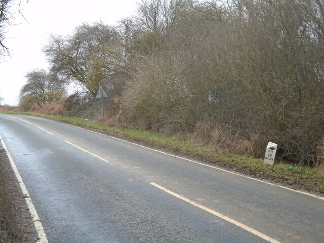
Grimstone or Grimston is a hamlet and civil parish in North Yorkshire, England. It lies beside the main B1363 road between York and Helmsley. Grimston...

Coulton, North Yorkshire

Coulton is a village and civil parish in the Ryedale district of North Yorkshire, England, it is about 6 miles (9.7 km) south of Helmsley. == History... ==

St Martin's Ampleforth

St Martin's Ampleforth (SMA) was a private school and the preparatory school for Ampleforth College, which closed in July 2020. Until 2018 it was at Gilling...

Gilling Castle

Gilling Castle is a Grade I listed country house near Gilling East, North Yorkshire, England (grid reference SE611768). == History == The castle was originally...

Nearby Amenities

Located within 500m of 54.163067,-1.056263
Manor Wood
Place: farm
Lat/Long: 54.1626098/-1.0549202
Beech Cottage
Place: isolated_dwelling
Lat/Long: 54.1628502/-1.0534368
The data included in this document is from www.openstreetmap.org. The data is made available under ODbL.

Have you been to Grimstone?

Leave your review of Grimstone below (or comments, questions and feedback).