Grindale Field
Downs, Moorland in Yorkshire
England
Grindale Field
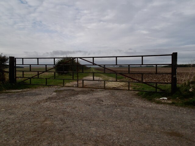
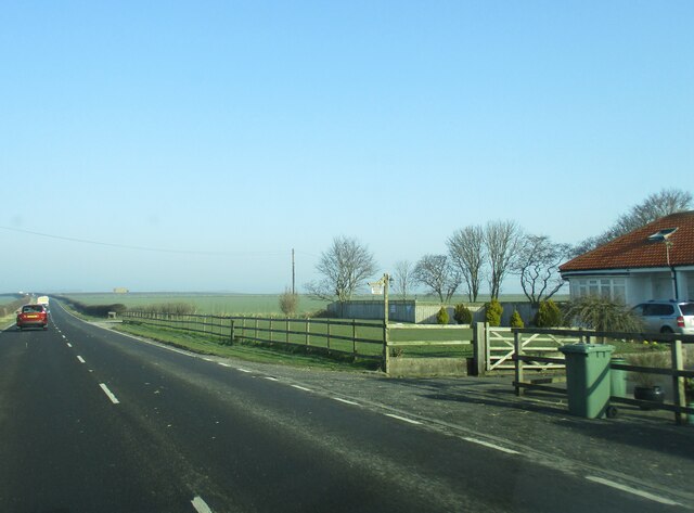
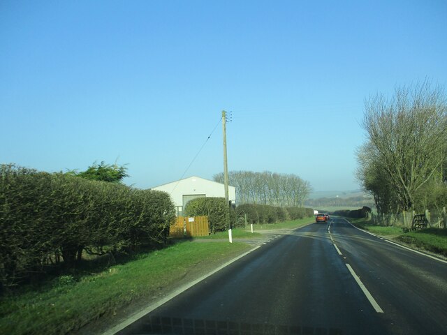
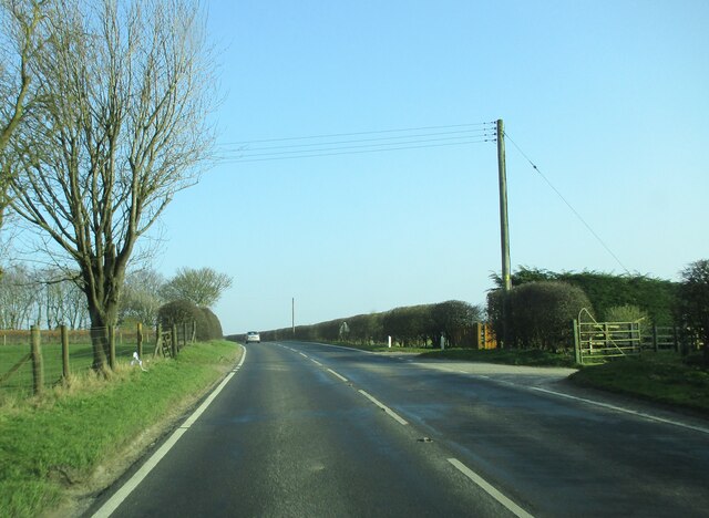
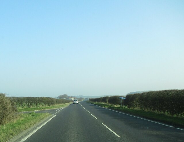
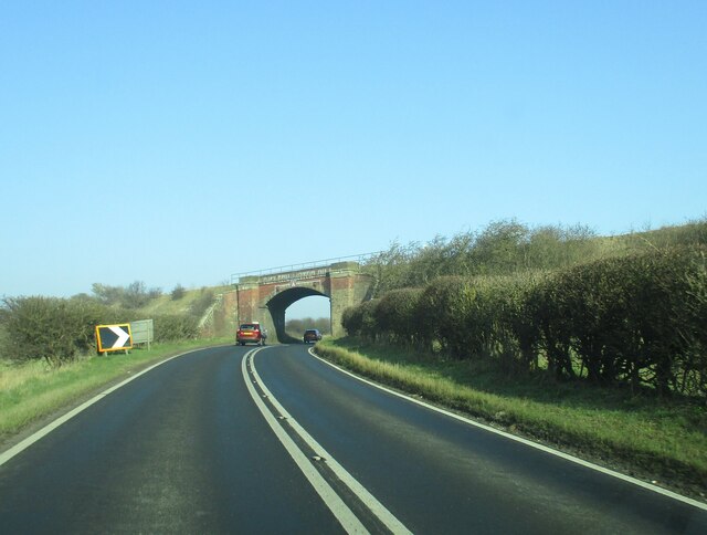
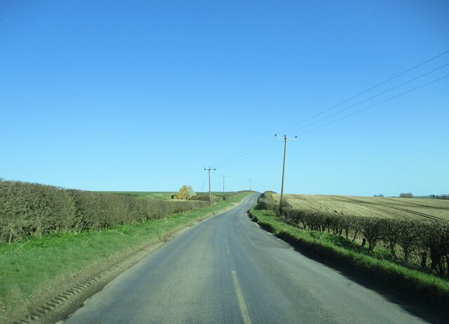
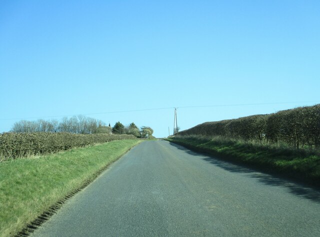
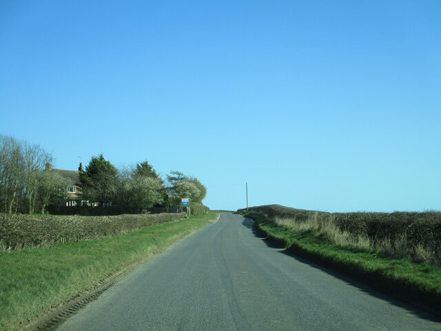
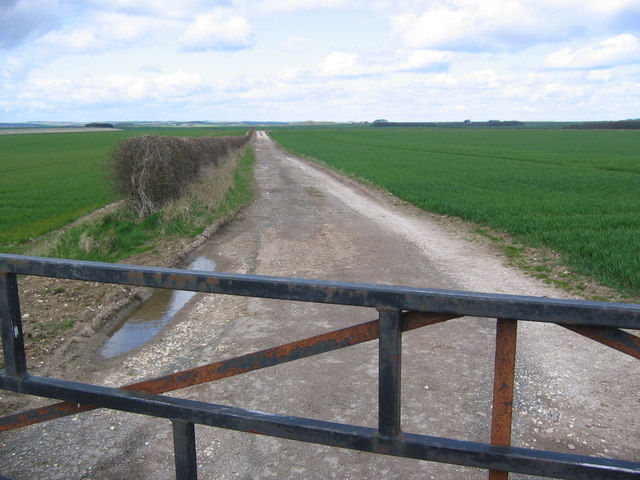
Grindale Field, located in Yorkshire, England, is a picturesque area encompassing a combination of downs and moorland. Stretching across a vast expanse, the field offers a diverse landscape with rolling hills, open grasslands, and rugged moorland terrain.
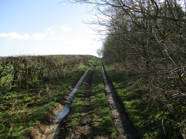
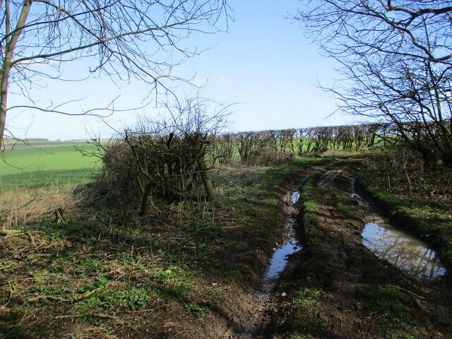
The downs section of Grindale Field is characterized by its gently sloping hills and lush greenery. It is a favorite spot for locals and visitors alike, providing an ideal setting for picnics, leisurely walks, and outdoor recreational activities. The vibrant flora and fauna that thrive in this region add to its appeal, with colorful wildflowers dotting the landscape during the spring and summer months.
On the other hand, the moorland area of Grindale Field presents a more rugged and untamed environment. With its rocky outcrops, heather-covered hills, and expansive open spaces, it offers a unique sense of tranquility and isolation. The moorland is home to various bird species, including curlews, lapwings, and red grouse, making it a popular destination for birdwatchers and nature enthusiasts.
Grindale Field also boasts several walking trails that cater to different abilities, allowing visitors to explore the area at their own pace. These paths provide breathtaking views of the surrounding countryside, including glimpses of the North Sea in the distance.
Overall, Grindale Field, with its combination of downs and moorland, offers a diverse and captivating landscape that appeals to nature lovers, hikers, and those seeking a peaceful retreat in the heart of Yorkshire.
If you have any feedback on the listing, please let us know in the comments section below.
Grindale Field Images
Images are sourced within 2km of 54.131056/-0.2626214 or Grid Reference TA1371. Thanks to Geograph Open Source API. All images are credited.


Grindale Field is located at Grid Ref: TA1371 (Lat: 54.131056, Lng: -0.2626214)
Division: East Riding
Unitary Authority: East Riding of Yorkshire
Police Authority: Humberside
What 3 Words
///grinders.procures.convinces. Near Grindale, East Yorkshire
Nearby Locations
Related Wikis

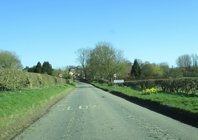
Grindale
Grindale is a village and civil parish in the East Riding of Yorkshire, England. It is situated approximately 4 miles (6 km) north-west of Bridlington...

Speeton railway station
Speeton railway station served the villages of Speeton and Reighton in North Yorkshire, England. It was situated on the Yorkshire Coast Line from Scarborough...

Argam
Argam, or Argham (sometimes Ergam, or Ergham), was a civil parish and village in the East Riding of Yorkshire, England. The site is listed in many historical...

Speeton
Speeton is a village in the civil parish of Reighton, in North Yorkshire, England. It lies near the edge of the coastal cliffs midway between Filey and...
Have you been to Grindale Field?
Leave your review of Grindale Field below (or comments, questions and feedback).