Grindale

Settlement in Yorkshire

England

Grindale

A big gate for a small track
A big gate for a small track Credit: David Brown

Grindale is a small village located in the East Riding of Yorkshire, England. Situated approximately 5 miles southwest of Bridlington, it falls within the civil parish of Boynton. Grindale is surrounded by picturesque countryside, offering residents and visitors a serene and tranquil setting.

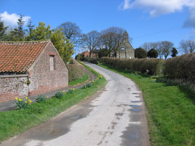
The village itself is known for its charming and quaint atmosphere, with traditional stone-built houses lining the narrow streets. The population of Grindale is relatively small, with around 200 residents, giving it a close-knit community feel. The local economy is mainly based on agriculture, with some residents involved in farming and livestock rearing.

One of the notable landmarks in Grindale is the St. Nicholas Church, a beautiful medieval structure dating back to the 12th century. The church's architecture and stained glass windows attract history enthusiasts and visitors interested in cultural heritage.

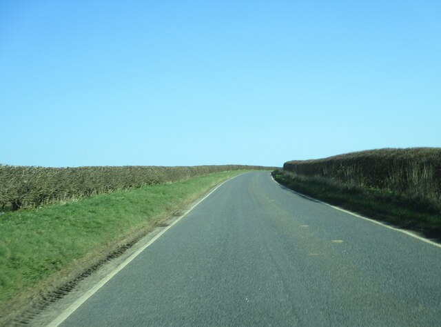
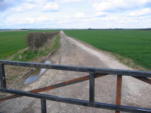
Grindale benefits from its proximity to the stunning Yorkshire Wolds, a range of rolling hills and valleys that offer breathtaking scenic views. The village is a popular destination for outdoor enthusiasts and hikers, with several walking trails and footpaths nearby.

Although Grindale is a small village, it does not lack amenities. There is a local pub, The Black Swan, which serves as a social hub for the community. Additionally, Grindale has a village hall that hosts various events and gatherings throughout the year, fostering a sense of community spirit.

Overall, Grindale is a charming and peaceful village, appealing to those seeking a quieter and slower-paced lifestyle in the heart of the Yorkshire countryside.

If you have any feedback on the listing, please let us know in the comments section below.
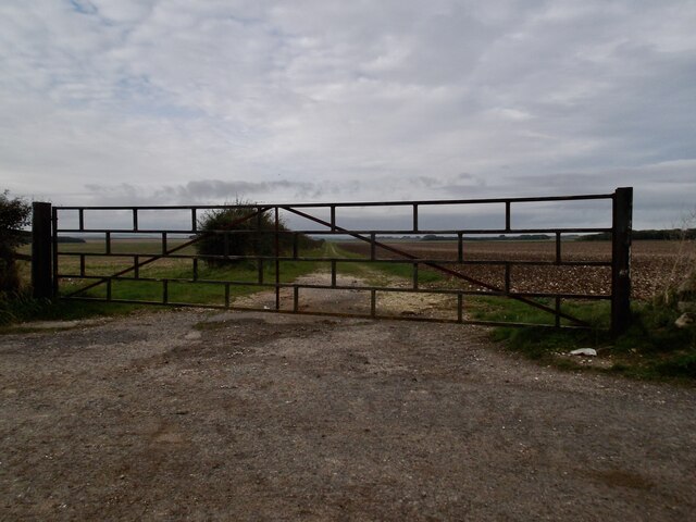
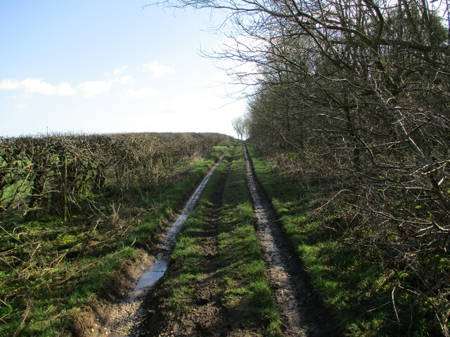
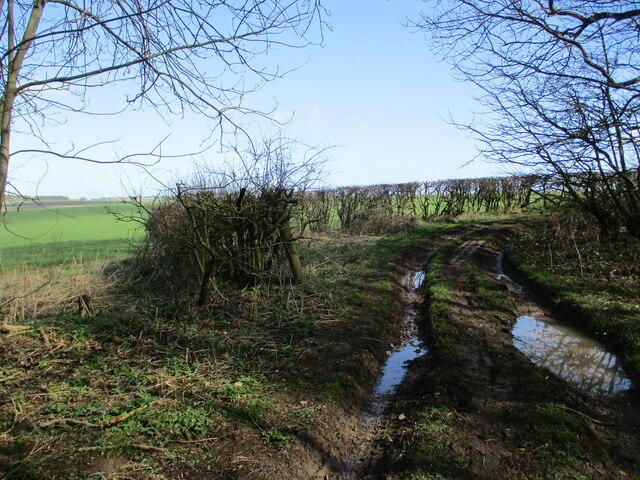
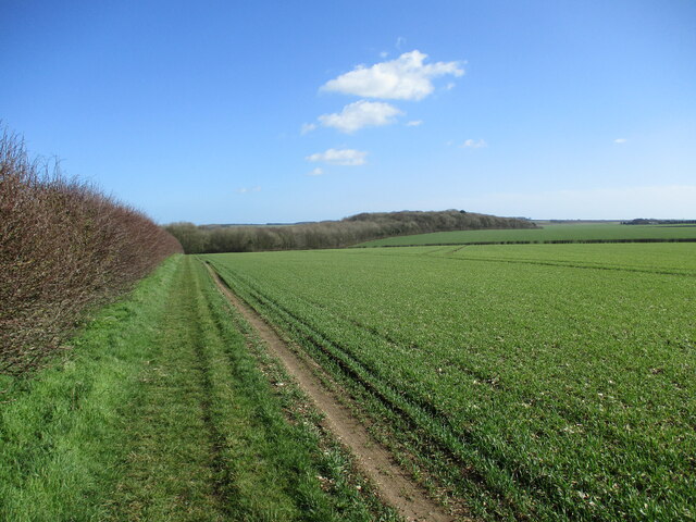
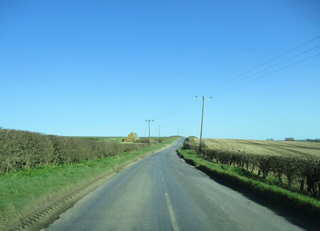
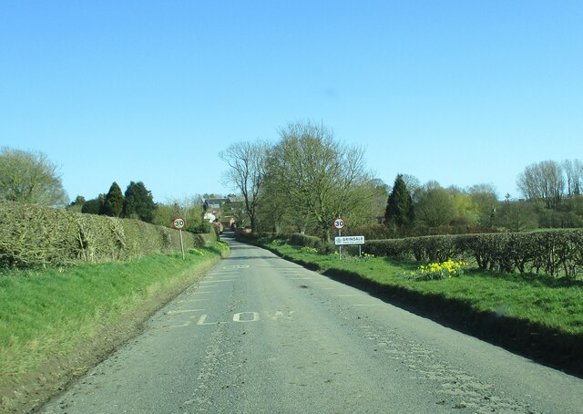
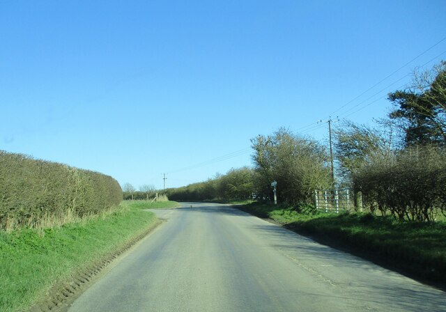
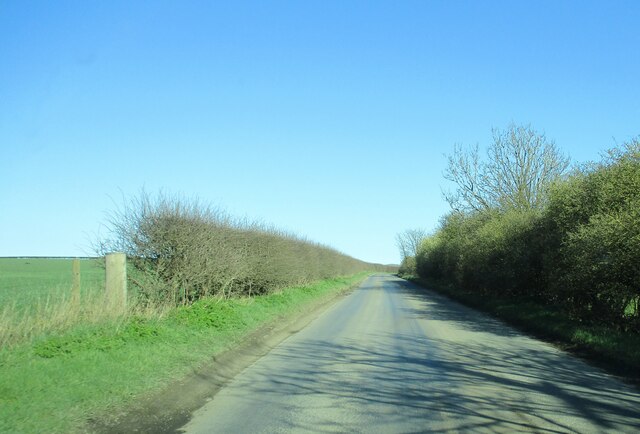
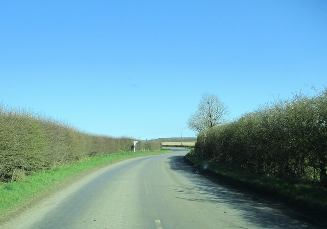
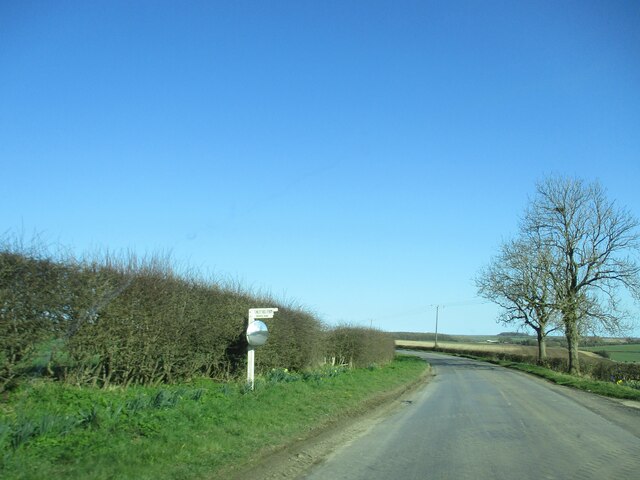
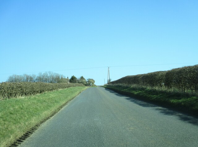
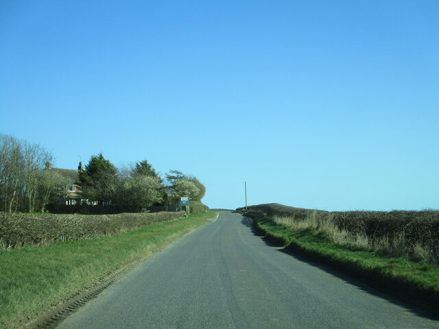
Grindale Images

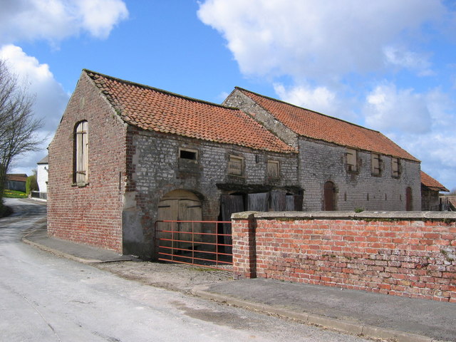
Images are sourced within 2km of 54.125105/-0.269967 or Grid Reference TA1371. Thanks to Geograph Open Source API. All images are credited.

A big gate for a small track
Grindale Lane
Grindale Lane
Track  on  the  north  side  of  Fox  Covert  Plantation
Track on the north side of Fox Covert Plantation
Track  going  around  Fox  Covert  Plantation South Dale to the left
Track going around Fox Covert Plantation
South Dale to the left
Field edge  track  on  the  Yorkshire  Wolds Runs from High Caythorpe farm towards Fox Covert Plantation
Field edge track on the Yorkshire Wolds
Runs from High Caythorpe farm towards Fox Covert Plantation
Country  road  toward  Grindale The stack of straw bales to the left are on the site of an old pit
Country road toward Grindale
The stack of straw bales to the left are on the site of an old pit
Entering  Grindale  from  Burton  Fleming
Entering Grindale from Burton Fleming
Country  road  junction  and  farm  access  entrance The road to the left goes up over Reighton Field to the A165. Just beyond the signpost on the right is the access track to Argham farm.
Country road junction and farm access entrance
The road to the left goes up over Reighton Field to the A165. Just beyond the signpost on the right is the access track to Argham farm.
Country  road  toward  Grindale Arable landscape of the Yorkshire Wolds to the left
Country road toward Grindale
Arable landscape of the Yorkshire Wolds to the left
Approaching  Witch  Lane  junction On road toward Grindale
Approaching Witch Lane junction
On road toward Grindale
Witch  Lane  junction  the  farm  access  from  Finley  Hill  farm
Witch Lane junction the farm access from Finley Hill farm
Grindale  Lane  rising  toward  East  Leys  Farm
Grindale Lane rising toward East Leys Farm
Approaching  the  access  road  to  East  Leys  Farm Also the house at the entrance is aptly named Wolds View
Approaching the access road to East Leys Farm
Also the house at the entrance is aptly named Wolds View
Grindale  Lane  toward  Bridlington
Grindale Lane toward Bridlington
Elizabeth II postbox, Grindale Postbox No. YO16 4.
Newish box which replaces <a href="https://www.geograph.org.uk/photo/4820536">TA1371 : Elizabeth II postbox, Grindale</a>
Elizabeth II postbox, Grindale
Postbox No. YO16 4. Newish box which replaces TA1371 : Elizabeth II postbox, Grindale
East Leys This grid square is all farmland of which this is a typical view looking west.
East Leys
This grid square is all farmland of which this is a typical view looking west.
Grindale Grindale is in the bottom SW corner of the grid square. This view looking NE down the lane to St. Nicholas Church.
Grindale
Grindale is in the bottom SW corner of the grid square. This view looking NE down the lane to St. Nicholas Church.
Grindale Farm Buildings These buildings are at the SW corner of Grindale. St Nicholas Church is situated near the NE end of this lane.
Grindale Farm Buildings
These buildings are at the SW corner of Grindale. St Nicholas Church is situated near the NE end of this lane.
Show me another place!

Grindale is located at Grid Ref: TA1371 (Lat: 54.125105, Lng: -0.269967)

Division: East Riding

Unitary Authority: East Riding of Yorkshire

Police Authority: Humberside

What 3 Words

///handfuls.rooting.shoving. Near Grindale, East Yorkshire

Related Wikis

Grindale

Grindale is a village and civil parish in the East Riding of Yorkshire, England. It is situated approximately 4 miles (6 km) north-west of Bridlington...

Argam

Argam, or Argham (sometimes Ergam, or Ergham), was a civil parish and village in the East Riding of Yorkshire, England. The site is listed in many historical...

Speeton railway station

Speeton railway station served the villages of Speeton and Reighton in North Yorkshire, England. It was situated on the Yorkshire Coast Line from Scarborough...

Boynton, East Riding of Yorkshire

Boynton is a village and civil parish in the East Riding of Yorkshire, England. It is situated approximately 3 miles (5 km) west of the town of Bridlington...

Nearby Amenities

Located within 500m of 54.125105,-0.269967
Grindale
Is In: East Riding of Yorkshire, England, UK
Place: village
Source: npe
Lat/Long: 54.1246512/-0.2710535
Bus Stop
Grindale Main Street
Naptan AtcoCode: 2200YEA01101
Naptan Bearing: S
Naptan CommonName: Grindale Main Street
Naptan Landmark: Near Grindale House
Naptan Street: Main Street
Naptan Verified: no
Source: naptan_import
Lat/Long: 54.1251026/-0.269896
Post Box
Post Box Type: lamp
Ref: YO16 4
Royal Cypher: EIIR
Royal Cypher Wikidata: Q33102113
Lat/Long: 54.1251939/-0.2694925
Telephone
Booth: K6
Covered: booth
Lat/Long: 54.1251814/-0.2694576
Bus Stop
Lat/Long: 54.125139/-0.2693155
Power: pole
Lat/Long: 54.1273028/-0.2752666
Power: pole
Lat/Long: 54.1266357/-0.2744127
Power: pole
Lat/Long: 54.1261641/-0.2738167
Power: pole
Lat/Long: 54.1253742/-0.2735186
Power: pole
Lat/Long: 54.1245546/-0.273226
Power: pole
Lat/Long: 54.1237667/-0.2729313
Power: pole
Transformer: distribution
Lat/Long: 54.1231217/-0.2724522
Power: pole
Lat/Long: 54.122952/-0.2726318
Power: pole
Lat/Long: 54.1220113/-0.2722926
Power: pole
Lat/Long: 54.1217238/-0.2714179
Power: pole
Lat/Long: 54.1212631/-0.2700076
Power: pole
Lat/Long: 54.123888/-0.2716343
Line Management: termination
Power: pole
Transformer: distribution
Lat/Long: 54.1245707/-0.2709094
Power: pole
Lat/Long: 54.1207893/-0.2685786
The data included in this document is from www.openstreetmap.org. The data is made available under ODbL.

Have you been to Grindale?

Leave your review of Grindale below (or comments, questions and feedback).