Great Gaddesden

Civil Parish in Hertfordshire Dacorum

England

Great Gaddesden

Field by Leighton Buzzard Road, Water End
Field by Leighton Buzzard Road, Water End Credit: David Howard

Great Gaddesden is a civil parish located in the county of Hertfordshire, England. It is situated approximately 30 miles northwest of London and covers an area of around 3 square miles. The parish is part of the Dacorum district and is surrounded by picturesque countryside, offering stunning views and a peaceful atmosphere.

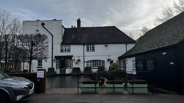
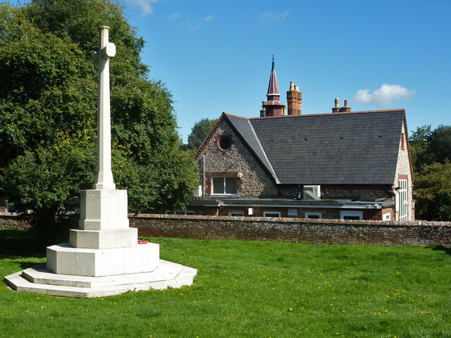
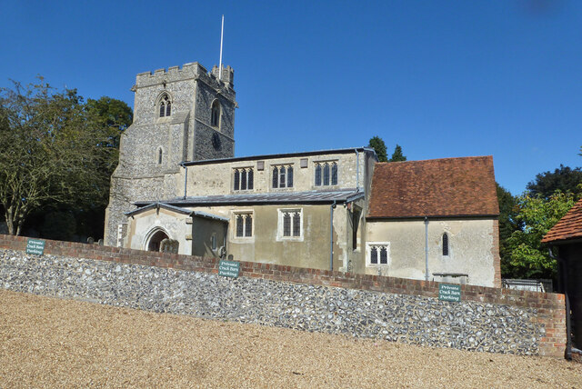
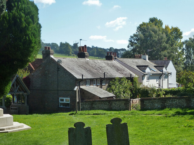
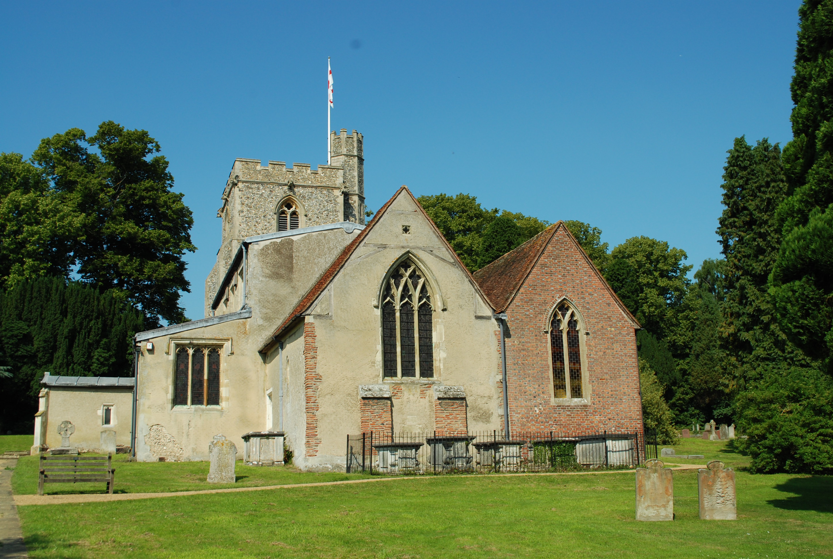
The village of Great Gaddesden itself is small and rural, with a population of around 400 residents. It is characterized by its charming mix of old and new buildings, including traditional thatched cottages and modern houses. The centerpiece of the village is the 13th-century St. John the Baptist Church, which boasts impressive architectural features and is a prominent landmark in the area.

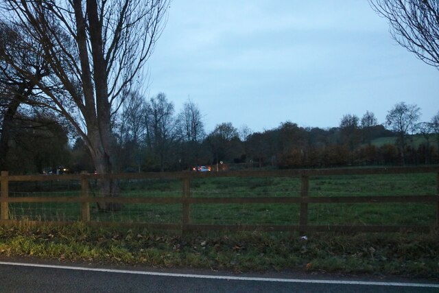
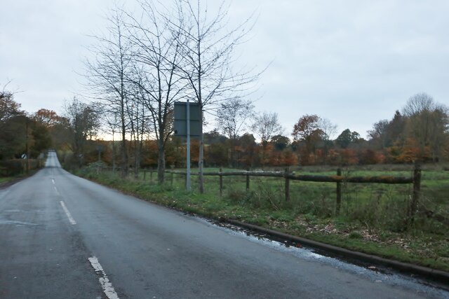
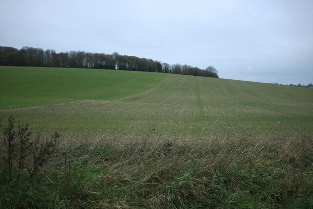
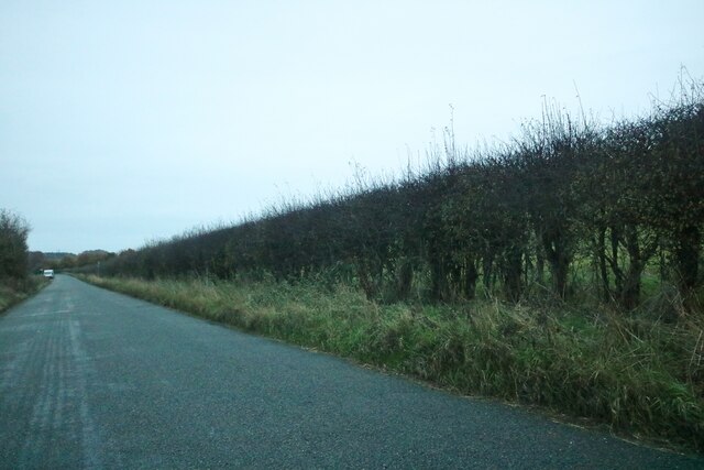
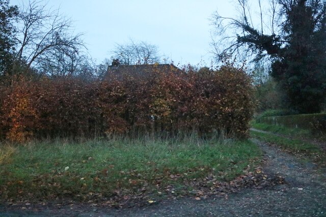
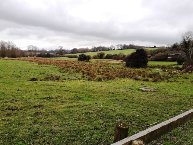
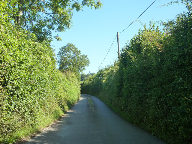
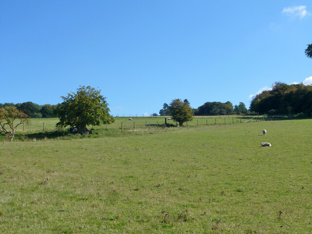
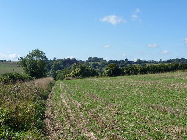
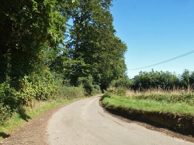
The surrounding countryside is predominantly agricultural, with rolling hills, meadows, and woodland. The area is known for its natural beauty and offers ample opportunities for outdoor activities such as hiking, cycling, and horse riding. The Ashridge Estate, a National Trust site, is located nearby and attracts visitors with its extensive network of walking trails and historic landmarks.

Great Gaddesden is well-connected to neighboring towns and cities, with good road links to Hemel Hempstead and Berkhamsted. The village also benefits from a local primary school, as well as a village hall that hosts various community events and activities.

Overall, Great Gaddesden offers a tranquil and idyllic setting for those seeking a rural lifestyle within easy reach of urban amenities. Its natural beauty, historic landmarks, and close-knit community make it an attractive place to live or visit.

If you have any feedback on the listing, please let us know in the comments section below.

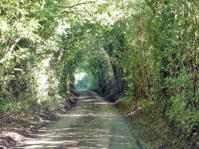
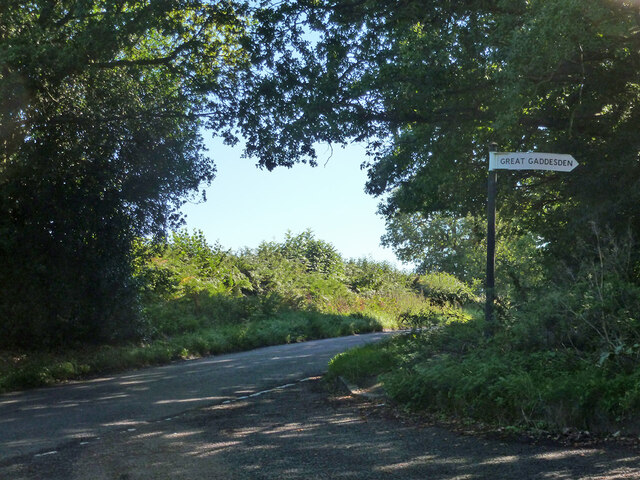
Great Gaddesden Images

Images are sourced within 2km of 51.792277/-0.486438 or Grid Reference TL0411. Thanks to Geograph Open Source API. All images are credited.

Field by Leighton Buzzard Road, Water End
Potten End Hill, Water End
Field in Water End Looking towards Highpark Wood.
Field in Water End
Looking towards Highpark Wood.
Nettleden Road, Water End
Hidden house on Nettleden Road, Water End
The Red Lion Pub, Leighton Buzzard Road
The Gade Valley A view down the Gade valley from Pipers Hill in Great Gaddesden.
The Gade Valley
A view down the Gade valley from Pipers Hill in Great Gaddesden.
Great Gaddesden - war memorial and primary school
Great Gaddesden church St. John the Baptist's is a grade I listed building, 12th century onwards.
Great Gaddesden church
St. John the Baptist's is a grade I listed building, 12th century onwards.
Graveyard, Great Gaddesden An extension of the churchyard.
Graveyard, Great Gaddesden
An extension of the churchyard.
Graveyard, Great Gaddesden An extension of the churchyard.
Graveyard, Great Gaddesden
An extension of the churchyard.
Houses by churchyard, Great Gaddesden
Ledgemore Lane, Great Gaddesden
Fields with a few sheep East of Ledgemore Lane.
Fields with a few sheep
East of Ledgemore Lane.
Behind the hedge, Ledgemore Lane
Ledgemore Lane The narrow strip of woodland to the left is Hoo Belt.
Ledgemore Lane
The narrow strip of woodland to the left is Hoo Belt.
Ledgemore Lane Heading north.
Ledgemore Lane
Heading north.
Gaddesden Row at Ledgemore Lane junction
Show me another place!

Great Gaddesden is located at Grid Ref: TL0411 (Lat: 51.792277, Lng: -0.486438)

Administrative County: Hertfordshire

District: Dacorum

Police Authority: Hertfordshire

What 3 Words

///consoles.hugs.consults. Near Hemel Hempstead, Hertfordshire

Related Wikis

Gaddesden Place

Gaddesden Place, near Hemel Hempstead in Hertfordshire, England, was designed by architect James Wyatt and built between 1768 and 1773, and was the home...

Golden Parsonage

The Golden Parsonage is a Grade II* listed country house in Great Gaddesden, Hertfordshire, and is part of the Gaddesden Estate. The house remains in the...

The Hoo, Great Gaddesden

The Hoo is a Grade II* listed country house in Great Gaddesden, Hertfordshire, England. It dates from around 1683. In 1944 it was in use as a maternity...

Great Gaddesden

Great Gaddesden is a village and civil parish in Dacorum Hundred in Hertfordshire, England. It is located in the Chiltern Hills, north of Hemel Hempstead...

Gaddesden Hall

Gaddesden Hall is a Grade II* listed manor house in Water End, Great Gaddesden, Hertfordshire, England. It was the manor-house for the manor of Southall...

Amaravati Buddhist Monastery

Amaravati is a Theravada Buddhist monastery at the eastern end of the Chiltern Hills in South East England. Established in 1984 by Ajahn Sumedho as an...

130–136 Piccotts End

130–136 Piccotts End is a medieval timber framed building in Piccotts End in Hertfordshire, England. Originally a hall house, the structure has been divided...

Piccotts End

Piccotts End is a village in Hertfordshire, England situated on the upper River Gade. While often mistaken for a hamlet, it became a village when its church...

Nearby Amenities

Located within 500m of 51.792277,-0.486438
Briden's Camp
Place: hamlet
Lat/Long: 51.7884439/-0.4881591
Landuse: farm
Note Retag: CS #48756035
Lat/Long: 51.7944372/-0.4912322
FIXME: ?building?
Created By: Potlatch 0.10
Lat/Long: 51.789835/-0.491811
Bus Stop
Crown and Sceptre PH
Bench: yes
Bus: yes
Departures Board: timetable
Naptan AtcoCode: 210021405500
Naptan Bearing: SW
Naptan CommonName: Crown and Sceptre PH
Naptan Crossing: Crown and Sceptre PH
Naptan Indicator: adj
Naptan Landmark: Crown and Sceptre PH
Naptan NaptanCode: hrtdjdtp
Naptan ShortCommonName: NA
Naptan Street: Briden's Camp
Naptan Verified: no
Public Transport: platform
Shelter: yes
Source: naptan_import
Lat/Long: 51.7888985/-0.4883019
Crown and Sceptre PH
Naptan AtcoCode: 210021407340
Naptan Bearing: NE
Naptan BusStopType: CUS
Naptan CommonName: Crown and Sceptre PH
Naptan Crossing: opp Crown and Sceptre PH
Naptan Indicator: opp
Naptan Landmark: opp Crown and Sceptre PH
Naptan NaptanCode: hrtdjdjg
Naptan ShortCommonName: NA
Naptan Street: Briden's Camp
Naptan Verified: no
Source: naptan_import
Lat/Long: 51.7889219/-0.4885425
Post Box
Note: Information plate missing: per Royal Mail list, this should be box ref HP2 141
Operator: Royal Mail
Post Box Type: wall
Royal Cypher: VR
Royal Cypher Wikidata: Q33102356
Source: survey
Survey Date: 2015-08-16
Lat/Long: 51.7894303/-0.4875022
Turning Circle
Lat/Long: 51.7910968/-0.4875576
Direction: 135
Generator Method: photovoltaic
Generator Output Electricity: yes
Generator Solar Modules: 119
Generator Source: solar
Generator Type: solar_photovoltaic_panel
Location: roof
Power: generator
Tilt: 20
Lat/Long: 51.7946793/-0.4907085
Power: pole
Lat/Long: 51.7893396/-0.4872463
Power: pole
Lat/Long: 51.7881798/-0.4856594
Power: pole
Lat/Long: 51.7884597/-0.4865364
Power: pole
Lat/Long: 51.7939975/-0.4922129
Power: pole
Lat/Long: 51.7946364/-0.4924989
Barrier: kissing_gate
Lat/Long: 51.7926125/-0.4876054
The data included in this document is from www.openstreetmap.org. The data is made available under ODbL.

Have you been to Great Gaddesden?

Leave your review of Great Gaddesden below (or comments, questions and feedback).