Big Wood
Wood, Forest in Hertfordshire Dacorum
England
Big Wood
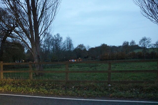
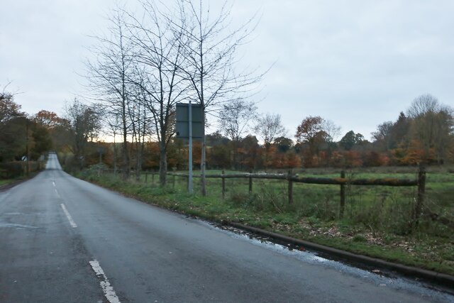
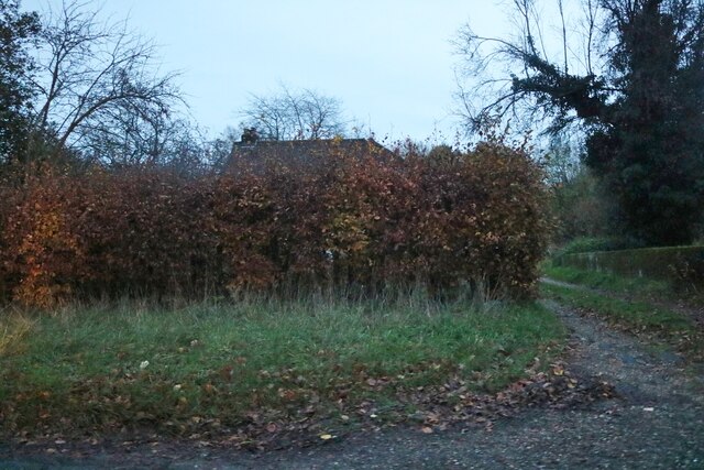
Big Wood, located in Hertfordshire, England, is a captivating natural forest that spans over a vast area. Comprising primarily of dense woodland, it offers a rich variety of flora and fauna, making it an ideal destination for nature enthusiasts and outdoor adventurers alike.
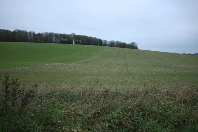
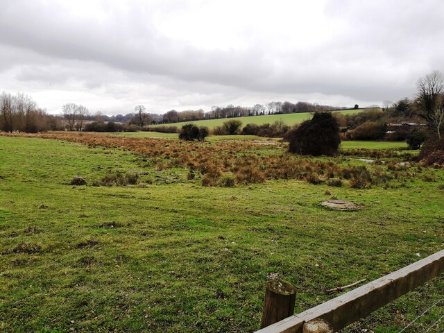
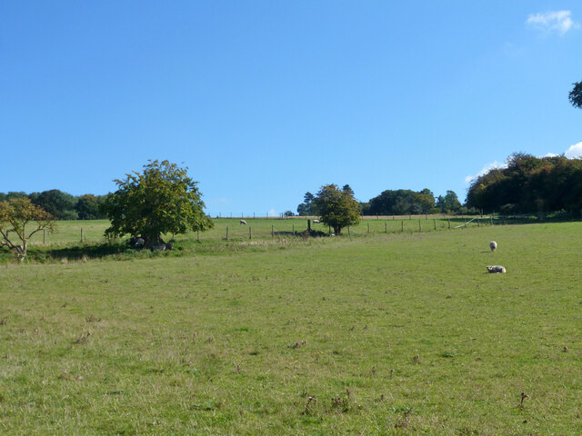
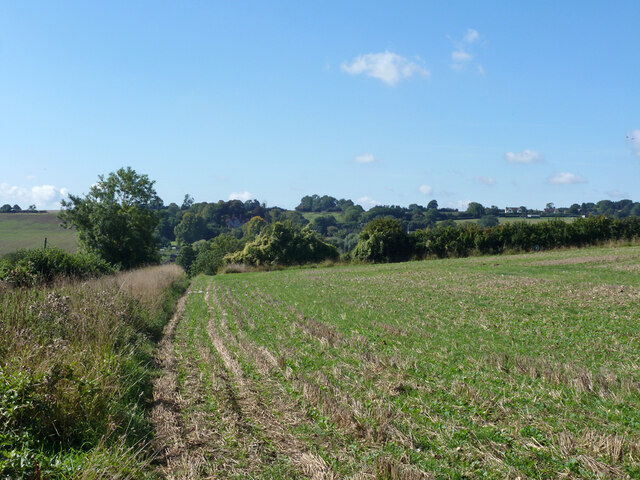
Covering an approximate area of several hundred acres, Big Wood boasts a diverse range of tree species, including oak, beech, birch, and chestnut. These towering trees create a magnificent canopy, providing shade and shelter for the multitude of wildlife that call this woodland home. The forest floor is adorned with an array of wildflowers, ferns, and mosses, creating a vibrant and picturesque landscape.
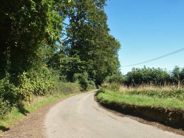
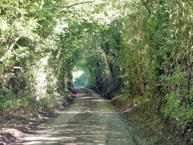
Traversing the woodland, visitors will find a network of well-maintained footpaths and trails, allowing for leisurely walks and explorations. The paths wind through the forest, leading visitors to hidden glades, babbling brooks, and tranquil ponds. The peaceful ambiance of Big Wood offers a perfect escape from the hustle and bustle of everyday life.
Wildlife enthusiasts will be delighted by the diverse array of animals that inhabit the woodland. Deer, rabbits, squirrels, and foxes can often be spotted darting between the trees, while a variety of bird species fill the air with their melodious songs. Nature lovers may also catch a glimpse of elusive creatures such as badgers, owls, and bats, which find refuge within the woodland's secluded corners.
Big Wood is not only a haven for wildlife but also a recreational spot for locals and visitors. Picnic areas and benches are scattered throughout the woodland, providing the perfect setting for a relaxed outdoor lunch or a moment of tranquility. The forest is also a popular location for nature walks, photography, and educational activities organized by local schools and environmental organizations.
In conclusion, Big Wood, Hertfordshire, is a captivating and diverse forest that offers a sanctuary for both wildlife and humans alike. With its enchanting trails, abundant flora and fauna
If you have any feedback on the listing, please let us know in the comments section below.
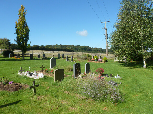
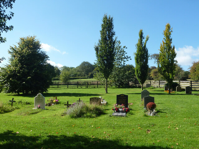
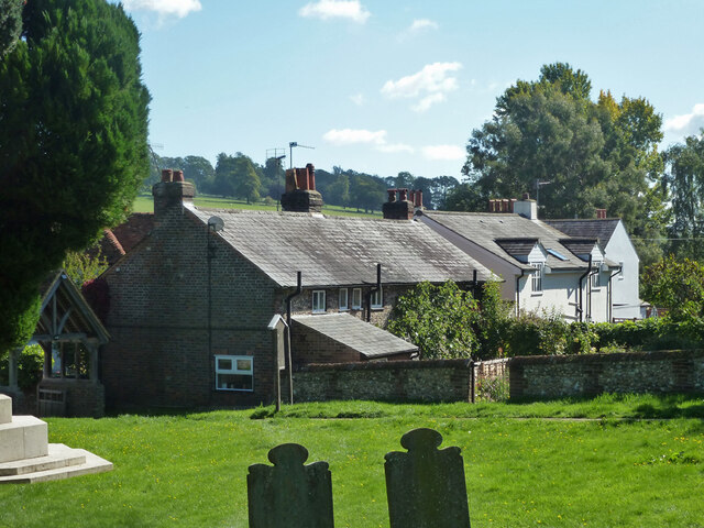
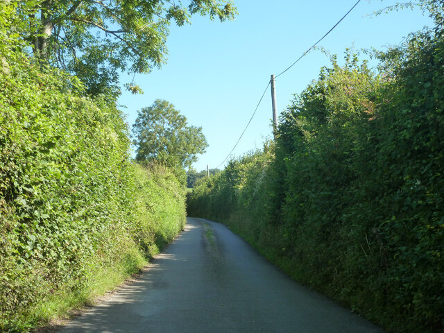
Big Wood Images
Images are sourced within 2km of 51.790488/-0.48349763 or Grid Reference TL0411. Thanks to Geograph Open Source API. All images are credited.

Big Wood is located at Grid Ref: TL0411 (Lat: 51.790488, Lng: -0.48349763)
Administrative County: Hertfordshire
District: Dacorum
Police Authority: Hertfordshire
What 3 Words
///chest.nests.crops. Near Hemel Hempstead, Hertfordshire
Nearby Locations
Related Wikis

Gaddesden Place
Gaddesden Place, near Hemel Hempstead in Hertfordshire, England, was designed by architect James Wyatt and built between 1768 and 1773, and was the home...

Golden Parsonage
The Golden Parsonage is a Grade II* listed country house in Great Gaddesden, Hertfordshire, and is part of the Gaddesden Estate. The house remains in the...

Gaddesden Hall
Gaddesden Hall is a Grade II* listed manor house in Water End, Great Gaddesden, Hertfordshire, England. It was the manor-house for the manor of Southall...

The Hoo, Great Gaddesden
The Hoo is a Grade II* listed country house in Great Gaddesden, Hertfordshire, England. It dates from around 1683. In 1944 it was in use as a maternity...

Great Gaddesden
Great Gaddesden is a village and civil parish in Dacorum Hundred in Hertfordshire, England. It is located in the Chiltern Hills, north of Hemel Hempstead...

130–136 Piccotts End
130–136 Piccotts End is a medieval timber framed building in Piccotts End in Hertfordshire, England. Originally a hall house, the structure has been divided...

Piccotts End
Piccotts End is a village in Hertfordshire, England situated on the upper River Gade. While often mistaken for a hamlet, it became a village when its church...

Amaravati Buddhist Monastery
Amaravati is a Theravada Buddhist monastery at the eastern end of the Chiltern Hills in South East England. Established in 1984 by Ajahn Sumedho as an...
Nearby Amenities
Located within 500m of 51.790488,-0.48349763Have you been to Big Wood?
Leave your review of Big Wood below (or comments, questions and feedback).