London Wood
Wood, Forest in Hertfordshire Dacorum
England
London Wood
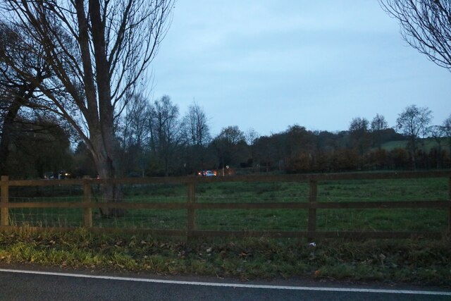
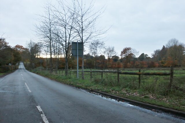
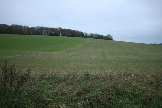
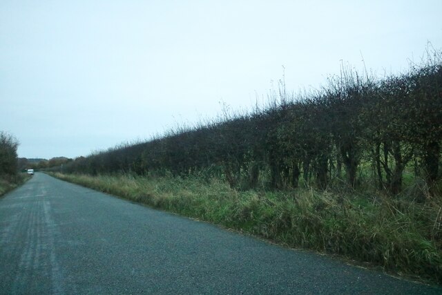
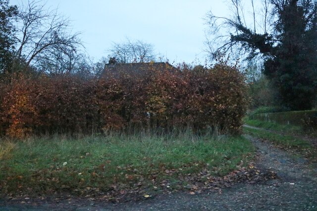
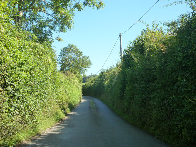
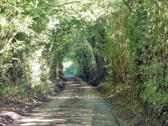
London Wood is a charming forest located in the county of Hertfordshire, England. It spans over a vast area and is a popular destination for nature enthusiasts and locals alike. The forest is situated in close proximity to the bustling city of London, hence its name.
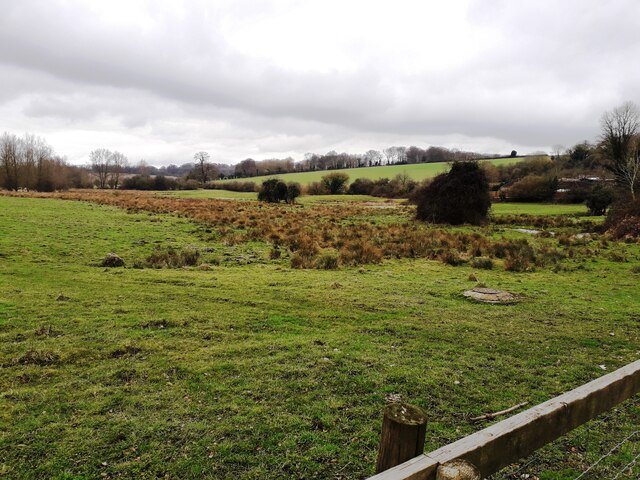
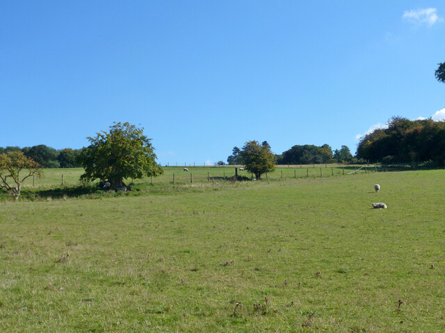
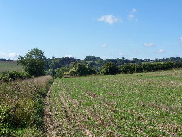
London Wood offers a diverse range of habitats, including ancient woodlands, meadows, and wetlands. The woodlands are predominantly composed of oak, beech, and birch trees, providing a picturesque backdrop for visitors. The forest floor is adorned with a rich carpet of bluebells in the spring, creating a stunning display of colors.
Wildlife thrives within the wood, making it a haven for animal lovers and birdwatchers. Visitors may be fortunate enough to spot deer, foxes, badgers, and a variety of bird species, including woodpeckers and owls. The forest's tranquil atmosphere and abundance of wildlife provide an escape from the hustle and bustle of city life.
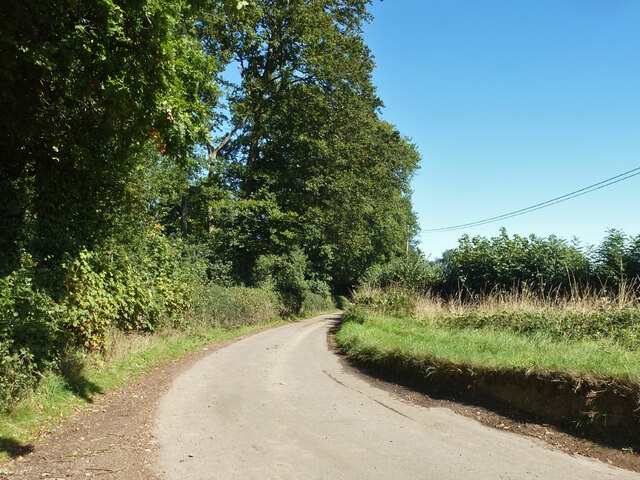
London Wood is also home to numerous walking trails and cycling paths, making it an ideal location for outdoor activities. These trails offer stunning views of the surrounding countryside and provide an opportunity to explore the forest's hidden gems. For those seeking a more leisurely experience, there are designated picnic areas where visitors can relax and enjoy the peaceful surroundings.
The forest is well-maintained and managed by local authorities, ensuring the preservation of its natural beauty. It is easily accessible by public transportation and has ample parking facilities for those arriving by car. London Wood is a true gem in Hertfordshire, offering a tranquil escape into nature just a stone's throw away from the bustling city of London.
If you have any feedback on the listing, please let us know in the comments section below.
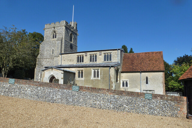
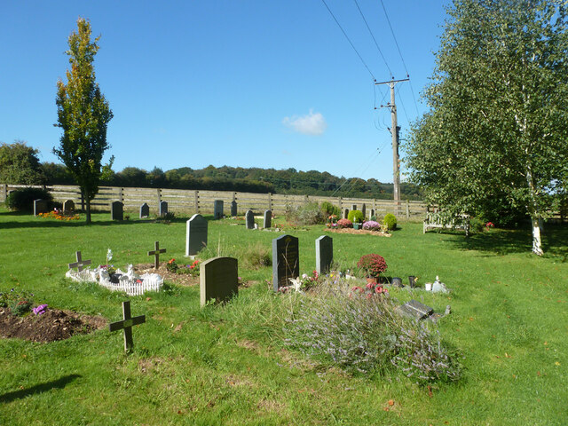
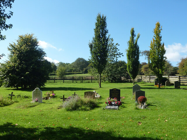
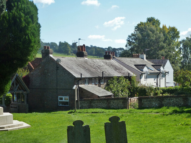
London Wood Images
Images are sourced within 2km of 51.794717/-0.48725654 or Grid Reference TL0411. Thanks to Geograph Open Source API. All images are credited.
London Wood is located at Grid Ref: TL0411 (Lat: 51.794717, Lng: -0.48725654)
Administrative County: Hertfordshire
District: Dacorum
Police Authority: Hertfordshire
What 3 Words
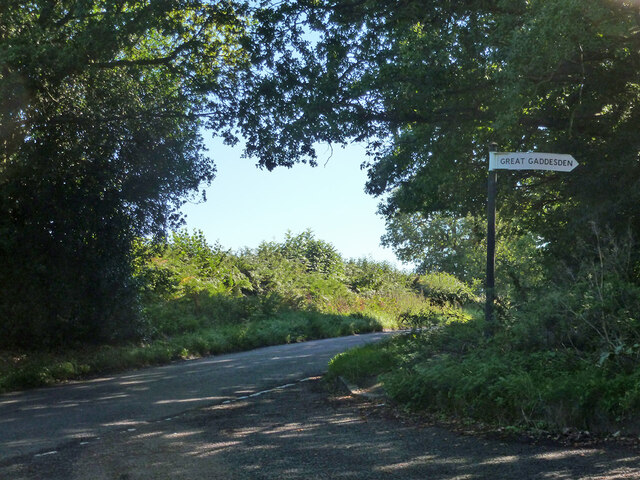
///punctuate.slimy.importers. Near Markyate, Hertfordshire
Nearby Locations
Related Wikis

Gaddesden Place
Gaddesden Place, near Hemel Hempstead in Hertfordshire, England, was designed by architect James Wyatt and built between 1768 and 1773, and was the home...

Golden Parsonage
The Golden Parsonage is a Grade II* listed country house in Great Gaddesden, Hertfordshire, and is part of the Gaddesden Estate. The house remains in the...

The Hoo, Great Gaddesden
The Hoo is a Grade II* listed country house in Great Gaddesden, Hertfordshire, England. It dates from around 1683. In 1944 it was in use as a maternity...
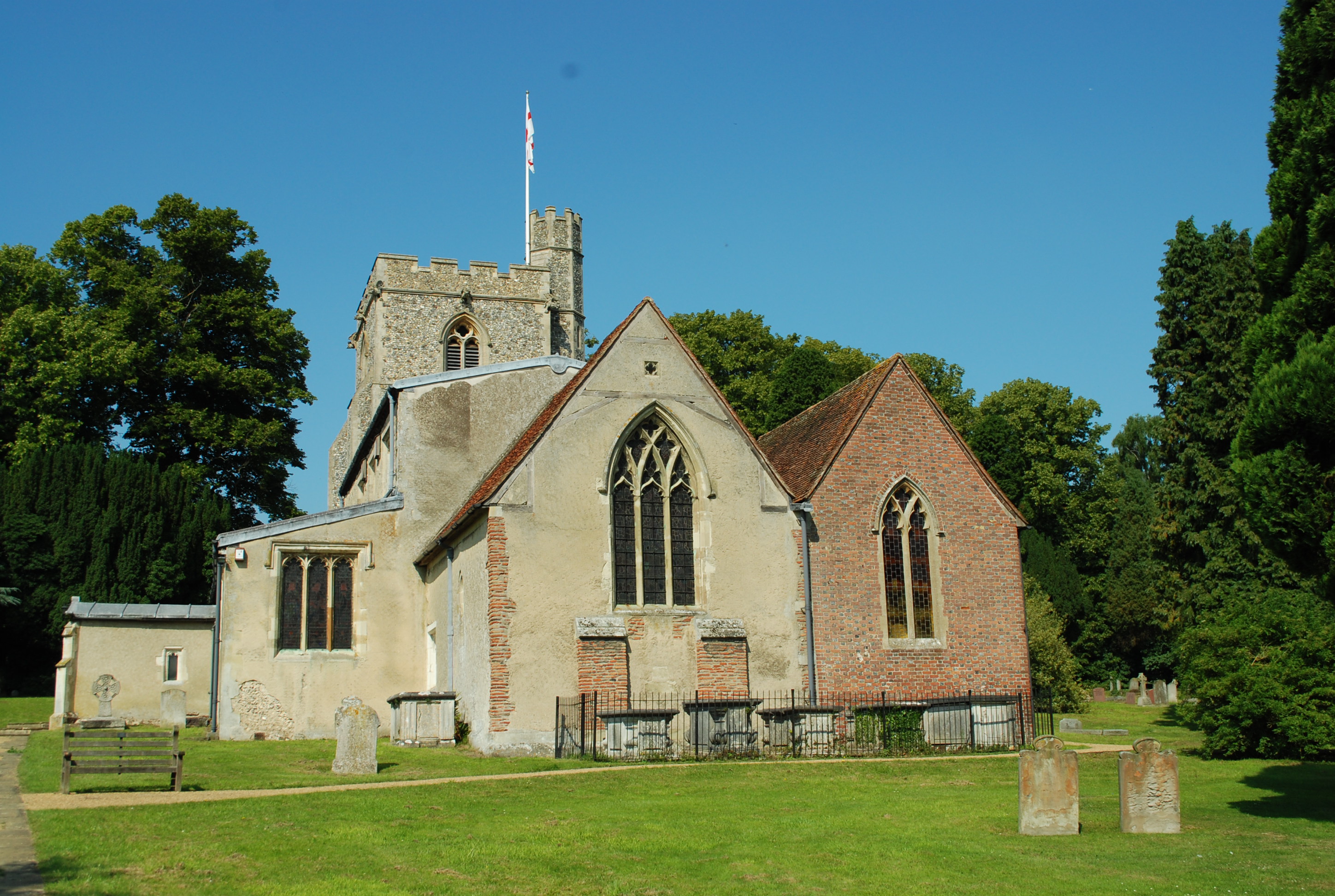
Great Gaddesden
Great Gaddesden is a village and civil parish in Dacorum Hundred in Hertfordshire, England. It is located in the Chiltern Hills, north of Hemel Hempstead...

Gaddesden Hall
Gaddesden Hall is a Grade II* listed manor house in Water End, Great Gaddesden, Hertfordshire, England. It was the manor-house for the manor of Southall...

Amaravati Buddhist Monastery
Amaravati is a Theravada Buddhist monastery at the eastern end of the Chiltern Hills in South East England. Established in 1984 by Ajahn Sumedho as an...

Ballingdon Bottom
Ballingdon Bottom is a valley in Hertfordshire, England. It forms part of the boundary between the civil parishes of Flamstead and Great Gaddesden....

Beechwood Park (mansion)
Beechwood Park was a mansion, near Markyate, Hertfordshire, England. It now houses Beechwood Park School. == History == Ralph de Tony held this site, in...
Nearby Amenities
Located within 500m of 51.794717,-0.48725654Have you been to London Wood?
Leave your review of London Wood below (or comments, questions and feedback).