Stable Wood
Wood, Forest in Hertfordshire Dacorum
England
Stable Wood
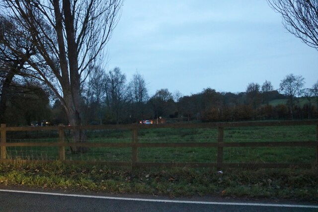
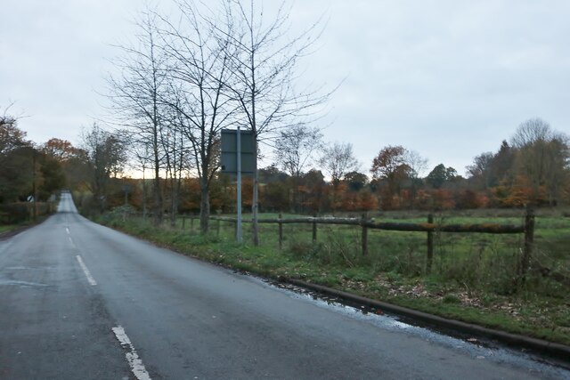
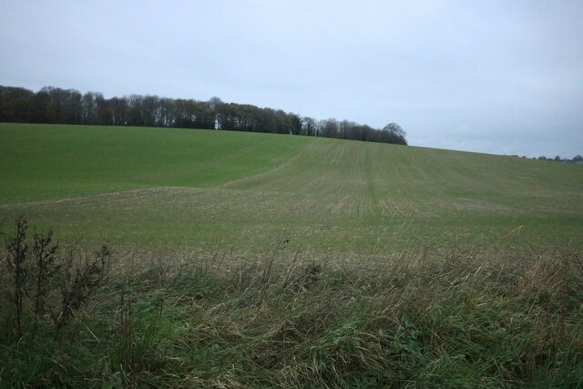
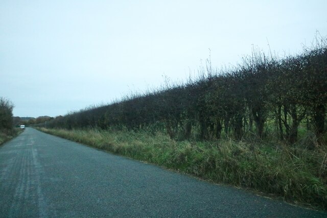
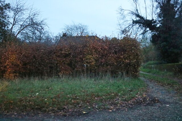
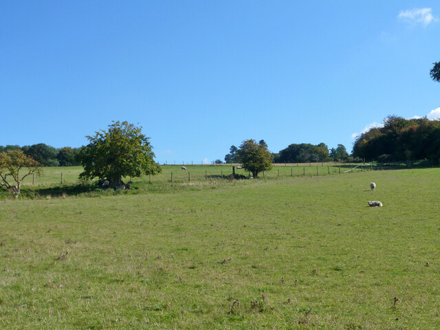
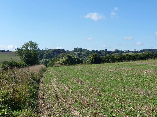
Stable Wood is a picturesque forest located in the county of Hertfordshire, England. Covering an area of approximately 100 acres, this enchanting woodland is known for its tranquility and natural beauty.
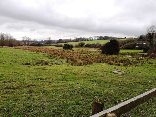
The forest is characterized by a dense canopy of tall, mature trees, predominantly consisting of oak, beech, and birch. These trees provide a habitat for a diverse range of wildlife, including squirrels, foxes, deer, and an array of bird species. The forest floor is adorned with a rich carpet of ferns, bluebells, and wildflowers, creating a vibrant and colorful landscape throughout the year.
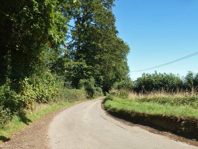
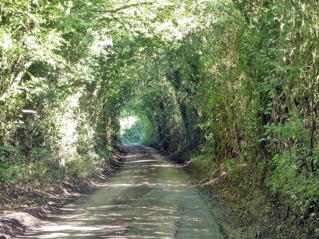
Stable Wood offers a haven for nature enthusiasts and outdoor lovers. It boasts a network of well-maintained walking trails, allowing visitors to explore the forest at their own pace. The gentle slopes and meandering paths make it accessible to all ages and fitness levels.
Within the wood, there is a small pond fed by a natural spring, which serves as a watering hole for various animal species and adds to the overall charm of the area. It is also a popular spot for birdwatching, with several species nesting and foraging around the pond.
Stable Wood is a cherished local treasure, attracting visitors from near and far. Its peaceful ambiance and untouched natural beauty make it an ideal destination for relaxation, photography, and reconnecting with nature. Whether you are seeking a peaceful stroll, a picnic spot, or an escape from the bustle of everyday life, Stable Wood offers a tranquil retreat in the heart of Hertfordshire.
If you have any feedback on the listing, please let us know in the comments section below.
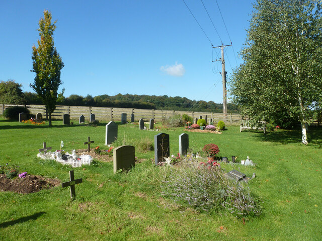
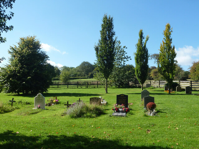
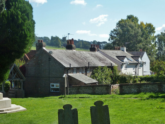
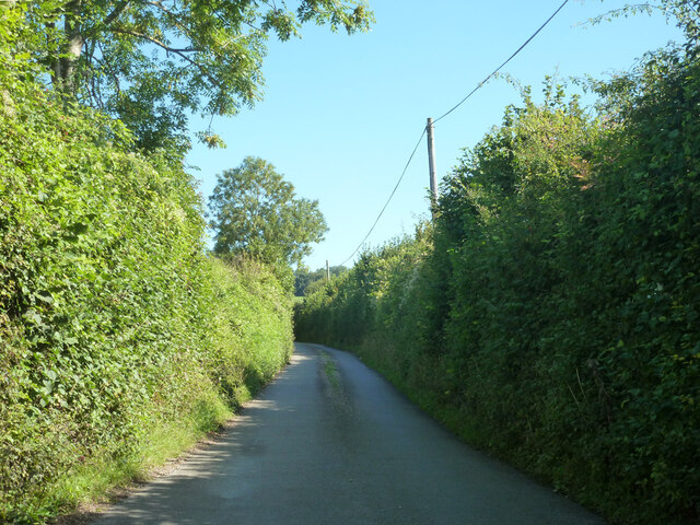
Stable Wood Images
Images are sourced within 2km of 51.790721/-0.49044969 or Grid Reference TL0411. Thanks to Geograph Open Source API. All images are credited.

Stable Wood is located at Grid Ref: TL0411 (Lat: 51.790721, Lng: -0.49044969)
Administrative County: Hertfordshire
District: Dacorum
Police Authority: Hertfordshire
What 3 Words
///thank.margin.pace. Near Hemel Hempstead, Hertfordshire
Nearby Locations
Related Wikis

Gaddesden Place
Gaddesden Place, near Hemel Hempstead in Hertfordshire, England, was designed by architect James Wyatt and built between 1768 and 1773, and was the home...
Great Gaddesden
Great Gaddesden is a village and civil parish in Dacorum Hundred in Hertfordshire, England. It is located in the Chiltern Hills, north of Hemel Hempstead...

Golden Parsonage
The Golden Parsonage is a Grade II* listed country house in Great Gaddesden, Hertfordshire, and is part of the Gaddesden Estate. The house remains in the...

The Hoo, Great Gaddesden
The Hoo is a Grade II* listed country house in Great Gaddesden, Hertfordshire, England. It dates from around 1683. In 1944 it was in use as a maternity...

Gaddesden Hall
Gaddesden Hall is a Grade II* listed manor house in Water End, Great Gaddesden, Hertfordshire, England. It was the manor-house for the manor of Southall...

Amaravati Buddhist Monastery
Amaravati is a Theravada Buddhist monastery at the eastern end of the Chiltern Hills in South East England. Established in 1984 by Ajahn Sumedho as an...

130–136 Piccotts End
130–136 Piccotts End is a medieval timber framed building in Piccotts End in Hertfordshire, England. Originally a hall house, the structure has been divided...

Piccotts End
Piccotts End is a village in Hertfordshire, England situated on the upper River Gade. While often mistaken for a hamlet, it became a village when its church...
Related Videos


Unboxing a vintage 1880 Bustle walking outfit.
Excited for the arrival of the 1880 original Bustle outfit by me at home!

Amaravati Buddhist Monastery#hemelhempstead#Buddhisttemple#@JenuandKeimin 🛤️
Amaravati is a Theravada Buddhist monastery situated at the eastern end of the Chiltern Hills in south-east England. It is near the ...
Nearby Amenities
Located within 500m of 51.790721,-0.49044969Have you been to Stable Wood?
Leave your review of Stable Wood below (or comments, questions and feedback).