Glynde
Civil Parish in Sussex Lewes
England
Glynde
Glynde is a small civil parish located in the county of Sussex, England. It is situated approximately five miles northeast of the town of Lewes and around 57 miles south of London. The parish covers an area of about 2.6 square miles.
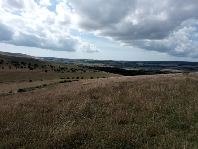
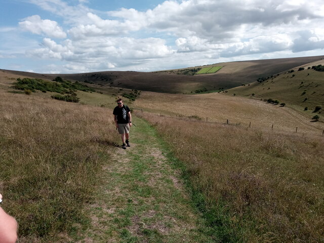
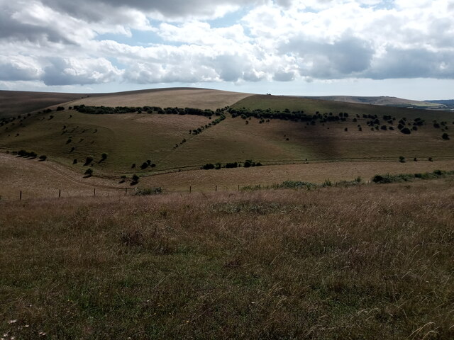
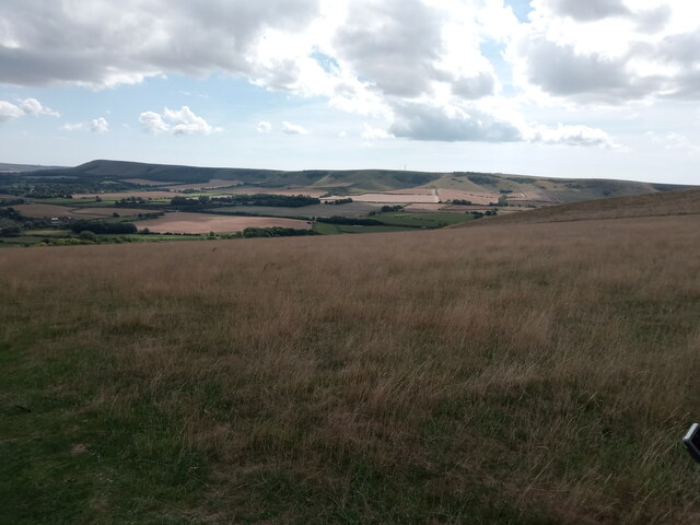
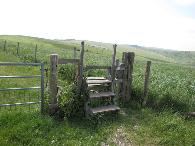
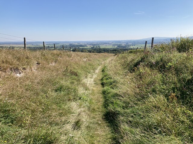
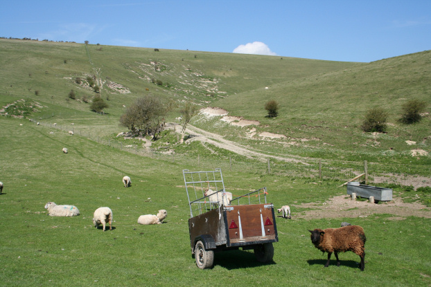
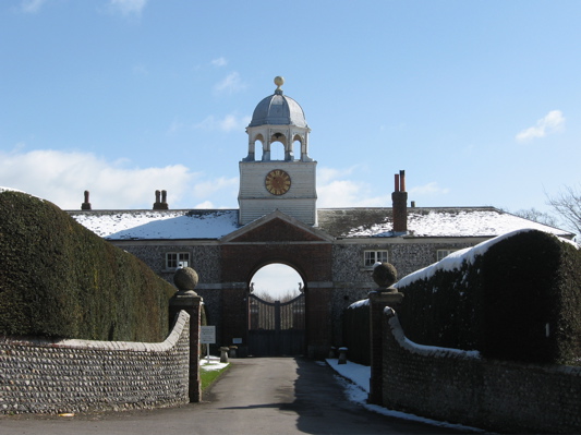
Glynde is a picturesque village surrounded by beautiful rolling hills and farmland. It is known for its charming and well-preserved historic buildings, including the 18th-century Glynde Place, a Grade I listed country house. The house is set within stunning gardens and parkland, making it a popular tourist attraction.
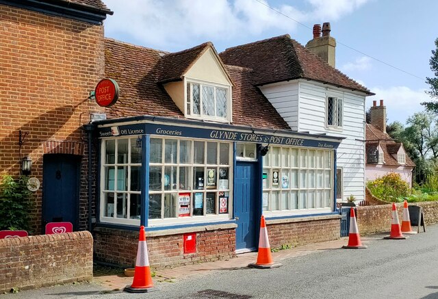
The village itself has a population of around 500 people and is typically characterized by traditional Sussex architecture, with many buildings constructed from the local flint stone. There are a few local amenities in Glynde, including a village hall, a primary school, and a church. The St. Mary's Church in Glynde dates back to the 12th century and is renowned for its architectural beauty.
Glynde is also home to the annual Glyndebourne Festival, a world-famous opera festival that takes place at Glyndebourne House, just outside the village. The festival attracts visitors from around the globe and has become a significant cultural event in the region.
Due to its idyllic countryside setting and proximity to Lewes and London, Glynde is a popular place to reside for those seeking a peaceful rural lifestyle with easy access to urban amenities. The village offers a close-knit community with a strong sense of local pride and heritage.
If you have any feedback on the listing, please let us know in the comments section below.
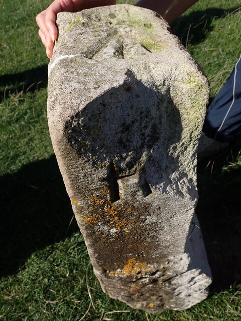
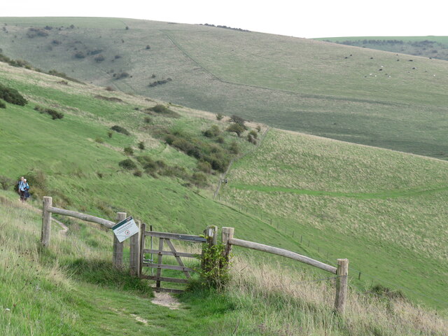
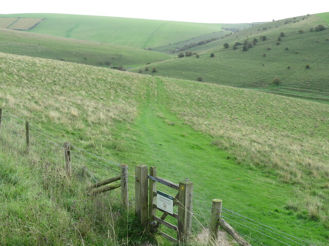
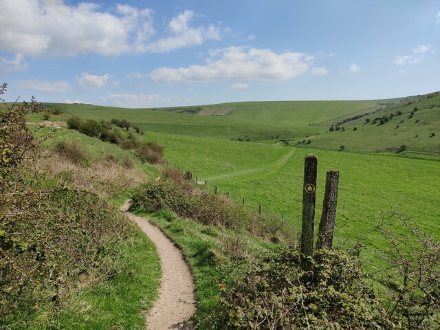
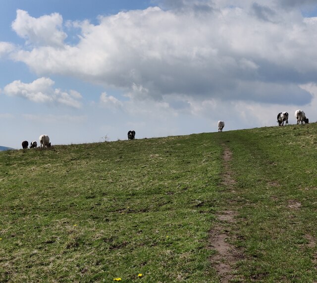
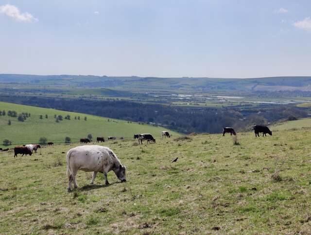
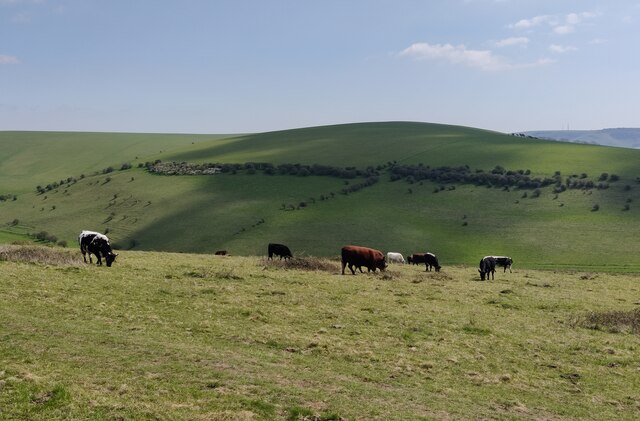
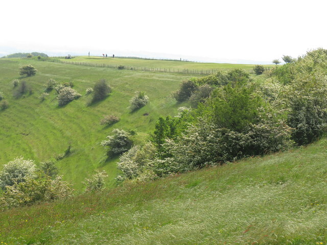
Glynde Images
Images are sourced within 2km of 50.8663/0.056246 or Grid Reference TQ4409. Thanks to Geograph Open Source API. All images are credited.


Glynde is located at Grid Ref: TQ4409 (Lat: 50.8663, Lng: 0.056246)
Administrative County: East Sussex
District: Lewes
Police Authority: Sussex
What 3 Words
///scored.nets.headache. Near Ringmer, East Sussex
Nearby Locations
Related Wikis

Mount Caburn
Mount Caburn is a 150-metre (492 ft) prominent landmark in East Sussex, England, about one mile (1.6 km) east of Lewes overlooking the village of Glynde...

Glynde Place
Glynde Place is an Elizabethan Manor House at Glynde in East Sussex, England. Situated in the South Downs National Park, it is the family home of the Viscounts...

St Mary's Church, Glynde
The Church of St Mary the Virgin is a Grade II* listed Anglican church in the village of Glynde in East Sussex. It was built in the 1760s by Richard Trevor...
Southerham Farm
Southerham Farm is a 131-hectare (320-acre) nature reserve on the eastern outskirts of Lewes in East Sussex. It is managed by the Sussex Wildlife Trust...
Glynde
Glynde is a village and shares a civil parish with Beddingham in the Lewes District of East Sussex, United Kingdom. It is located two miles (5 km) east...

Lewes Downs
Lewes Downs is a 165-hectare (410-acre) biological Site of Special Scientific Interest east of Lewes in East Sussex. It is a Nature Conservation Review...

Glynde and Beddingham
Glynde and Beddingham Parish Council is a combined council of two civil parishes in the Lewes district of East Sussex. == Glynde == == Beddingham... ==
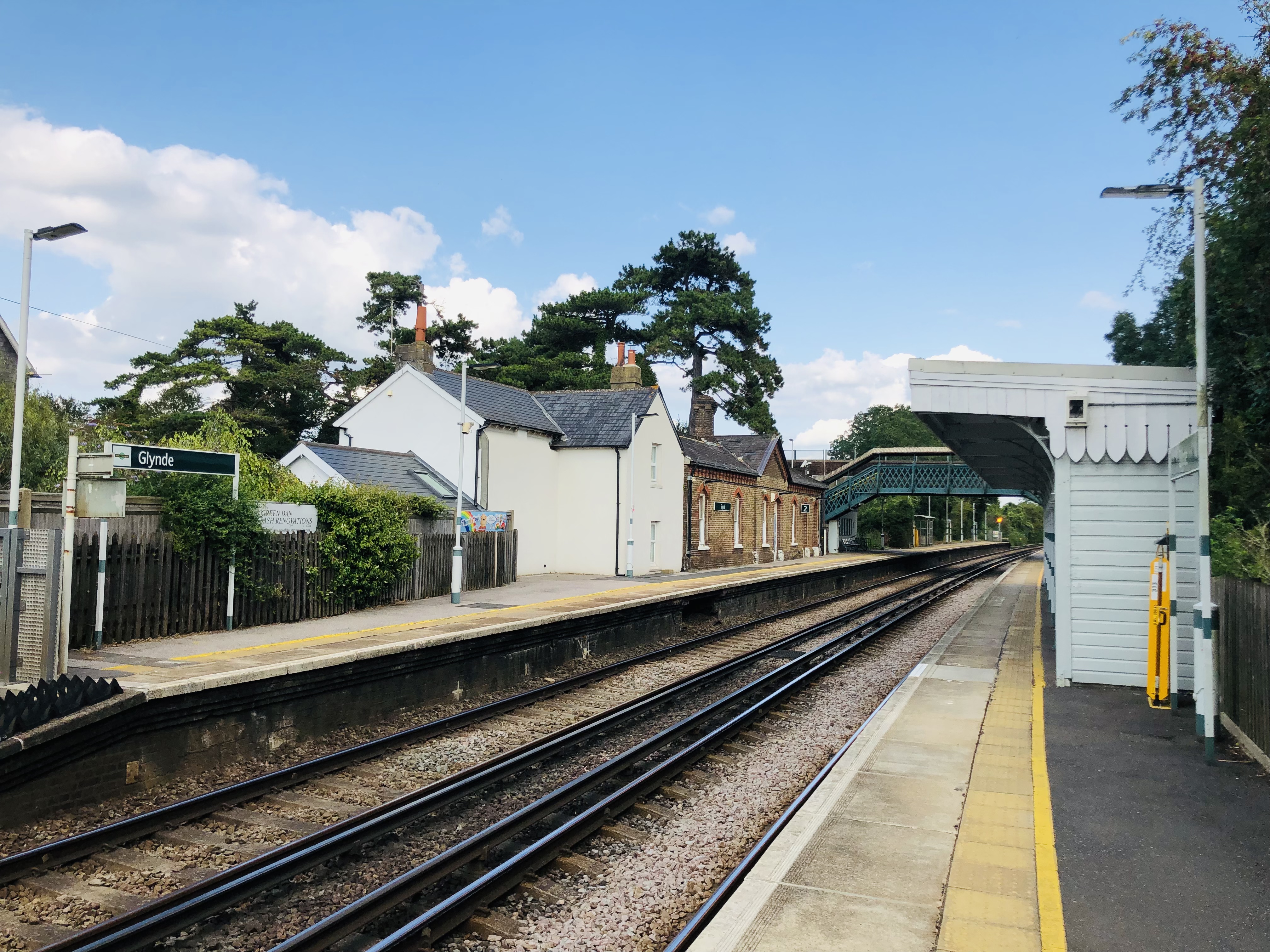
Glynde railway station
Glynde railway station serves Glynde in East Sussex. It is 53 miles 11 chains (85.5 km) from London Bridge, on the East Coastway Line and train services...
Nearby Amenities
Located within 500m of 50.8663,0.056246Have you been to Glynde?
Leave your review of Glynde below (or comments, questions and feedback).