Gnosall
Civil Parish in Staffordshire Stafford
England
Gnosall
Gnosall is a civil parish located in the Staffordshire county of England. It sits on the eastern edge of the county, approximately 8 miles north-west of Stafford, the county town. Gnosall is a rural village with a population of around 4,500 people, according to the latest census.
The village is known for its historical significance, with evidence of settlements dating back to the Roman times. It is home to several ancient landmarks, including the Church of St. Lawrence, a Grade I listed building that dates back to the 12th century. This church is renowned for its medieval wall paintings, stained glass windows, and architectural features.
Gnosall has a strong community spirit, with various local amenities and activities for residents. It has a primary school, a library, a community center, and a number of local shops, pubs, and restaurants. The village also hosts a range of annual events and festivals, including the Gnosall Carnival and the Gnosall Beer Festival, which attract visitors from the surrounding areas.
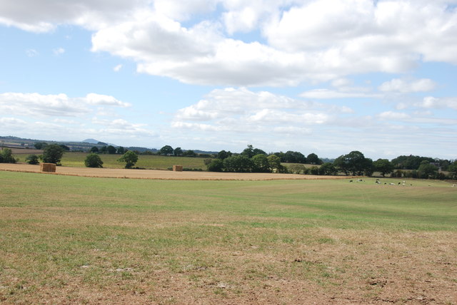
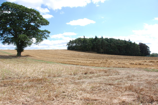
The village is surrounded by picturesque countryside, offering opportunities for outdoor recreation and leisure activities. There are several walking and cycling routes that allow visitors to explore the beautiful Staffordshire countryside, including the nearby Shropshire Union Canal and the Staffordshire Way.
Overall, Gnosall is a charming rural village with a rich history and a welcoming community, making it a desirable place to live or visit for those seeking a peaceful and picturesque location.
If you have any feedback on the listing, please let us know in the comments section below.
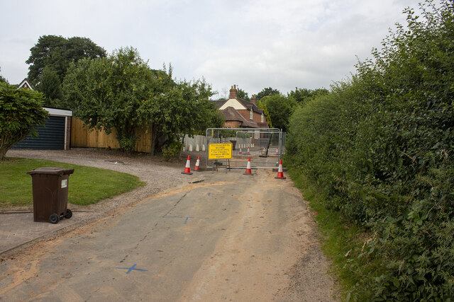
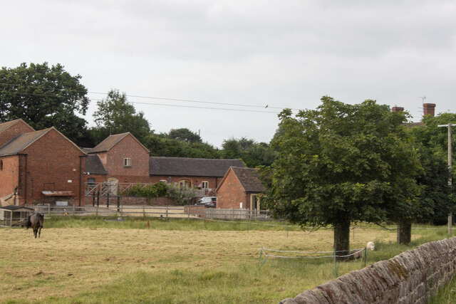
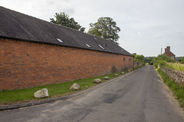
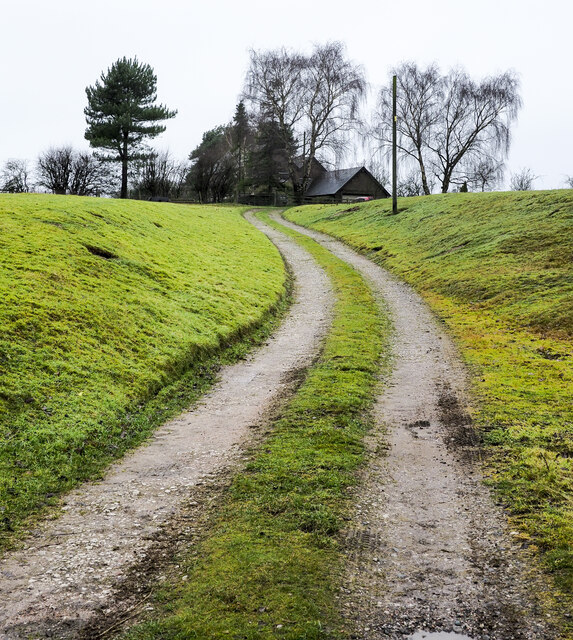
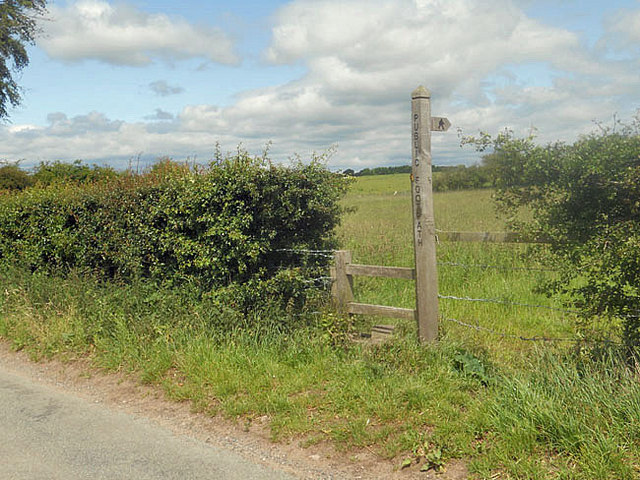
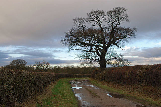
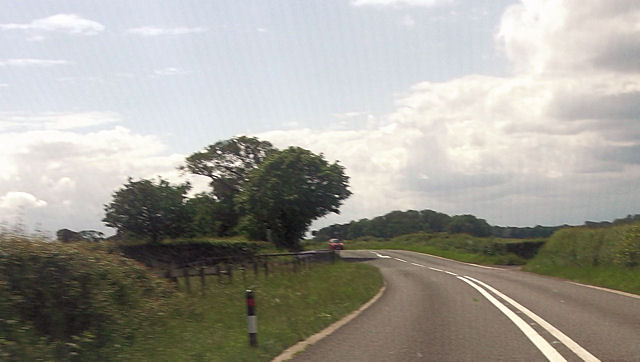
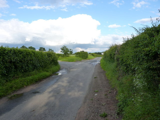
Gnosall Images
Images are sourced within 2km of 52.763002/-2.304942 or Grid Reference SJ7918. Thanks to Geograph Open Source API. All images are credited.


Gnosall is located at Grid Ref: SJ7918 (Lat: 52.763002, Lng: -2.304942)
Administrative County: Staffordshire
District: Stafford
Police Authority: Staffordshire
What 3 Words
///deodorant.backward.arrived. Near Woodcote, Shropshire
Nearby Locations
Related Wikis

Beffcote
Beffcote is a village in Staffordshire, England. For the population taken at the United Kingdom Census 2011 see Gnosall.
Outwoods, Stafford
Outwoods is a hamlet in the English county of Staffordshire. Outwoods is located in the extreme west of the county near to the town of Newport, Shropshire...
Moreton, Staffordshire
Moreton is a small rural village in the borough of Stafford in Staffordshire, England, near the border with Shropshire. It lies 3.5 miles (5.6 km) south...
Back Brook, English Midlands
The Back Brook is a minor watercourse in the English counties of Shropshire and Staffordshire, in places forming the boundary between the two, and located...
Coton, Staffordshire
Coton is a hamlet in the English county of Staffordshire.It lies on the A518 road some two miles west of Gnosall. == See also == Listed buildings in Gnosall...

Aqualate Hall
Aqualate Hall, a 20th-century country house, is located in Forton, Staffordshire, England, some 2 miles (3.2 km) east of the market town of Newport, Shropshire...

Aqualate Mere
Aqualate Mere, in Staffordshire, is the largest natural lake in the English Midlands and is managed as a national nature reserve (NNR) by Natural England...
Orslow
Orslow is an upland hamlet in Staffordshire, England, 0.75 miles (1.21 km) north-east of Great Chatwell. Its Anglo-Saxon name means 'Horsa's burial mound...
Nearby Amenities
Located within 500m of 52.763002,-2.304942Have you been to Gnosall?
Leave your review of Gnosall below (or comments, questions and feedback).