Windmill Bank

Hill, Mountain in Staffordshire Stafford

England

Windmill Bank

Sign and stile to a public footpath
Sign and stile to a public footpath Credit: Row17

Windmill Bank is a prominent hill located in the county of Staffordshire, England. Situated in the picturesque countryside, it offers stunning panoramic views of the surrounding landscapes. This hill is a popular destination for locals and tourists alike, attracting nature enthusiasts, hikers, and photographers.

At an elevation of approximately 250 meters (820 feet), Windmill Bank stands tall and provides a challenging terrain for those seeking outdoor adventures. The hill is characterized by its steep slopes, which make it an ideal spot for hill-walking and hiking activities. The paths leading up the hill are well-maintained, ensuring a safe and enjoyable experience for visitors.

As its name suggests, Windmill Bank is home to an old windmill which adds to its charm and historical significance. This windmill, known as Windmill Bank Mill, dates back to the 18th century and has been carefully preserved over the years. It serves as a reminder of the region's agricultural past and offers visitors a glimpse into the traditional milling process.

Aside from its natural beauty and historical features, Windmill Bank also boasts a diverse range of flora and fauna. The hill is covered in lush greenery, with a variety of plant species thriving in its fertile soils. It is not uncommon to spot wildflowers, shrubs, and small woodland creatures while exploring the area.

Overall, Windmill Bank is a gem in Staffordshire's landscape, offering a unique blend of natural beauty, historical significance, and recreational opportunities. Whether one seeks a challenging hike, a peaceful walk, or simply a place to admire the stunning vistas, Windmill Bank is an ideal destination for all.

If you have any feedback on the listing, please let us know in the comments section below.

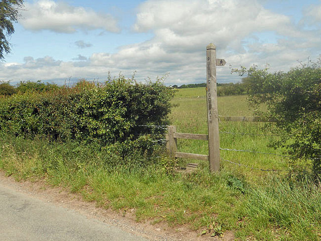
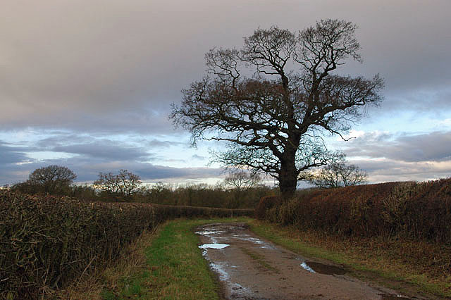
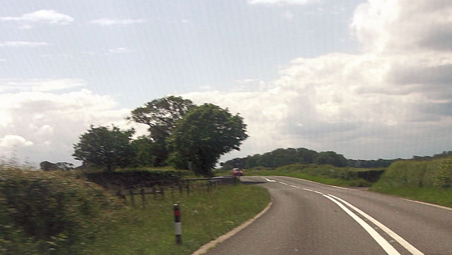
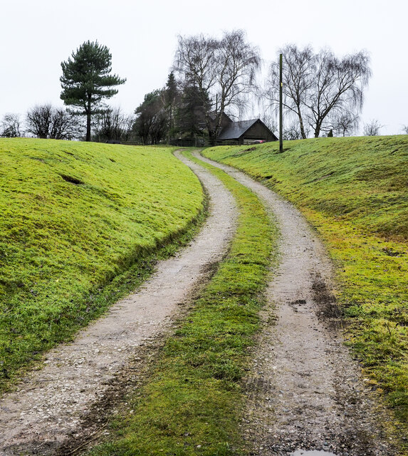
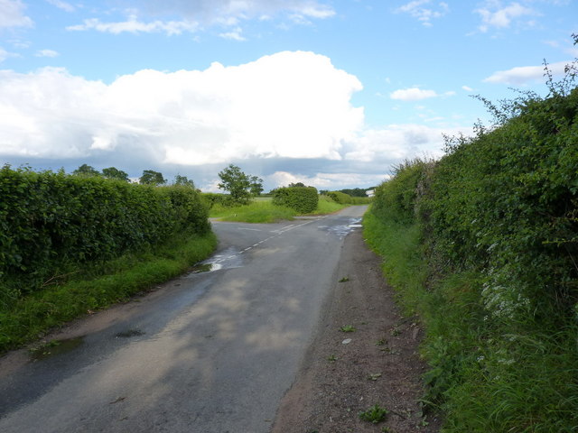
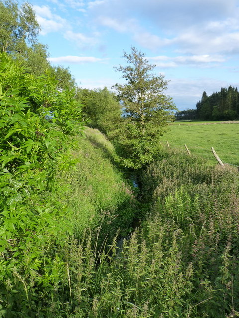
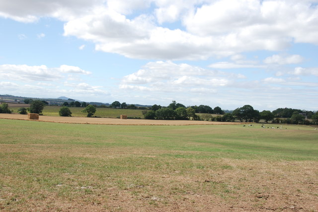
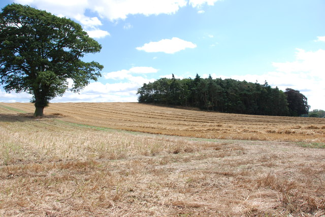
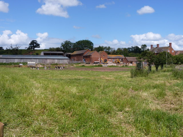
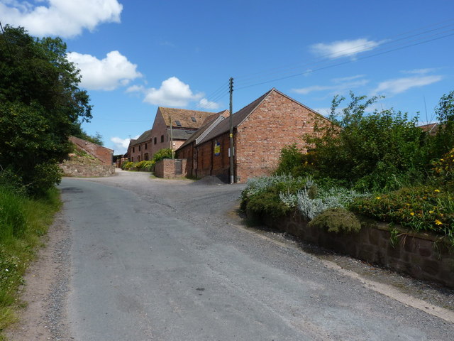
Windmill Bank Images

Images are sourced within 2km of 52.764459/-2.3103304 or Grid Reference SJ7918. Thanks to Geograph Open Source API. All images are credited.

Sign and stile to a public footpath
Bridleway to Pollymoor Farm
Pollymoor Farm junction from A518
Swanpit Pool A small fishery run by Weston Under Lizard Angling Club, and stocked with a mixture of coarse fish. The ripples in the water at my feet are caused by the landing of a common carp, about 3lbs in weight, by an angler to whom I chatted briefly.
Swanpit Pool
A small fishery run by Weston Under Lizard Angling Club, and stocked with a mixture of coarse fish. The ripples in the water at my feet are caused by the landing of a common carp, about 3lbs in weight, by an angler to whom I chatted briefly.
The bridleway to Shelmore Here used as a farm track; further on, past the disused Pollymoor Farm, it's more vague on the ground.
The bridleway to Shelmore
Here used as a farm track; further on, past the disused Pollymoor Farm, it's more vague on the ground.
Access road for Hilltop House Hilltop House is at the top of the drive, partly concealed by trees; it's not quite at the top of the hill - there's higher ground just beyond at the summit which has a trig point.
The road is also the route of a public footpath which bypasses the house on its left side.
Access road for Hilltop House
Hilltop House is at the top of the drive, partly concealed by trees; it's not quite at the top of the hill - there's higher ground just beyond at the summit which has a trig point. The road is also the route of a public footpath which bypasses the house on its left side.
Staffordshire Greenway Old abandoned railway, now a cycleway
Staffordshire Greenway
Old abandoned railway, now a cycleway
Lane junction near Moreton
The Moreton Brook Well overgrown after several weeks with very little rain; compare this with its normal may-time condition in <a href="https://www.geograph.org.uk/photo/421802">SJ7816 : Back Brook</a>
The Moreton Brook
Well overgrown after several weeks with very little rain; compare this with its normal may-time condition in SJ7816 : Back Brook
Tracks on a field of barley
Bridge carrying the 'Way of the Millennium'
Road Junction, Gnosall Road The road on the left leading off Gnosall road goes to Bromstead Common and Bromstead Heath.
Road Junction, Gnosall Road
The road on the left leading off Gnosall road goes to Bromstead Common and Bromstead Heath.
Manor Farm, near Gnosall This farm is on a junction of three roads, to Newport, Gnosall and Moreton.
Manor Farm, near Gnosall
This farm is on a junction of three roads, to Newport, Gnosall and Moreton.
Looking over farmland to the Wrekin
Harvest  is Home These fields near Moreton have been cleared of their crops, once the straw has been cleared, cultivations for next years crop can begin.
Harvest is Home
These fields near Moreton have been cleared of their crops, once the straw has been cleared, cultivations for next years crop can begin.
Cross roads at David's pit Covert From A518 west
Cross roads at David's pit Covert
From A518 west
Moreton Hall Farm A working farm, with young Friesians in this roadside field and loose chickens in the yard (much to Daft Dog's annoyance, he wasn't allowed close enough to investigate those); there is also a B&B business at the farmhouse.
Moreton Hall Farm
A working farm, with young Friesians in this roadside field and loose chickens in the yard (much to Daft Dog's annoyance, he wasn't allowed close enough to investigate those); there is also a B&B business at the farmhouse.
Barns at Moreton Park House Farm
Show me another place!

Windmill Bank is located at Grid Ref: SJ7918 (Lat: 52.764459, Lng: -2.3103304)

Administrative County: Staffordshire

District: Stafford

Police Authority: Staffordshire

What 3 Words

///hungry.observe.overheat. Near Woodcote, Shropshire

Nearby Locations

Gnosall Windmill Bank

Related Wikis

Outwoods, Stafford

Outwoods is a hamlet in the English county of Staffordshire. Outwoods is located in the extreme west of the county near to the town of Newport, Shropshire...

Beffcote

Beffcote is a village in Staffordshire, England. For the population taken at the United Kingdom Census 2011 see Gnosall.

Moreton, Staffordshire

Moreton is a small rural village in the borough of Stafford in Staffordshire, England, near the border with Shropshire. It is 3.5 miles (5.6 km) south...

Back Brook, English Midlands

The Back Brook is a minor watercourse in the English counties of Shropshire and Staffordshire, in places forming the boundary between the two, and located...

Nearby Amenities

Located within 500m of 52.764459,-2.3103304
Barrier: stile
Foot: designated
Lat/Long: 52.7638813/-2.3030461
Barrier: stile
Foot: designated
Lat/Long: 52.7654069/-2.307225
The data included in this document is from www.openstreetmap.org. The data is made available under ODbL.

Have you been to Windmill Bank?

Leave your review of Windmill Bank below (or comments, questions and feedback).