Glympton
Civil Parish in Oxfordshire West Oxfordshire
England
Glympton

Glympton is a small civil parish located in Oxfordshire, England. Situated approximately 10 miles northwest of Oxford, the village is nestled in the picturesque Glyme Valley. The parish covers an area of about 1.5 square miles and is home to a population of around 100 people.
The village of Glympton has a rich history, with evidence of human habitation dating back to the Neolithic period. The area was later inhabited by the Romans, as suggested by the discovery of Roman coins and pottery fragments. Today, the village retains its historic charm, with several picturesque thatched cottages and stone houses lining its streets.
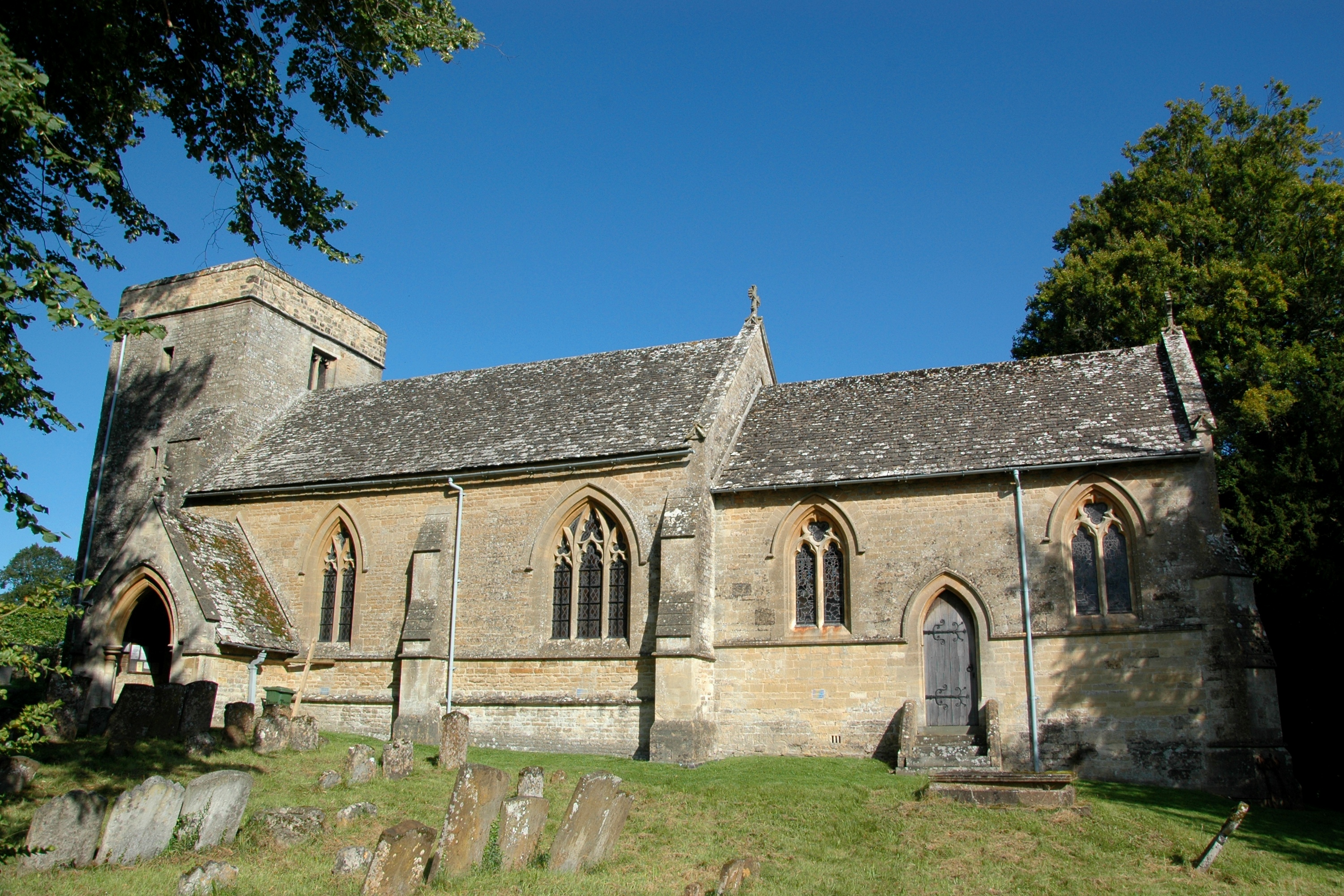
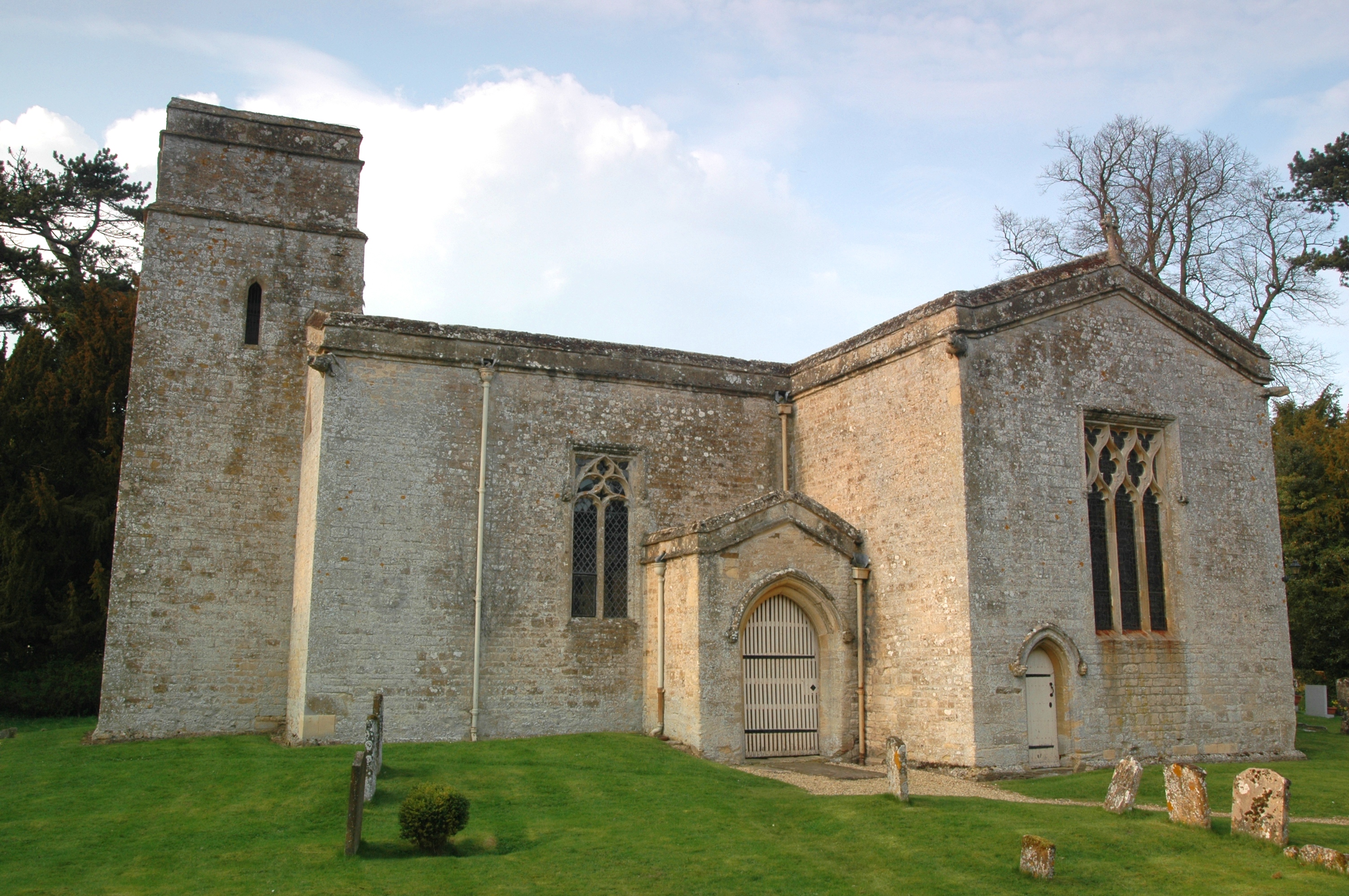
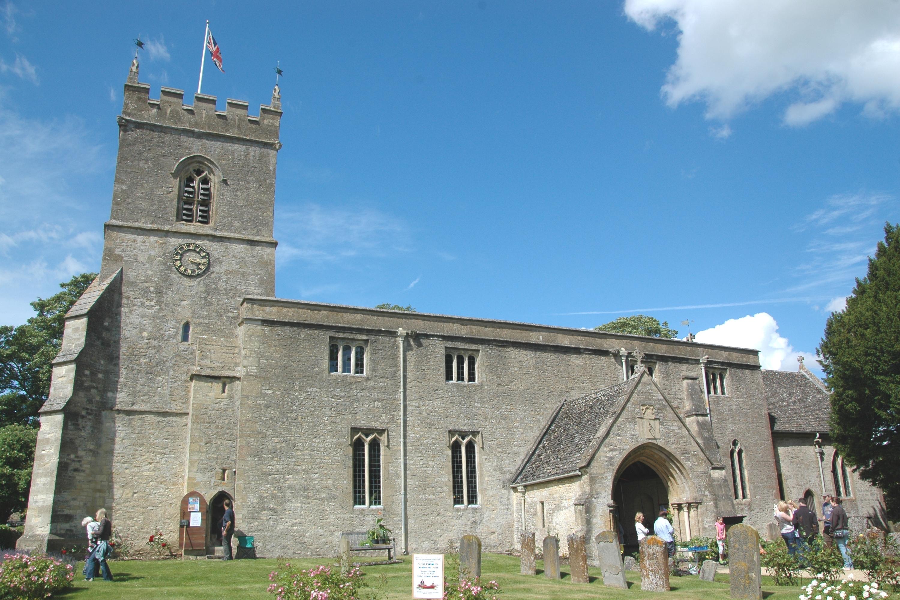
The centerpiece of Glympton is the St. Mary's Church, a Grade II listed building that dates back to the 12th century. The church features a medieval tower and stained glass windows, providing a glimpse into the village's past. The surrounding countryside offers ample opportunities for outdoor activities, with beautiful walking trails and cycling routes.
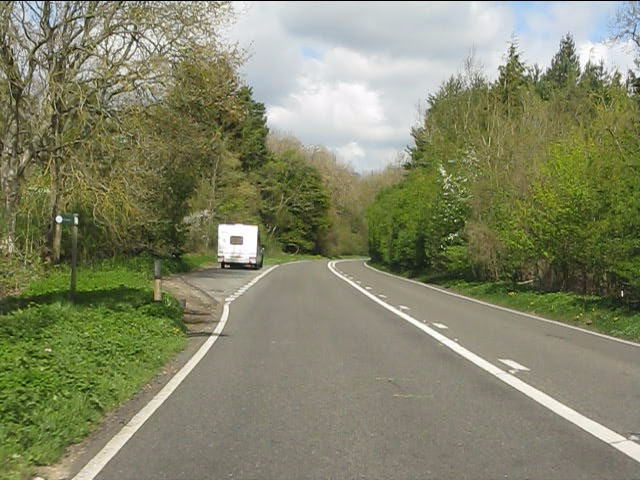
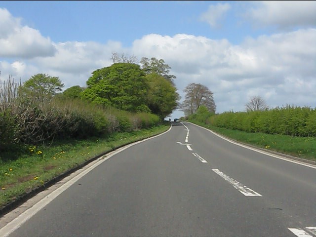
Despite its small size, Glympton is well-connected to nearby towns and cities. The A44 road runs close to the village, providing easy access to Oxford and other parts of Oxfordshire. The village also benefits from a strong community spirit, with various events and activities organized throughout the year, including a summer fete and a carol service during the festive season.
Overall, Glympton is a charming and tranquil village, offering residents and visitors a glimpse into the rich history and natural beauty of Oxfordshire.
If you have any feedback on the listing, please let us know in the comments section below.
Glympton Images
Images are sourced within 2km of 51.89044/-1.385015 or Grid Reference SP4221. Thanks to Geograph Open Source API. All images are credited.


Glympton is located at Grid Ref: SP4221 (Lat: 51.89044, Lng: -1.385015)
Administrative County: Oxfordshire
District: West Oxfordshire
Police Authority: Thames Valley
What 3 Words
///housework.duties.yell. Near Woodstock, Oxfordshire
Nearby Locations
Related Wikis

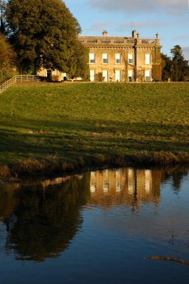
Glympton Park
Glympton Park is a former deer park at Glympton, 3.5 miles (5.6 km) north of Woodstock, Oxfordshire, England. It includes Glympton House (an 18th-century...
Glympton
Glympton is a village and civil parish on the River Glyme about 3 miles (5 km) north of Woodstock, Oxfordshire. The 2001 Census recorded the parish's population...

Over Kiddington
Over Kiddington is a hamlet in the civil parish of Kiddington with Asterleigh in Oxfordshire, England, about 7 miles (11 km) southeast of Chipping Norton...
Kiddington
Kiddington is a village in the civil parish of Kiddington with Asterleigh, in the West Oxfordshire district, in the county of Oxfordshire, England. The...
Kiddington Hall
Kiddington Hall is a large Grade II listed manor house located in Kiddington, near Woodstock, Oxfordshire, England. == History == Kiddington Hall was built...

Sheep's Banks
Sheep's Banks is a 5.1-hectare (13-acre) biological Site of Special Scientific Interest north of Wootton in Oxfordshire.This steeply sloping site is species...

Out Wood
Out Wood is a 19.2-hectare (47-acre) biological Site of Special Scientific Interest east of Charlbury in Oxfordshire.This semi-natural wood is a surviving...
Wootton, West Oxfordshire
Wootton is a village and civil parish on the River Glyme about 2 miles (3 km) north of Woodstock, Oxfordshire. In recent years the village is sometimes...
Nearby Amenities
Located within 500m of 51.89044,-1.385015Have you been to Glympton?
Leave your review of Glympton below (or comments, questions and feedback).