Aldingham
Settlement in Lancashire South Lakeland
England
Aldingham
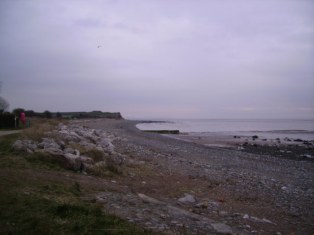
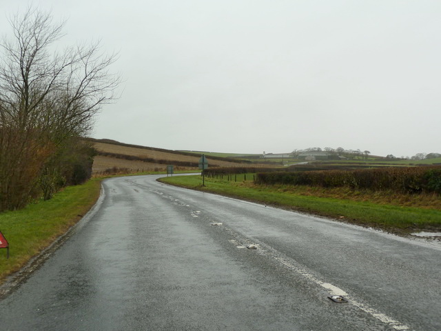
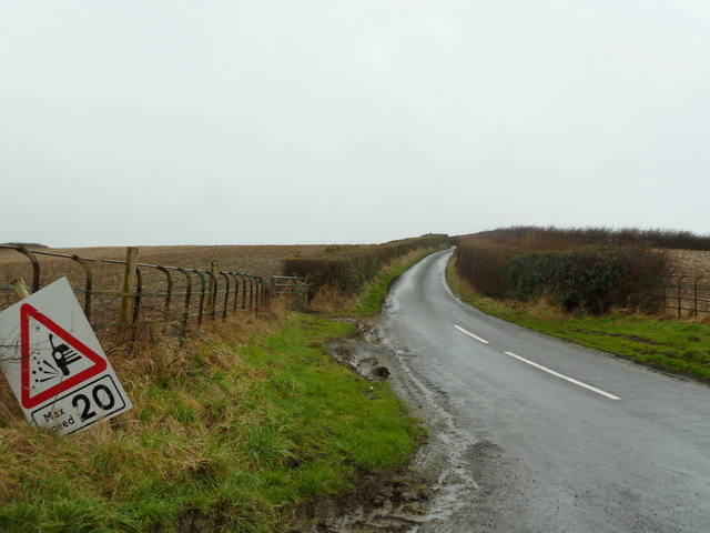
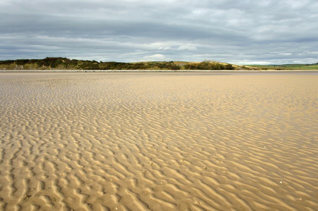
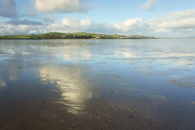
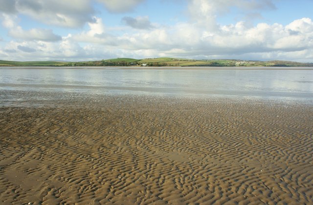
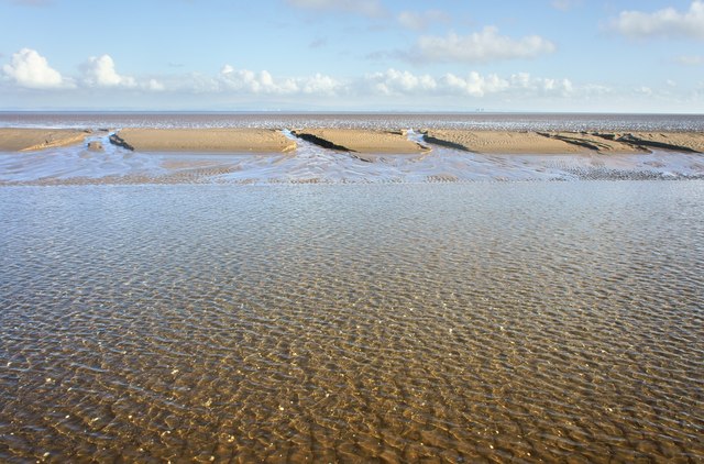
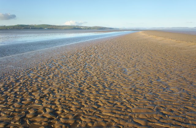
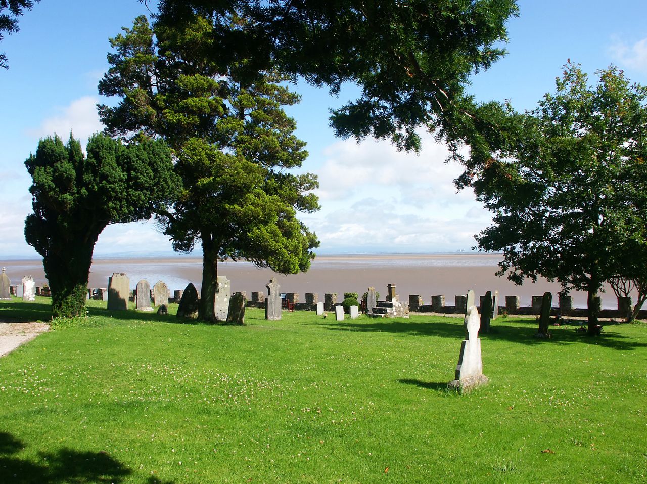
Aldingham is a small village located in the county of Lancashire, England. Situated on the southern shores of Morecambe Bay, it is part of the South Lakeland district. The village is surrounded by picturesque countryside, offering stunning views of the bay and the nearby Lake District National Park.
Historically, Aldingham was an important settlement dating back to Roman times. It was mentioned in the Domesday Book of 1086 and played a significant role in the medieval wool trade. The village features several well-preserved historic buildings, including St. Cuthbert's Church, which dates back to the 12th century and boasts a Norman tower.
Despite its small size, Aldingham offers a range of amenities for residents and visitors. The village has a primary school, a post office, and a community hall that hosts various events and gatherings throughout the year. There are also a handful of local businesses, including a pub and a farm shop, providing essential services and a sense of community.
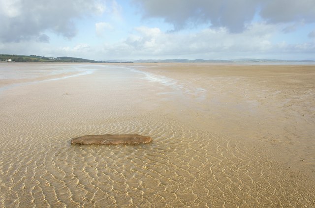
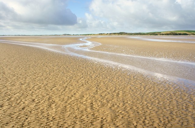
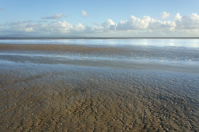
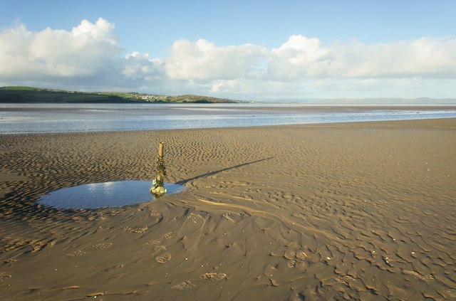
The natural surroundings of Aldingham make it an ideal destination for outdoor enthusiasts. The nearby coast offers opportunities for walking, birdwatching, and exploring the diverse marine life of Morecambe Bay. Additionally, the village is close to the Lake District National Park, where visitors can enjoy hiking, boating, and taking in the breathtaking mountain scenery.
Overall, Aldingham is a charming village with a rich history and stunning natural beauty, making it an attractive place for locals and tourists alike.
If you have any feedback on the listing, please let us know in the comments section below.
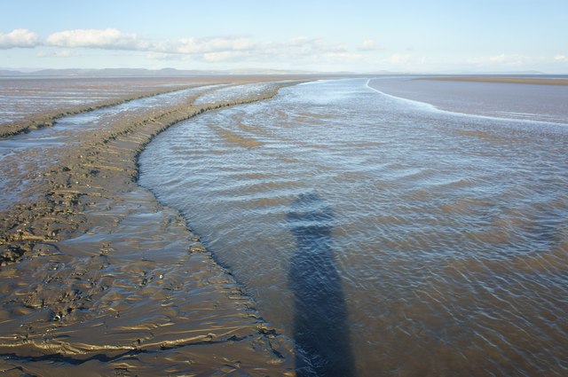
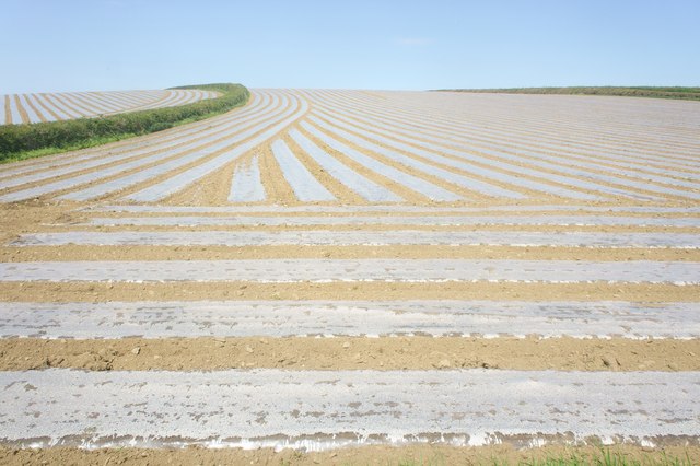
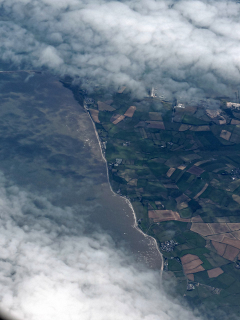
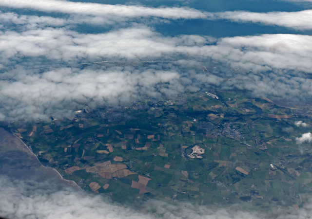
Aldingham Images
Images are sourced within 2km of 54.130304/-3.09866 or Grid Reference SD2871. Thanks to Geograph Open Source API. All images are credited.
Aldingham is located at Grid Ref: SD2871 (Lat: 54.130304, Lng: -3.09866)
Administrative County: Cumbria
District: South Lakeland
Police Authority: Cumbria
What 3 Words
///entitle.offerings.encoded. Near Dalton in Furness, Cumbria
Nearby Locations
Related Wikis
Aldingham
Aldingham is a village and civil parish in the South Lakeland district of Cumbria, England. Historically in Lancashire, it is situated on the east coast...

Baycliff
Baycliff is a seaside village in the South Lakeland District of Cumbria in England. Historically in Lancashire, it lies 3 miles (4.8 km) south of Ulverston...

Scales, Aldingham
Scales is a small village in Westmorland and Furness, Cumbria, England. The town of Ulverston is around 3.5 miles south of the village. The name Scales...

Gleaston Castle
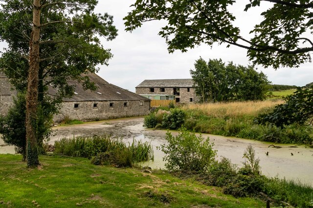
Gleaston Castle is a medieval building in a valley about 1 kilometre (0.62 mi) north-east of the village of Gleaston. The village lies between the towns...

Newbiggin, Furness
Newbiggin is a village on the A5087 road, in Furness, in the South Lakeland district, in the English county of Cumbria. Historically in Lancashire, nearby...

Gleaston
Gleaston is a village with a population of around 400 in the Furness area of South Cumbria, situated between the towns of Barrow-in-Furness, Dalton-in...
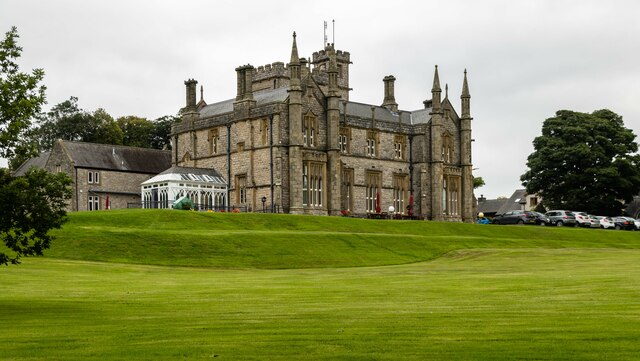
Urswick Grammar School
Urswick Grammar School was located in Little Urswick, Cumbria, England. The school was founded in 1585 as the result of a royal charter granted by Queen...

Birkrigg stone circle
The Birkrigg stone circle (also known as the Druid's Temple or Druids' Circle) is a Bronze Age stone circle on Birkrigg Common, two miles south of Ulverston...
Nearby Amenities
Located within 500m of 54.130304,-3.09866Have you been to Aldingham?
Leave your review of Aldingham below (or comments, questions and feedback).