Aldingbourne
Settlement in Sussex Arun
England
Aldingbourne
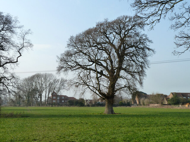
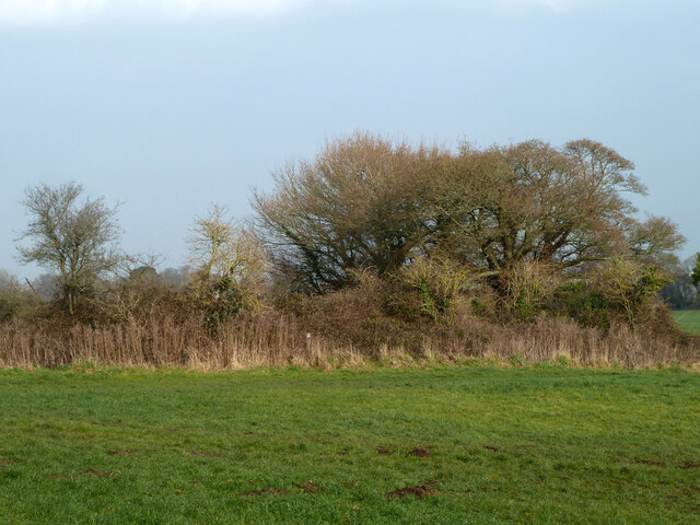
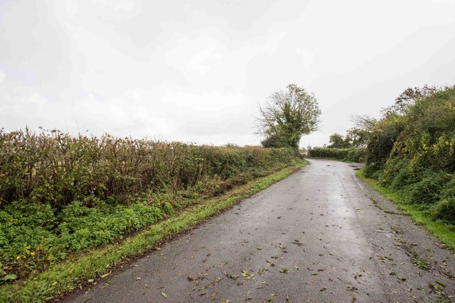
Aldingbourne is a small village located in the county of Sussex, England. Situated approximately 3 miles north of the city of Chichester, Aldingbourne is known for its picturesque countryside and tranquil atmosphere. The village is surrounded by rolling hills, lush green fields, and meandering streams, offering residents and visitors a charming rural setting.
The history of Aldingbourne dates back to the Roman era, with evidence of settlements and Roman roads found in the area. Over the centuries, the village has evolved into a close-knit community, with a population of around 800 residents.
Despite its small size, Aldingbourne offers a range of amenities and services. The village has a primary school, a local church, and a village hall, which serves as a hub for various community activities. Additionally, there are a few shops and pubs that cater to the needs of the locals.
One of the notable landmarks in Aldingbourne is the Aldingbourne Country Centre, a charitable organization that provides support and care for individuals with learning disabilities. The center offers vocational training, horticultural activities, and various therapeutic services.
Surrounding Aldingbourne, visitors can explore the beautiful South Downs National Park, which offers an abundance of walking and cycling trails. The nearby city of Chichester also offers a range of cultural and historical attractions, including the famous Chichester Cathedral and the Pallant House Gallery.
Overall, Aldingbourne is a charming village that offers a peaceful and idyllic setting for those seeking a countryside retreat, while still providing convenient access to nearby amenities and attractions.
If you have any feedback on the listing, please let us know in the comments section below.
Aldingbourne Images
Images are sourced within 2km of 50.840609/-0.687156 or Grid Reference SU9205. Thanks to Geograph Open Source API. All images are credited.


Aldingbourne is located at Grid Ref: SU9205 (Lat: 50.840609, Lng: -0.687156)
Administrative County: West Sussex
District: Arun
Police Authority: Sussex
What 3 Words
///surviving.restored.venturing. Near Westergate, West Sussex
Nearby Locations
Related Wikis
Aldingbourne
Aldingbourne is a village, Anglican parish and civil parish in the Arun District of West Sussex, England. It is centred 4 miles (6.4 km) north of Bognor...

RAF Tangmere
Royal Air Force Tangmere or more simply RAF Tangmere is a former Royal Air Force station located in Tangmere, England, famous for its role in the Battle...

Ormiston Six Villages Academy
Ormiston Six Villages Academy (formerly Westergate Community School) is a coeducational secondary school for 11 to 16-year-old students (Y7-11) with academy...
South Coast Plain
The South Coast Plain is a natural region in England running along the central south coast in the counties of East and West Sussex and Hampshire. It has...
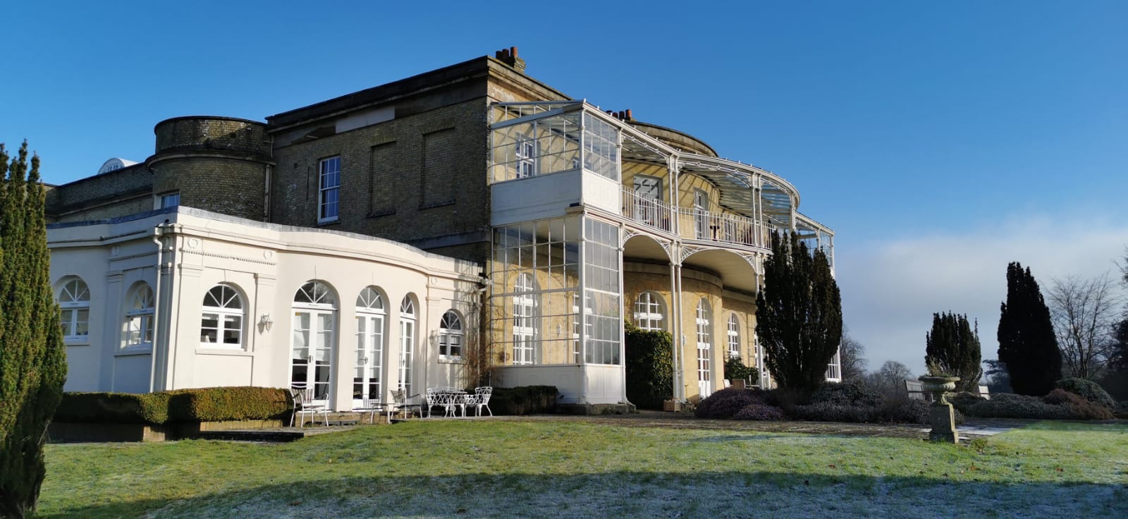
Aldingbourne House
Aldingbourne House is a Regency Era Grade II listed country house in the Arun district of West Sussex. It was built in 1799, with later alterations and...
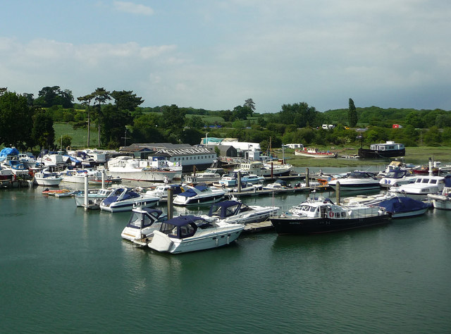
Crockerhill, West Sussex
Crockerhill is a hamlet on the A27 road between Tangmere and Fontwell in West Sussex, England. It has one public house, The Winterton Arms.. At the 2011...

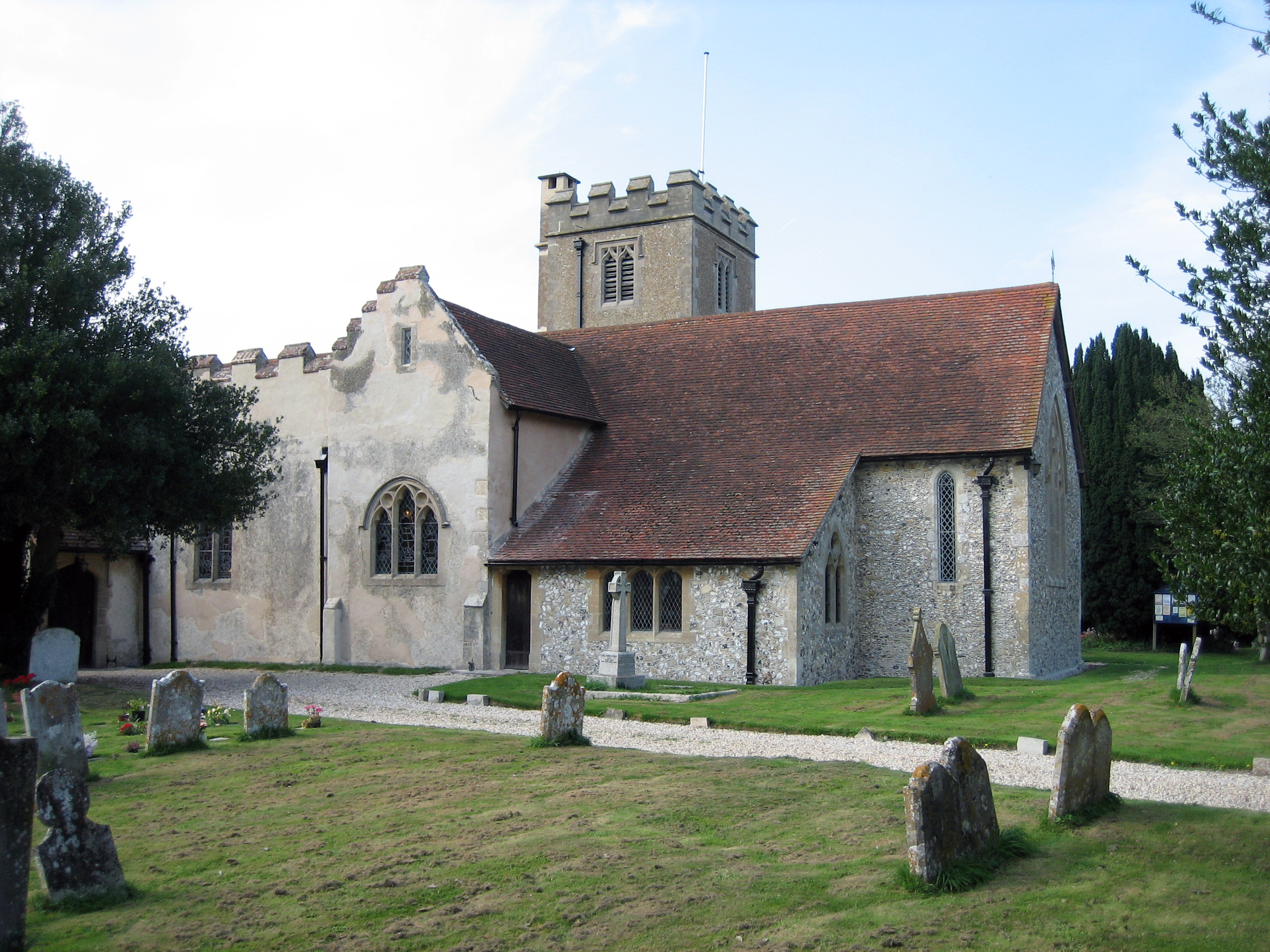
St George's Church, Eastergate
St George's Church is an Anglican church in the village of Eastergate in West Sussex, England. It is the ancient parish church of Eastergate, although...
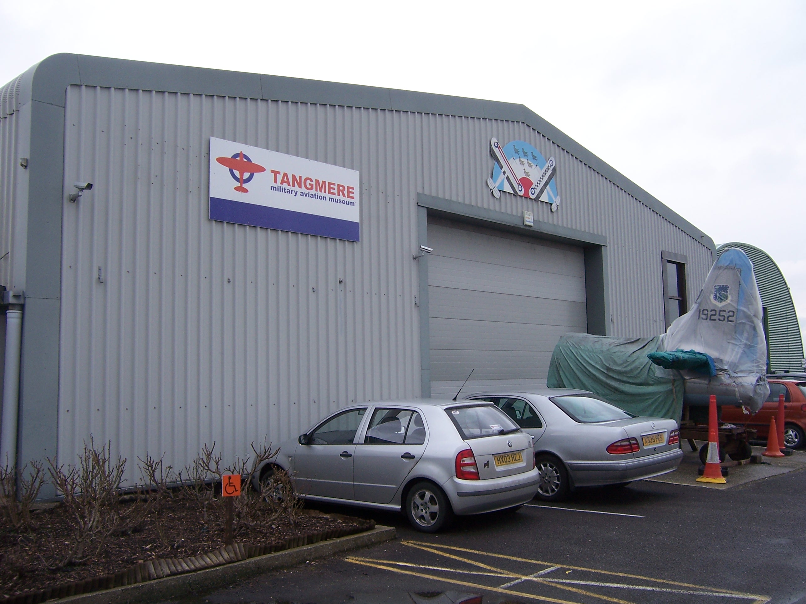
Tangmere Military Aviation Museum
The Tangmere Military Aviation Museum is a museum located on the former site of RAF Tangmere, West Sussex. The museum was opened in June 1982. Many aerospace...
Nearby Amenities
Located within 500m of 50.840609,-0.687156Have you been to Aldingbourne?
Leave your review of Aldingbourne below (or comments, questions and feedback).