Aldham
Settlement in Suffolk Babergh
England
Aldham
Aldham is a village located in the Babergh district of Suffolk, England. Nestled amidst the picturesque countryside, this rural settlement offers a tranquil escape from the hustle and bustle of city life. The village is situated approximately 6 miles northeast of Colchester and 14 miles south of Ipswich, making it easily accessible for residents and visitors alike.
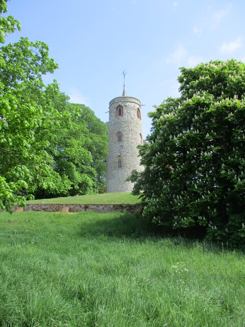
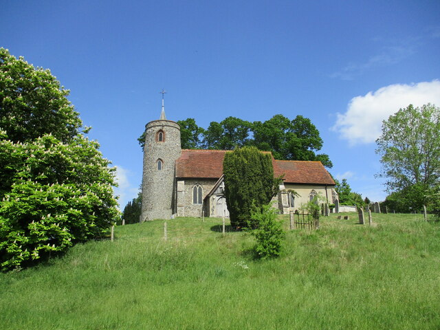
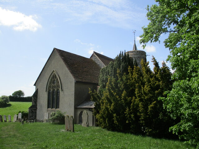
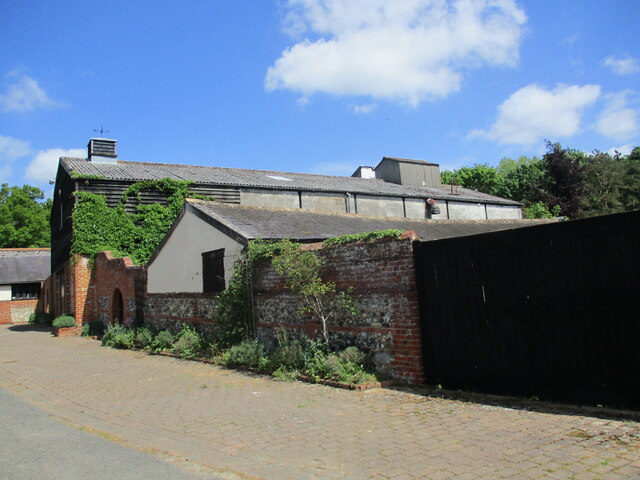
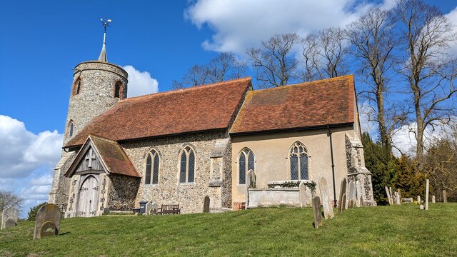
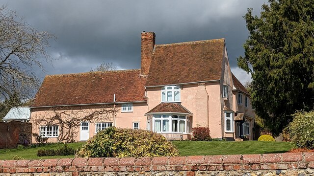
Aldham boasts a rich history dating back to Roman times, and evidence of its past can still be seen in the form of ancient buildings and landmarks. The village church, dedicated to St. Mary, is a prominent feature with its stunning architecture and historical significance. The surrounding landscape is dotted with charming cottages, many of which retain their original thatched roofs, adding to the village's quintessential English charm.
Despite its small size, Aldham offers a range of amenities for its residents. The village has a primary school, providing education for the local children, as well as a village hall that serves as a hub for community events and gatherings. Additionally, a local pub offers a cozy spot to enjoy a traditional meal or a pint of ale.
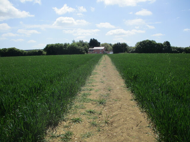
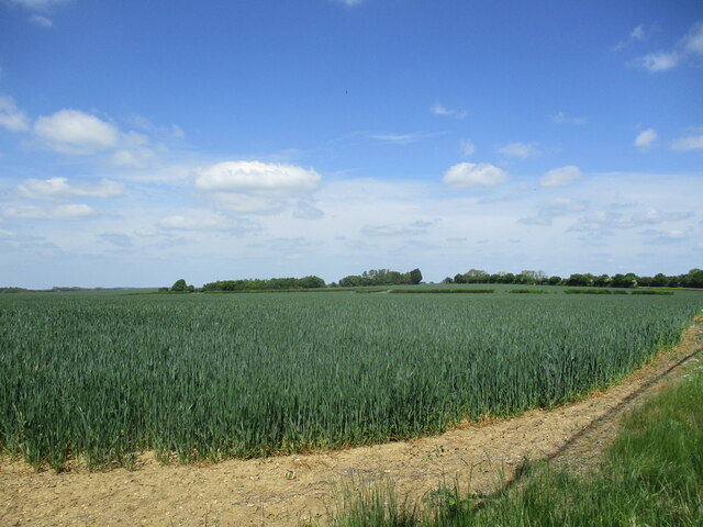
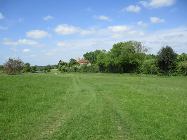
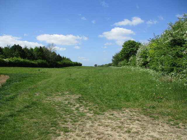
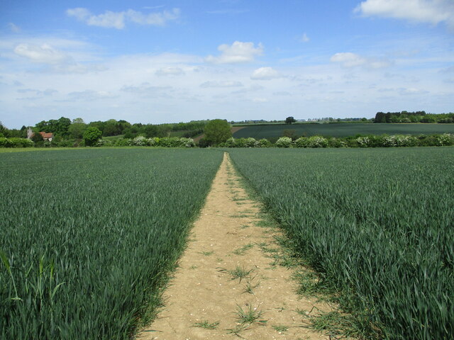
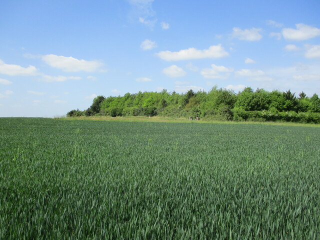
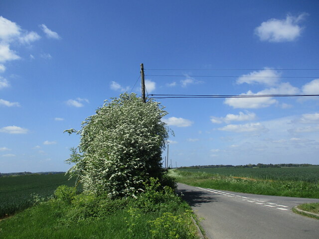
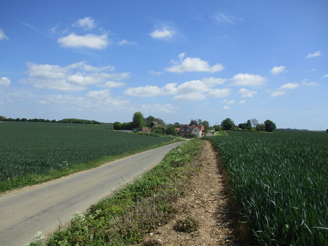
For outdoor enthusiasts, Aldham offers an abundance of scenic walks and trails, allowing visitors to explore the beautiful countryside and take in the natural beauty of the area. The village is also located near several nature reserves and parks, providing ample opportunities for wildlife spotting and outdoor activities.
Overall, Aldham is a quaint and idyllic village that offers a peaceful retreat in the heart of Suffolk's countryside, teeming with history and natural beauty.
If you have any feedback on the listing, please let us know in the comments section below.
Aldham Images
Images are sourced within 2km of 52.063234/0.97137 or Grid Reference TM0344. Thanks to Geograph Open Source API. All images are credited.
Aldham is located at Grid Ref: TM0344 (Lat: 52.063234, Lng: 0.97137)
Administrative County: Suffolk
District: Babergh
Police Authority: Suffolk
What 3 Words
///speedily.splash.eyeliner. Near Hadleigh, Suffolk
Nearby Locations
Related Wikis

Aldham, Suffolk
Aldham is a village and civil parish in the Babergh district of Suffolk, England. Located around 8 miles (13 km) west of Ipswich, in 2005 it had a population...
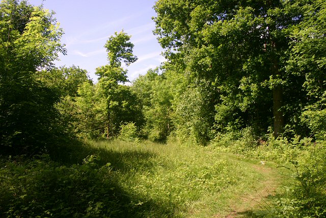
Wolves Wood
Wolves Wood is a woodland near Hadleigh, Suffolk. It is one of 7 ancient woodland areas within Suffolk. An ancient woodland is defined as a site that has...
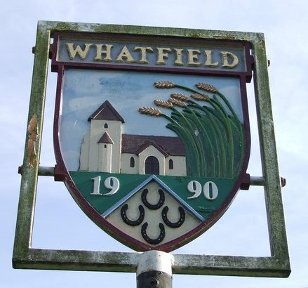
Whatfield
Whatfield is a village and civil parish in Suffolk, England. Located around 2 miles (3.2 km) north of Hadleigh, it is part of Babergh district. == Origin... ==

Hadleigh, Suffolk
Hadleigh () is an ancient market town and civil parish in the Babergh district of Suffolk, England. The town is situated next to the River Brett, between...

Babergh District
Babergh District (pronounced , BAY-bə) is a local government district in Suffolk, England. Primarily a rural area, Babergh contains two towns of notable...

Hadleigh High School
Hadleigh High School is situated on Highlands Road in Hadleigh, Suffolk, England. It is a secondary school with academy status, and has around 760 pupils...

St Mary's Church, Hadleigh
St Mary's is an Anglican church in Hadleigh, Suffolk. It is an active parish church in the Diocese of St Edmundsbury and Ipswich and the archdeaconry of...

Corn Exchange, Hadleigh
The Corn Exchange is a commercial building in the Market Place in Hadleigh, Suffolk, England. The structure, which currently accommodates a small business...
Nearby Amenities
Located within 500m of 52.063234,0.97137Have you been to Aldham?
Leave your review of Aldham below (or comments, questions and feedback).