Aldham
Settlement in Essex Colchester
England
Aldham
Aldham is a village located in the county of Essex, England. Situated about 8 miles north-west of Colchester, it is nestled amidst the picturesque countryside of the Dedham Vale, an Area of Outstanding Natural Beauty. The village is part of the Colchester borough and falls within the postcode district CO6.
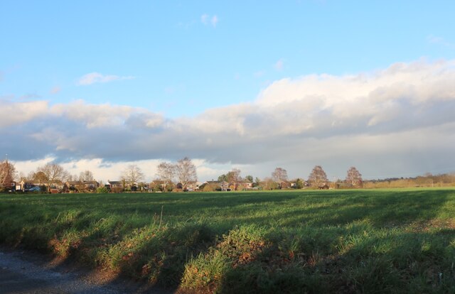
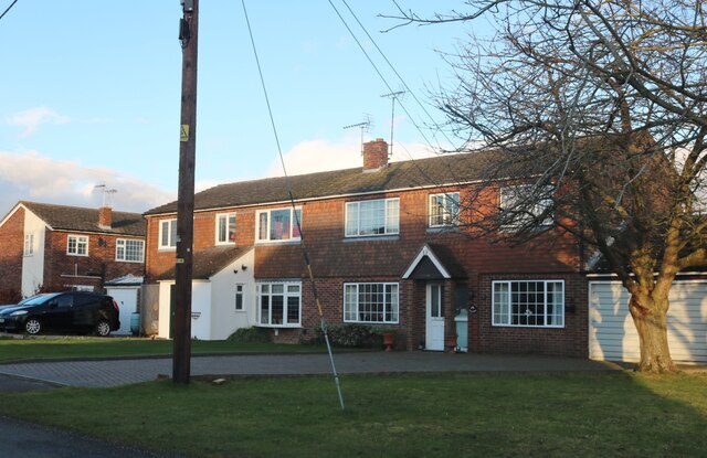
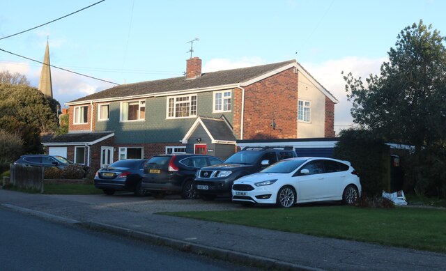
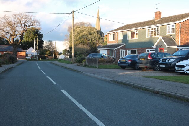
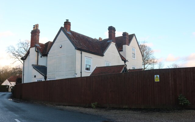
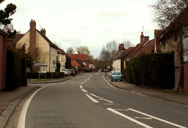
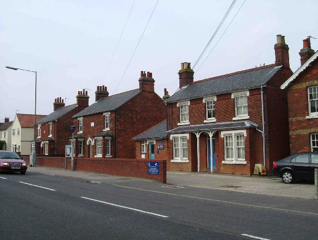
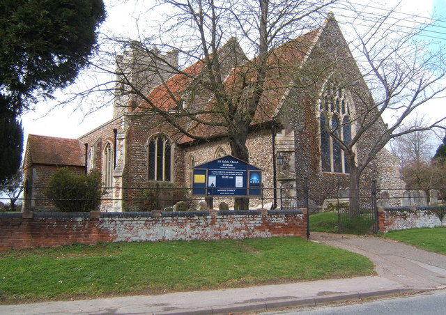
With a population of around 900 residents, Aldham exudes a quintessential English village charm. It boasts a range of traditional architecture, including timber-framed cottages and thatched roofs, which add to its idyllic appeal. The village is well-served by amenities, including a local primary school, a village hall, and a historic church, St. Margaret of Antioch, dating back to the 12th century.
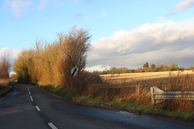
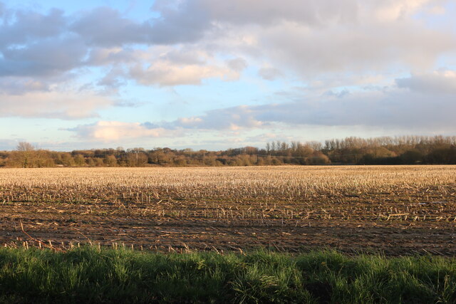
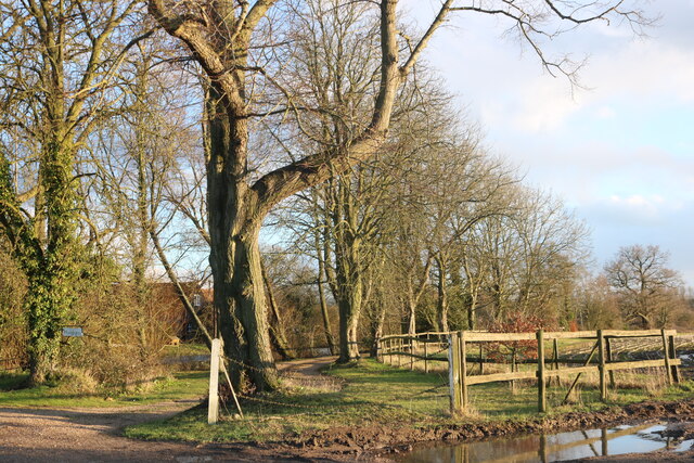
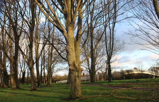
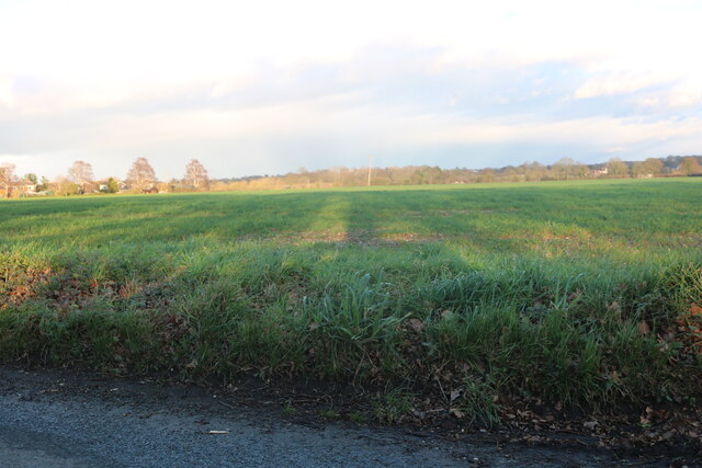
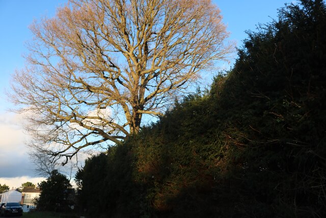
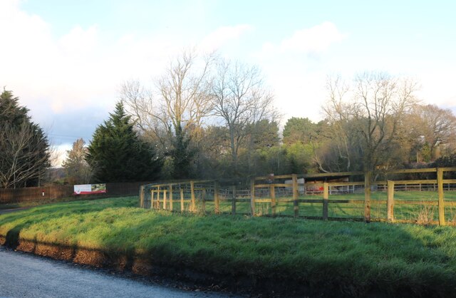
Surrounded by lush green fields and rolling hills, Aldham offers ample opportunities for outdoor pursuits. The nearby Dedham Vale provides a tranquil setting for leisurely walks, horse riding, and cycling. The River Stour, which flows through the village, is popular for boating and fishing enthusiasts.
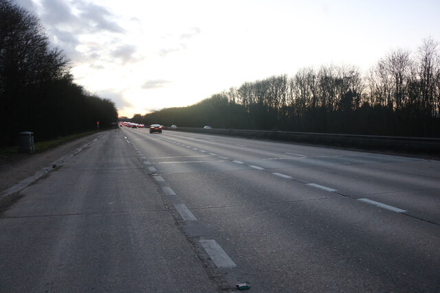
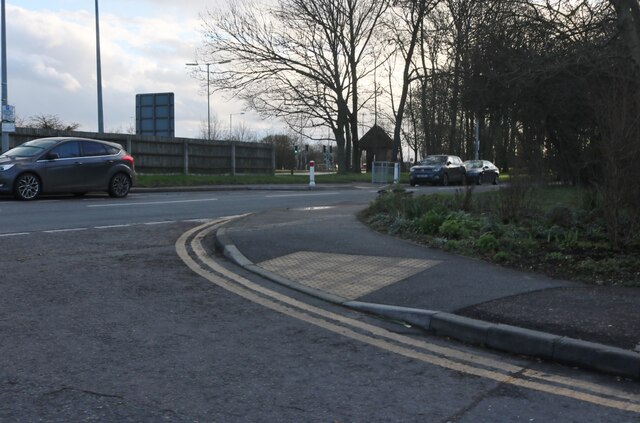
Despite its rural character, Aldham benefits from good transport links. The A12 road passes close by, providing easy access to Colchester, Ipswich, and London. Colchester North railway station is approximately 6 miles away, connecting residents to major cities across the country.
Overall, Aldham offers a serene and close-knit community, abundant natural beauty, and convenient access to essential amenities, making it an attractive place to live for those seeking a peaceful countryside lifestyle.
If you have any feedback on the listing, please let us know in the comments section below.
Aldham Images
Images are sourced within 2km of 51.897813/0.7861 or Grid Reference TL9125. Thanks to Geograph Open Source API. All images are credited.

Aldham is located at Grid Ref: TL9125 (Lat: 51.897813, Lng: 0.7861)
Administrative County: Essex
District: Colchester
Police Authority: Essex
What 3 Words
///revival.grab.forge. Near Eight Ash Green, Essex
Related Wikis

Aldham, Essex
Aldham is a village and civil parish in the City of Colchester district of Essex, England. It is located 4+1⁄2 mi (7.2 km) west of Colchester. The village...
Fordstreet
Fordstreet or Ford Street is a village on the A1124 road, in the civil parish of Aldham in the Colchester district in Essex, England. It is located on...

Marks Tey Brickpit
Marks Tey Brickpit is a 29.5-hectare (73-acre) geological Site of Special Scientific Interest in Marks Tey in Essex. It is a Geological Conservation Review...

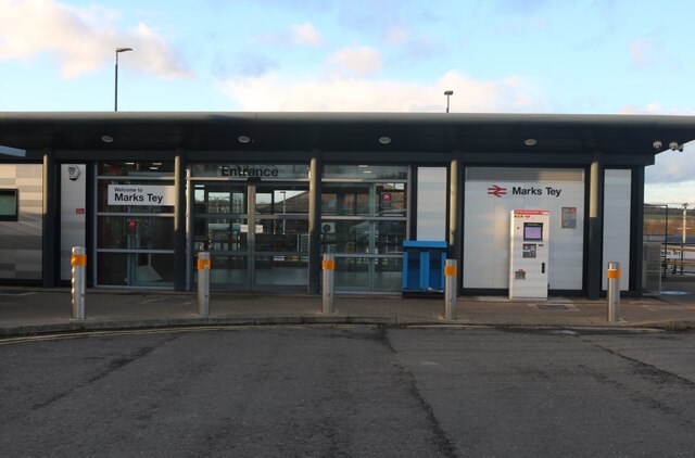
Marks Tey railway station
Marks Tey railway station is on the Great Eastern Main Line (GEML) in the East of England, serving the large village of Marks Tey, Essex. It is 46 miles...

Fordham Heath
Fordham Heath is a hamlet near the A1124 road, in the Colchester district, in the English county of Essex. It is near the large town of Colchester and...

St Andrew's Church, Marks Tey
St Andrew's Church is a Church of England parish church in the Essex village of Marks Tey. It was Grade I listed in 1965.Its nave was built around 1100...
Copford
Copford is a village and civil parish in the City of Colchester district of Essex, England. It is 3 kilometres (2 mi) west of Colchester, and the hamlet...
All Saints Church, Fordham
All Saints Church is a Church of England parish church in Fordham, Essex. The church is a Grade I listed building. == History == All Saints' Anglican Church...
Nearby Amenities
Located within 500m of 51.897813,0.7861Have you been to Aldham?
Leave your review of Aldham below (or comments, questions and feedback).