Aldington

Settlement in Worcestershire Wychavon

England

Aldington

Dual carriageway ends on the A44 The north side of Longdon Hill's dual carriageway.  The "U" turn facility is interesting: this is the only signpost for it.
Dual carriageway ends on the A44 Credit: Peter Whatley

Aldington is a charming village located in the county of Worcestershire, England. Situated about 4 miles southeast of Evesham, it is nestled amidst the picturesque rolling hills of the Cotswolds, offering residents and visitors stunning views of the surrounding countryside.

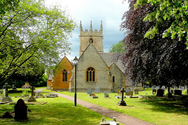
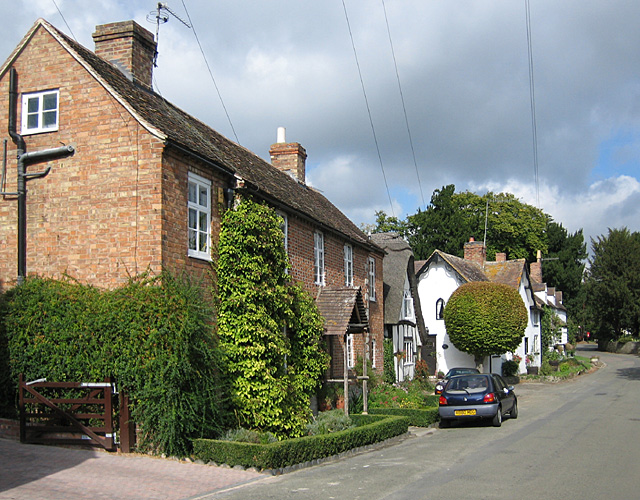
The village is home to approximately 300 residents and is known for its tranquil and idyllic setting. The architecture in Aldington is predominantly traditional, with many historic buildings and thatched cottages adding to its quaint charm. The centerpiece of the village is the Grade II listed St. Peter's Church, which dates back to the 12th century and features beautiful stained glass windows and a picturesque churchyard.

Aldington is surrounded by lush farmlands, making it a haven for nature lovers and outdoor enthusiasts. The area offers ample opportunities for walking, cycling, and exploring the countryside. The village is also in close proximity to the River Avon, providing opportunities for fishing and boating.

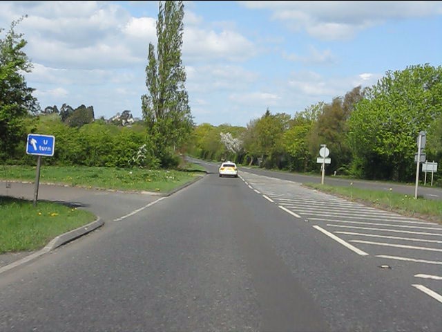
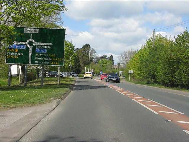
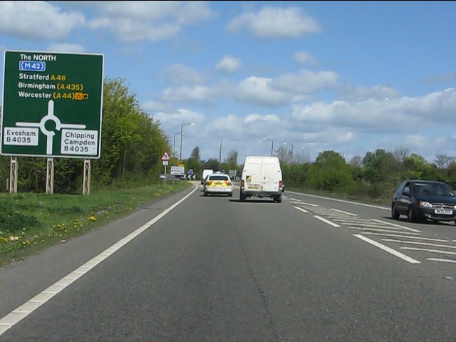
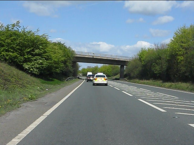
Despite its rural setting, Aldington benefits from excellent transport links. The nearby A46 road connects the village to major towns and cities in the region, including Worcester, Cheltenham, and Stratford-upon-Avon. The village is also conveniently located near Evesham railway station, providing easy access to Birmingham and London.

Aldington may be small in size, but it offers a strong sense of community and a peaceful way of life. With its stunning natural surroundings, rich history, and convenient location, the village is a hidden gem in Worcestershire's countryside.

If you have any feedback on the listing, please let us know in the comments section below.
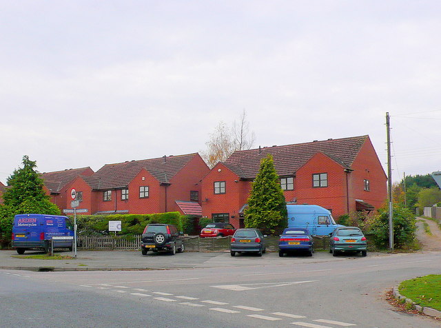
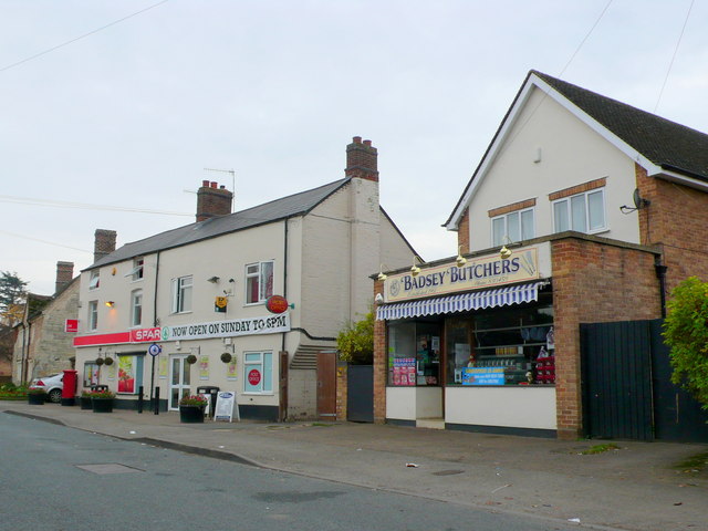
Aldington Images

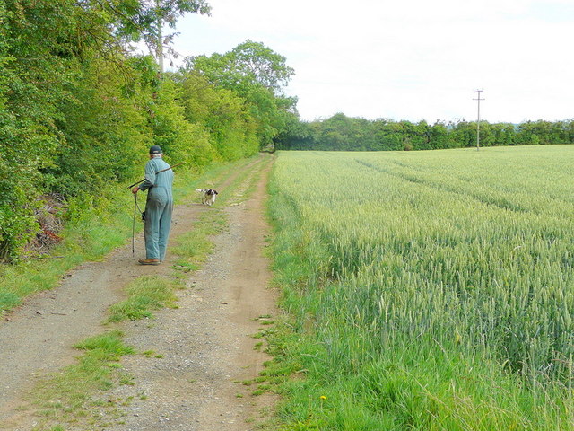
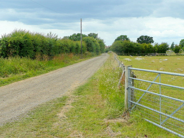
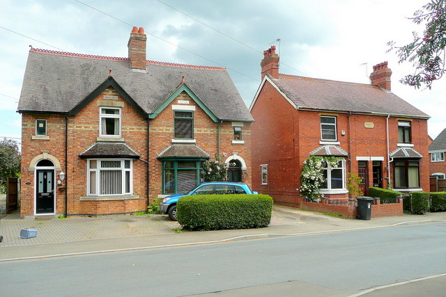
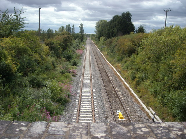
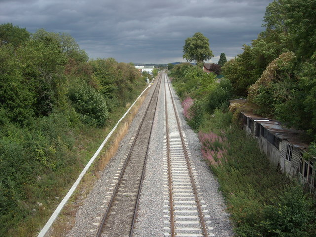
Images are sourced within 2km of 52.094963/-1.90853 or Grid Reference SP0644. Thanks to Geograph Open Source API. All images are credited.

Dual carriageway ends on the A44 The north side of Longdon Hill's dual carriageway.  The "U" turn facility is interesting: this is the only signpost for it.
Dual carriageway ends on the A44
The north side of Longdon Hill's dual carriageway. The "U" turn facility is interesting: this is the only signpost for it.
A44 approaches the Evesham bypass The A44 and A46 are conjoined for the bypass, going separate ways again near Twyford.
A44 approaches the Evesham bypass
The A44 and A46 are conjoined for the bypass, going separate ways again near Twyford.
A44 southern roundabout, Evesham bypass
Evesham bypass - no right turn ahead for Knowle Hill
Evesham bypass - approaching the B4035 roundabout
Evesham bypass - B4510 overbridge
Speeding along the Evesham bypass Don't worry, we'll soon catch up with the police car again due to the traffic ahead.  The driving style undoubtedly had nothing to link it with a 2pm shift change at Worcester HQ.
Speeding along the Evesham bypass
Don't worry, we'll soon catch up with the police car again due to the traffic ahead. The driving style undoubtedly had nothing to link it with a 2pm shift change at Worcester HQ.
St. James's church Badsey A rare shaft of sunlight illuminates the east end of this village church in the Vale of Evesham.
St. James's church Badsey
A rare shaft of sunlight illuminates the east end of this village church in the Vale of Evesham.
Taking the springer out An afternoon dog-walking near Badsey.
Taking the springer out
An afternoon dog-walking near Badsey.
Sands Lane Also a bridleway, looking towards Badsey.
Sands Lane
Also a bridleway, looking towards Badsey.
Edwardian villas, Badsey Substantial village houses opposite the church.
Edwardian villas, Badsey
Substantial village houses opposite the church.
Oxford to Worcester Line The view looking west from bridge 104-51 showing the recently completed double tracking of the line.
Oxford to Worcester Line
The view looking west from bridge 104-51 showing the recently completed double tracking of the line.
Worcester to Oxford Line The view looking east from bridge 104-51 showing the recently completed double tracking of the line.
Worcester to Oxford Line
The view looking east from bridge 104-51 showing the recently completed double tracking of the line.
Bridge 104-51 The road bridge over the Oxford to Worcester railway line.
Bridge 104-51
The road bridge over the Oxford to Worcester railway line.
Unmade lane of Station Road, Offenham An unmade lane leading into the fields at the side of the Oxford to Worcester railway line.
Unmade lane of Station Road, Offenham
An unmade lane leading into the fields at the side of the Oxford to Worcester railway line.
Blackminster Middle School These are the entrance gates to the school set back in a small lay by just off the B4085 Blackminster to Littleton road.
Blackminster Middle School
These are the entrance gates to the school set back in a small lay by just off the B4085 Blackminster to Littleton road.
Houses at Blackminster Crossroads These houses are at the crossroads where the B4085 is crossed by the minor road from Offenham to Honeybourne. The track to the right of the houses leads to an industrial estate.
Houses at Blackminster Crossroads
These houses are at the crossroads where the B4085 is crossed by the minor road from Offenham to Honeybourne. The track to the right of the houses leads to an industrial estate.
Shops on Badsey High St The shops are right on the very edge of the square so that the grid line follows the line of the pavement. The shops are in SP 0643 but the road in front of them is in SP0743
Shops on Badsey High St
The shops are right on the very edge of the square so that the grid line follows the line of the pavement. The shops are in SP 0643 but the road in front of them is in SP0743
Show me another place!

Aldington is located at Grid Ref: SP0644 (Lat: 52.094963, Lng: -1.90853)

Administrative County: Worcestershire

District: Wychavon

Police Authority: West Mercia

What 3 Words

///devalued.ignoring.sizing. Near Badsey, Worcestershire

Nearby Locations

Aldington

Related Wikis

Aldington, Worcestershire

Aldington is a village and civil parish in the Wychavon district of Worcestershire, England. It is about three miles east of Evesham, and according to...

Blackminster

Blackminster is a Hamlet in Worcestershire, England. Features include a large middle school, haulage and horticultural produce companies. Littleton and...

Littleton and Badsey railway station

Littleton and Badsey railway station was a station on the Great Western Railway's Oxford, Worcester and Wolverhampton line, near the town of Evesham, Worcestershire...
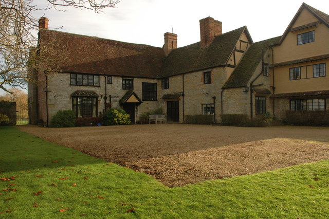
Wickhamford Manor

Wickhamford Manor, Wickhamford, Worcestershire is a manor house dating from the 16th century. It was the childhood home of James Lees-Milne, the writer...

Related Videos

Long Acres Holiday Park - Evesham, Worcestershire - Promotional Video

Created for Moss Parks. Copyright Moss Parks/Studio3 Photography Cabins for sale www.mossparks.co.uk.

A wet spring morning in Evesham | English town 4K walk

A morning walk through Evesham and along the River Avon. MORE VIDEOS LIKE THIS: â–·English Town Walks ...

Evesham Day Trips

Unplanned moments are always better than planned ones.

Evesham Bell Tower. walking underneath at night.

Walking under the Evesham Bell Tower At Night.

Nearby Amenities

Located within 500m of 52.094963,-1.90853
Aldington
Place: village
Wikidata: Q727396
Wikipedia: en:Aldington, Worcestershire
Lat/Long: 52.0956488/-1.9083507
Bus Stop
Badsey Road - Ashdown Farm
Bus: yes
Naptan AtcoCode: 2000G323148
Naptan Bearing: E
Naptan CommonName: Badsey Road - Ashdown Farm
Naptan Indicator: opp
Naptan Landmark: Ashdown Farm
Naptan NaptanCode: wocdtagt
Naptan Street: Badsey Road
Naptan Verified: no
Note: exists
Public Transport: platform
Source: naptan_import
Lat/Long: 52.0921836/-1.9142837
Bus Stop
Aldington Turn
Bus: yes
Naptan AtcoCode: 2000G323150
Naptan Bearing: E
Naptan CommonName: Aldington Turn
Naptan Crossing: Village Street
Naptan Indicator: Adj
Naptan NaptanCode: wocdtaja
Naptan Street: Badsey Road
Naptan Verified: no
Public Transport: platform
Source: naptan_import
Lat/Long: 52.0914984/-1.9059032
Bus Stop
Aldington Turn
Bus: yes
Naptan AtcoCode: 2000G323151
Naptan Bearing: W
Naptan CommonName: Aldington Turn
Naptan Crossing: Village Street
Naptan Indicator: opp
Naptan NaptanCode: wocdtajd
Naptan Street: Badsey Road
Naptan Verified: no
Public Transport: platform
Source: naptan_import
Lat/Long: 52.0913935/-1.9065127
Waterway: weir
Lat/Long: 52.0943305/-1.905813
Public Bookcase
Defibrillator
Booth: K6
Colour: red
Defibrillator Location: inside red phone box (that is now a book exchange), Main Street, Aldington
Disused Amenity: telephone
Emergency: defibrillator
Man Made: telephone_box
Public Bookcase Type: phone_box
Ref GB The Circuit: A7EBDC94-9920-4F41-A95D-8594CD6B4D7B
Lat/Long: 52.0950623/-1.9081977
Post Box
Post Box Manufacturer: Carron Company, Stirlingshire
Post Box Type: lamp
Ref: WR11 10
Royal Cypher: EIIR
Royal Cypher Wikidata: Q33102113
Source: bing;survey
Source Ref: survey
Lat/Long: 52.0950415/-1.9076978
Thousandth Council House
Image: http://www.badsey.net/ophotos/op51.htm
Inscription: THIS, THE THOUSANDTH HOUSE TO BE BUILT BY THE EVESHAM RURAL DISTRICT COUNCIL WAS OFFICIALLY OPEN IN APRIL 1948 BY C A BINYON ESQ JP CHAIRMAN OF THE COUNCIL SINCE 1924.
Memorial: plaque
Lat/Long: 52.0926925/-1.9022873
Information: noticeboard
Lat/Long: 52.0950845/-1.9083552
Generator Method: photovoltaic
Generator Output Electricity: yes
Generator Source: solar
Generator Type: solar_photovoltaic_panel
Power: generator
Lat/Long: 52.0917865/-1.9039392
Generator Method: photovoltaic
Generator Output Electricity: yes
Generator Source: solar
Generator Type: solar_photovoltaic_panel
Location: roof
Power: generator
Lat/Long: 52.0927085/-1.9028851
Generator Method: photovoltaic
Generator Output Electricity: yes
Generator Source: solar
Generator Type: solar_photovoltaic_panel
Location: roof
Power: generator
Lat/Long: 52.093034/-1.9028892
Generator Method: photovoltaic
Generator Output Electricity: yes
Generator Source: solar
Generator Type: solar_photovoltaic_panel
Location: roof
Power: generator
Lat/Long: 52.0929475/-1.9041404
Generator Method: photovoltaic
Generator Output Electricity: yes
Generator Source: solar
Generator Type: solar_photovoltaic_panel
Location: roof
Power: generator
Lat/Long: 52.0919521/-1.9039258
Generator Method: photovoltaic
Generator Output Electricity: yes
Generator Source: solar
Generator Type: solar_photovoltaic_panel
Location: roof
Power: generator
Lat/Long: 52.0920304/-1.9039392
Generator Method: photovoltaic
Generator Output Electricity: yes
Generator Source: solar
Generator Type: solar_photovoltaic_panel
Location: roof
Power: generator
Lat/Long: 52.09119/-1.9046138
Power: pole
Lat/Long: 52.093509/-1.9029965
Burn Bank
Power: pole
Transformer: distribution
Voltage Primary: 11000
Lat/Long: 52.0976911/-1.9067187
Power: pole
Lat/Long: 52.0970287/-1.9063378
Power: pole
Lat/Long: 52.096211/-1.9058155
Power: pole
Lat/Long: 52.0956846/-1.9055345
Power: pole
Lat/Long: 52.0949064/-1.9051107
Power: pole
Lat/Long: 52.0940264/-1.9049712
Power: pole
Lat/Long: 52.0932132/-1.9047258
Power: pole
Lat/Long: 52.0925013/-1.9058007
Power: pole
Lat/Long: 52.0913502/-1.9054426
Power: pole
Lat/Long: 52.0918162/-1.9058315
Power: pole
Lat/Long: 52.0925372/-1.906423
Power: pole
Lat/Long: 52.0925957/-1.9074087
Village Street Aldington - Trans
Power: pole
Transformer: distribution
Voltage Primary: 11000
Lat/Long: 52.0926315/-1.9080323
Power: pole
Lat/Long: 52.0926756/-1.9086599
Power: pole
Lat/Long: 52.0927184/-1.9094163
Aldington Central
Power: transformer
Transformer: distribution
Voltage Primary: 11000
Lat/Long: 52.0946658/-1.9081134
Location Transition: yes
Power: pole
Lat/Long: 52.094113/-1.9088028
Power: pole
Lat/Long: 52.0937364/-1.9093077
Power: pole
Lat/Long: 52.0933043/-1.9098508
Power: pole
Lat/Long: 52.0937871/-1.9102344
Power: pole
Lat/Long: 52.0917181/-1.9128127
Briar Lea
Power: pole
Transformer: distribution
Voltage Primary: 11000
Lat/Long: 52.0921433/-1.9126283
Power: pole
Lat/Long: 52.0925817/-1.9126175
Power: pole
Lat/Long: 52.0933043/-1.9125545
Aldington
Power: pole
Transformer: distribution
Voltage Primary: 11000
Lat/Long: 52.0944841/-1.9113898
Power: pole
Lat/Long: 52.094033/-1.911094
Power: pole
Lat/Long: 52.0937797/-1.9122688
Power: pole
Lat/Long: 52.094265/-1.9119812
Power: pole
Lat/Long: 52.0938843/-1.9134953
Power: pole
Lat/Long: 52.0935539/-1.9148049
The data included in this document is from www.openstreetmap.org. The data is made available under ODbL.

Have you been to Aldington?

Leave your review of Aldington below (or comments, questions and feedback).