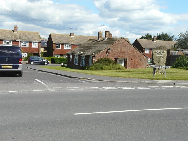
Aldington
Settlement in Kent Ashford
England
Aldington

Aldington is a small village located in the county of Kent, in the southeastern region of England. Situated approximately 10 miles south of Ashford, the village lies within the Ashford borough and is part of the larger civil parish of Aldington and Bonnington.
With a population of around 1,000 residents, Aldington is a quintessential English village characterized by its picturesque countryside surroundings and historic charm. The village is nestled in the Kent Downs, an Area of Outstanding Natural Beauty, offering residents and visitors breathtaking views of rolling hills and lush landscapes.
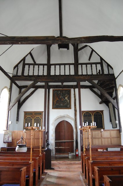
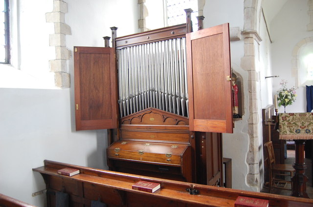
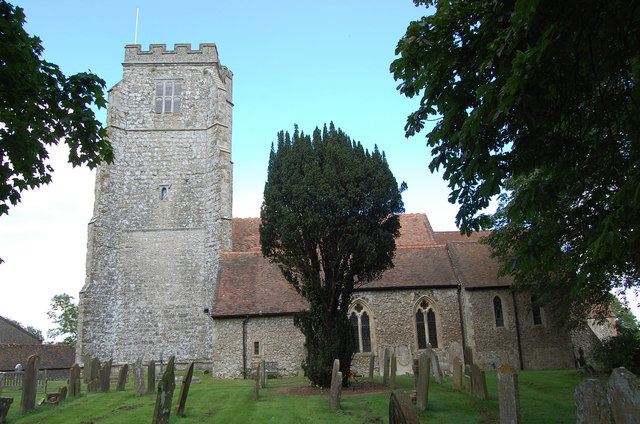
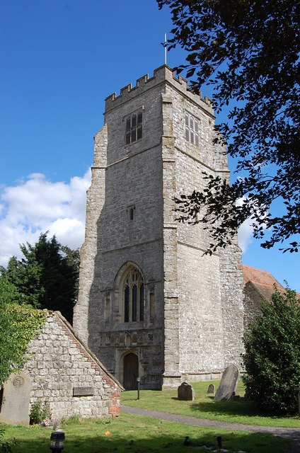
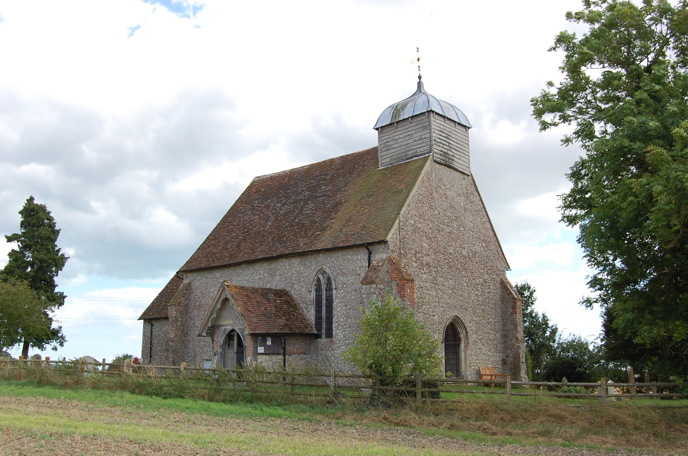
Aldington is known for its rich history, dating back to the Roman times when it was an important settlement. The village is home to several notable landmarks, including the Grade I listed Church of St. Martin, a beautiful medieval church with a distinctive octagonal tower. The church is renowned for its stunning stained glass windows and intricate carvings.
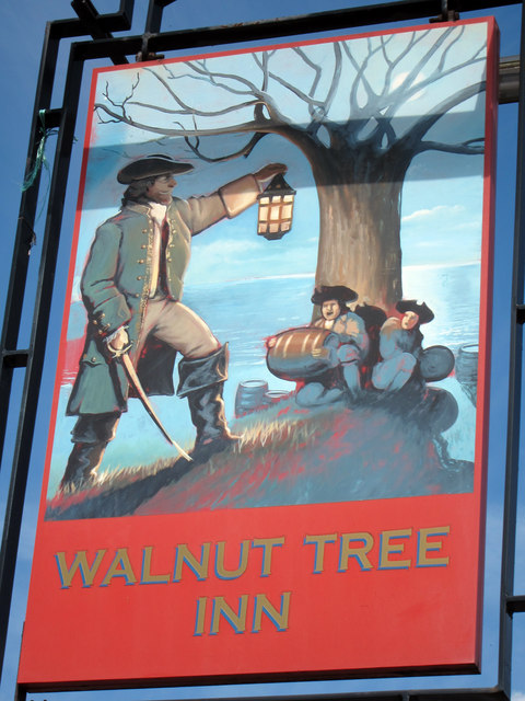
The village also boasts a range of amenities and services, including a primary school, a village hall, a post office, and a pub. The local community is close-knit, with various events and activities organized throughout the year, fostering a strong sense of community spirit.
Surrounded by idyllic countryside, Aldington offers ample opportunities for outdoor pursuits, such as hiking, cycling, and horseback riding. The village is also conveniently located near popular tourist destinations, including the historic city of Canterbury and the charming seaside town of Hythe.
In conclusion, Aldington is a charming rural village in Kent, offering a tranquil and picturesque setting, rich history, and a warm community atmosphere.
If you have any feedback on the listing, please let us know in the comments section below.
Aldington Images
Images are sourced within 2km of 51.088037/0.939764 or Grid Reference TR0536. Thanks to Geograph Open Source API. All images are credited.


Aldington is located at Grid Ref: TR0536 (Lat: 51.088037, Lng: 0.939764)
Administrative County: Kent
District: Ashford
Police Authority: Kent
What 3 Words
///lighters.verbs.vocab. Near Lympne, Kent
Nearby Locations
Related Wikis
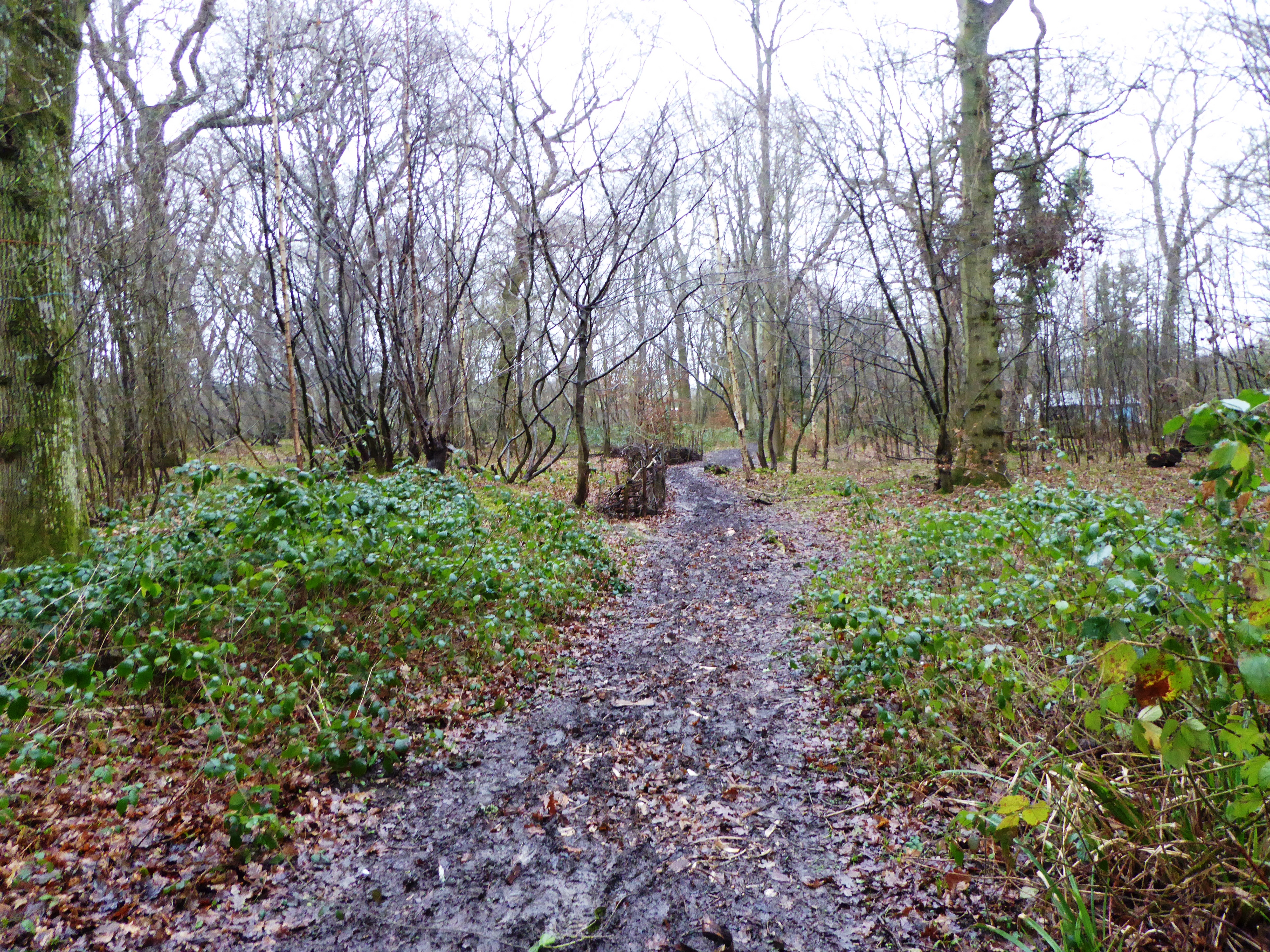
Poulton Wood
Poulton Wood is a 10.2-hectare (25-acre) Local Nature Reserve in Aldington, south-east of Ashford in Kent. It is owned and managed by Canterbury Oast...
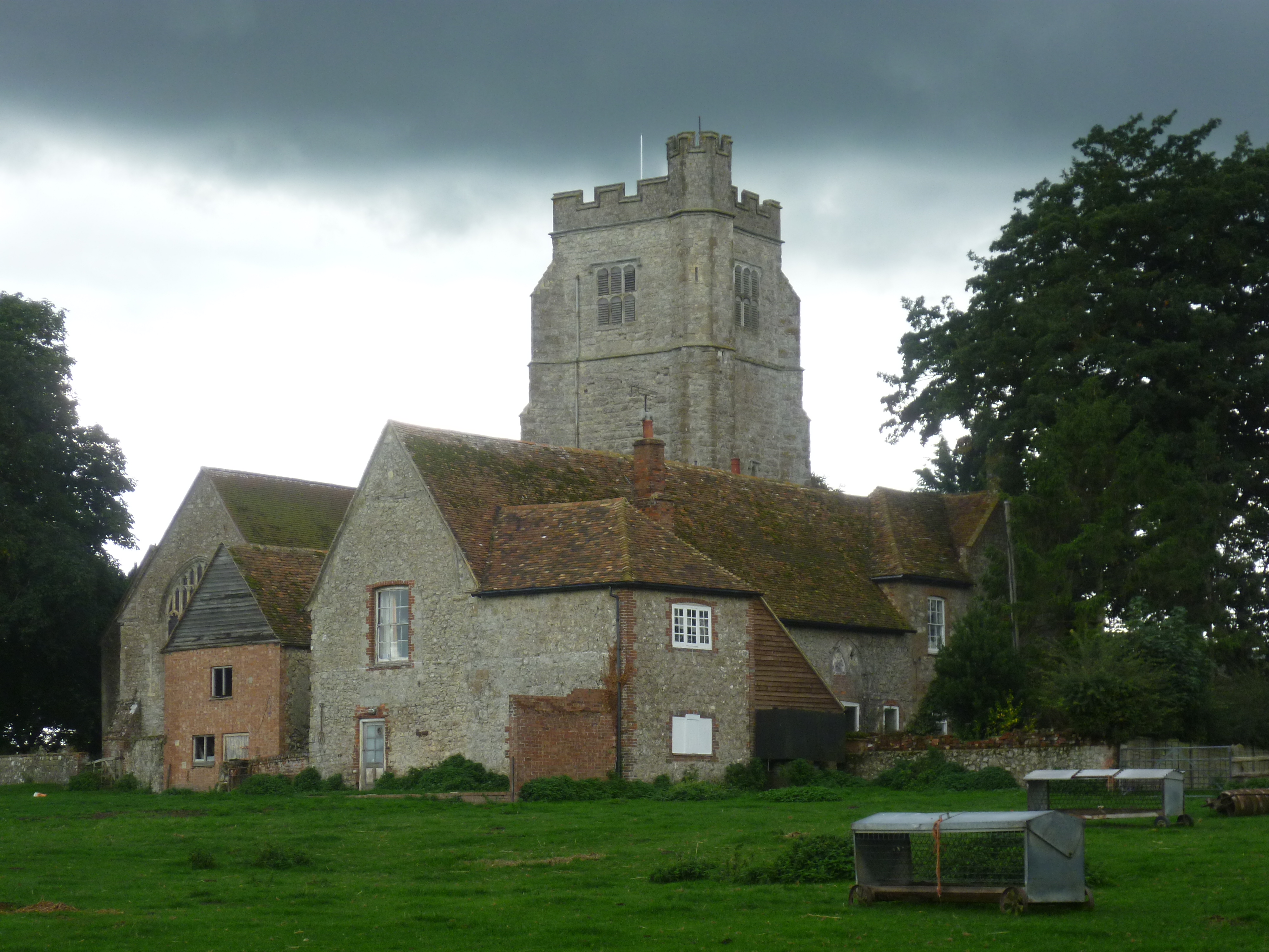
Aldington, Kent
Aldington is a village and civil parish in the Ashford District of Kent, England. The village centre is eight miles (12 km) south-east of the town of Ashford...
Bonnington
Bonnington is a dispersed village and civil parish on the northern edge of the Romney Marsh in Ashford District of Kent, England. The village is located...
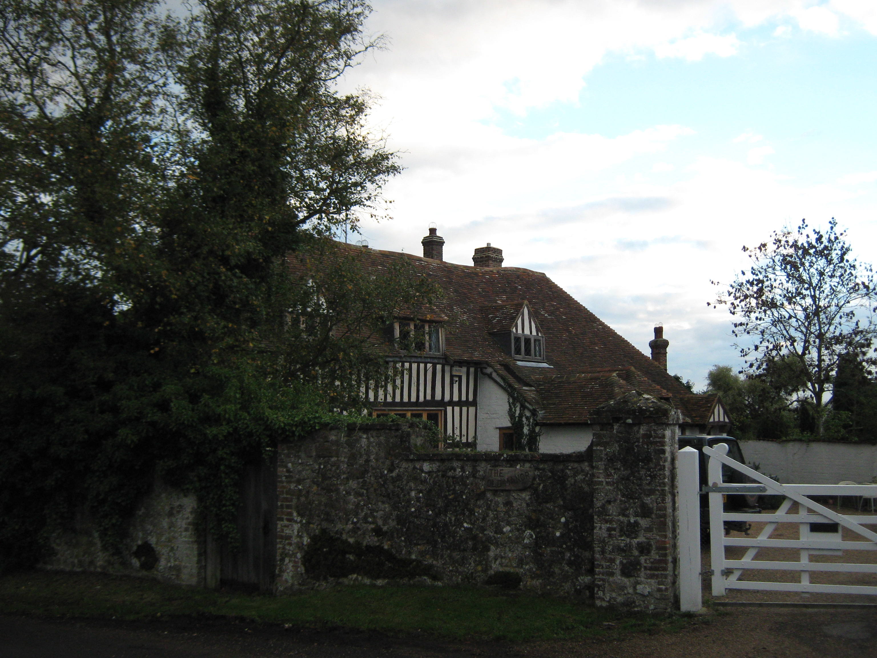
Goldenhurst Farm
Goldenhurst Farm (now Goldenhurst Manor and The Old House, Goldenhurst) is a country house of 17th-century origins in the village of Aldington, Kent,...
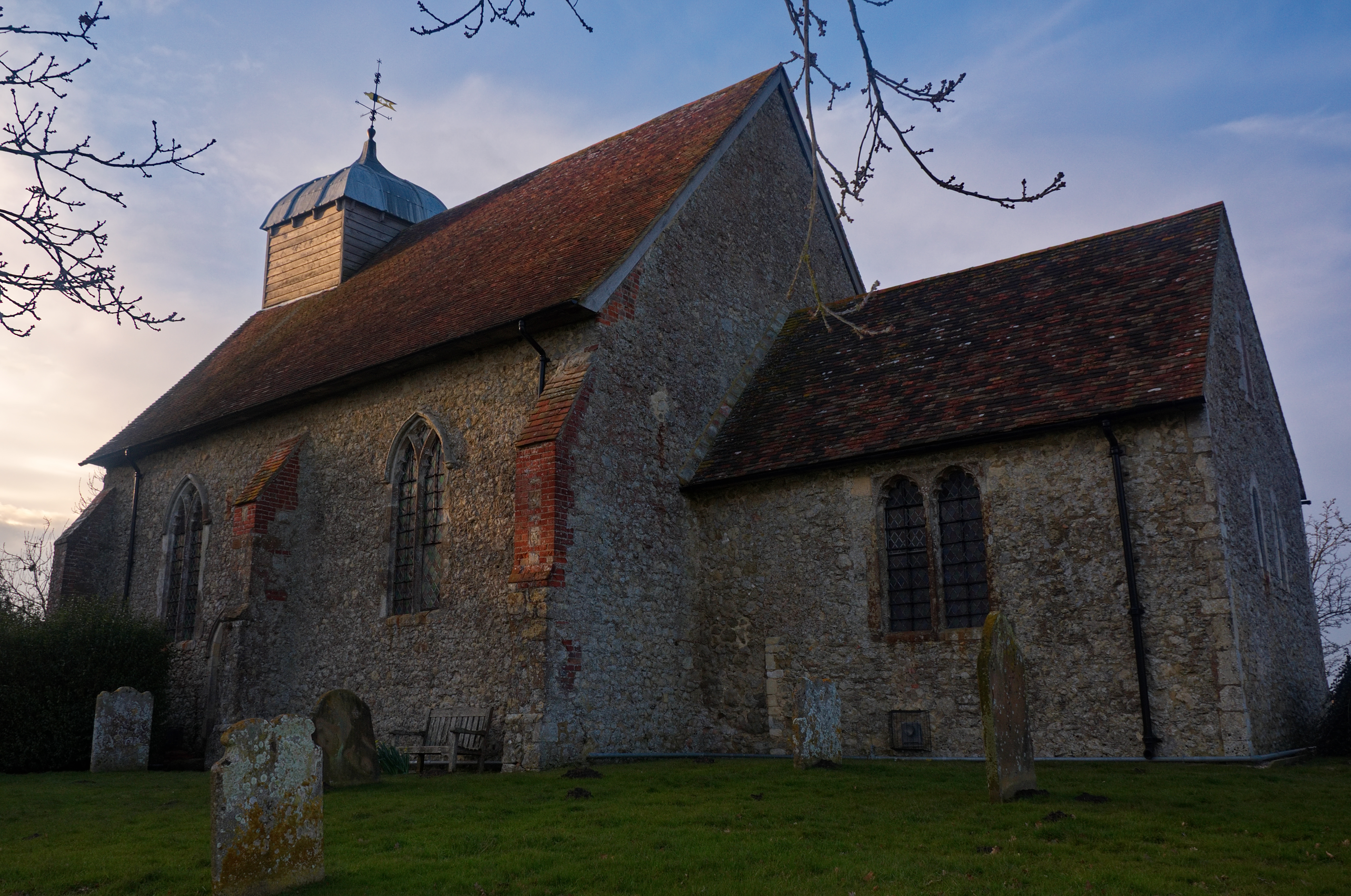
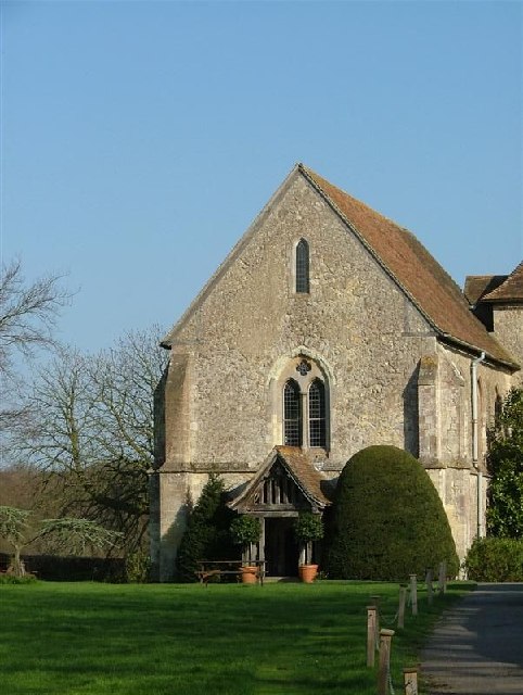
Church of St Rumwold, Bonnington
St Rumwold's Church is an active parish church in the parish of Bonnington, Kent, England. It is a Grade I listed building. == History == Bonnington is...
Bilsington Priory
Bilsington Priory is a former Augustinian priory in Kent, England, about 3⁄4 mile (1 km) north of Bilsington and about 5 miles (8 km) south of Ashford...

Aldington Frith
Aldington Frith is a village in Kent, England, south of Ashford.
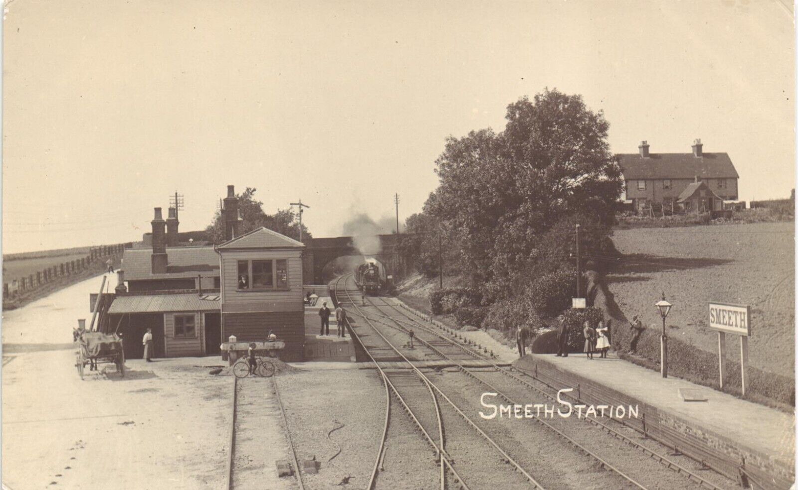
Smeeth railway station
Smeeth is a disused railway station on the South Eastern Main Line which served the village of Smeeth in Kent, England. The station opened in 1852 and...
Nearby Amenities
Located within 500m of 51.088037,0.939764Have you been to Aldington?
Leave your review of Aldington below (or comments, questions and feedback).